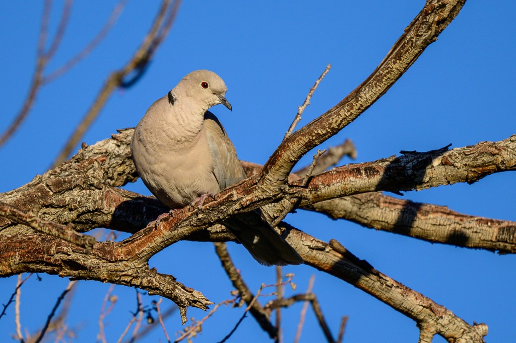
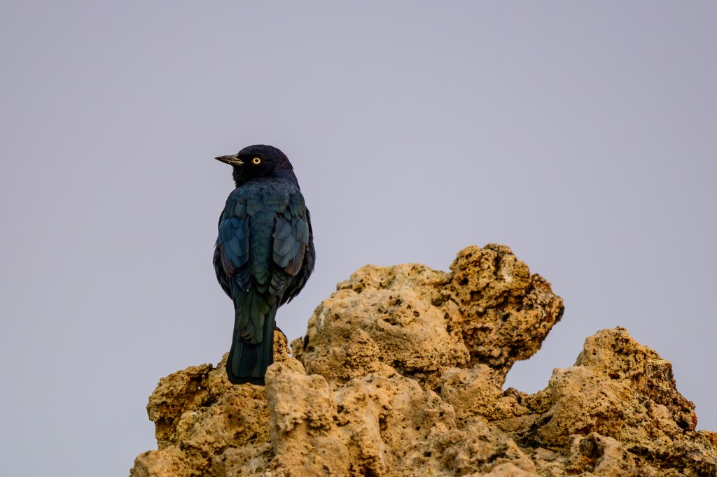
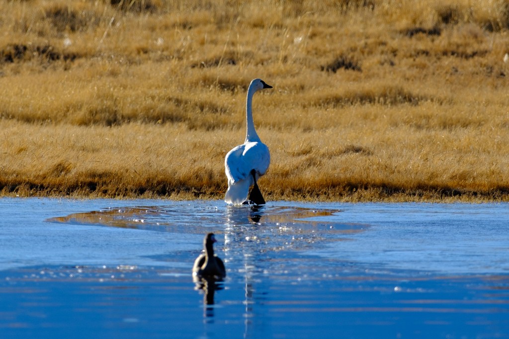
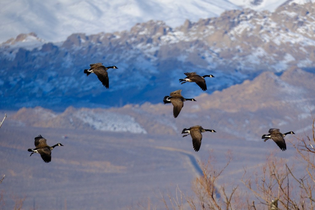
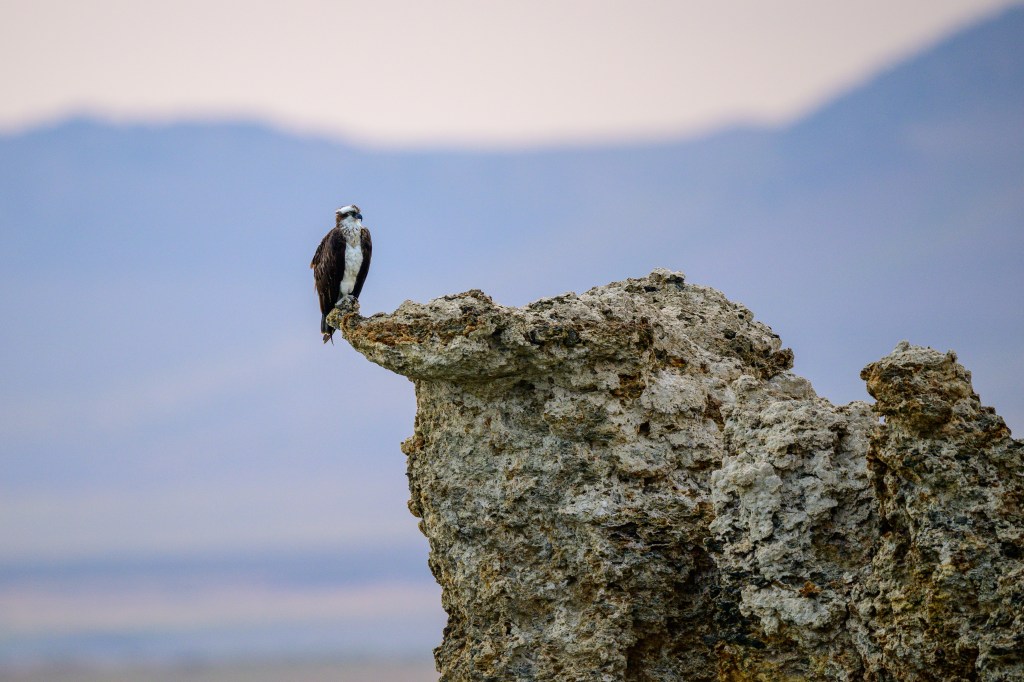
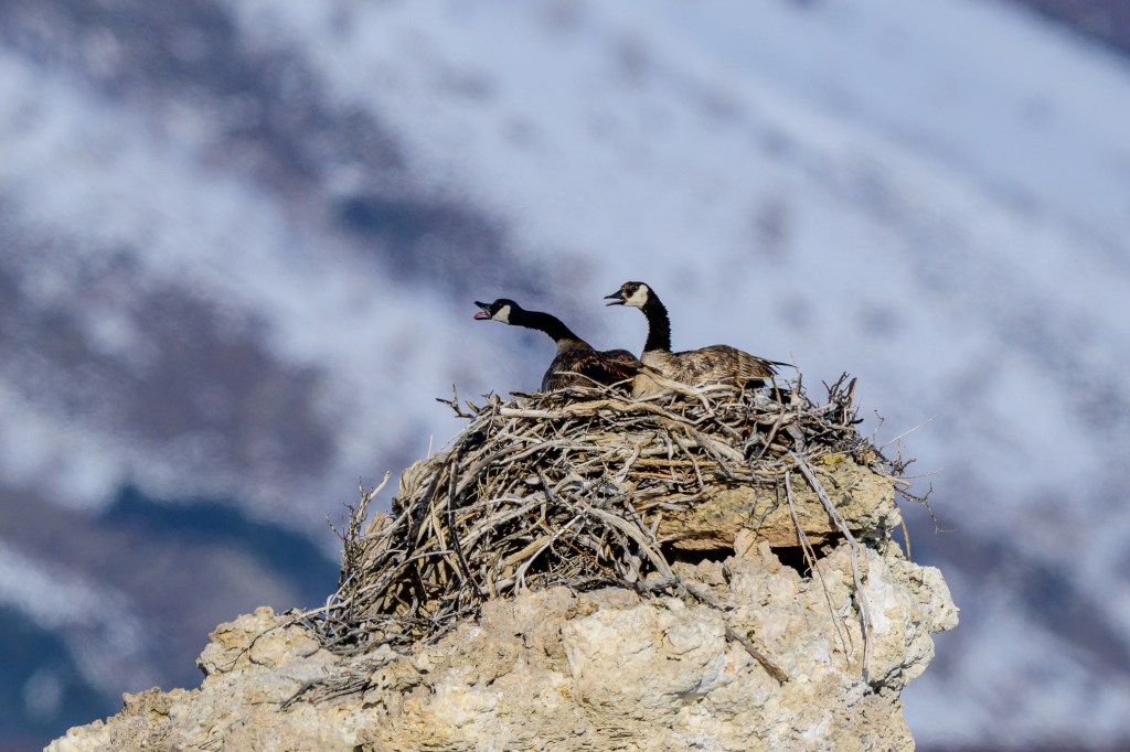
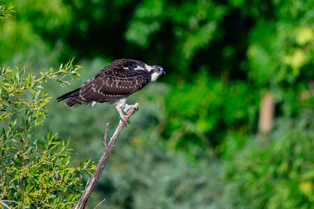
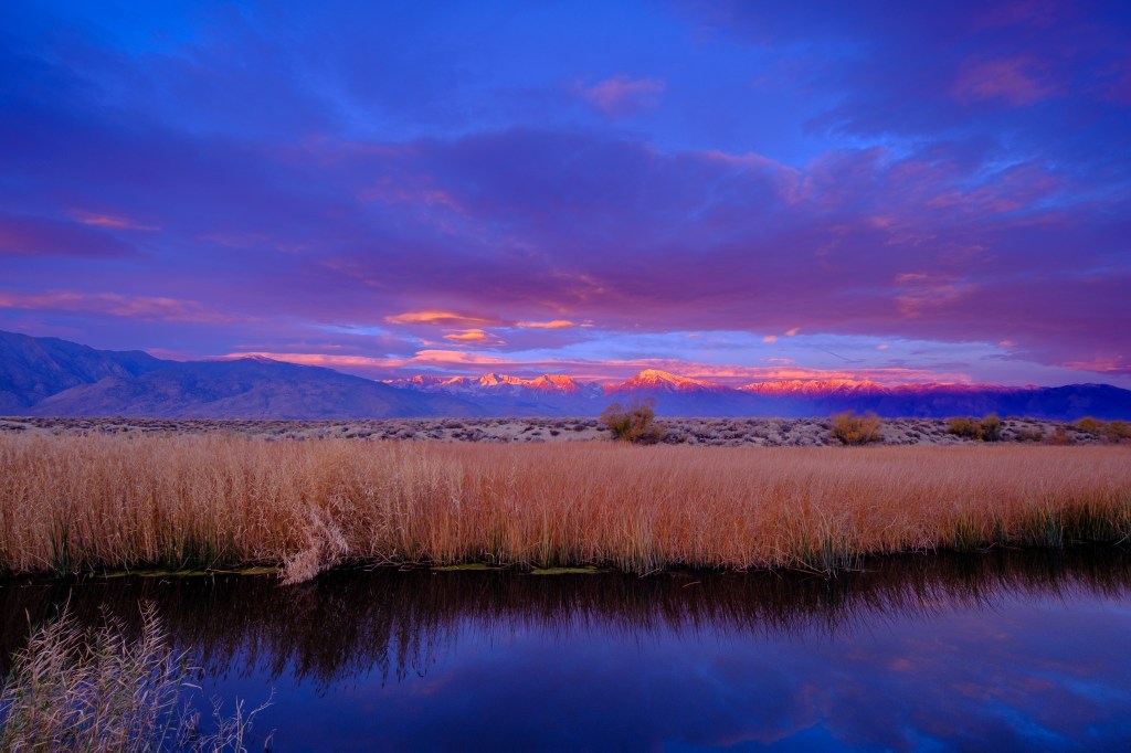
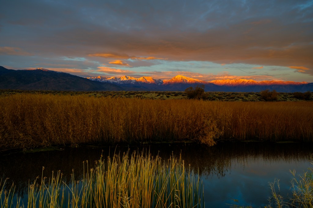
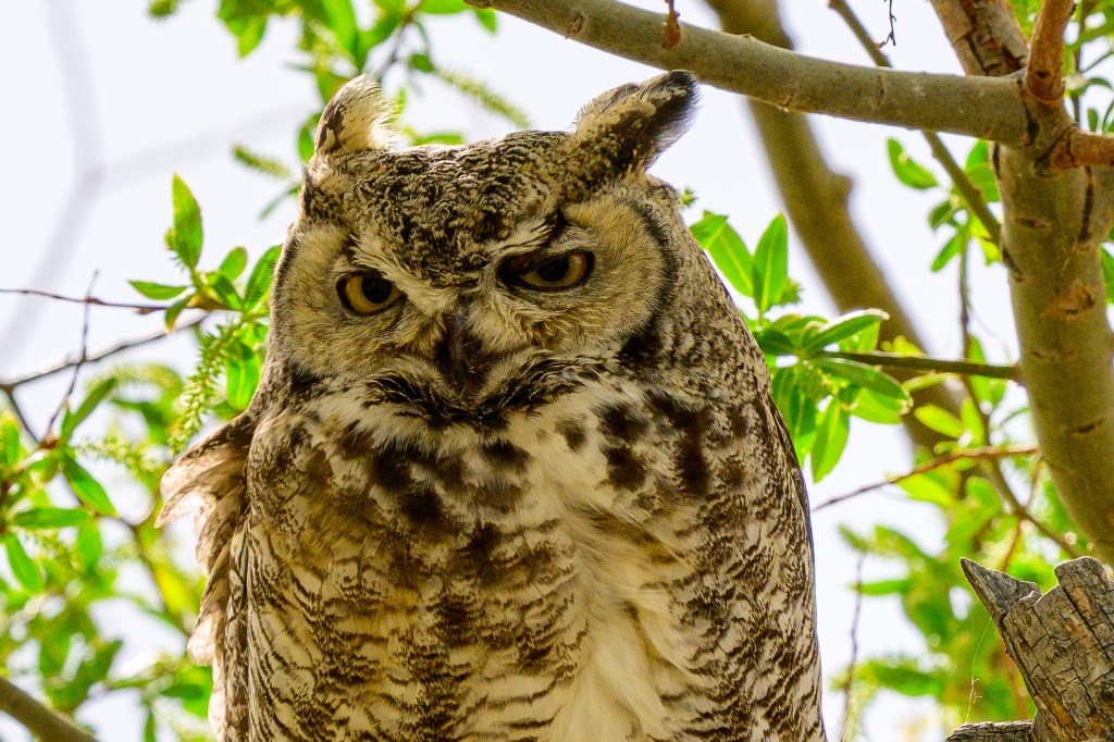
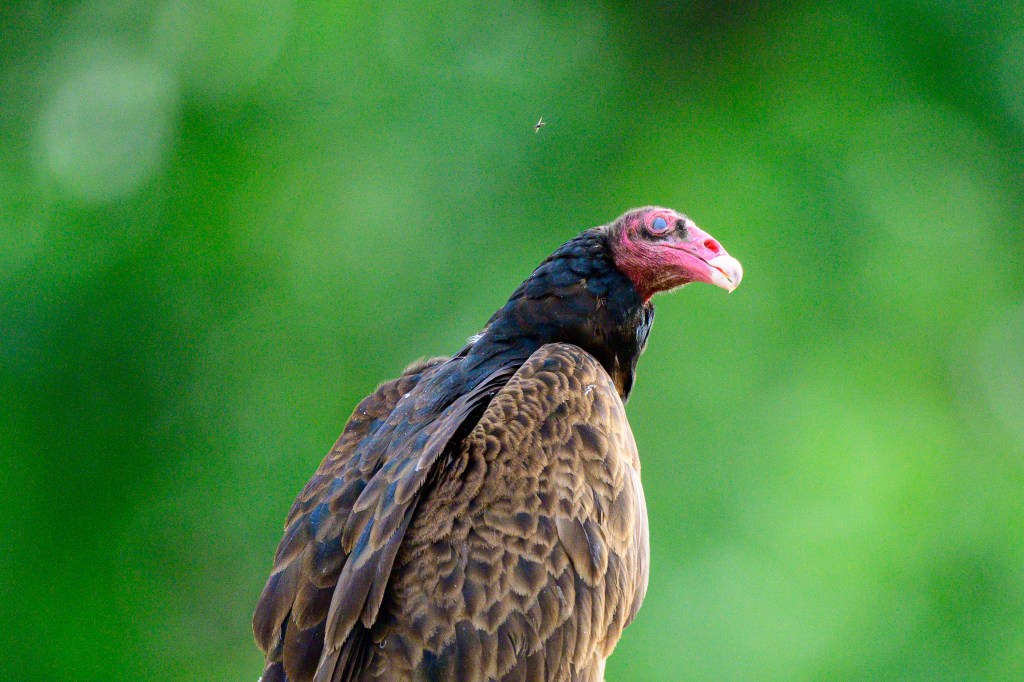
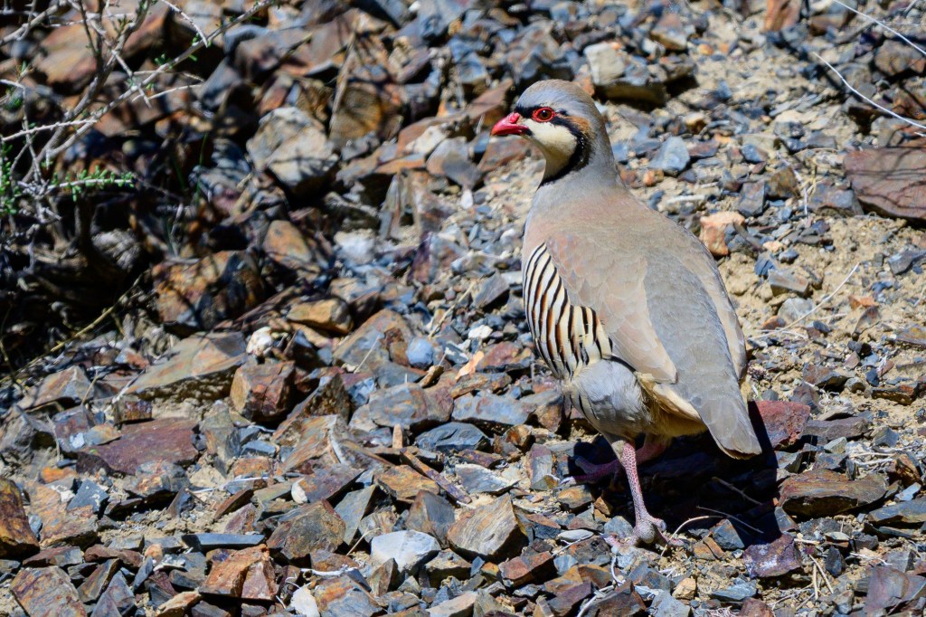
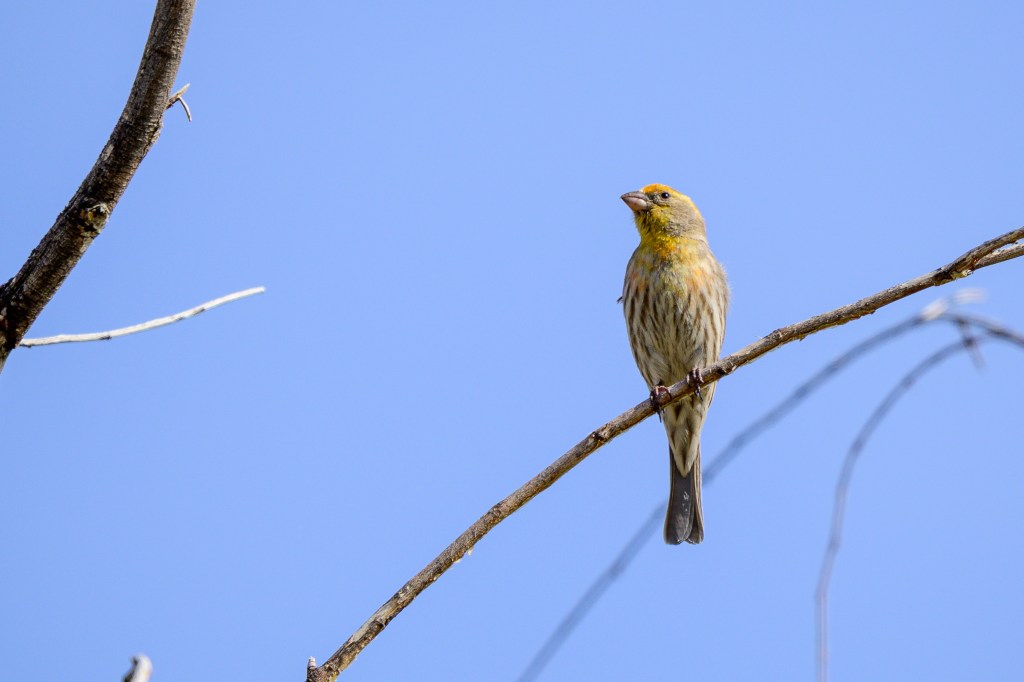
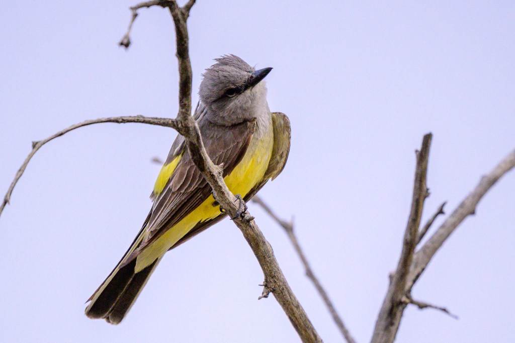
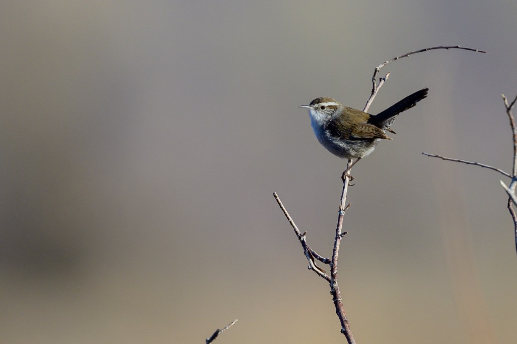
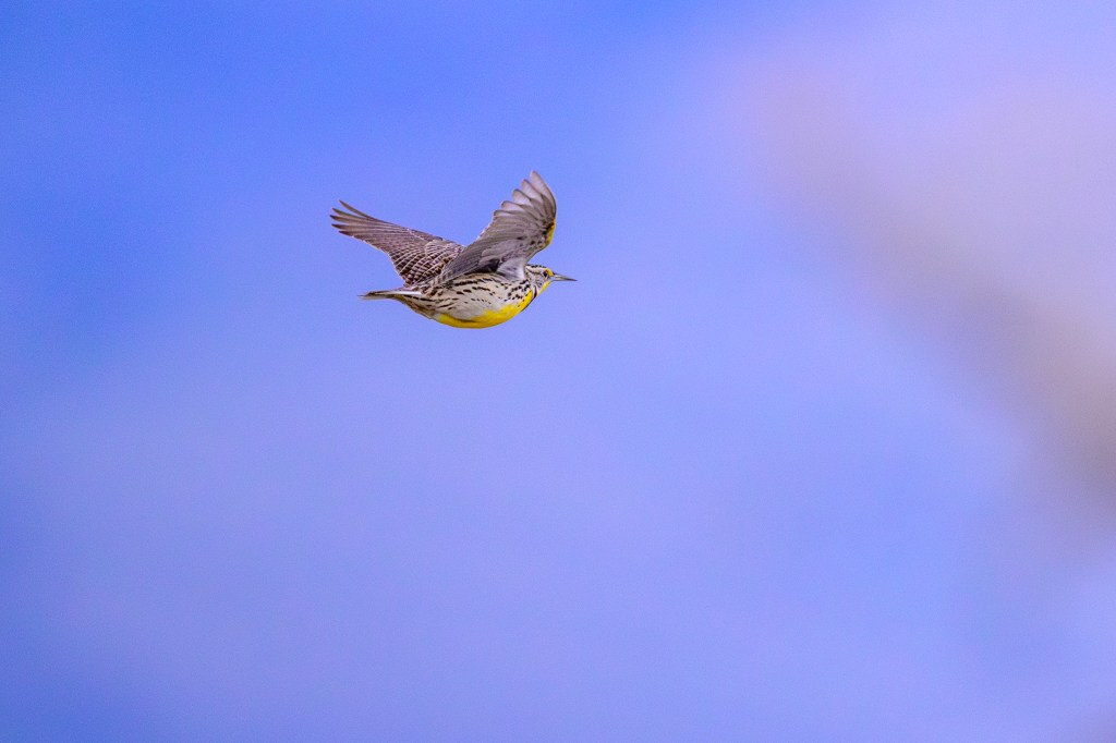
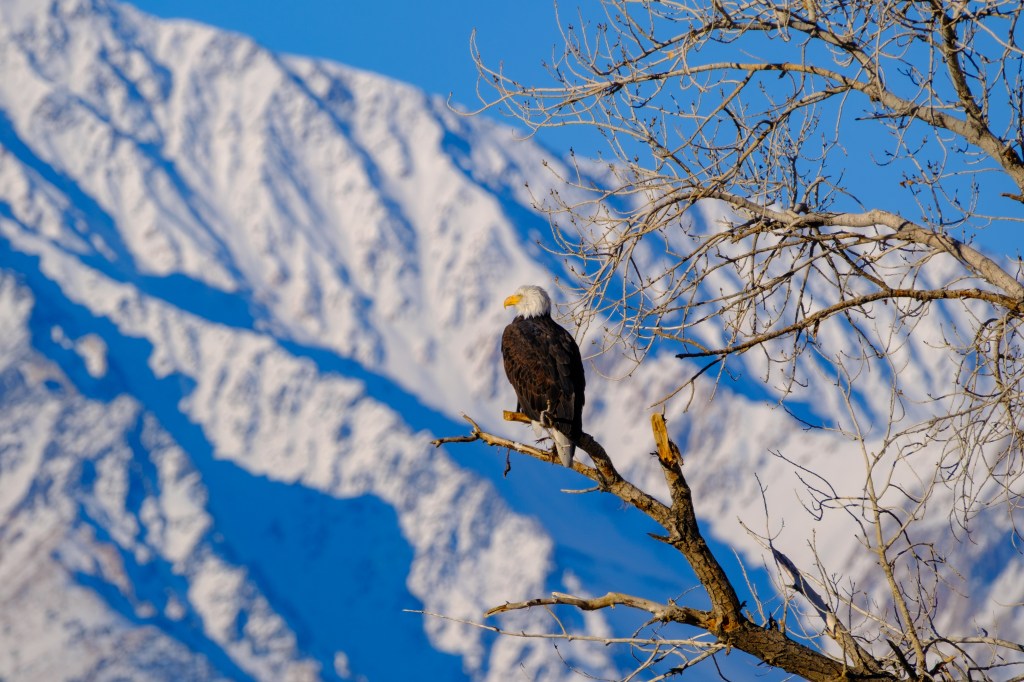
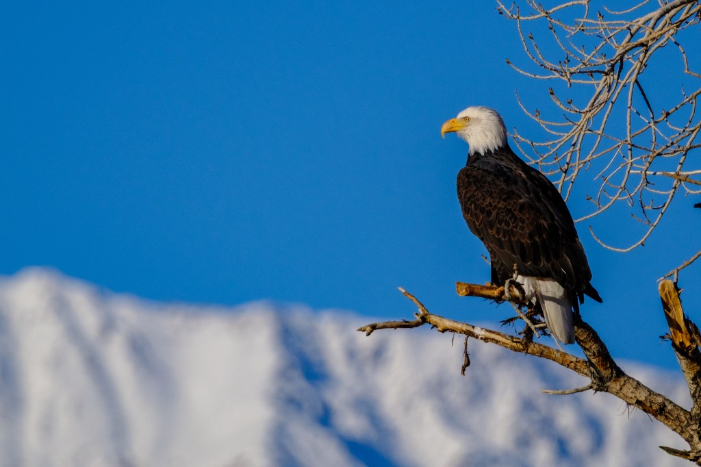
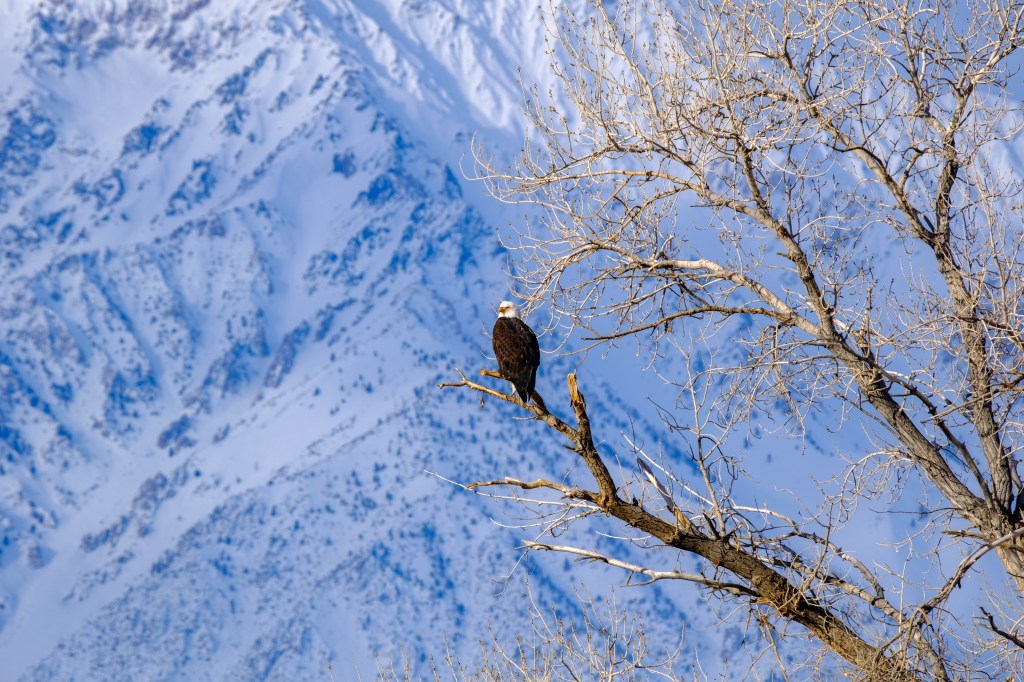
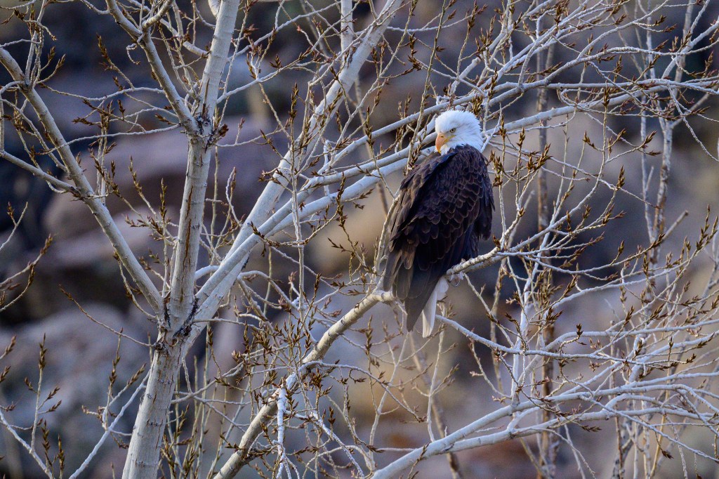
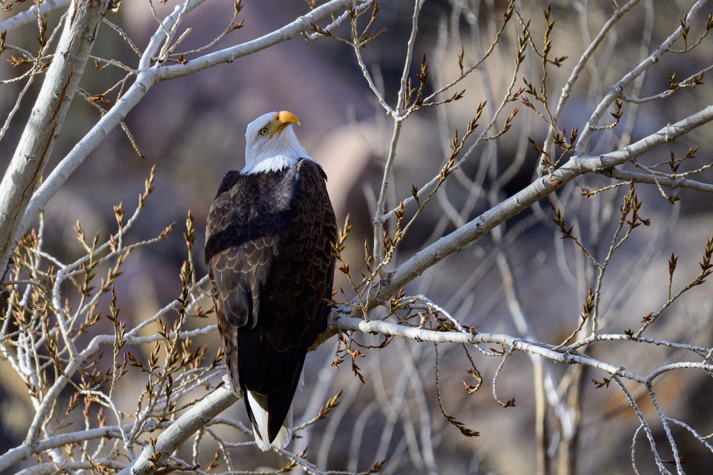
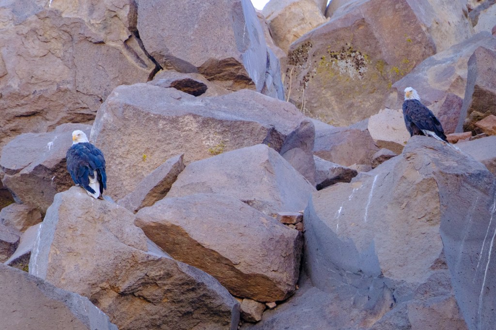
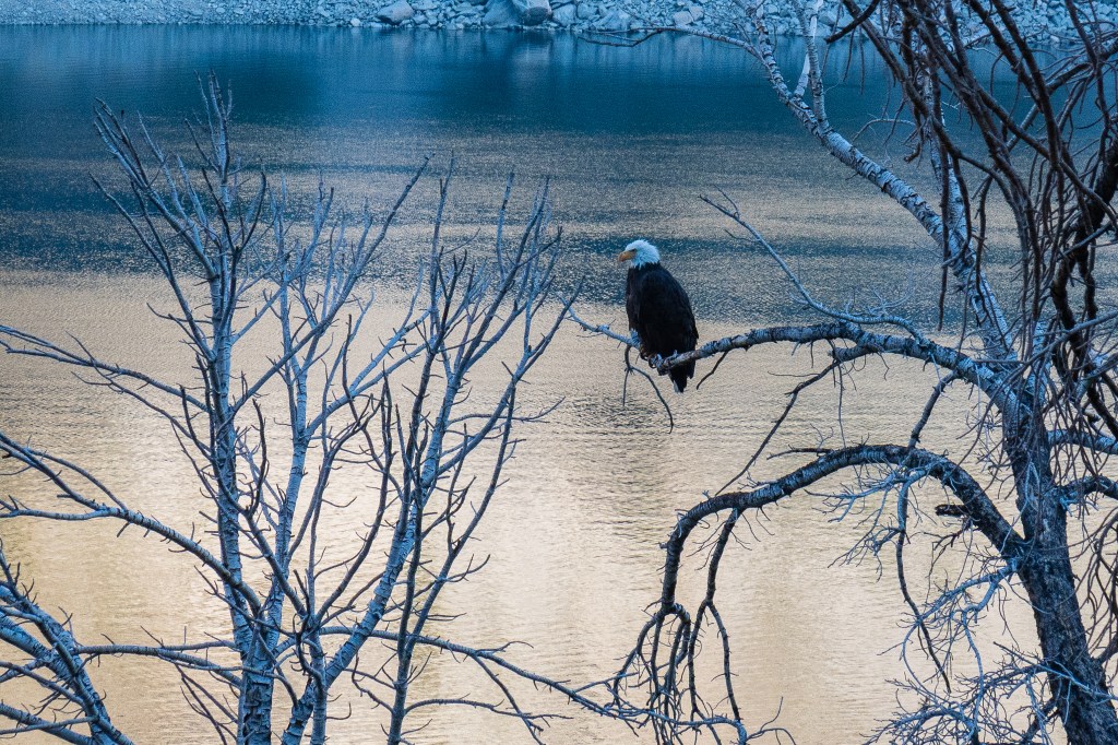
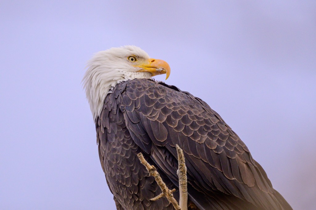
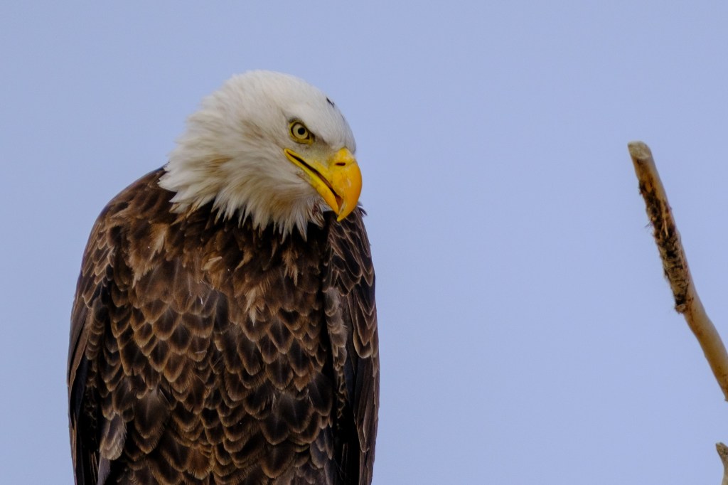
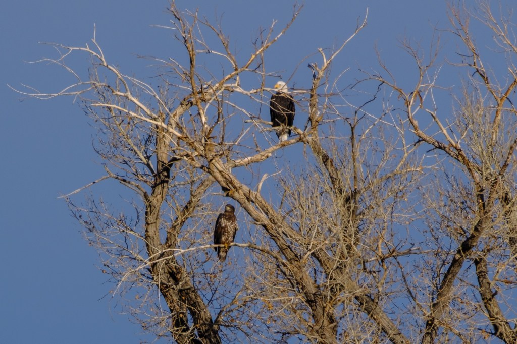
In February 2025 I posted a blog about coastal birds near Fort Bragg, on California’s north coast. This new blog shows birds from a recent (Oct, 2025) Fort Bragg trip, plus a trip this winter (Jan, 2026) to the Bolsa Chica Ecological Reserve in Huntington Beach, south of Los Angeles.
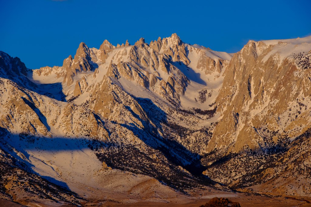
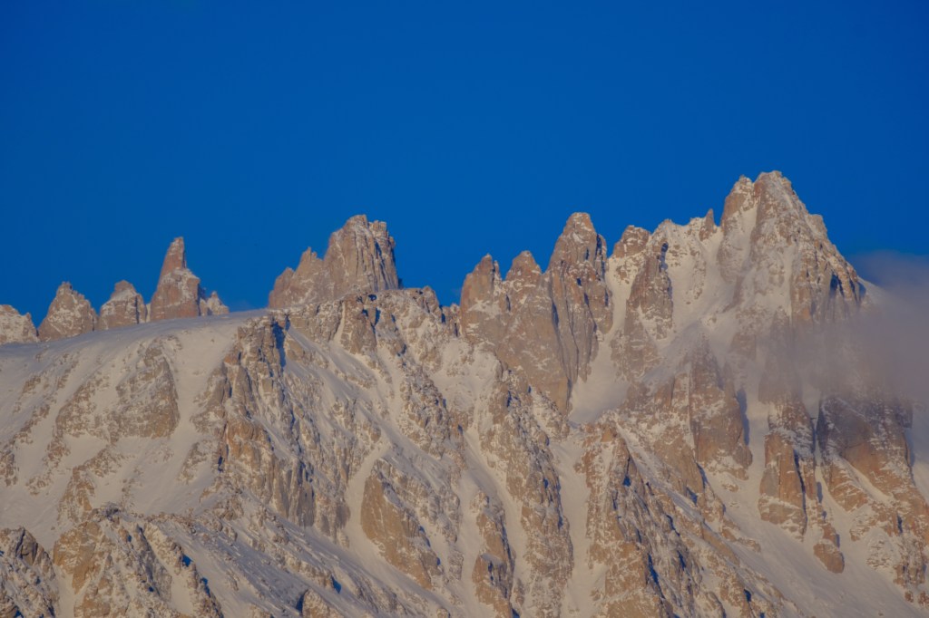
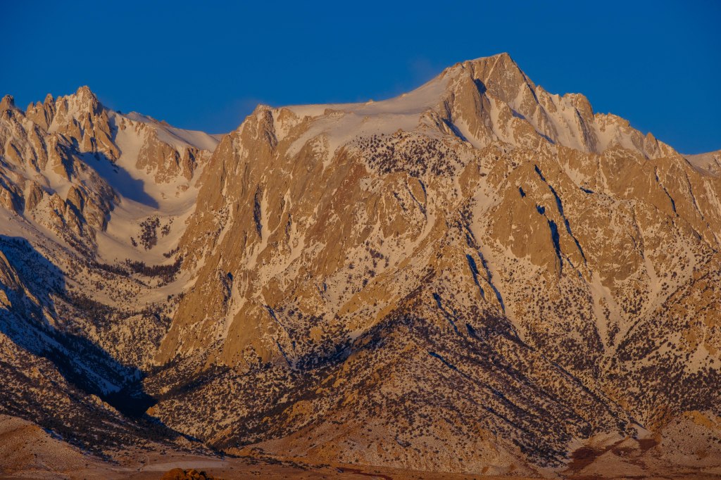
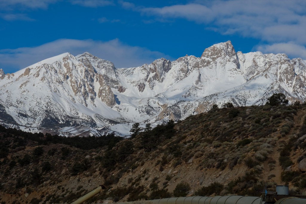
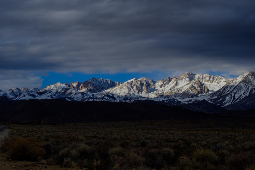
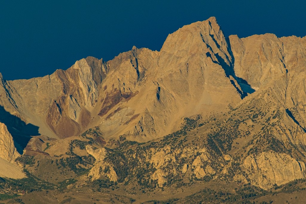
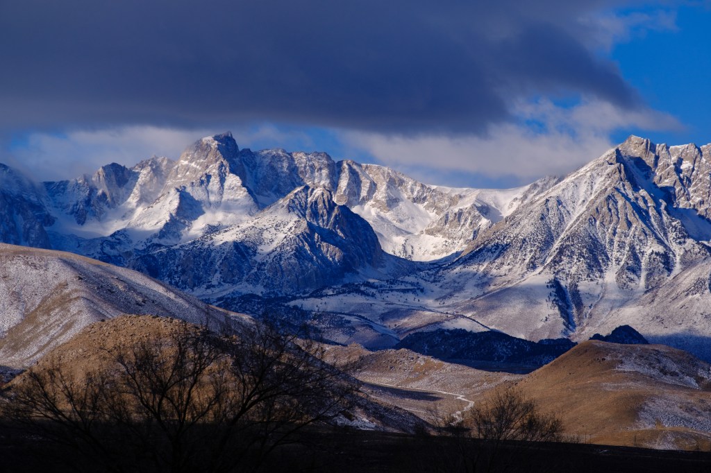
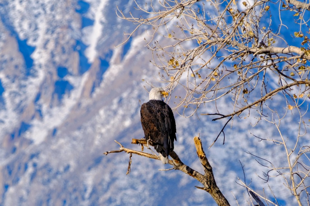
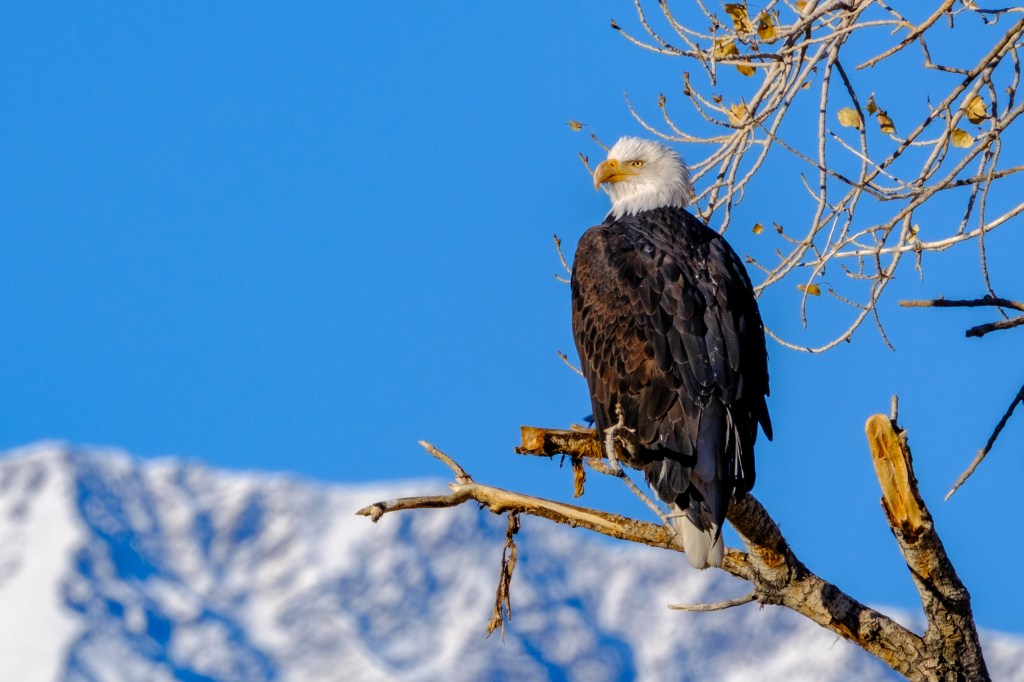
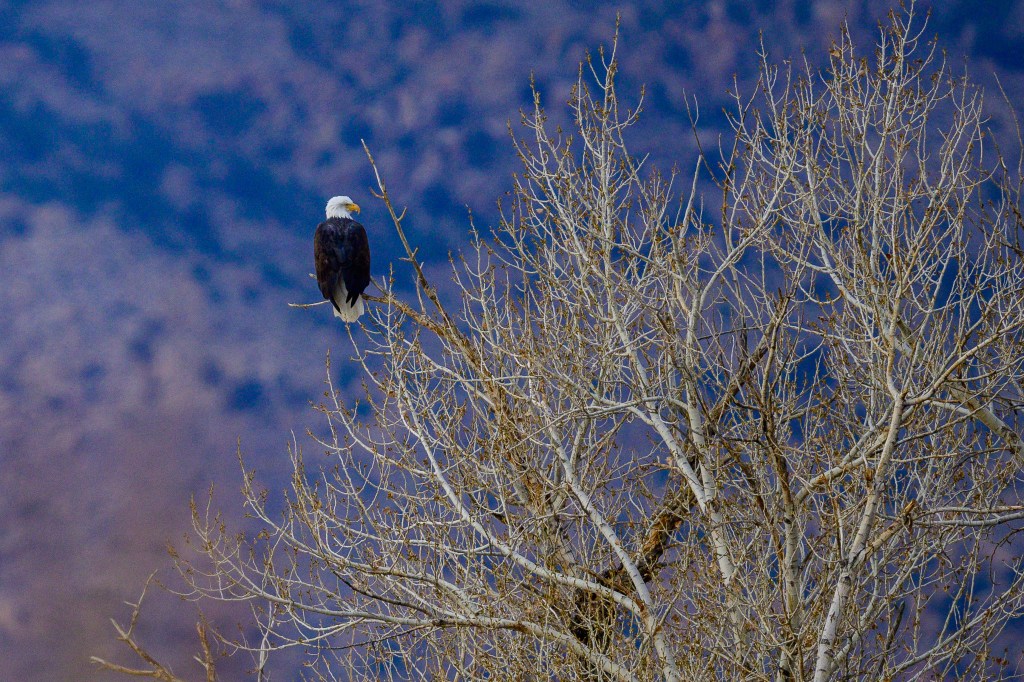
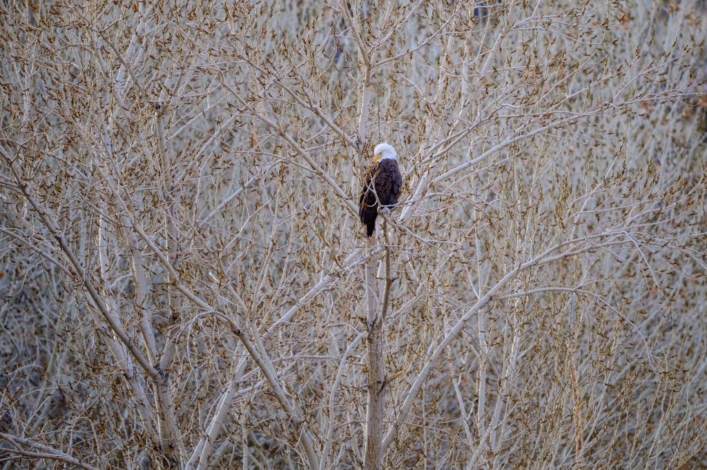
Mendocino
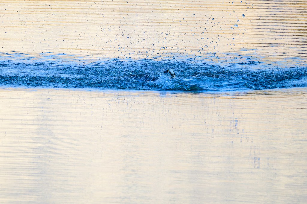
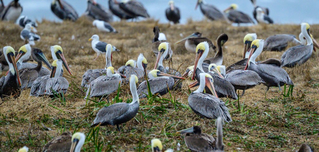
Brown Pelicans
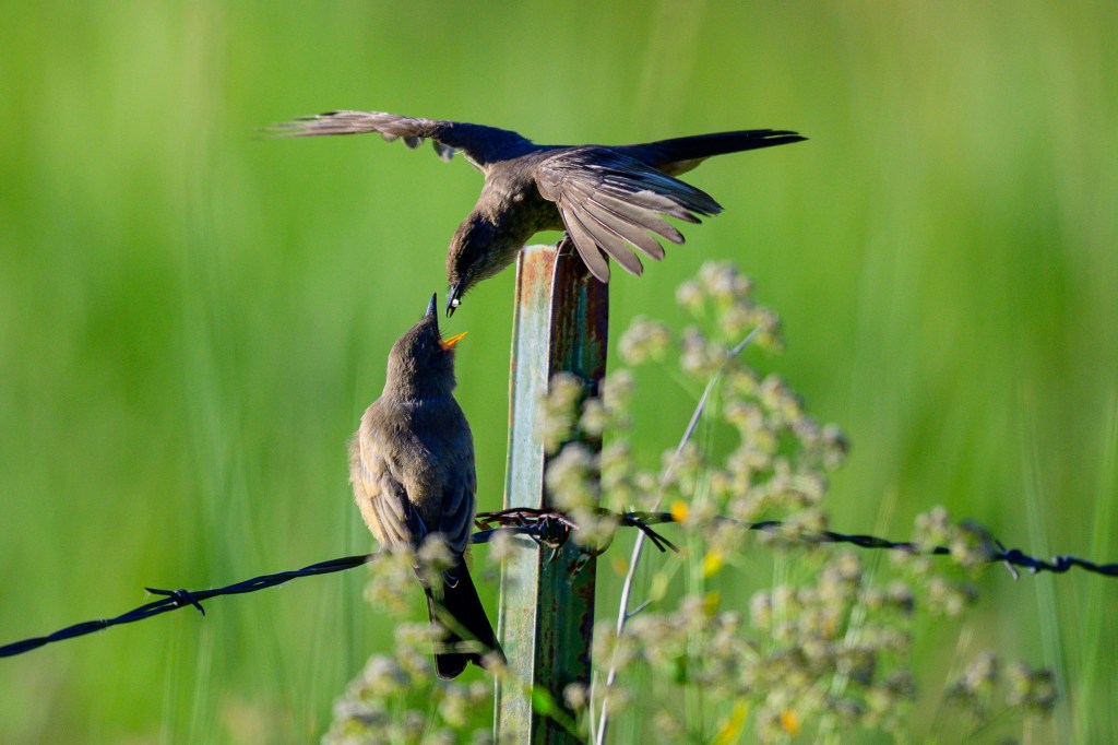
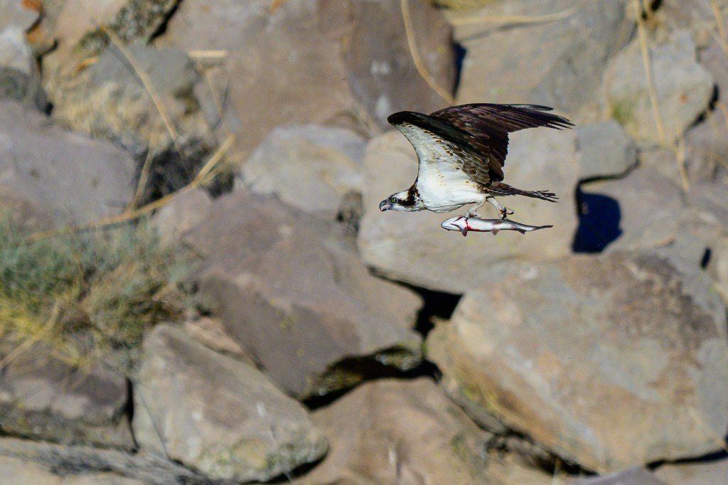
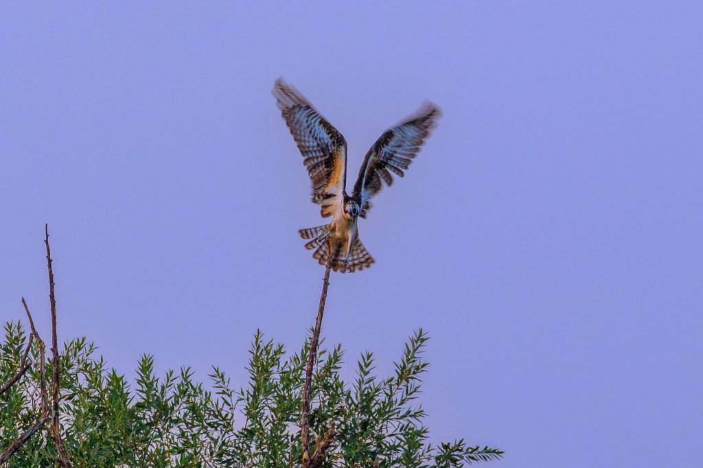
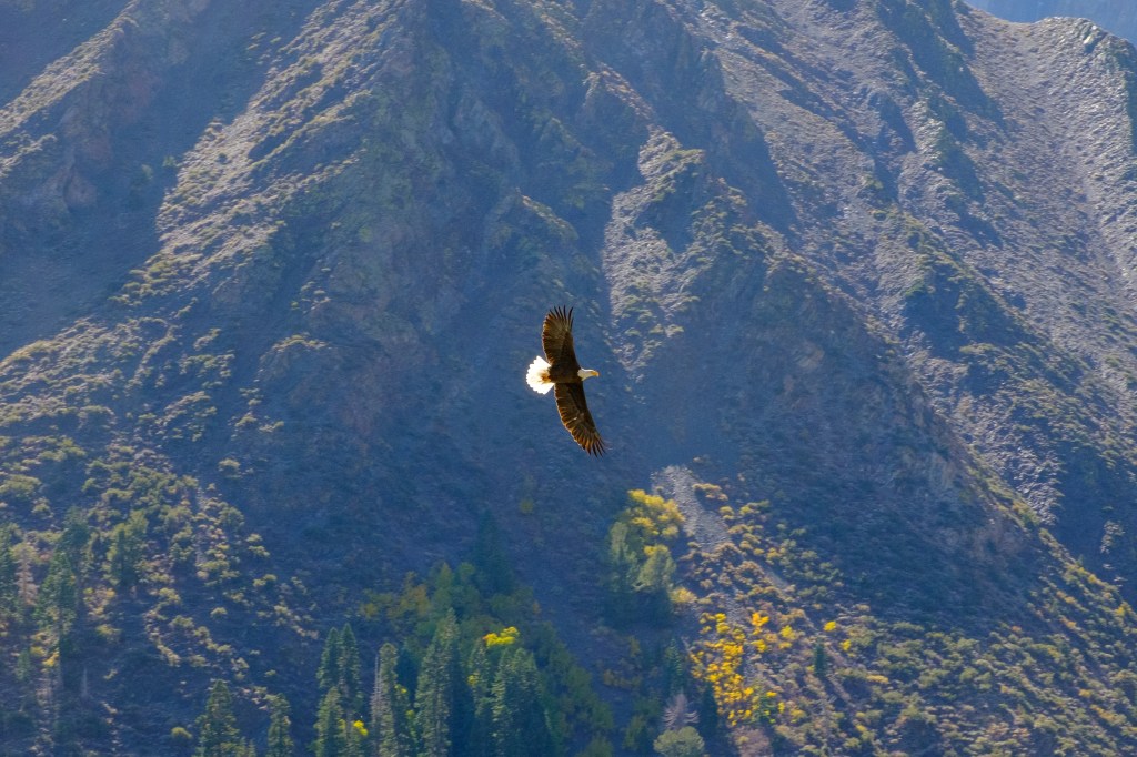
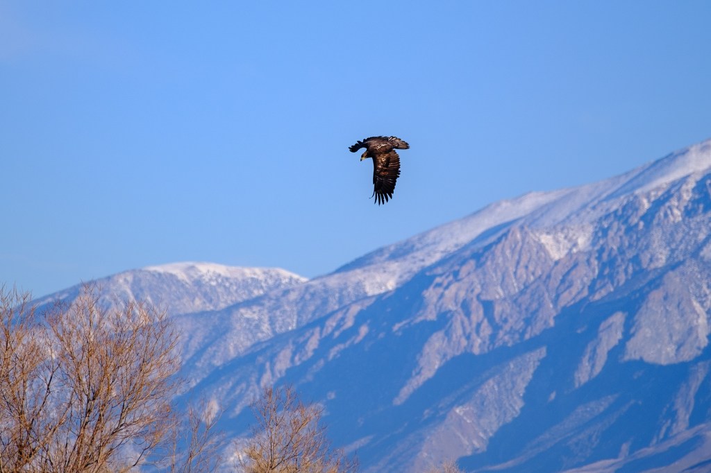
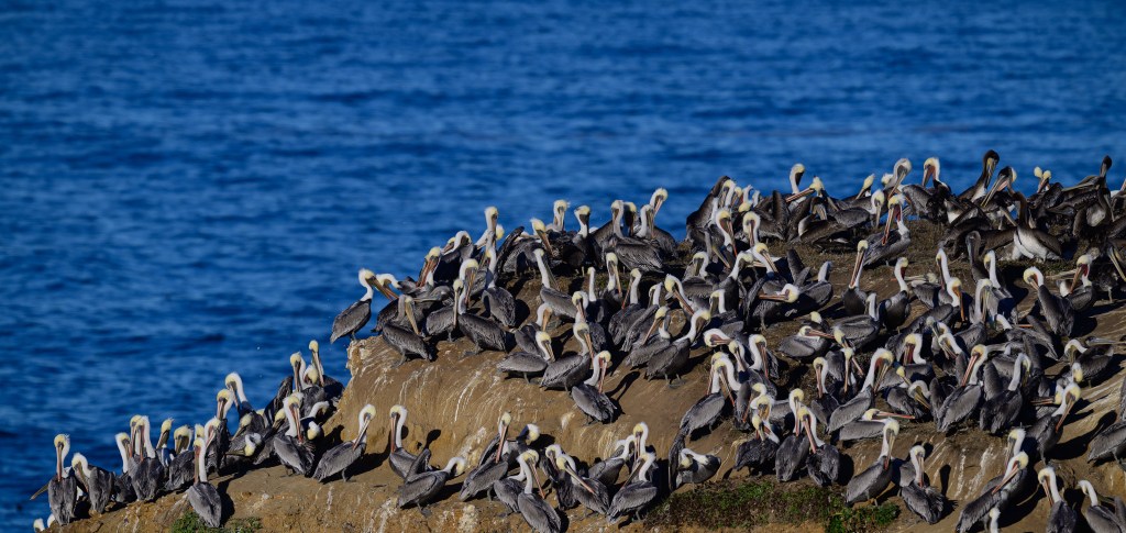
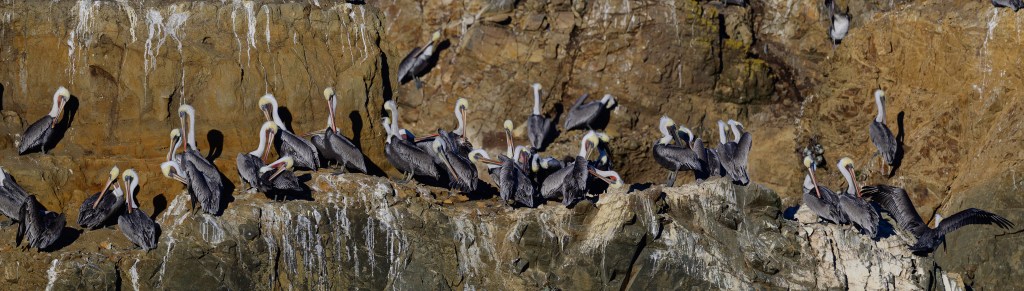
Mendocino is a small town a few miles south of Fort Bragg. In October 2025 Roberta and I parked at the Mendocino Headlands State Park. Walking paths on the bluffs are 100 feet above the ocean. Tall rock towers are a short distance offshore. A thousand Brown Pelicans were roosting on these towers. I set my camera on a tripod and took over 2000 pictures.
Brown Pelicans hatch their young on secluded islands off of southern California (Anacapa and Santa Barbara) and Baja. In early summer they move north to feed on fish. After October they head back south. These birds stick to the coast; there are only three records of a Brown Pelican in Inyo County.
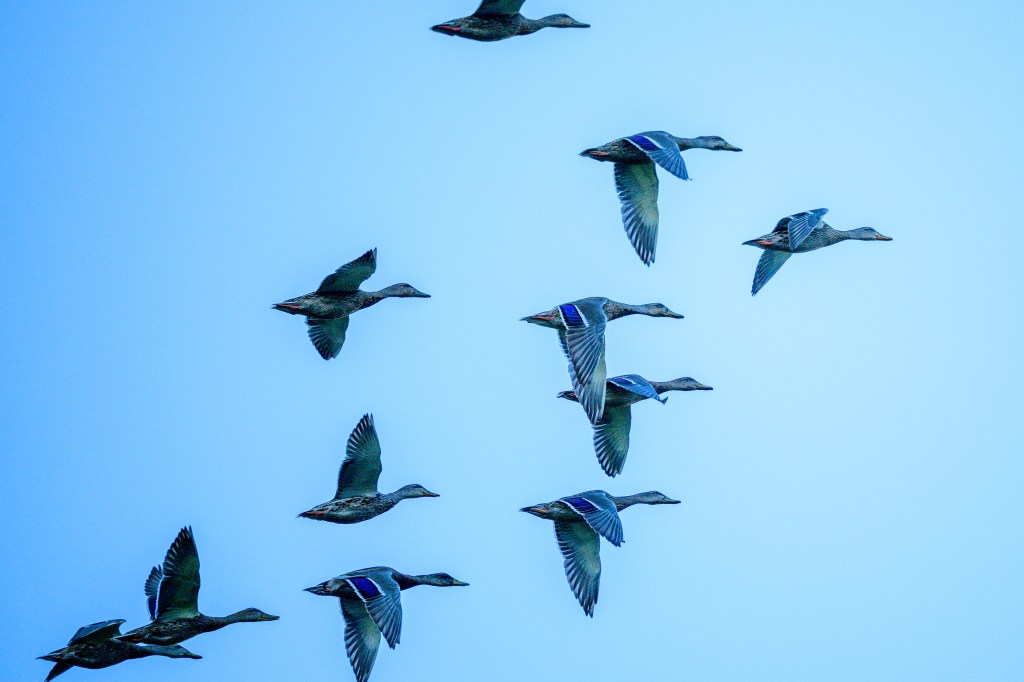
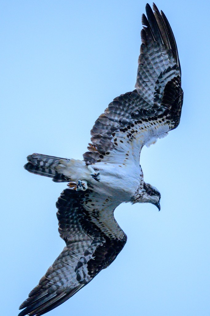
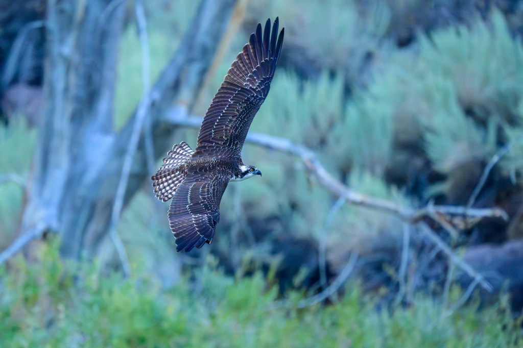
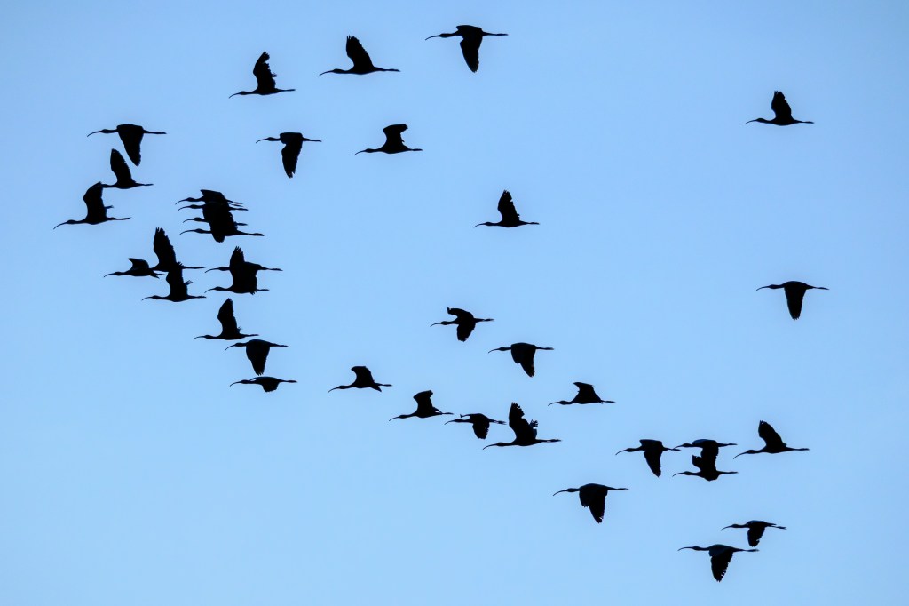
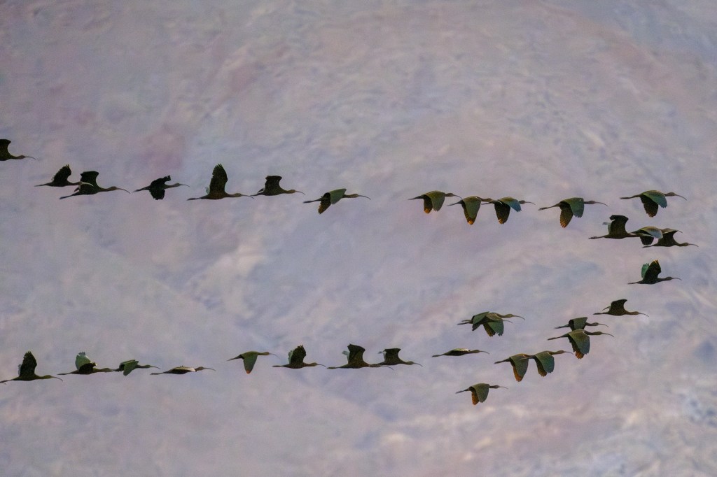
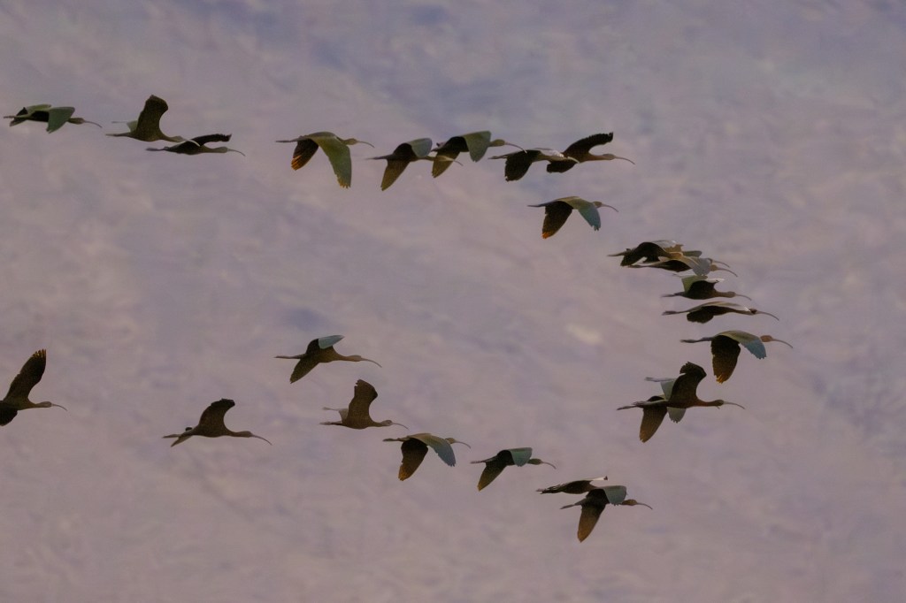
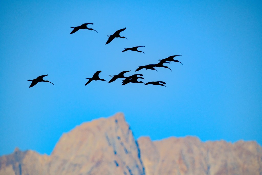
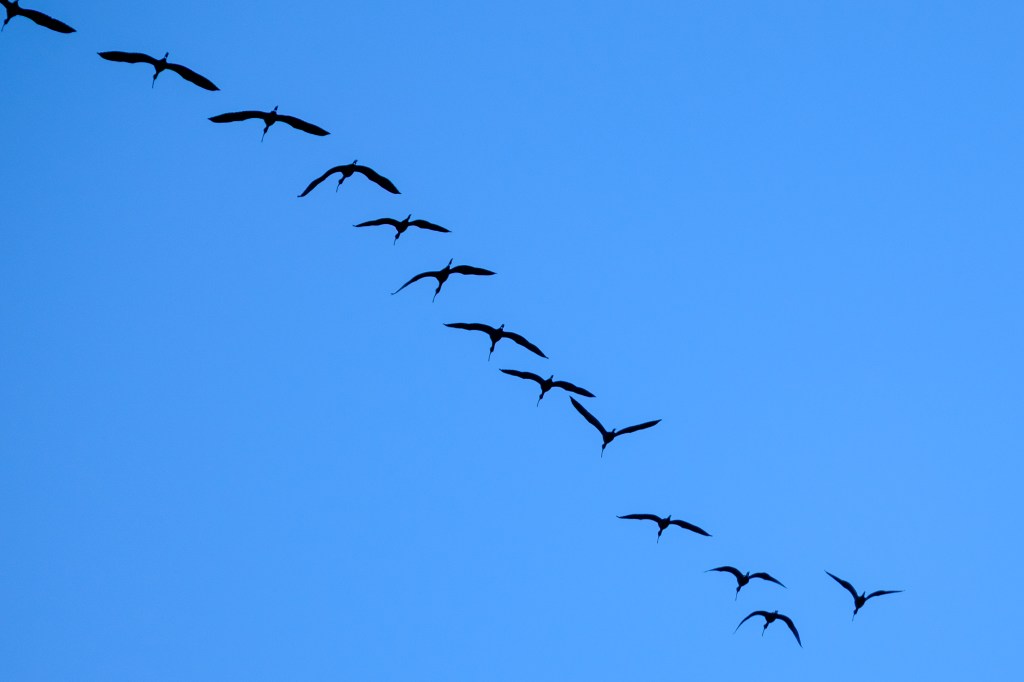
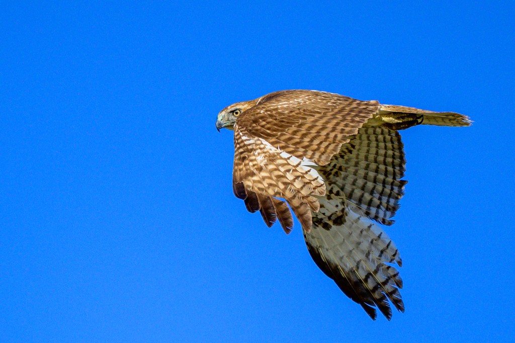
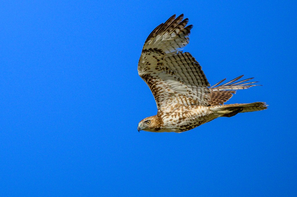
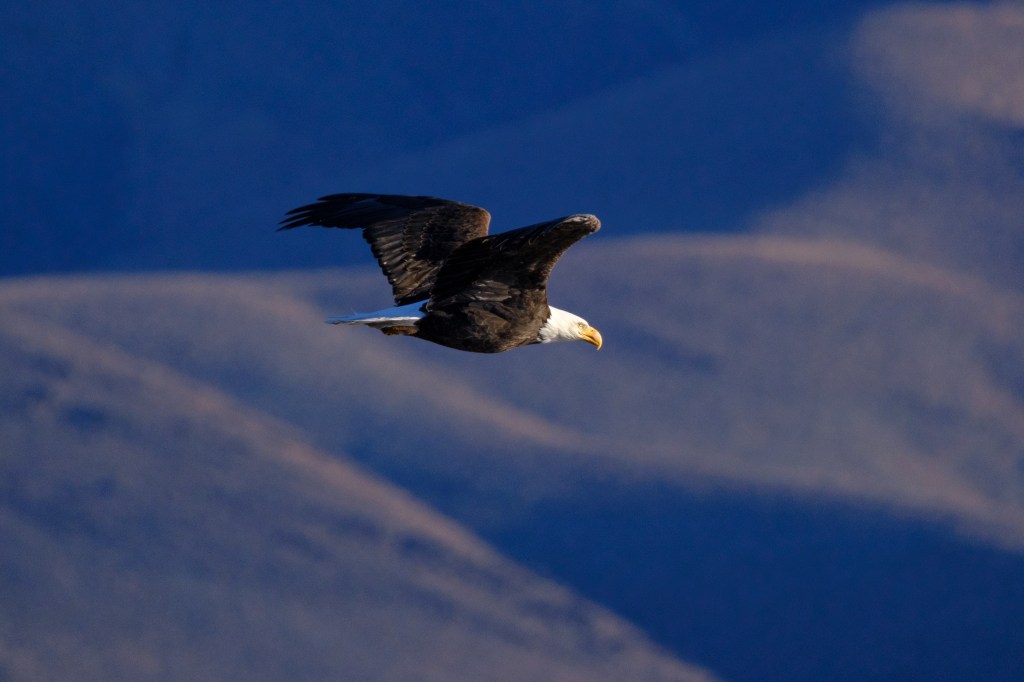
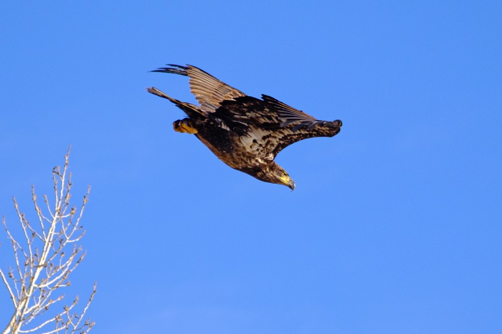
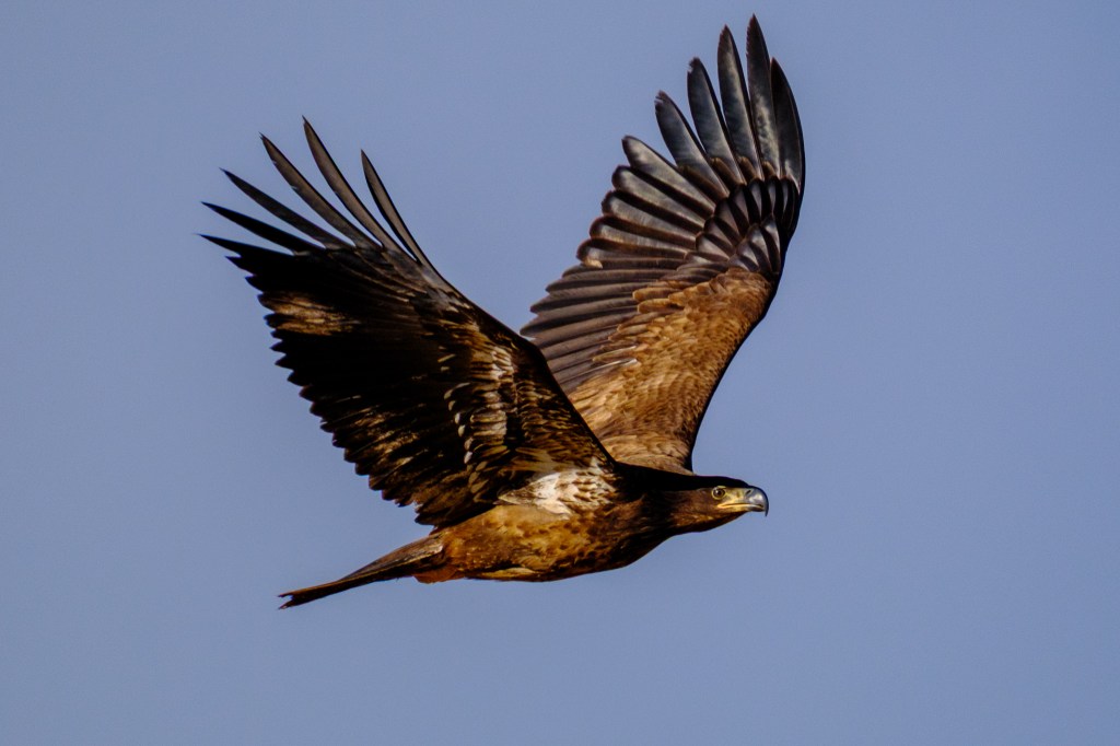
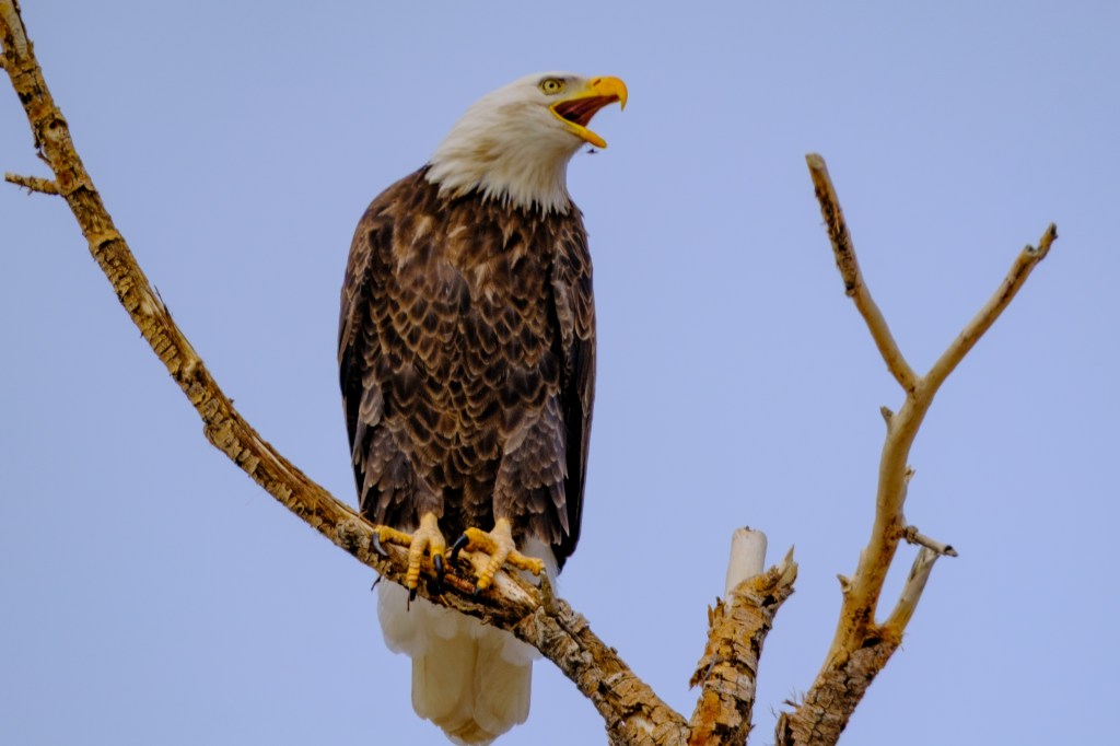
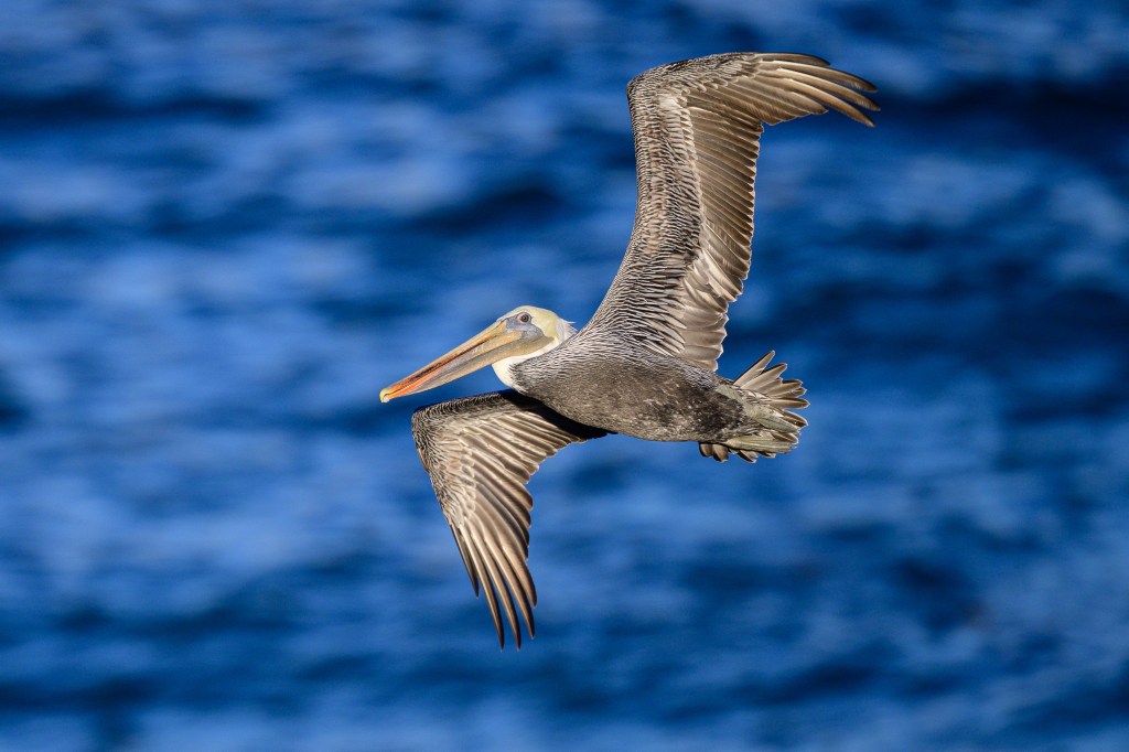
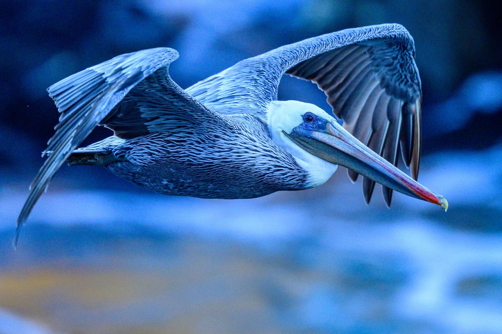
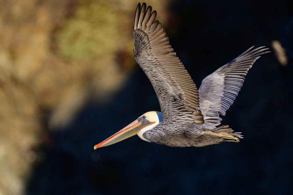
A Brown Pelican weighs 8 pounds and has a wingspan of 6.5 feet. Young birds are, well… brown. By age 3 years they have white heads, a yellow forehead, the bodies are a mix of grey and white, and the bills are partly red. They are lovely in the air, flying in lines of 5 to 25 birds, often skimming just above the waves.
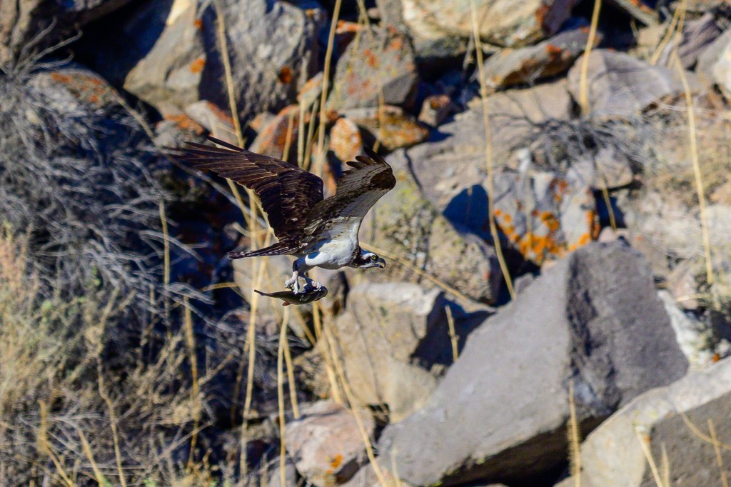
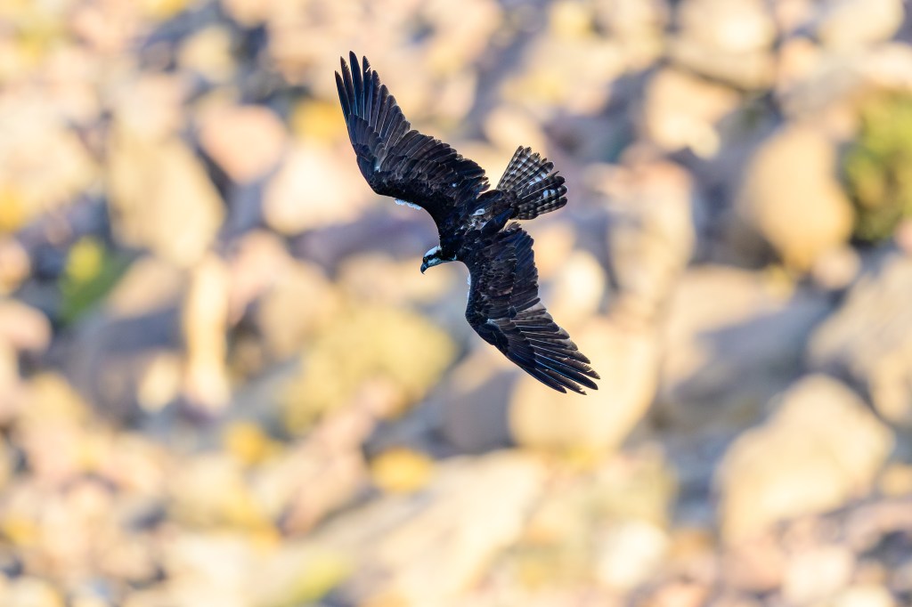
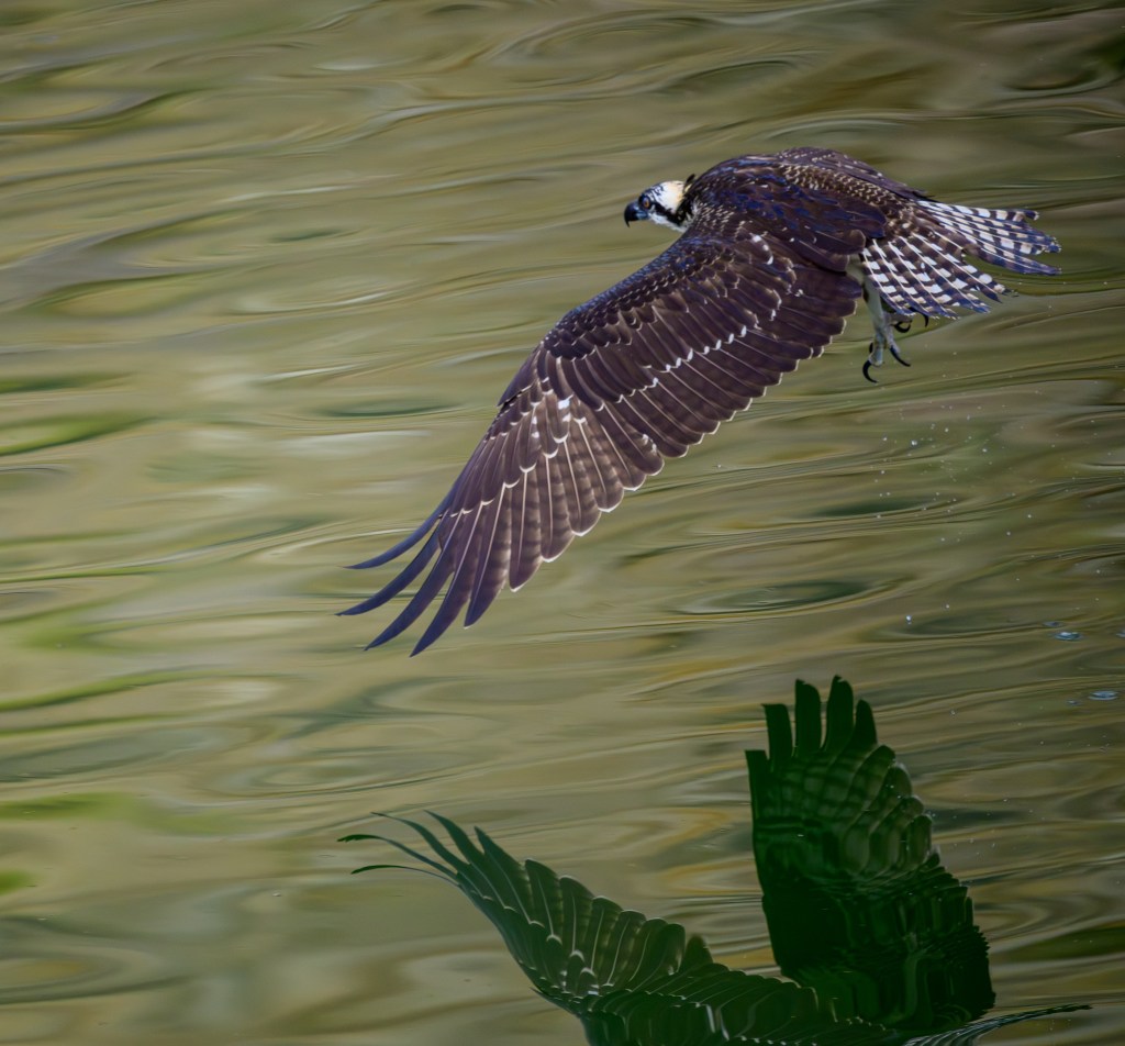
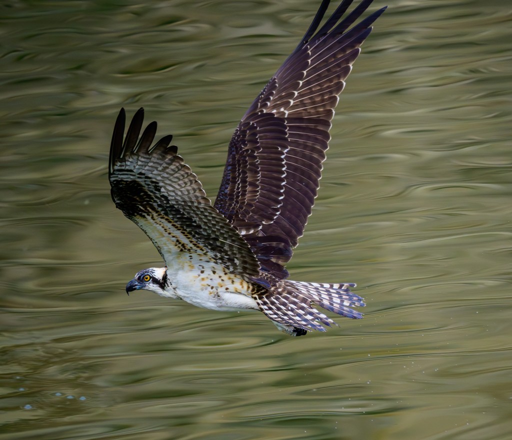
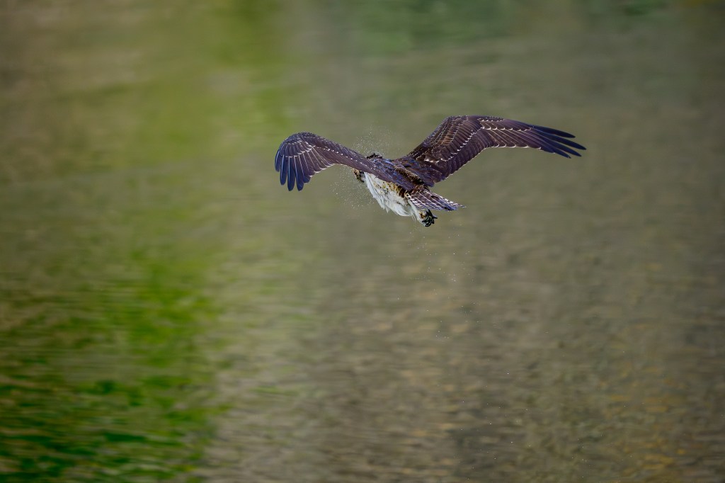
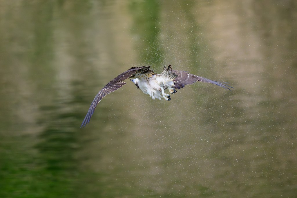
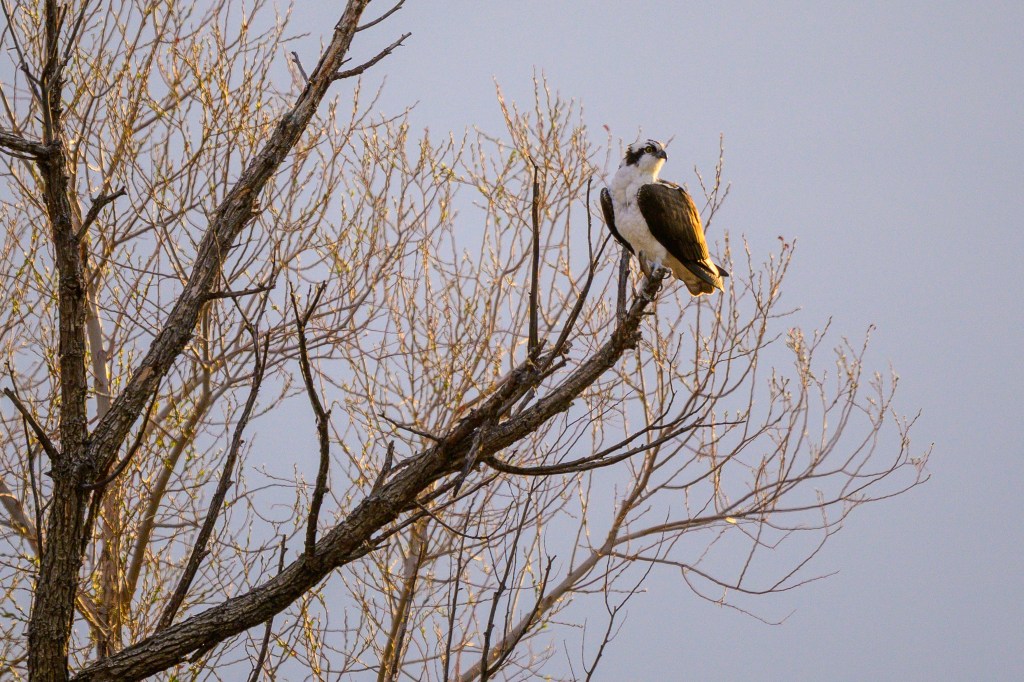
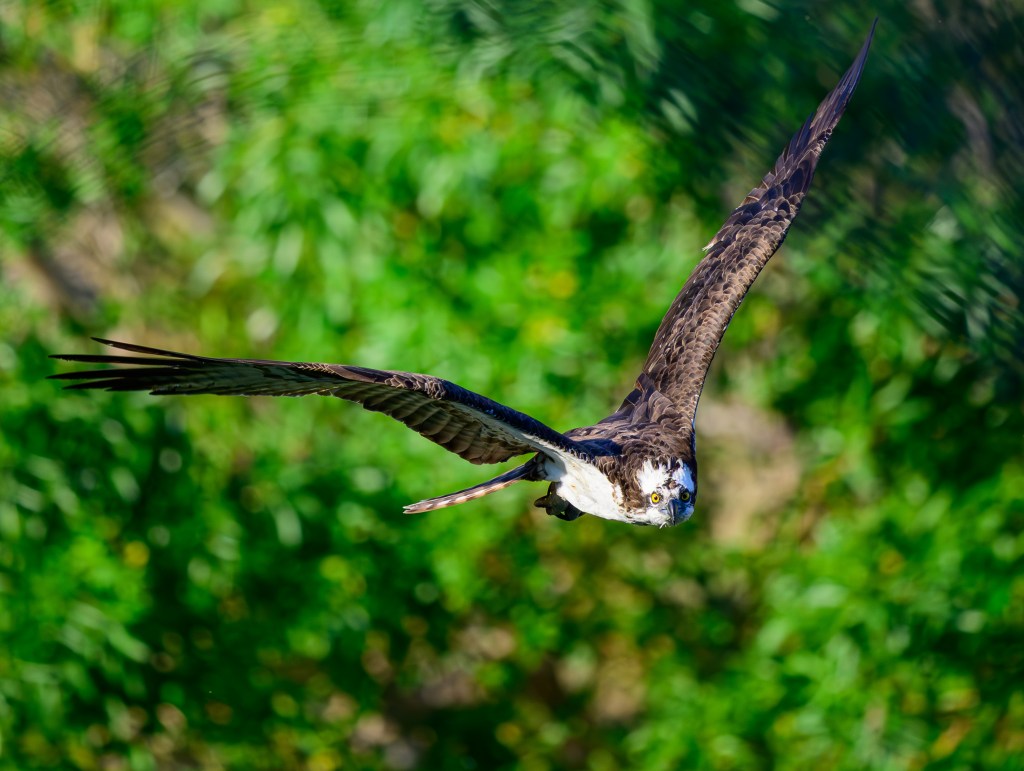
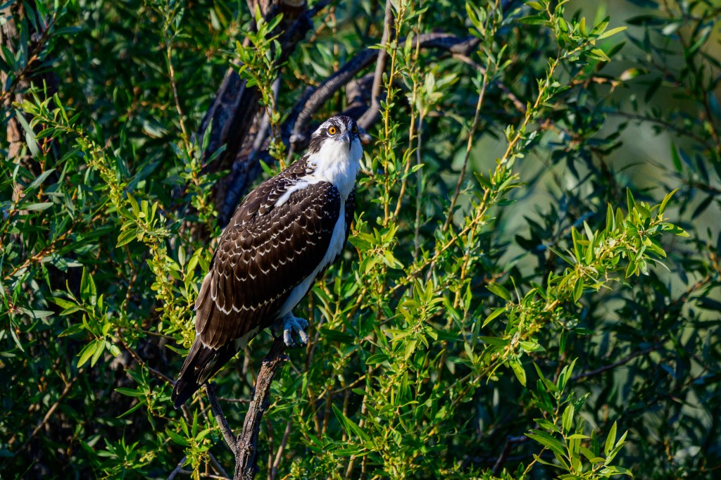
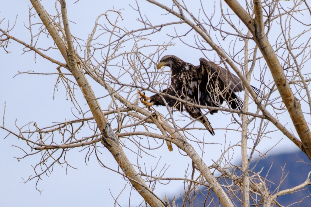
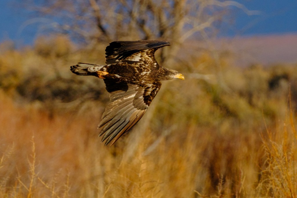
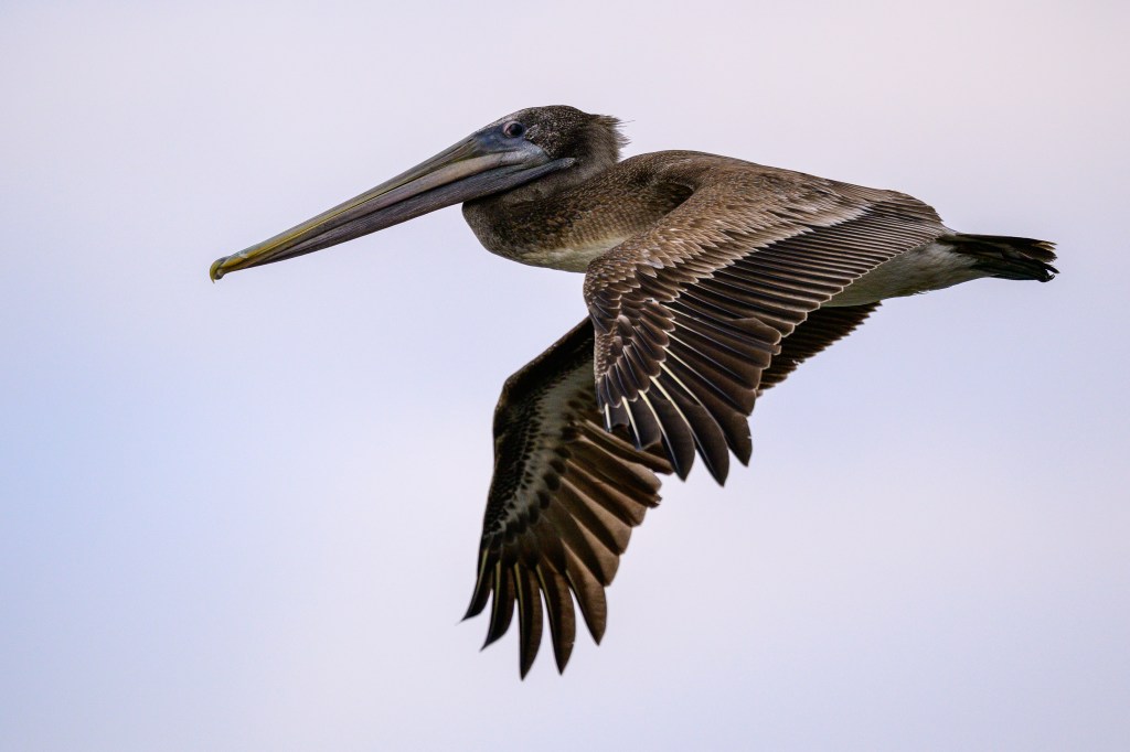
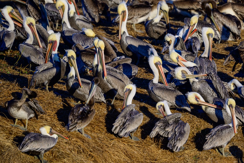
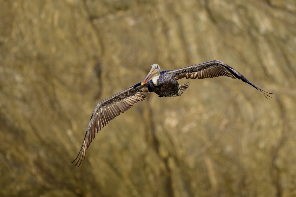
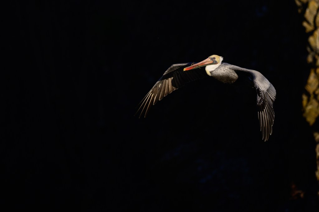
Below is a Brown Pelican; this all-brown bird is a juvenile, about one year old.
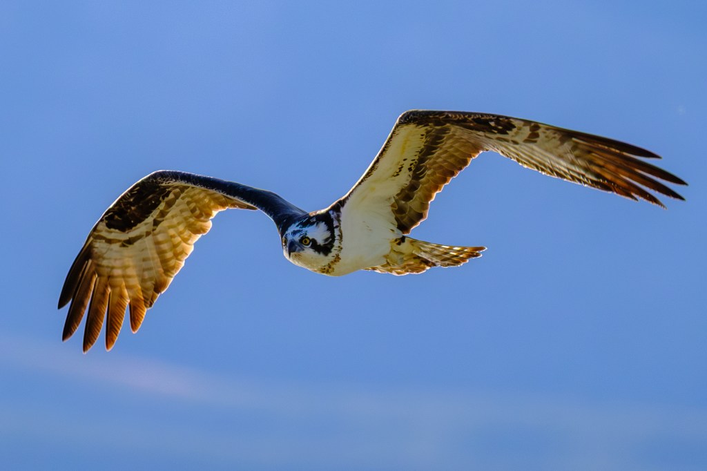
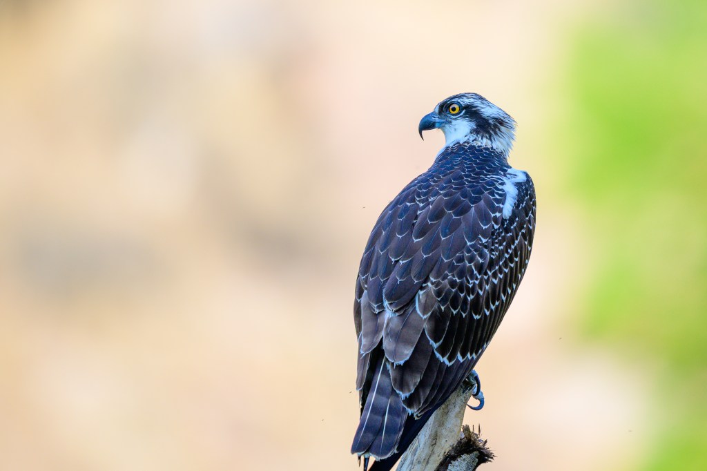
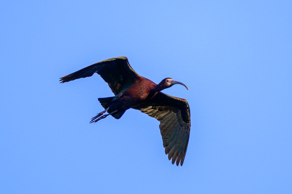
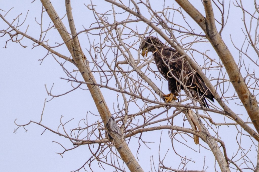
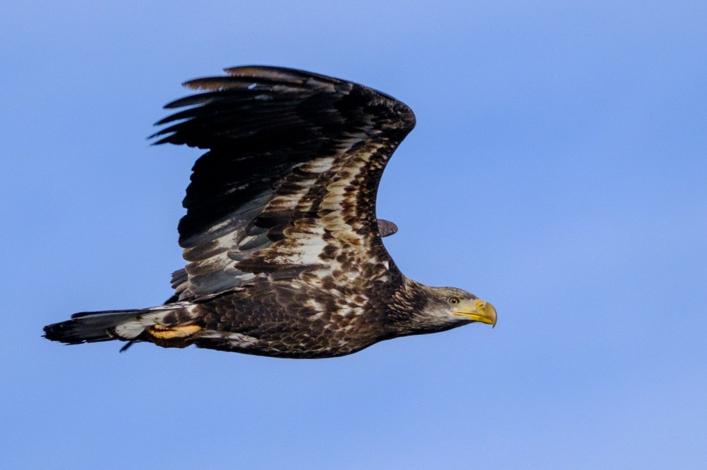
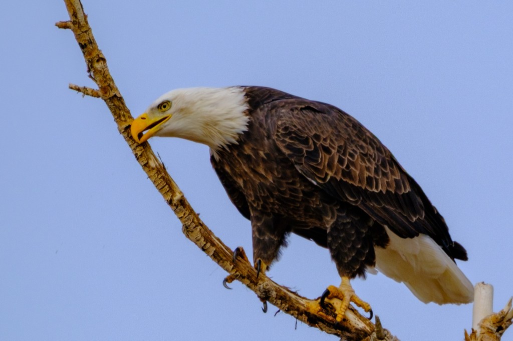
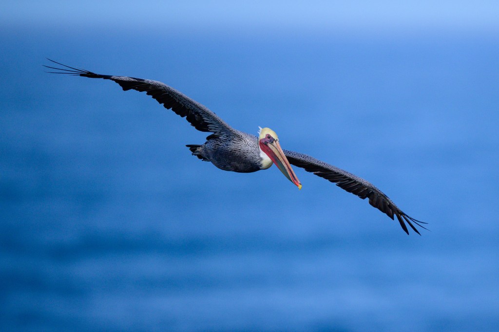
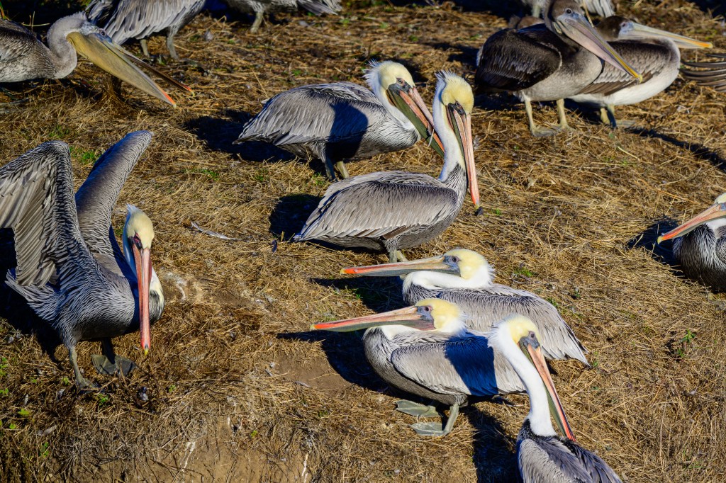
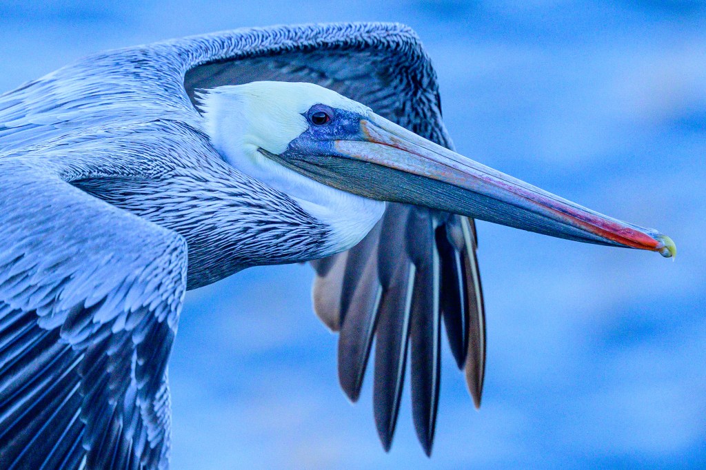
The next photo shows an adult, with a white/yellow head, partly red bill, and body of grey and white streaks. A few birds, including this one, had a lot of red color in their bill pouch, which is part of their breeding outfit. They will soon move south to nest.
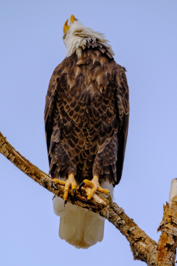
On land, the Pelicans preen their feathers frequently, to get them into shape for flying and swimming. As the morning went on, the birds took off in small groups to find fish.
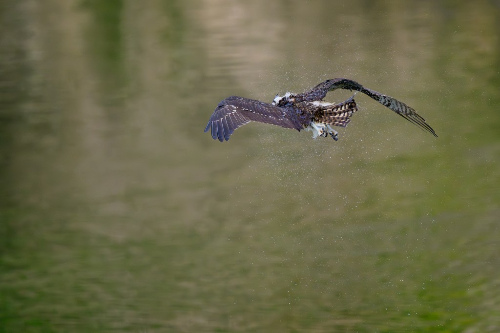
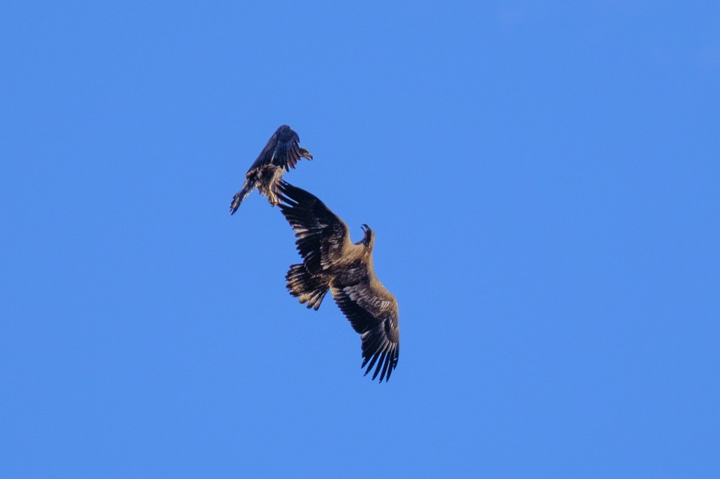
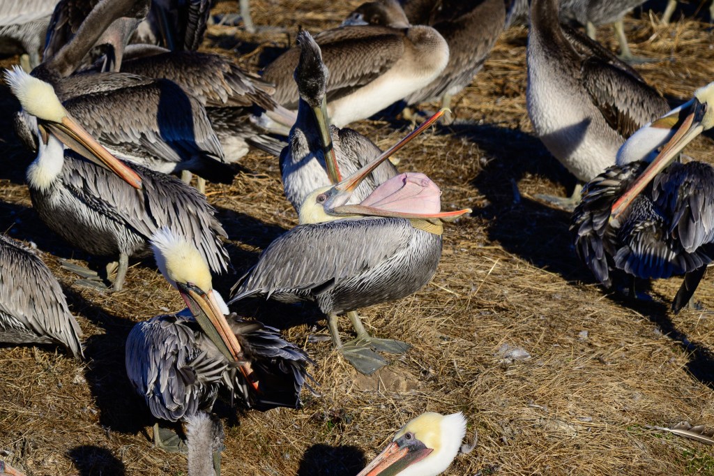
In the next photo, a bird near the center has turned its lower bill pouch inside-out. Bad table manners.
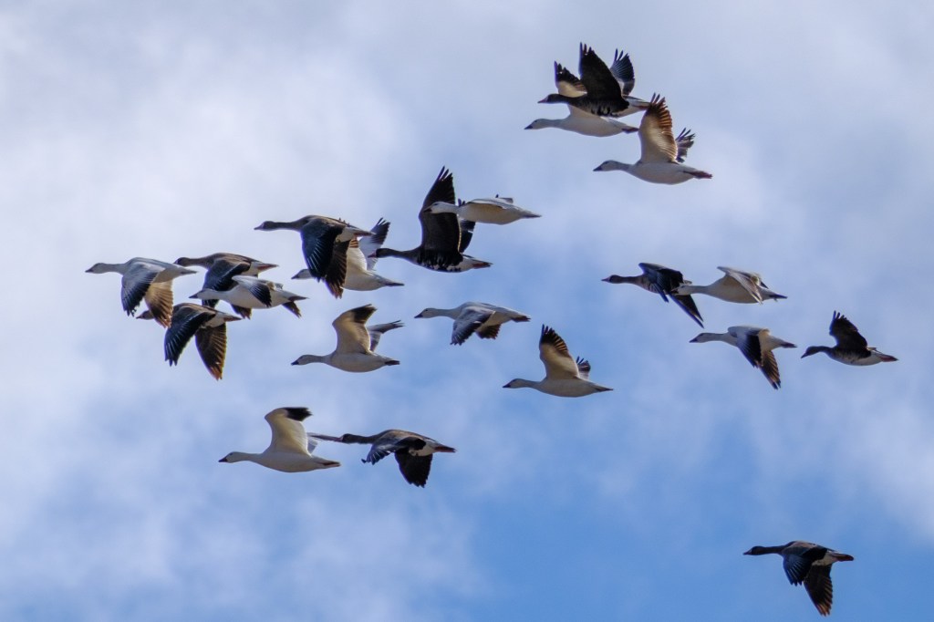
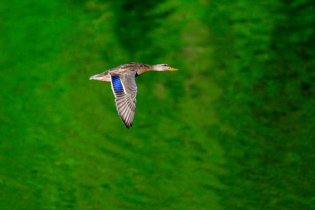
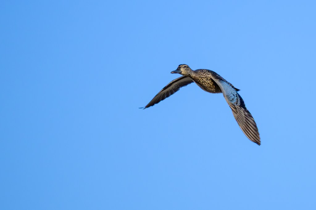
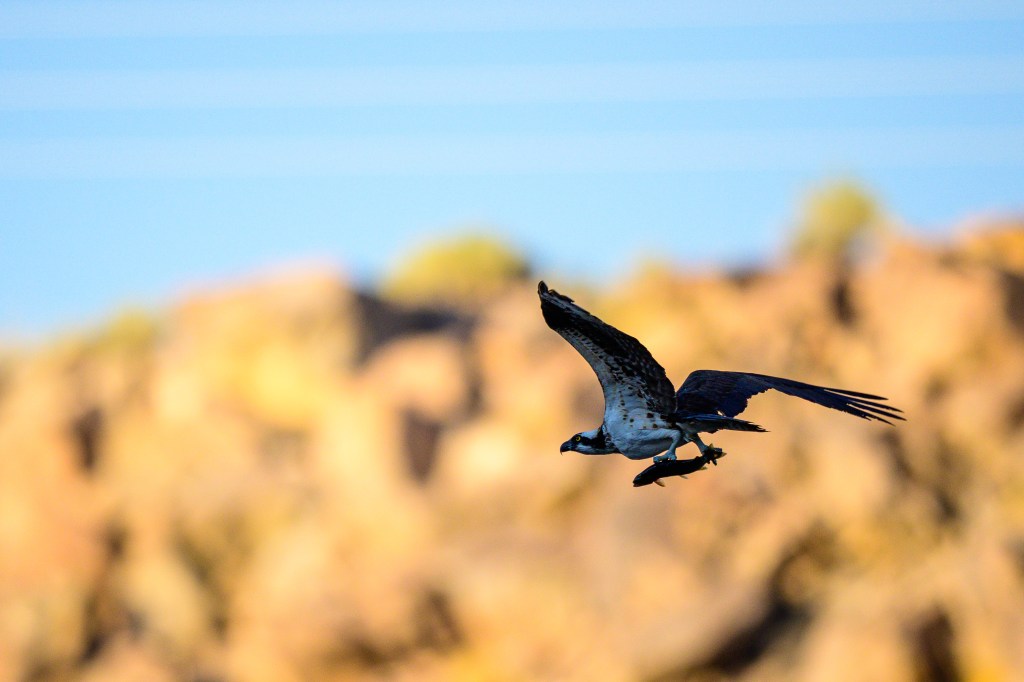
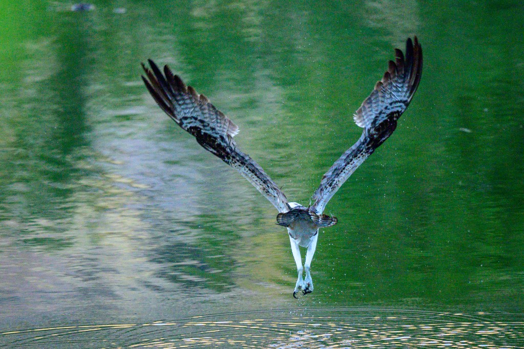
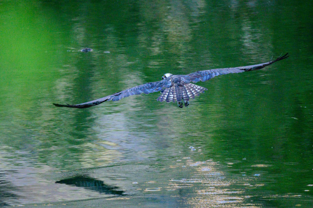
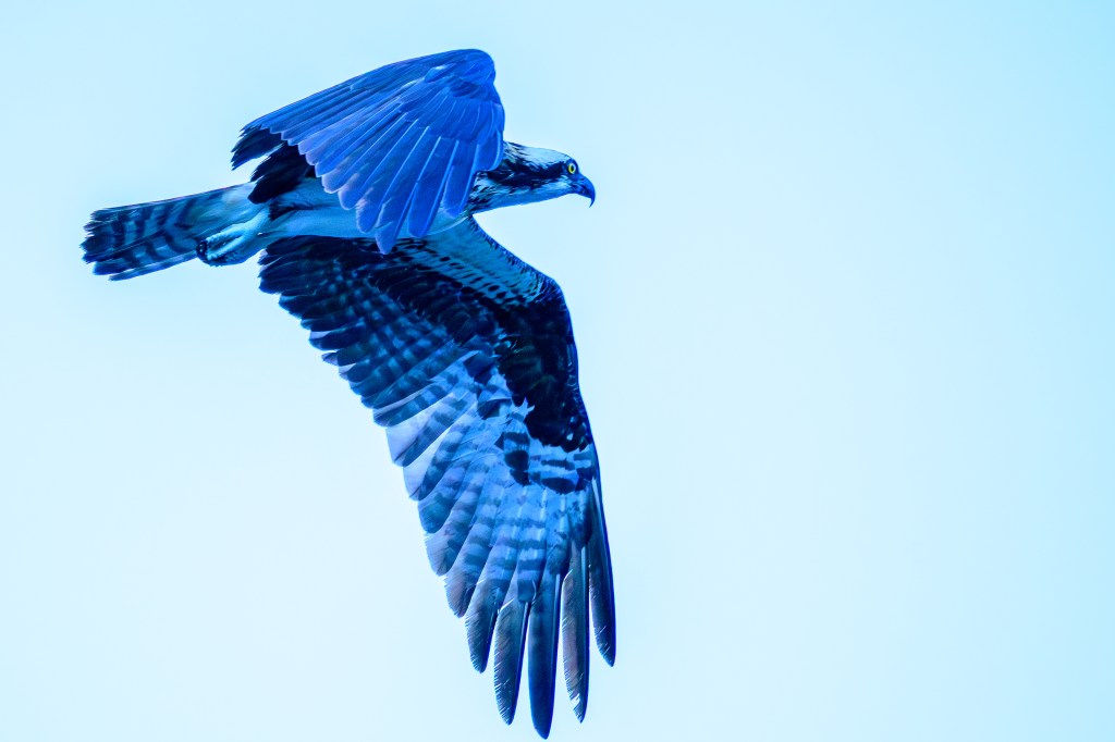
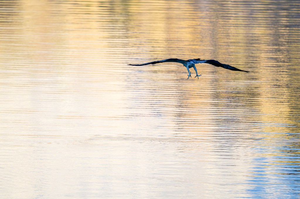
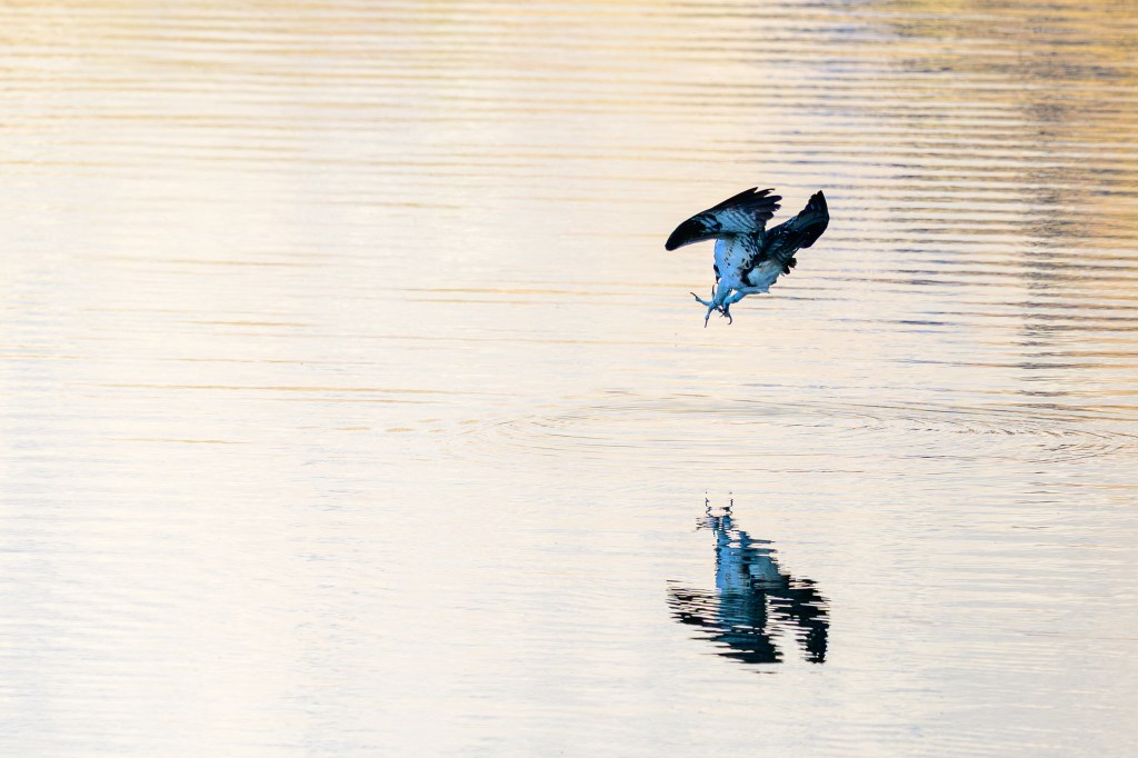
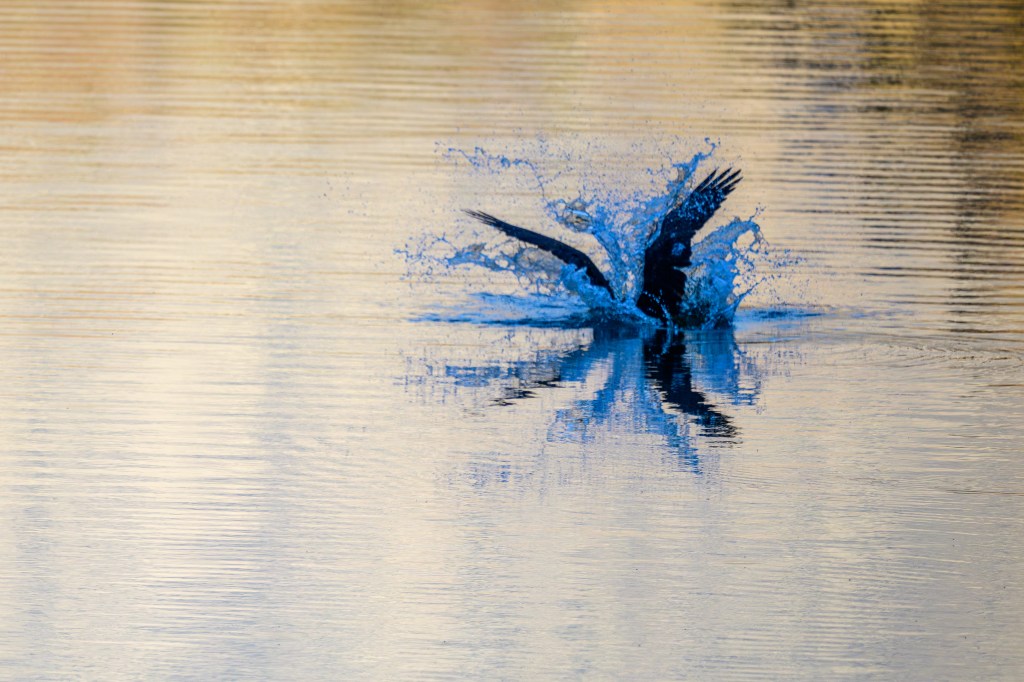
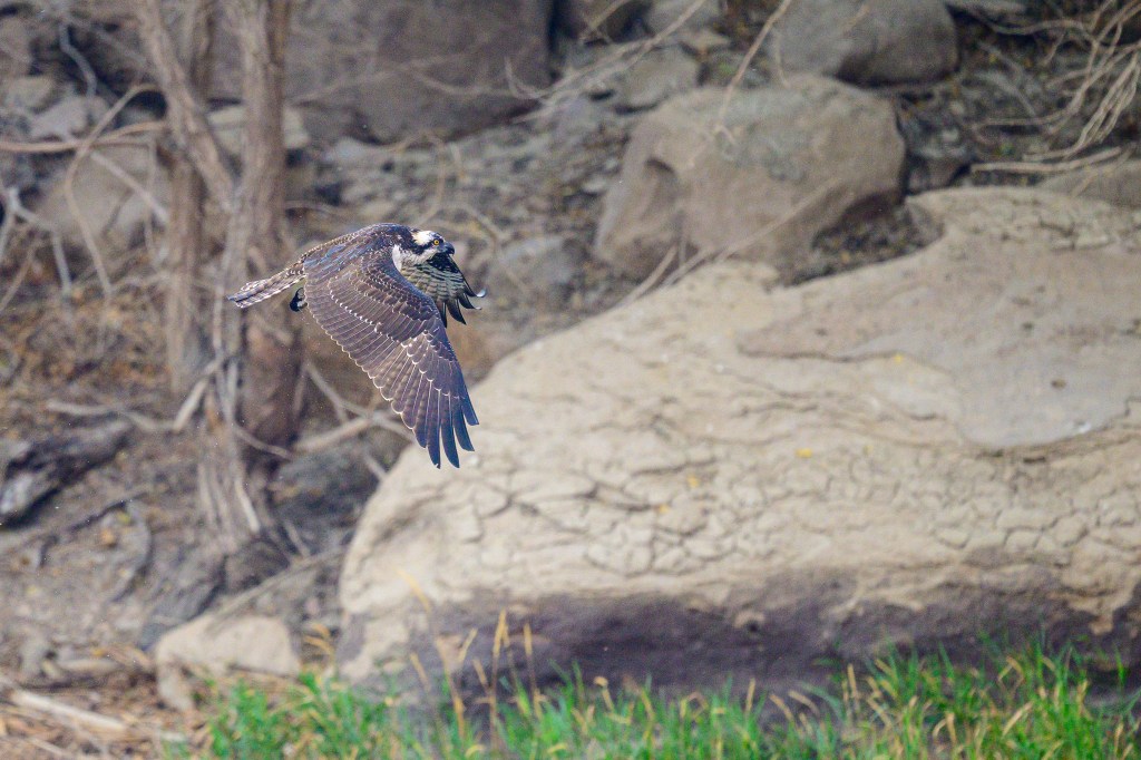
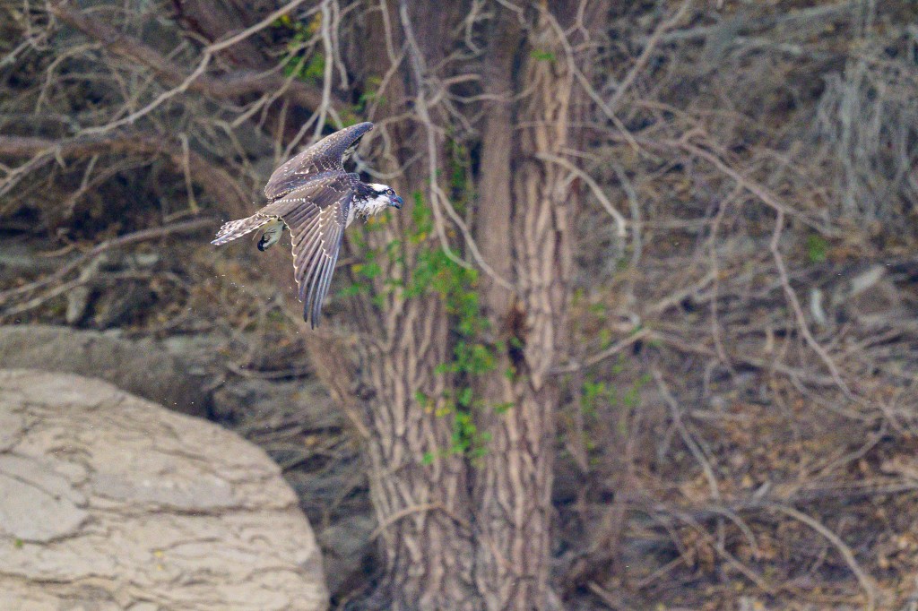
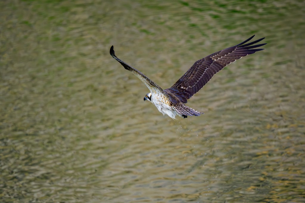
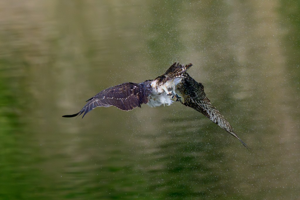
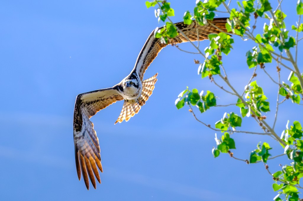
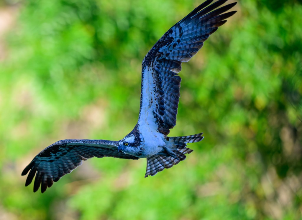
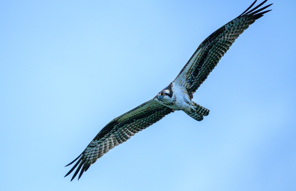
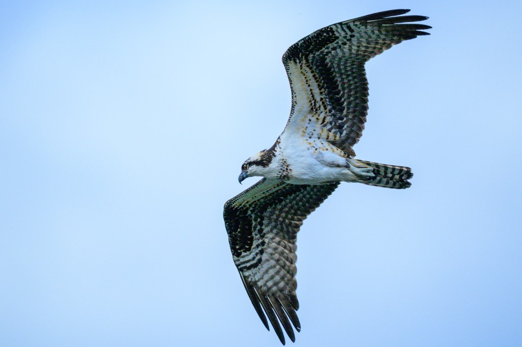
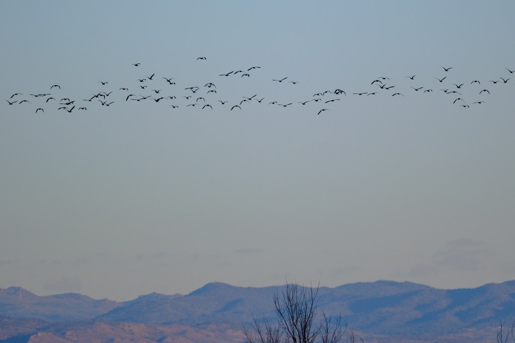
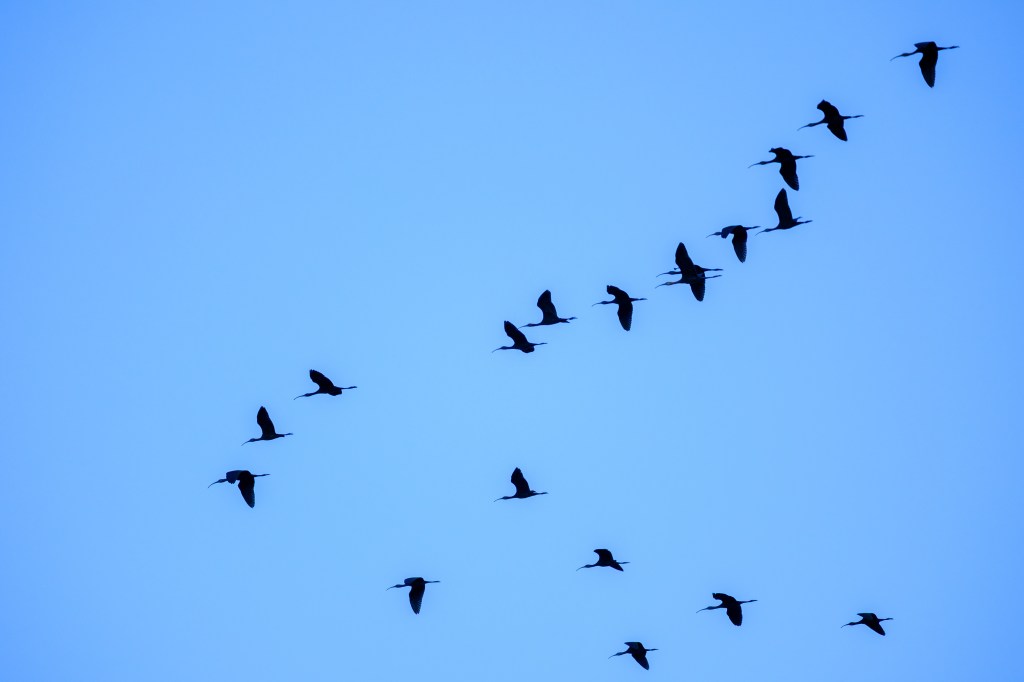
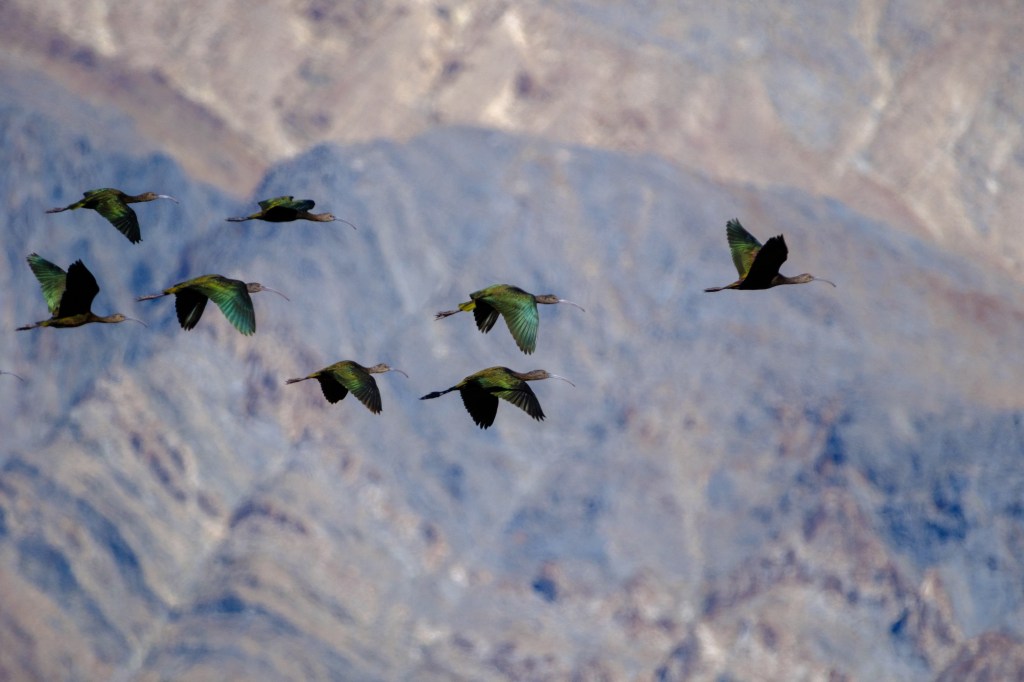
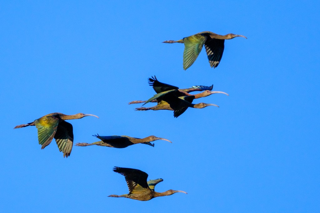
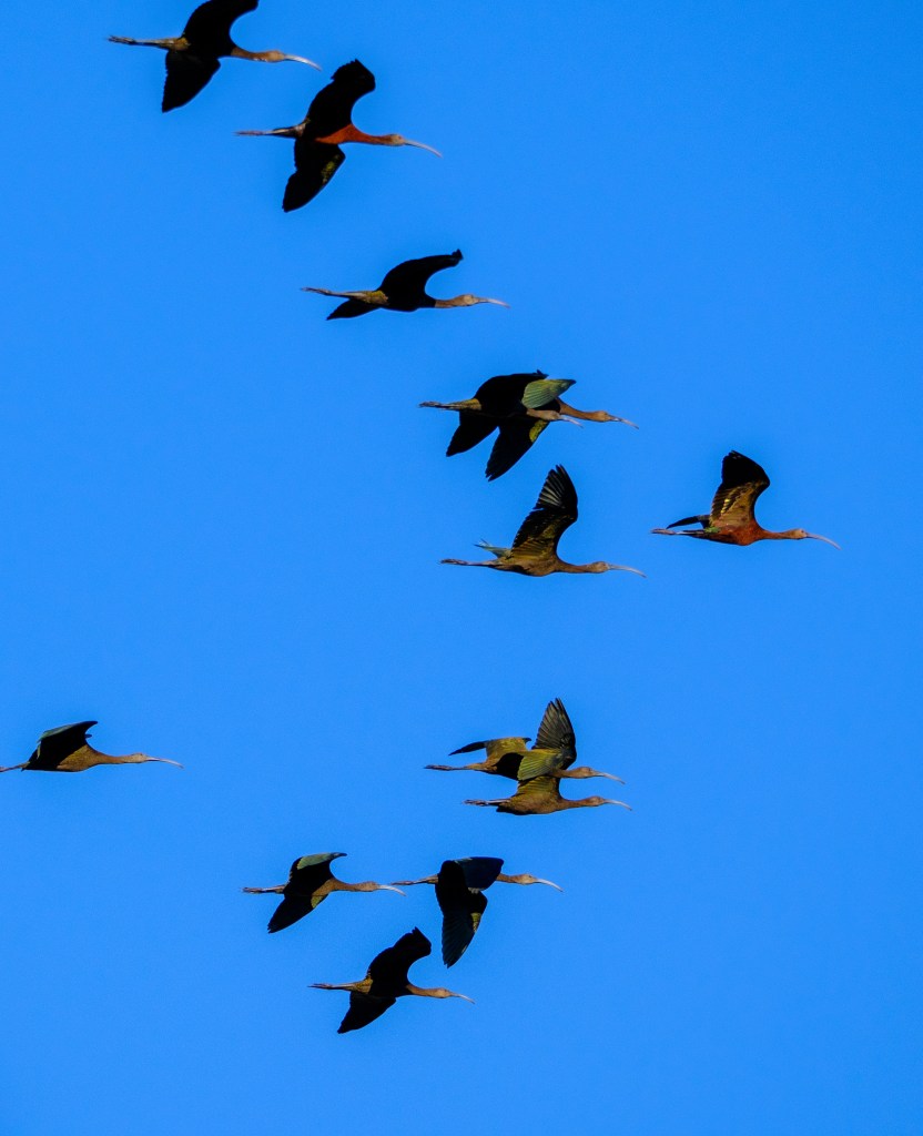
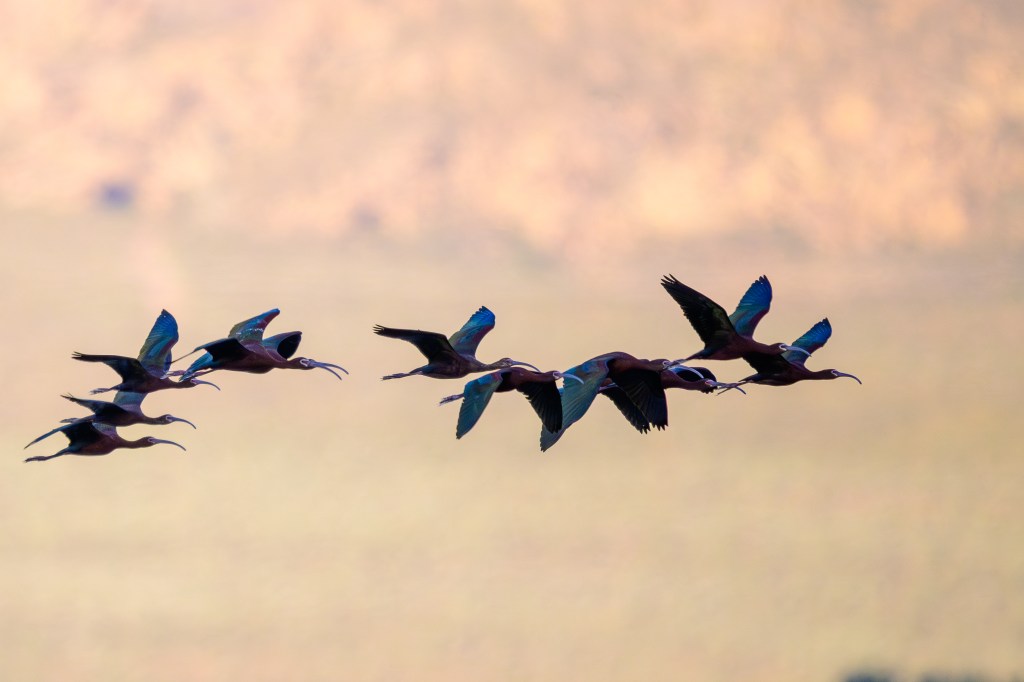
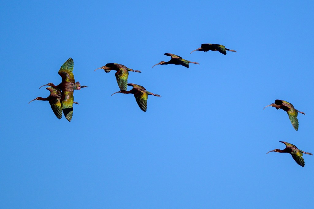
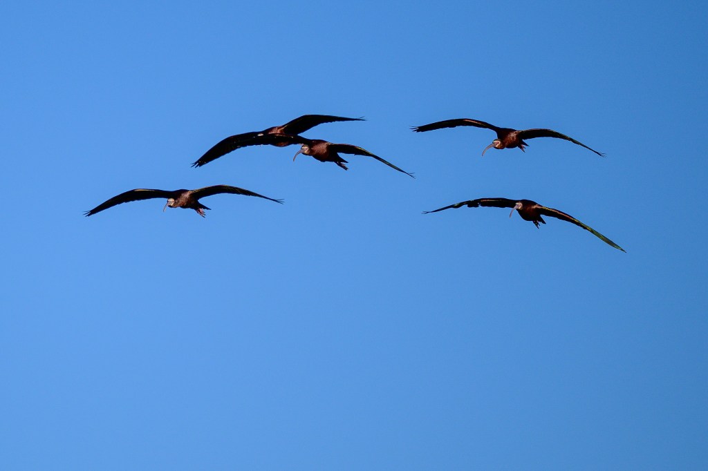
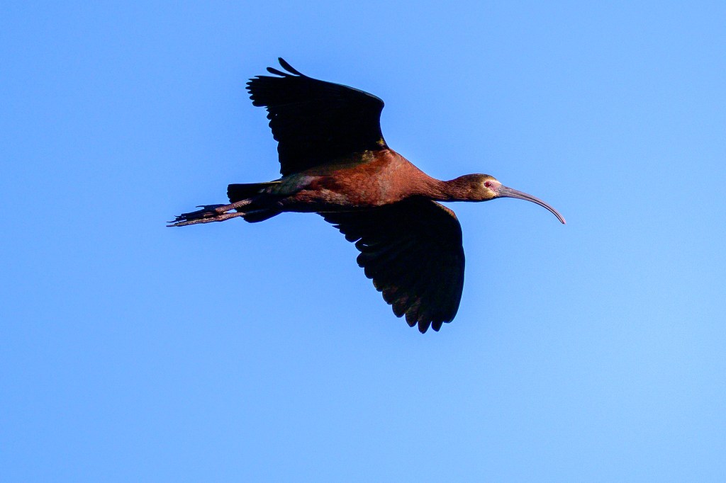
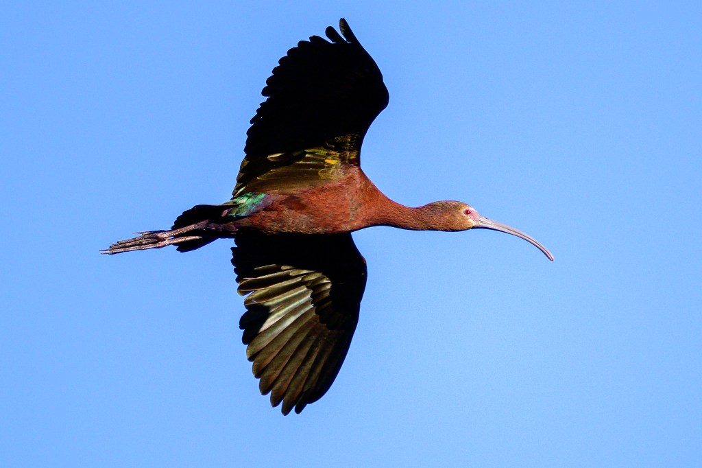
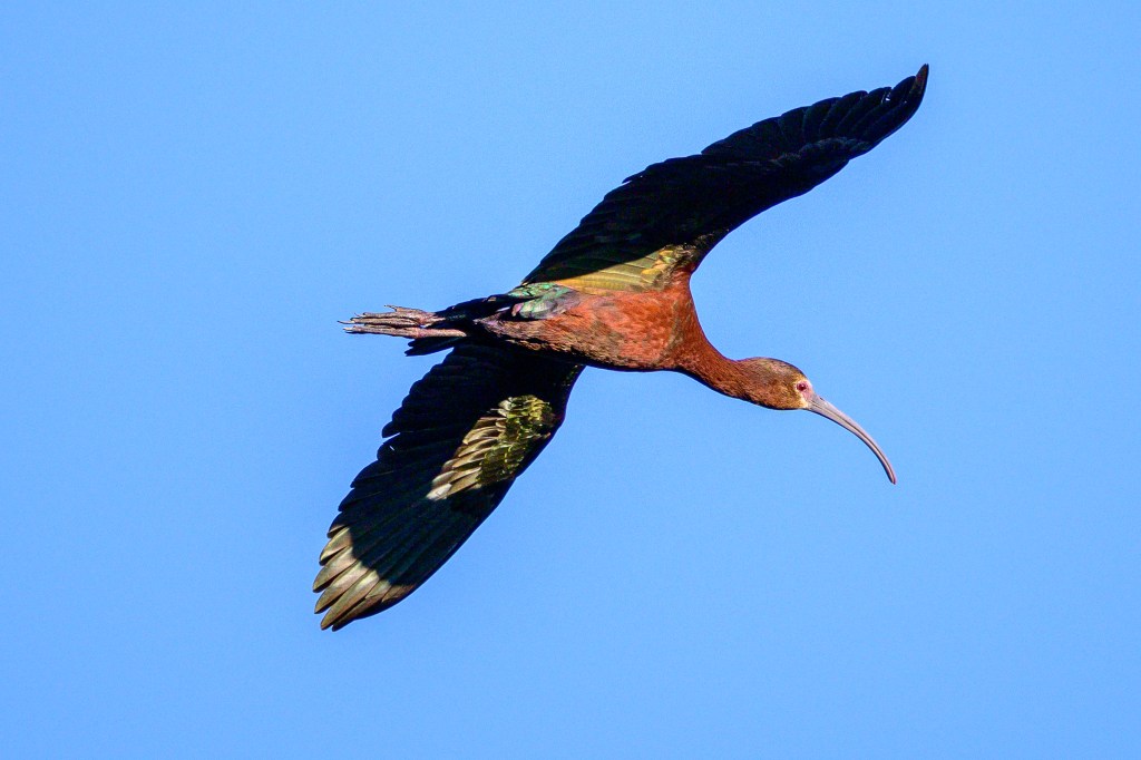
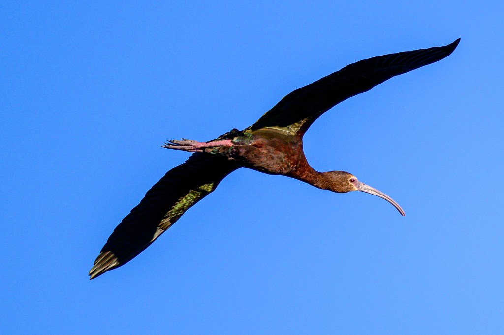
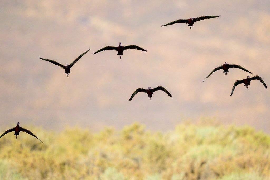
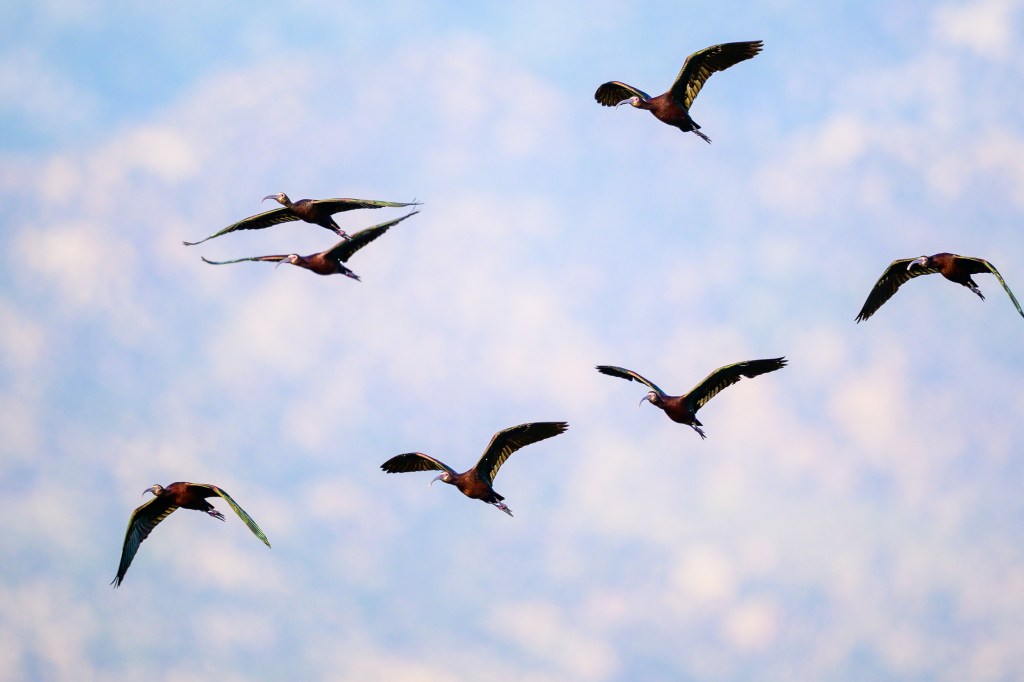
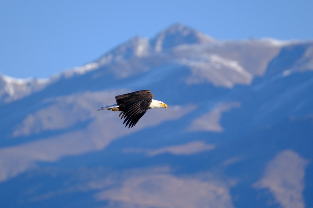
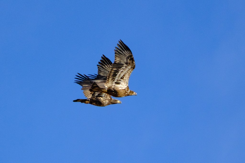
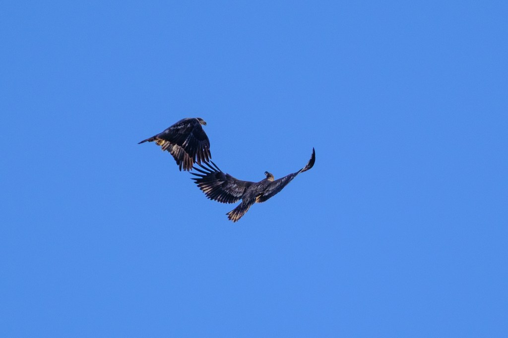
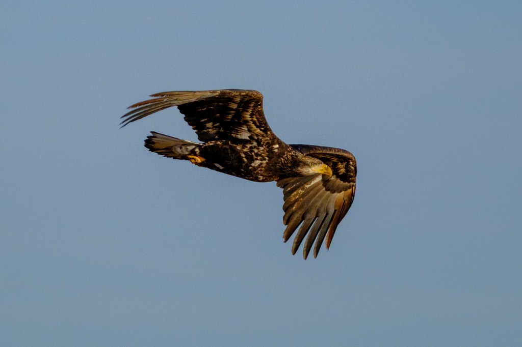
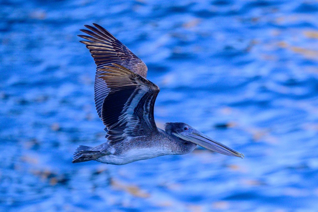
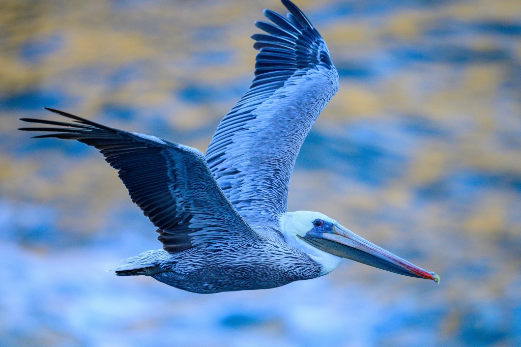
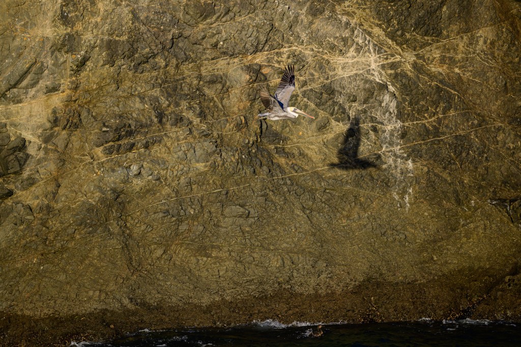
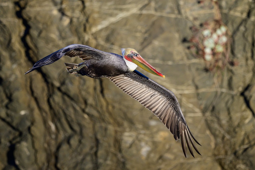
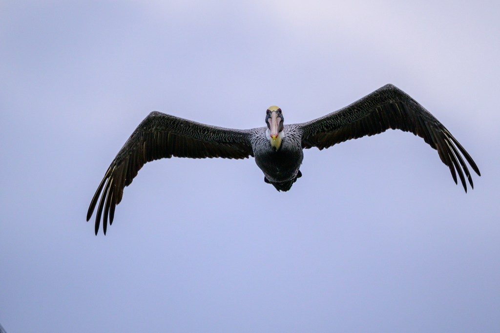
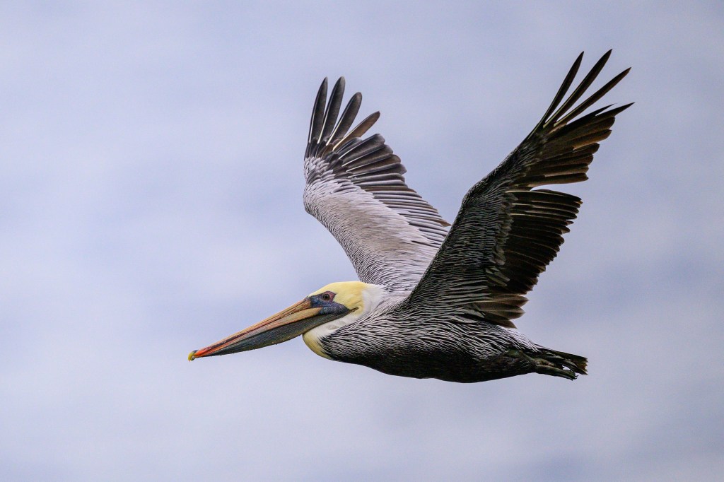
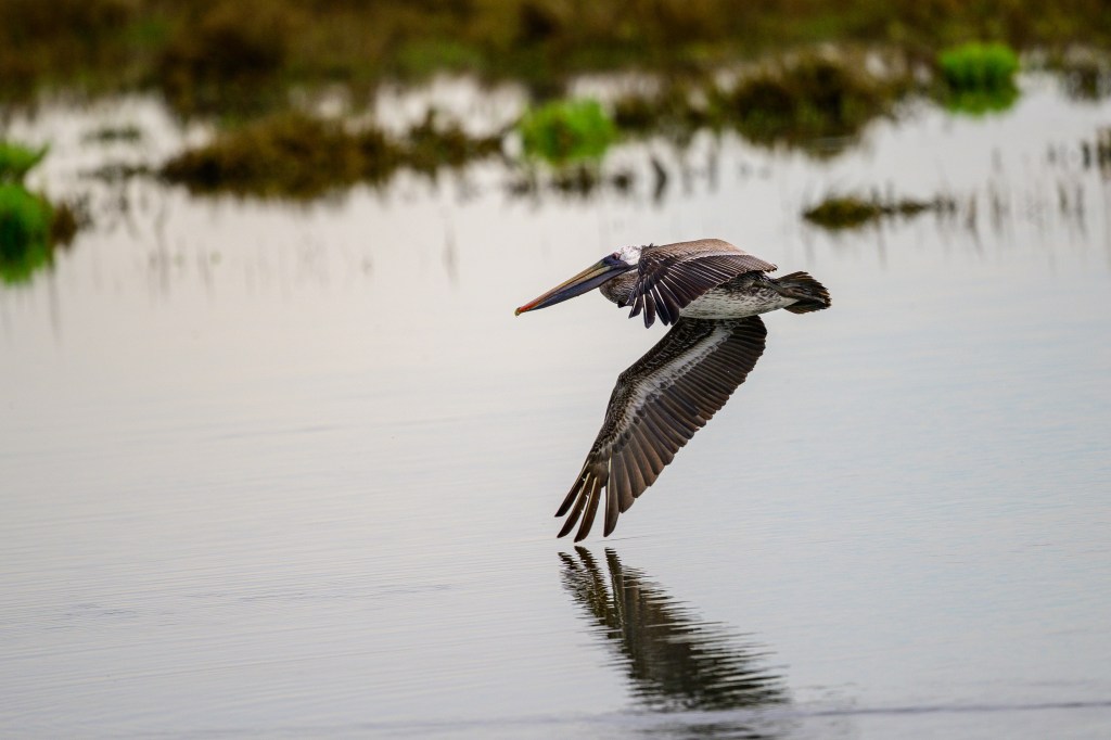
The remaining images all show Pelicans in flight. They are easy to photograph in the air, as they are big and they fly in straight, predictable fashion.
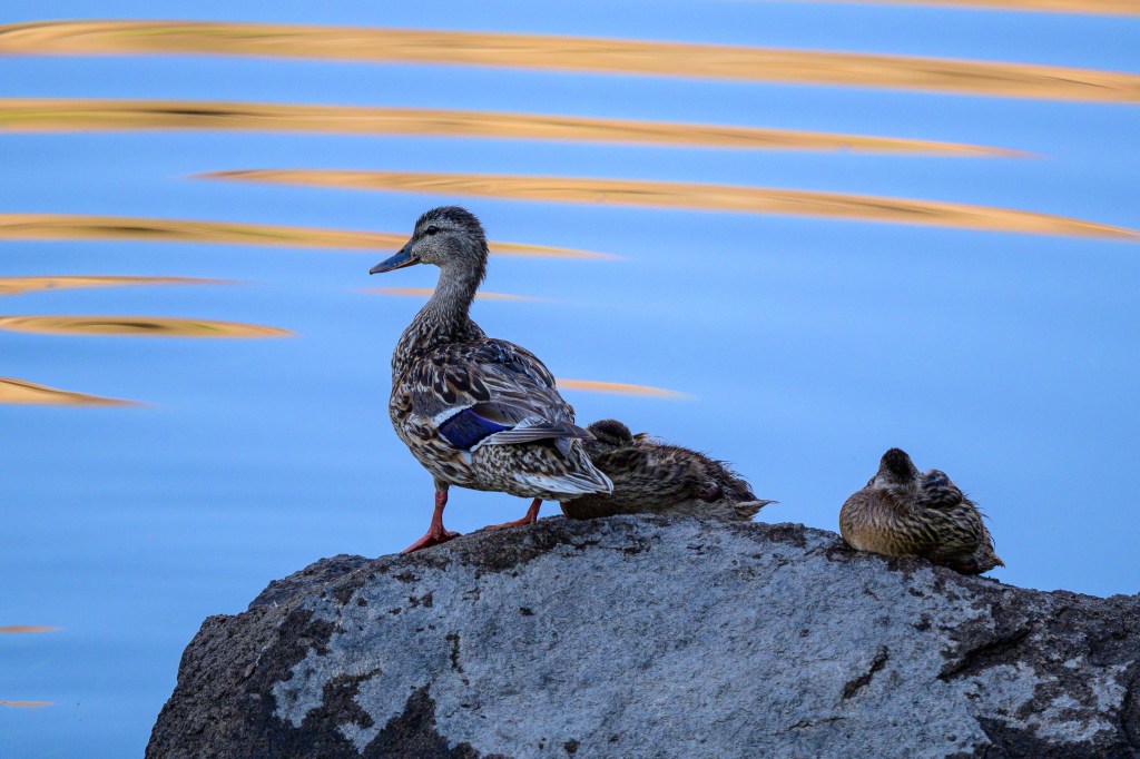
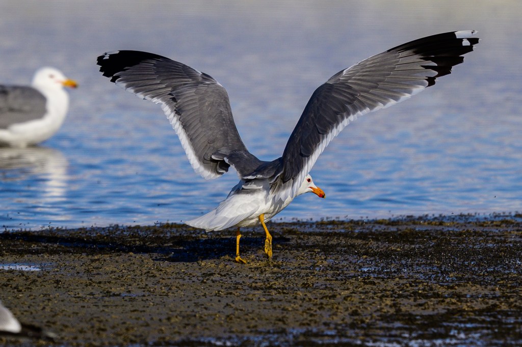
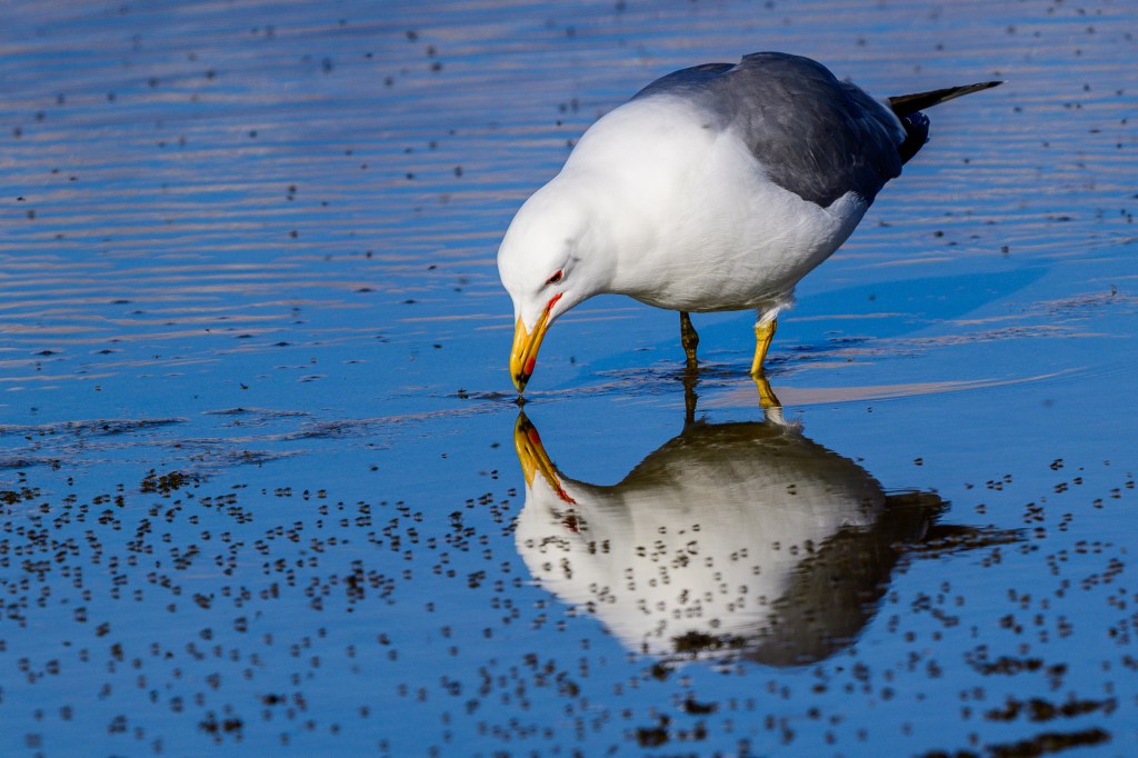
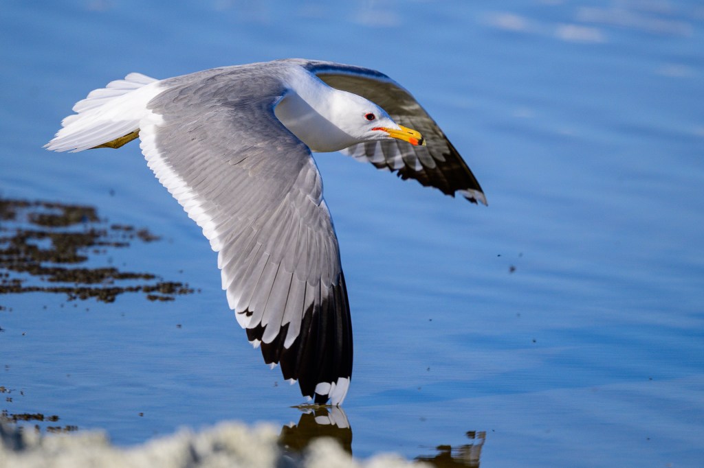
Bolsa Chica
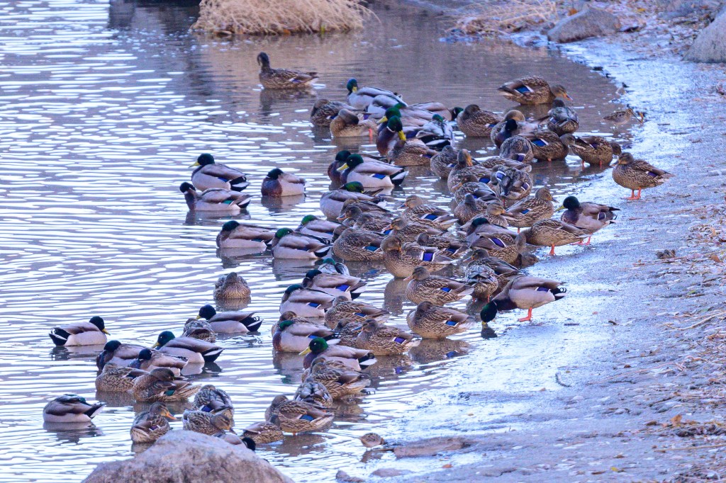
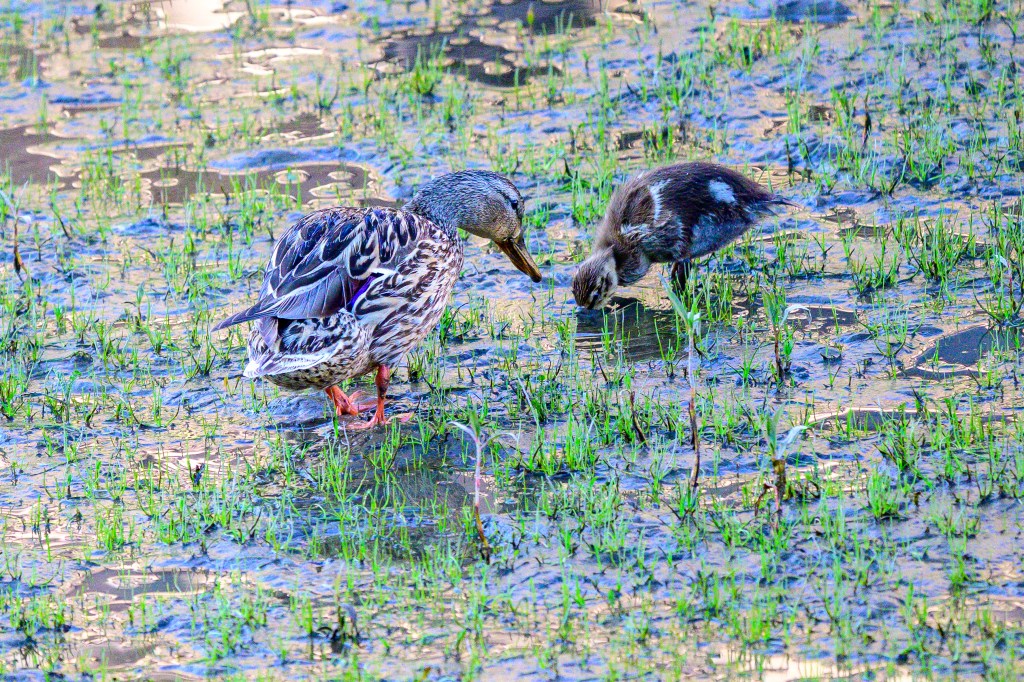
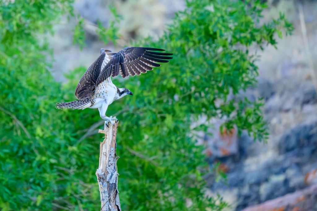
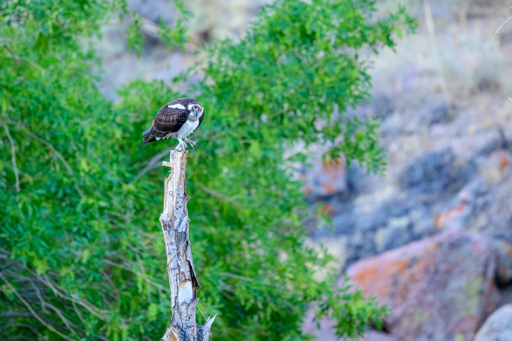
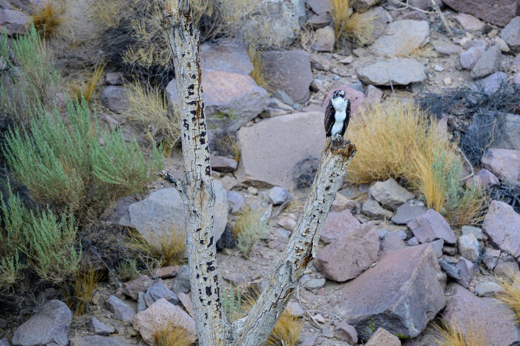
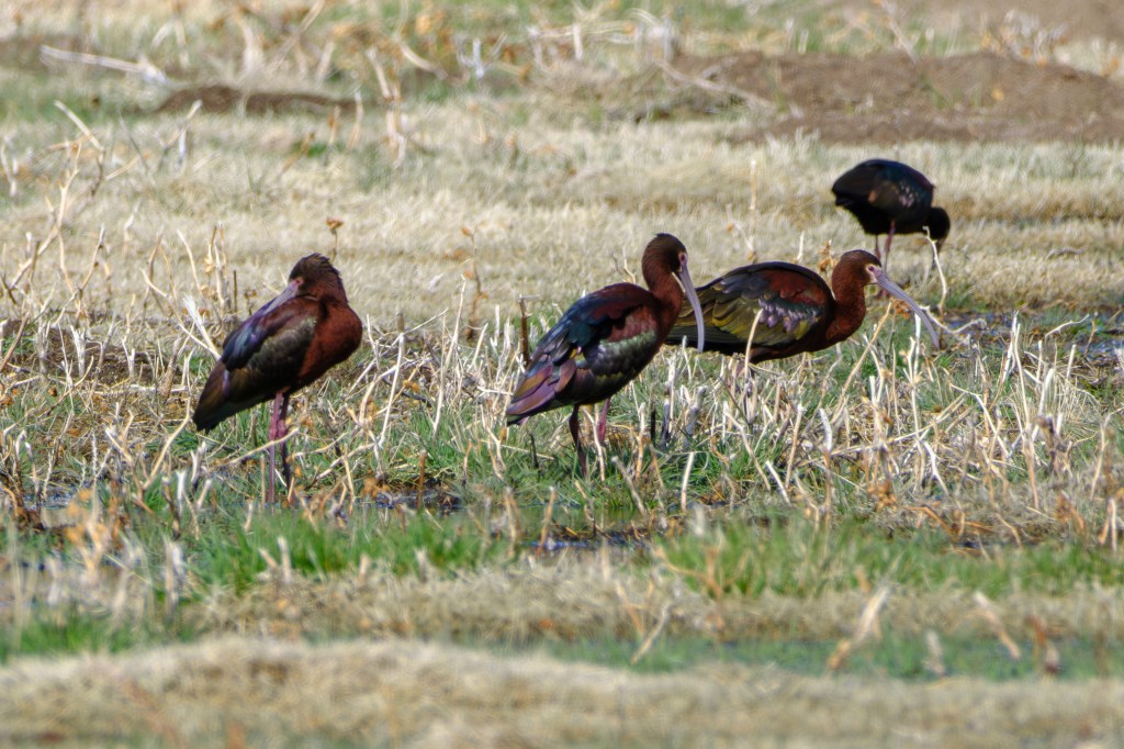
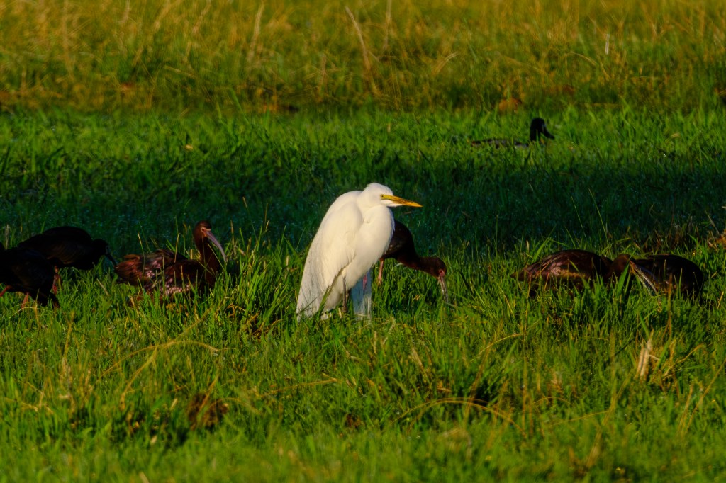
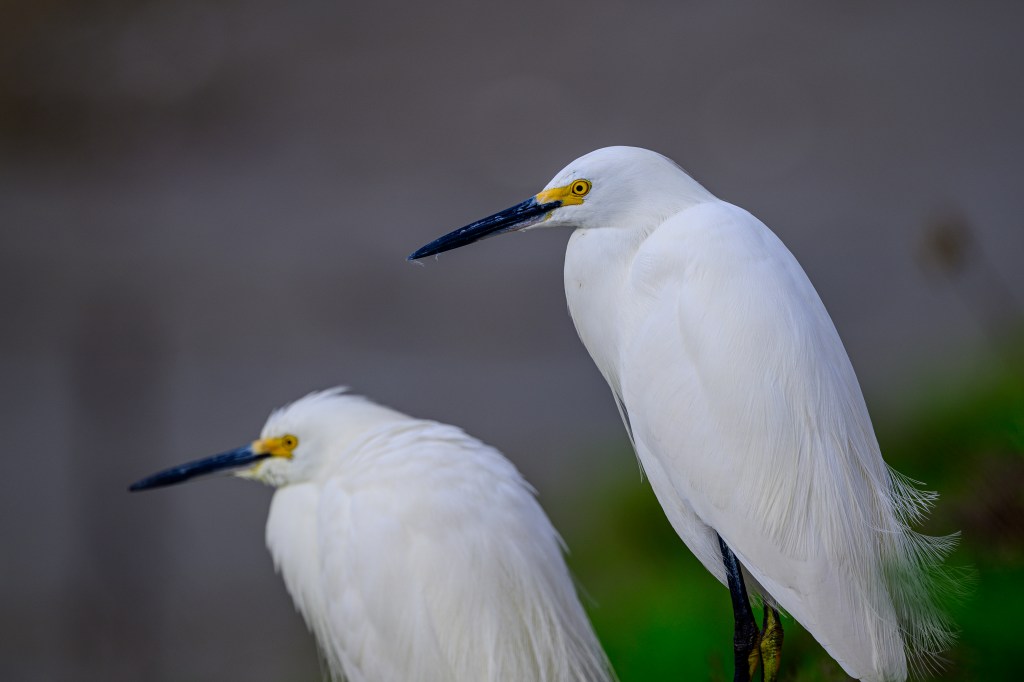
In January, 2026, we visited the Bolsa Chica preserve south of LA. This wetland hosts many species of coastal birds. There are a couple of miles of dirt road on embankments, so it is easy to walk about and find birds. The birds are protected and many of them know this; they allowed me to get surprisingly close. I sometimes had to back up to get the birds in focus with my telephoto lens. Snowy Egrets were so numerous and tame that I had to kick them out of the way. (Ok, full disclosure: I did not actually kick any birds.)
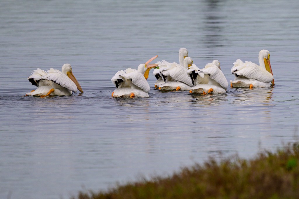
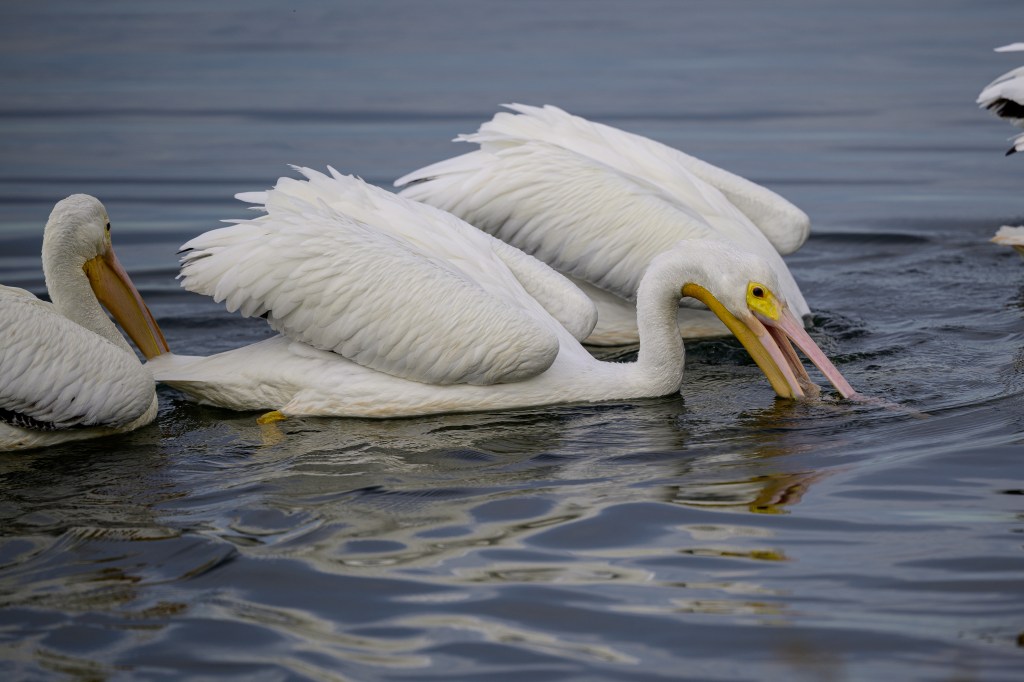
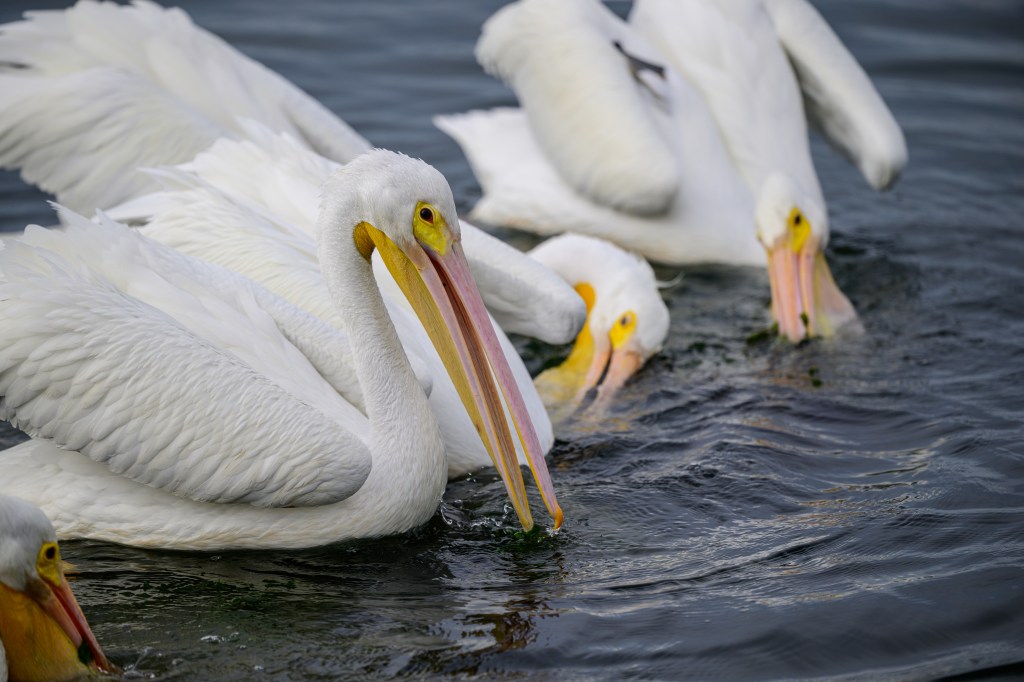
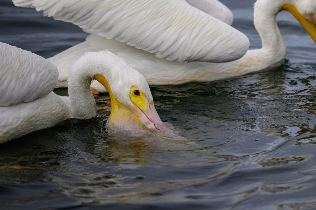
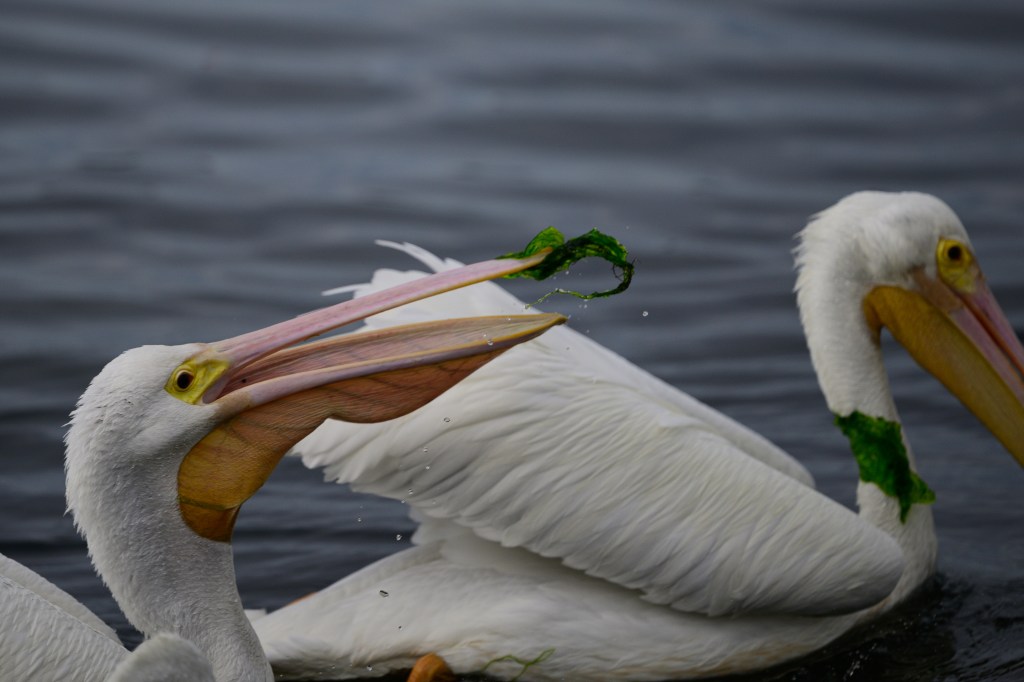
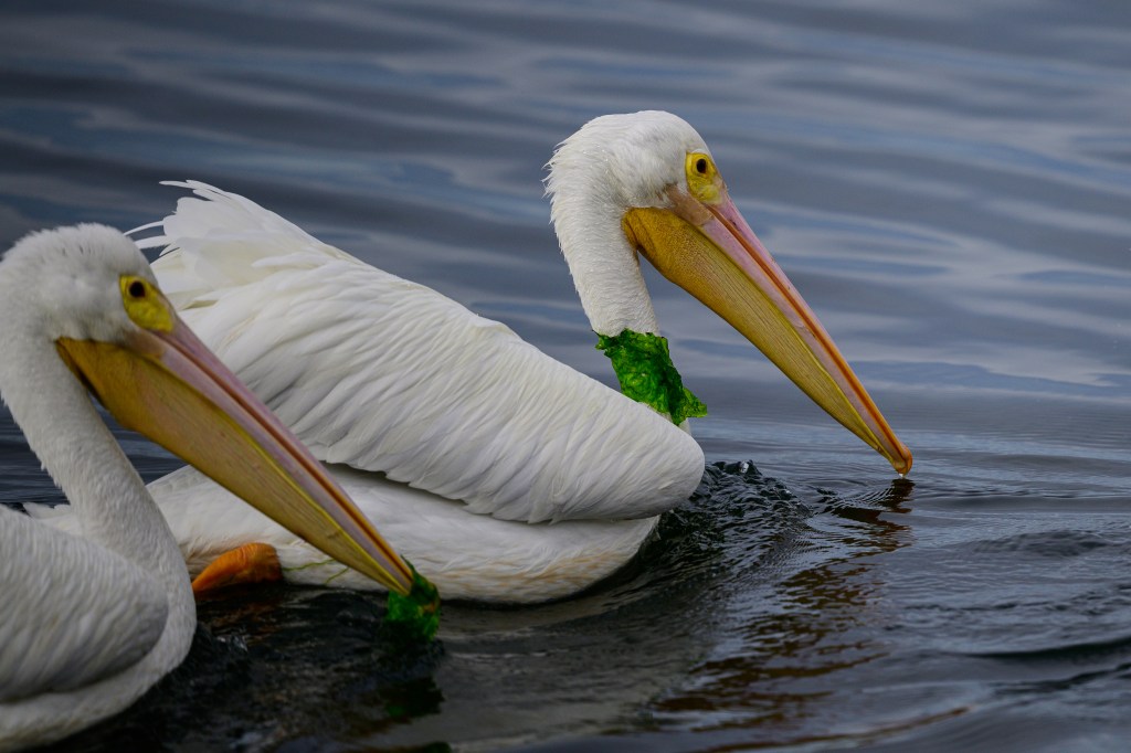
Pelicans
The American White Pelican is an enormous bird: 16 pounds, wingspan 9 feet. They are mostly an inland bird, fairly common near Bishop. There was a group of 7 birds feeding at Bolsa Chica and they did not seem to mind as people walked past.
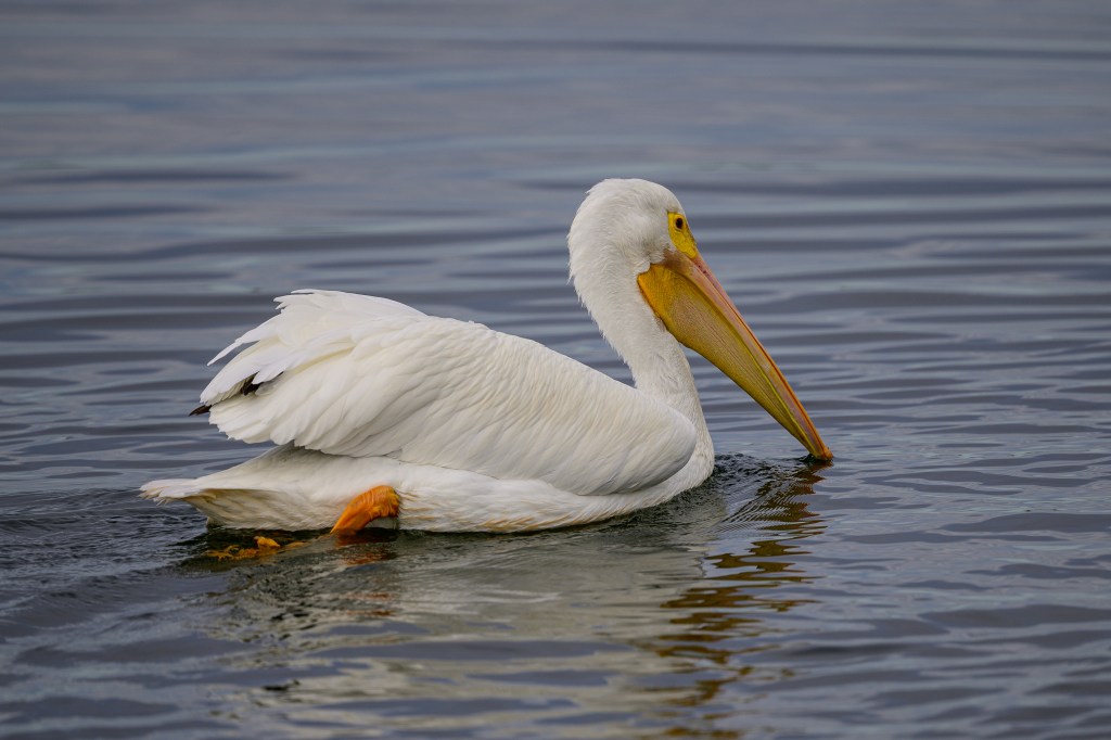
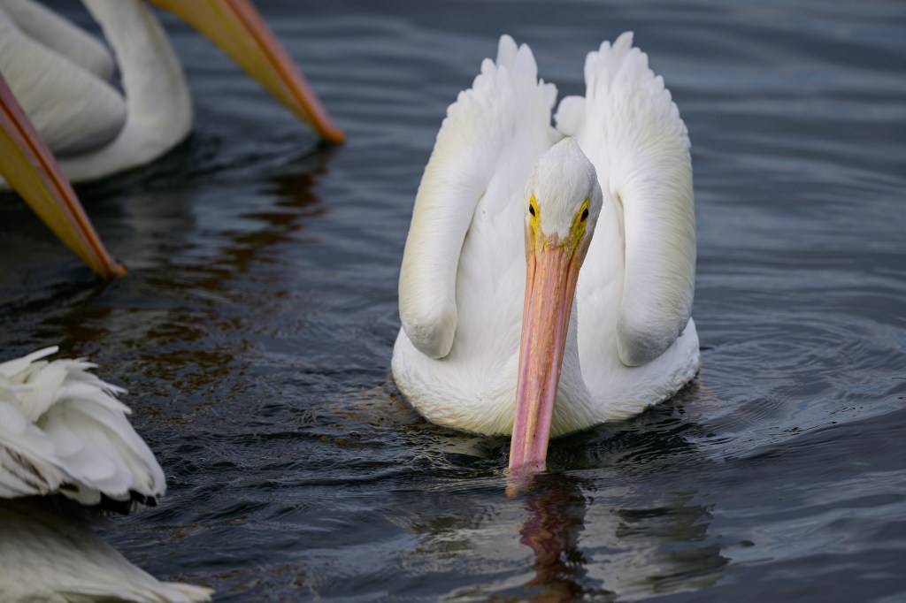
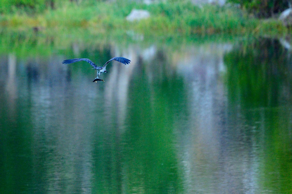
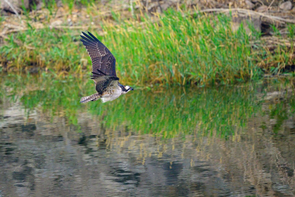
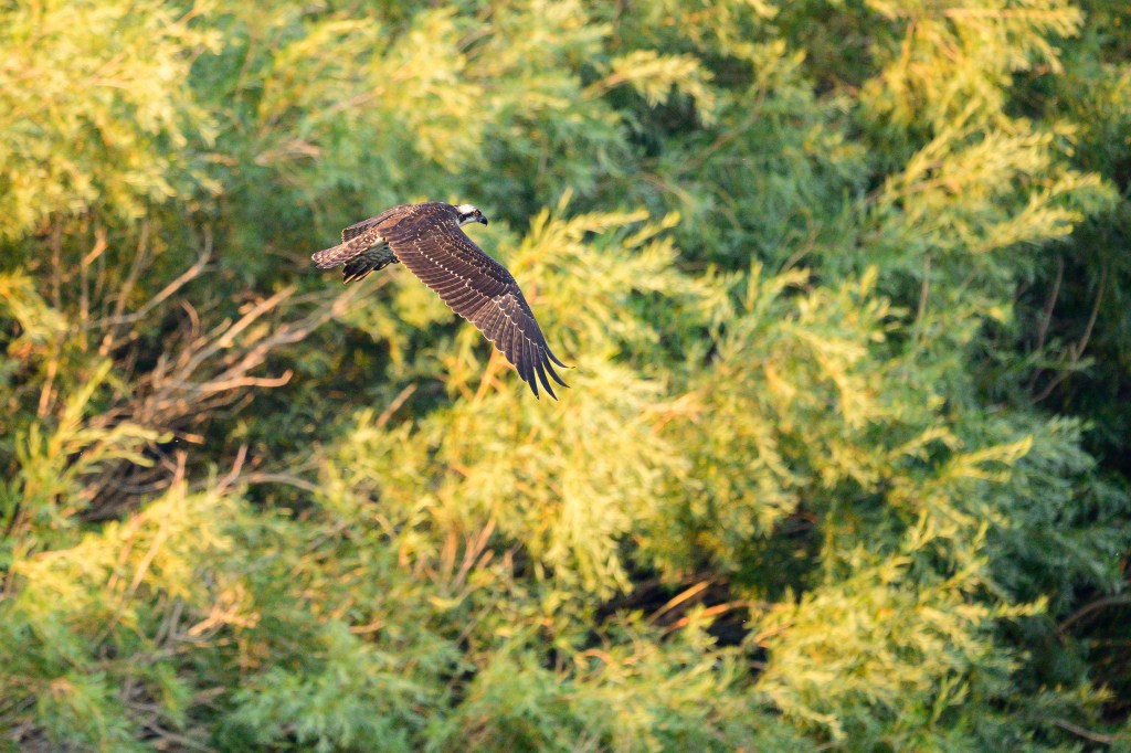
One Brown Pelican cruised past.
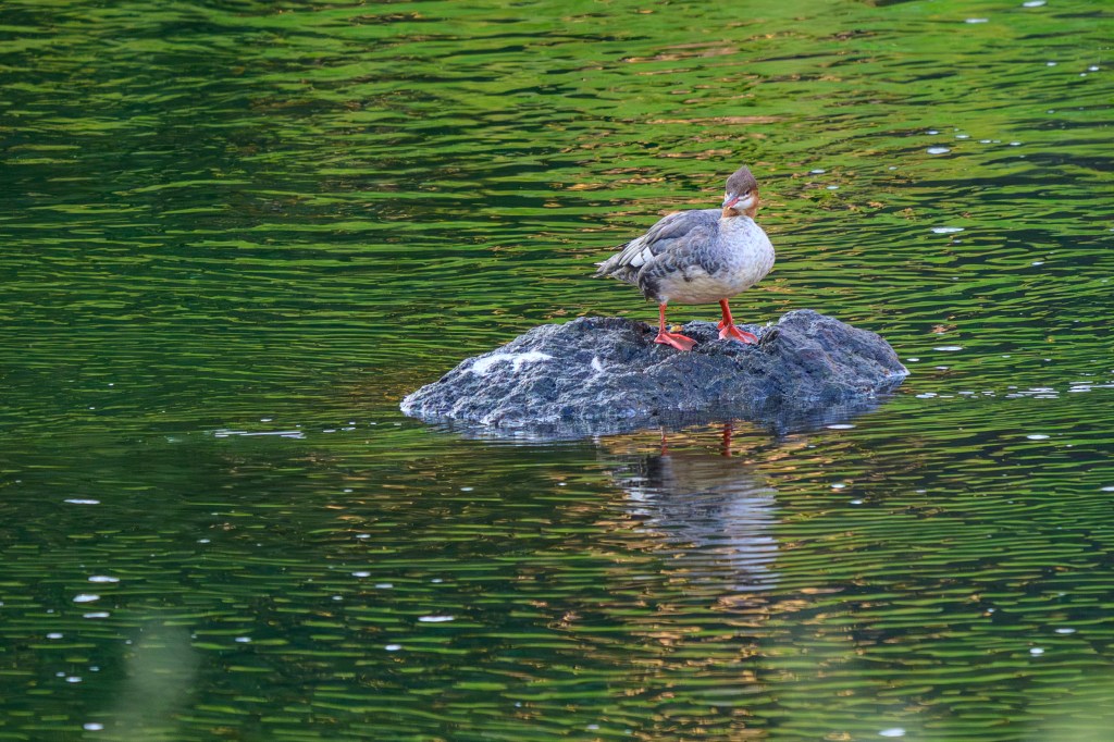
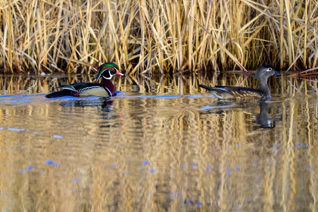
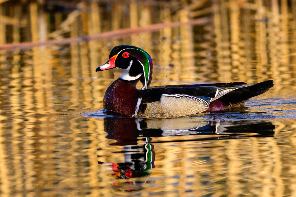
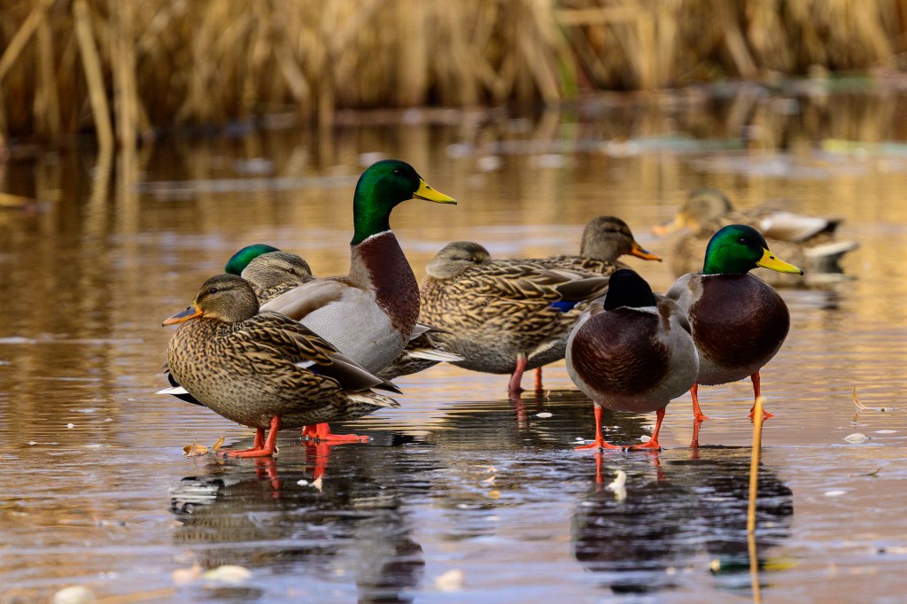
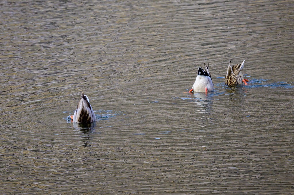
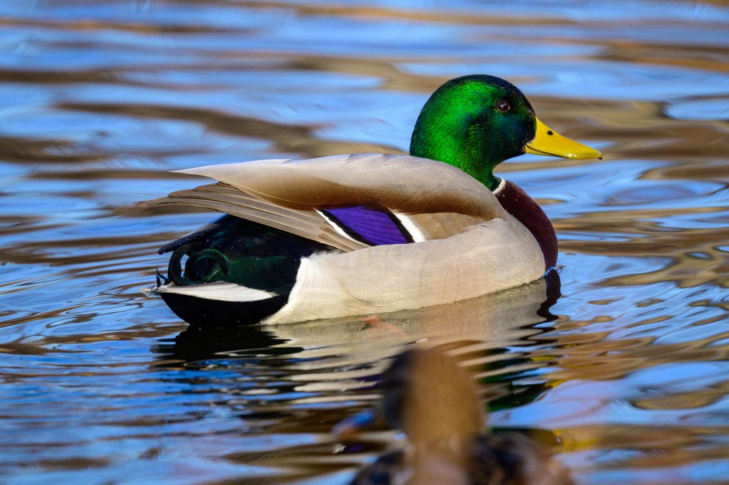
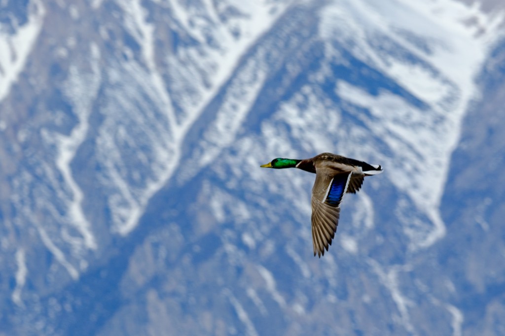
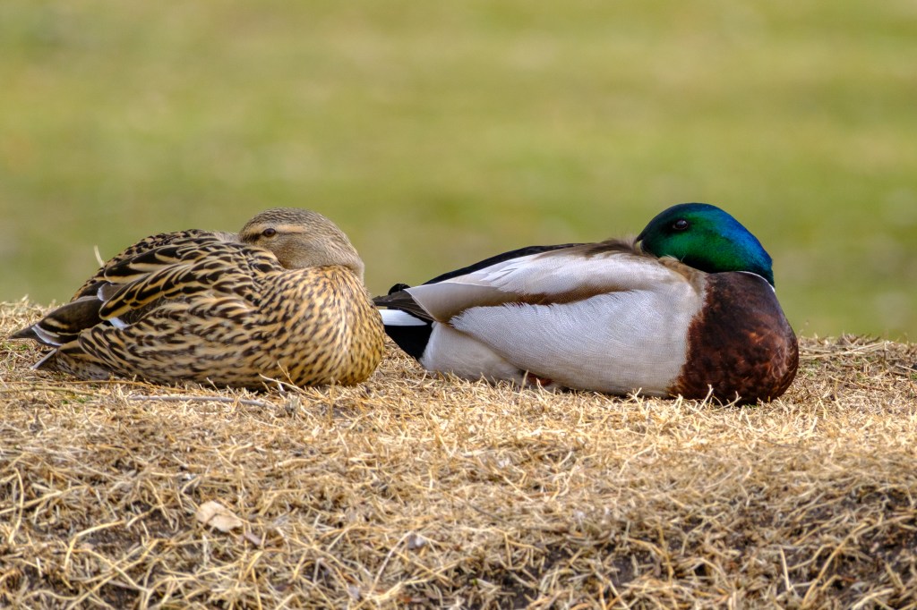
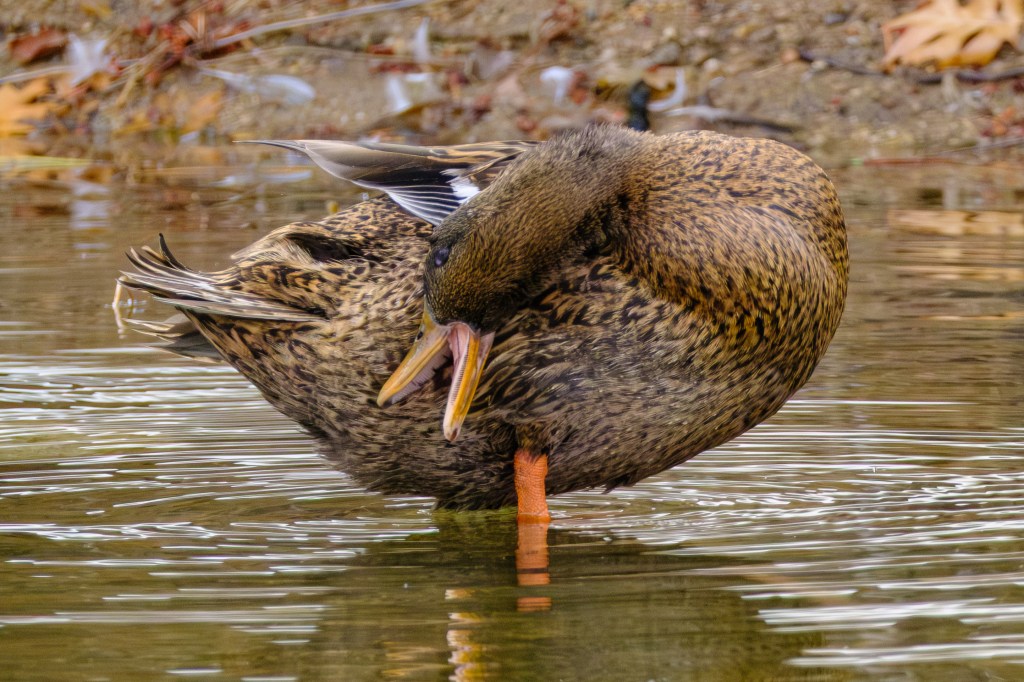
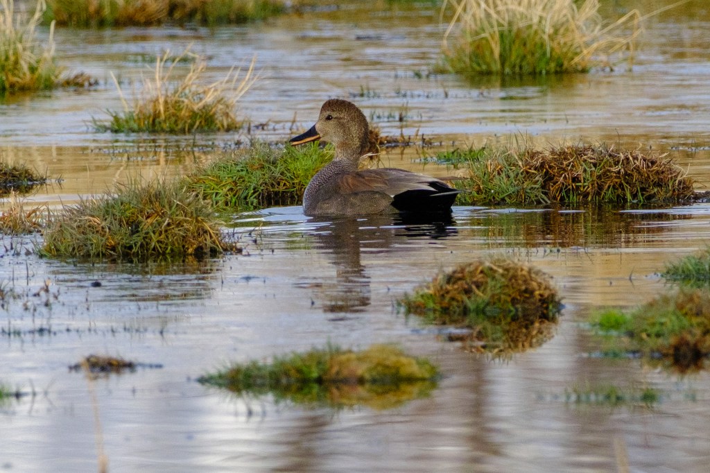
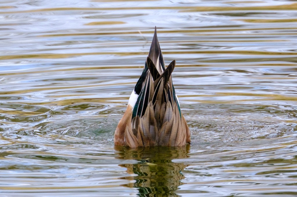
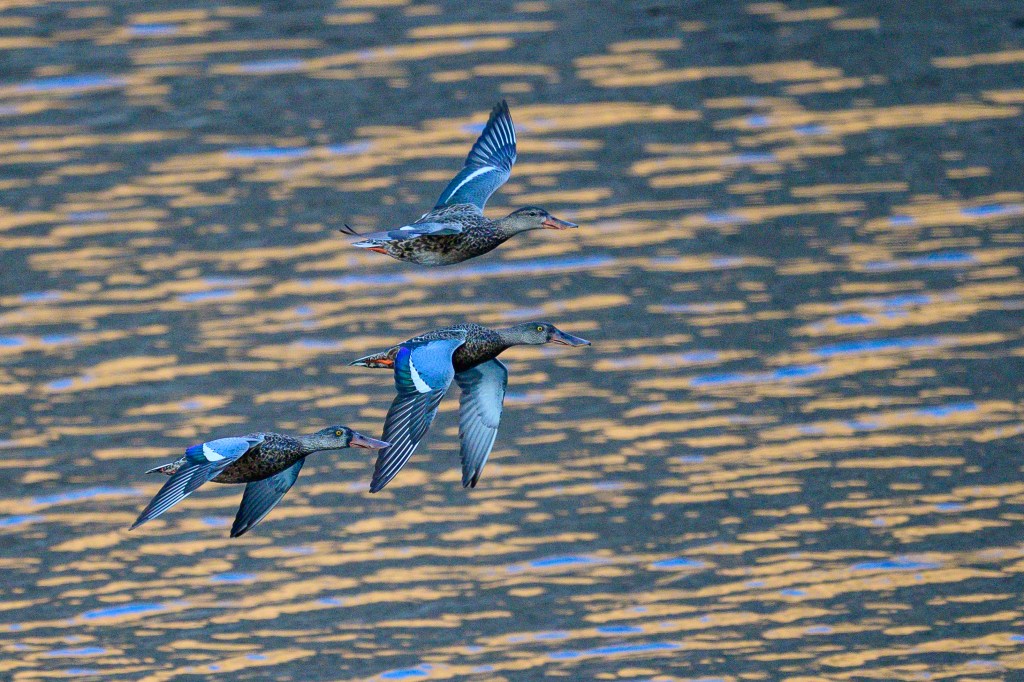
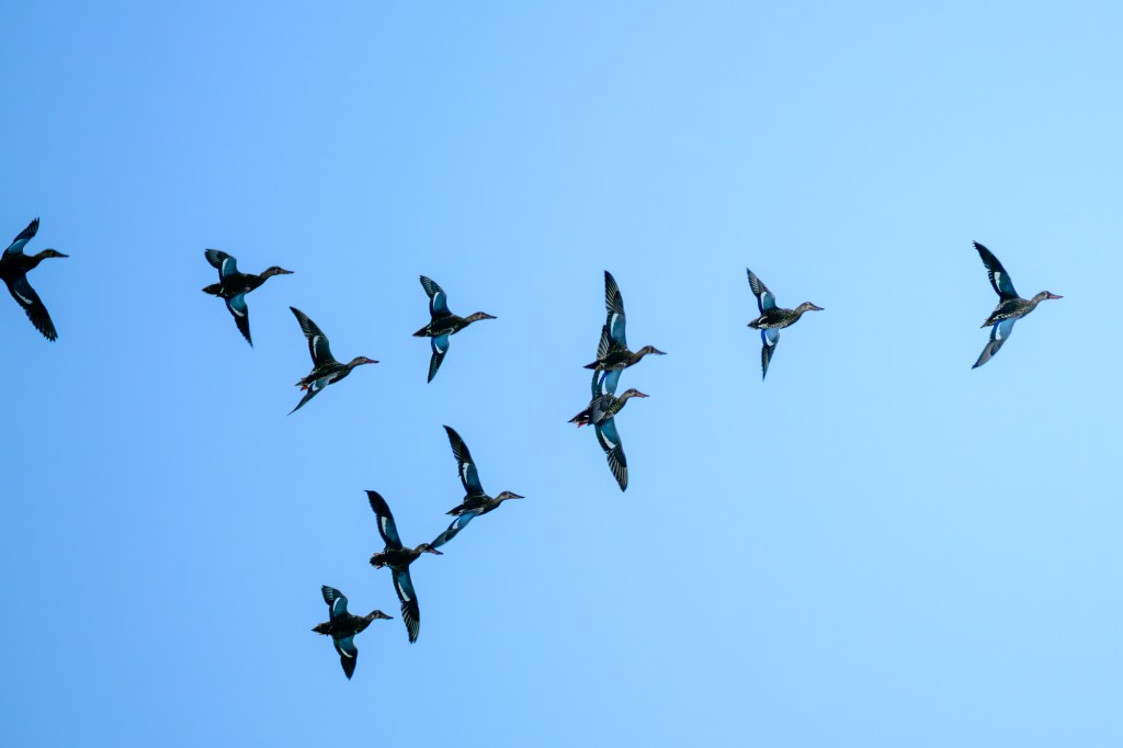
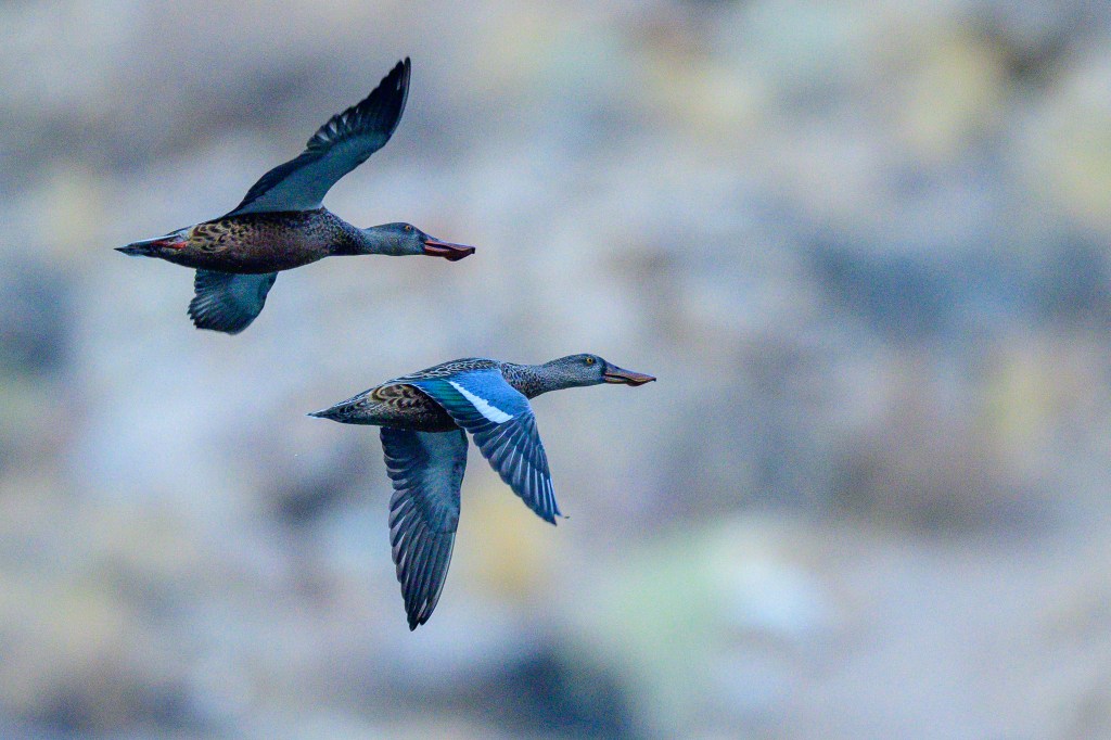
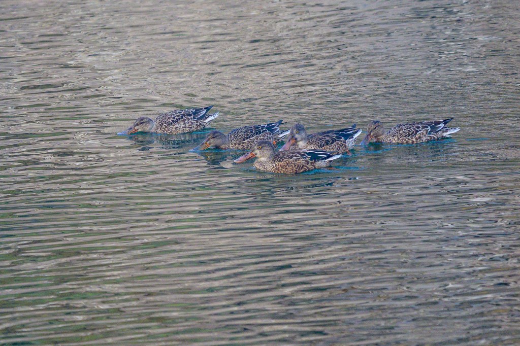
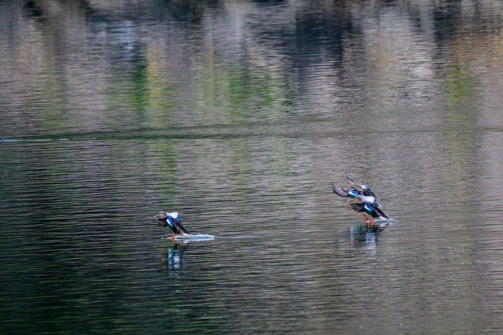
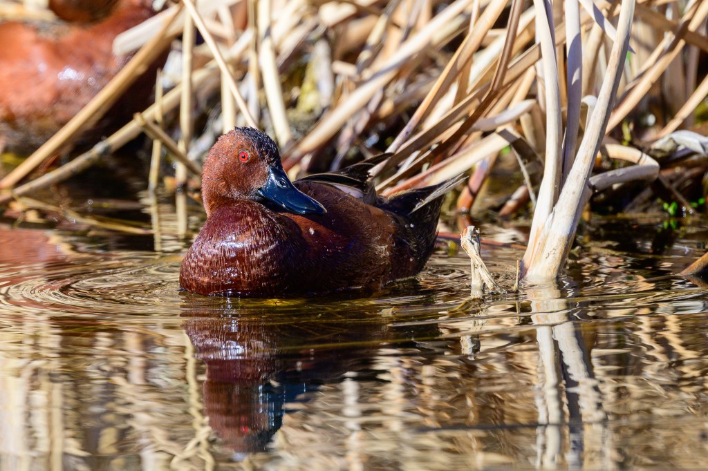
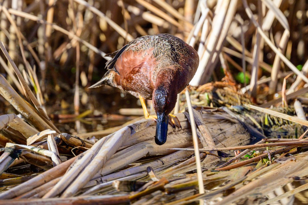
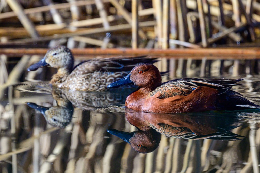
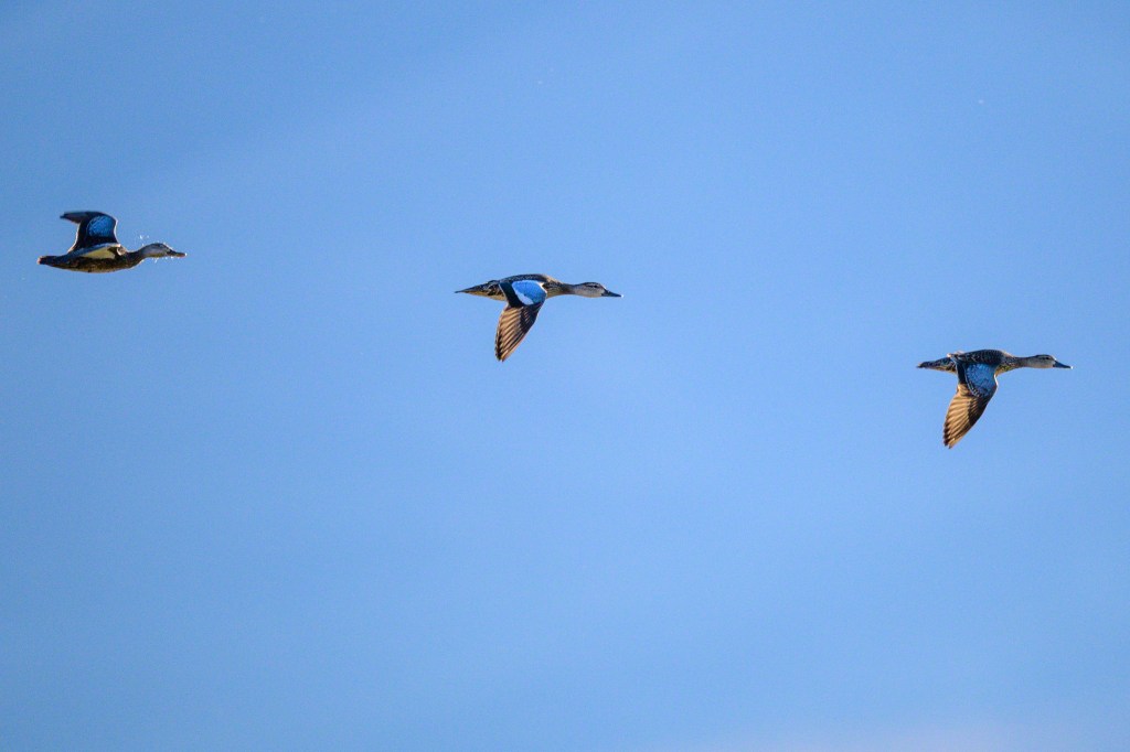
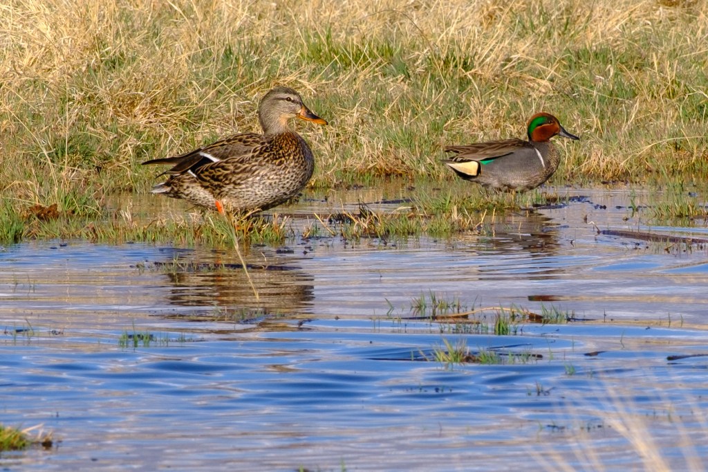
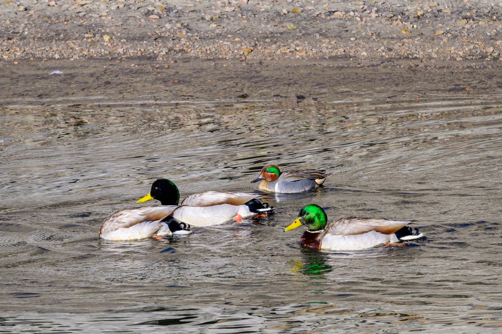
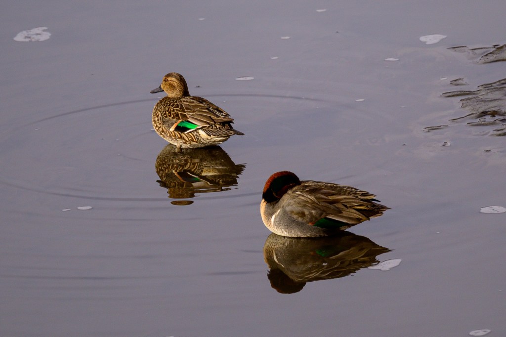
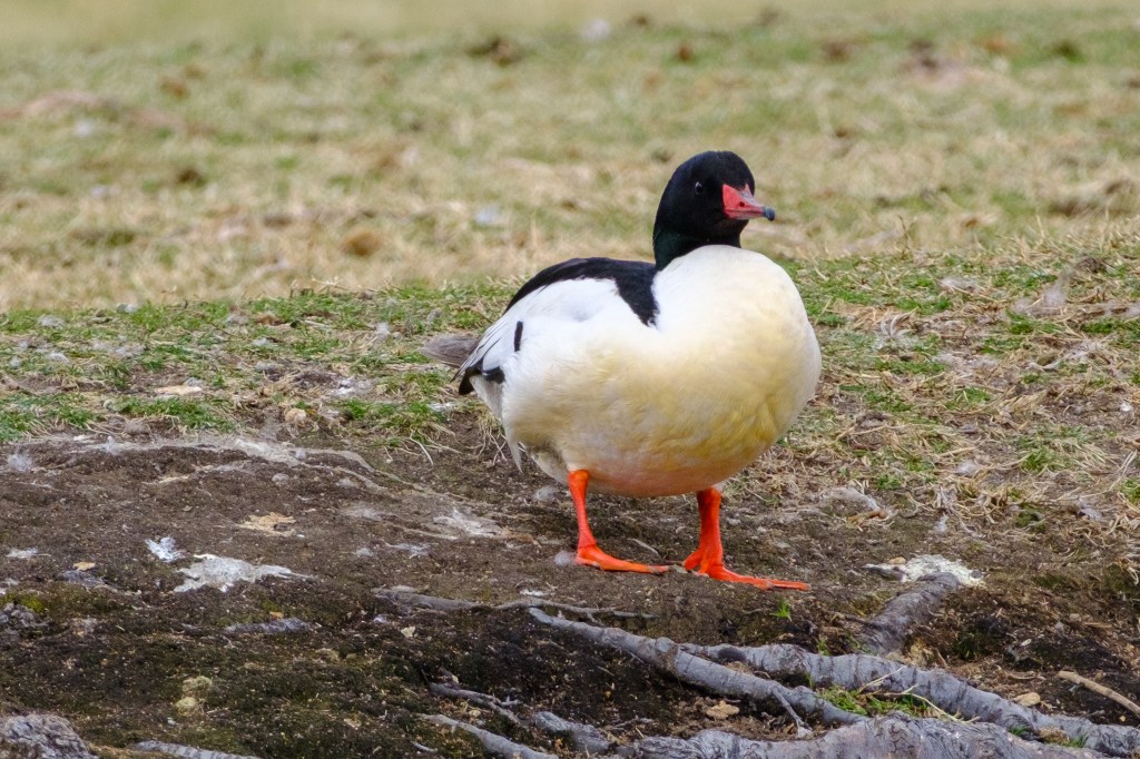
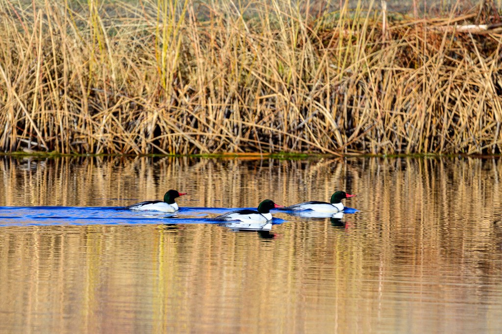
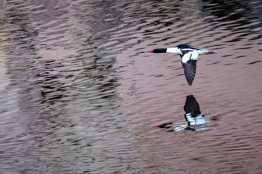
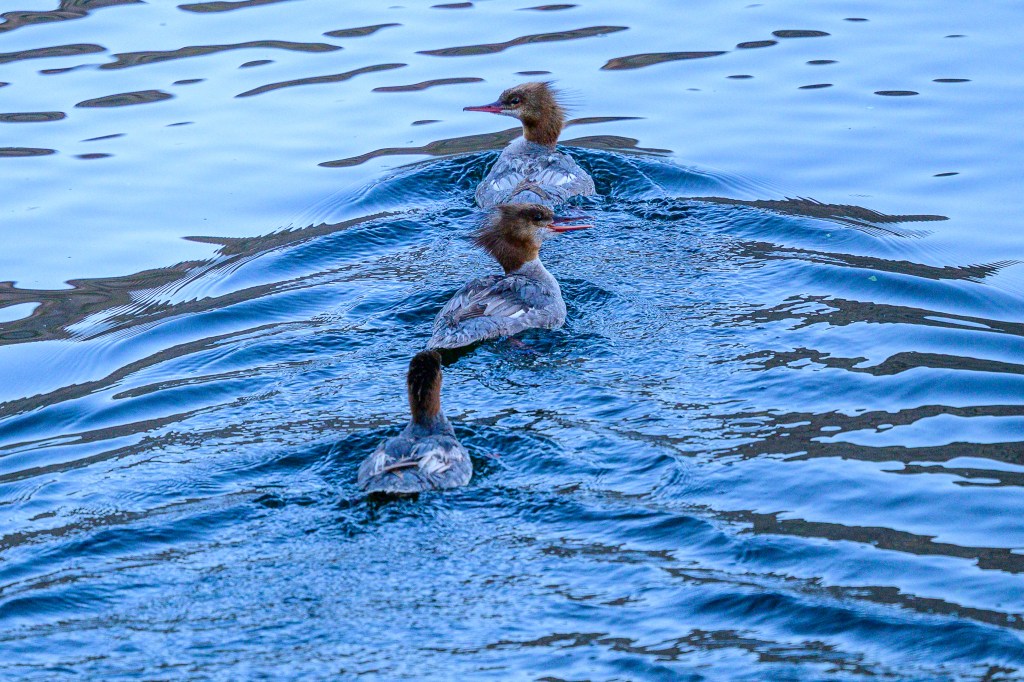
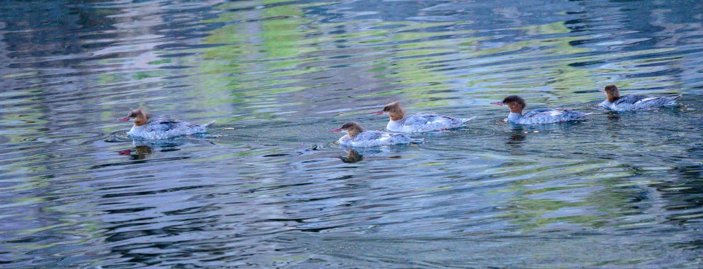
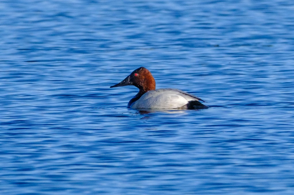
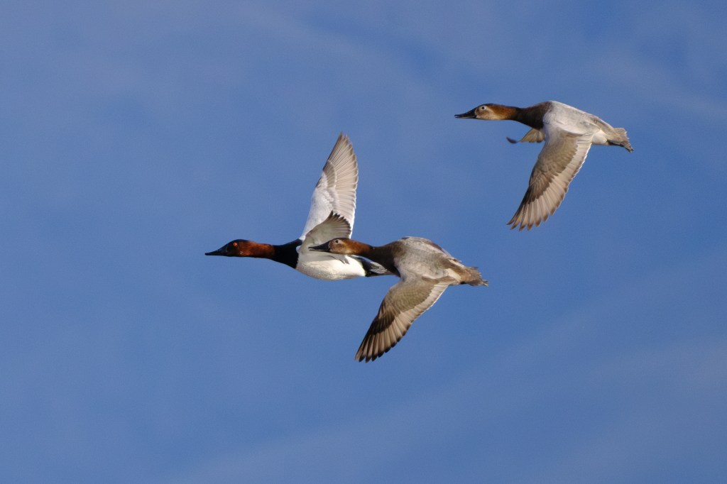
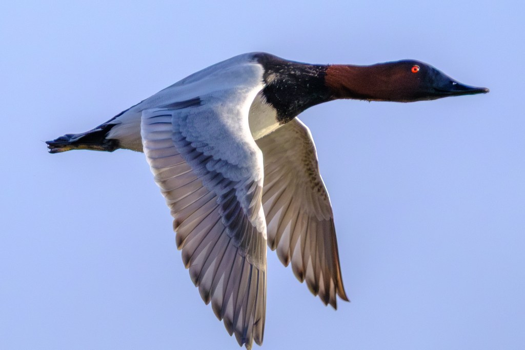
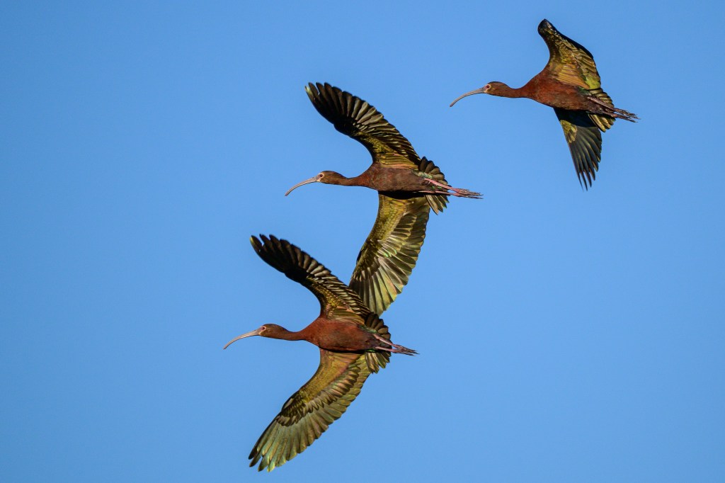
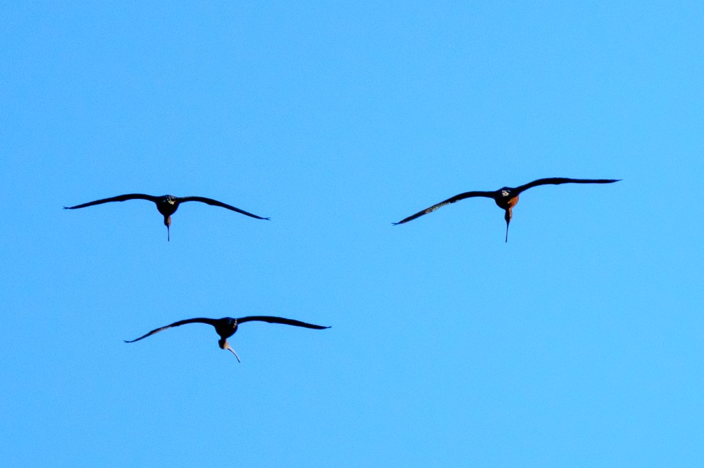
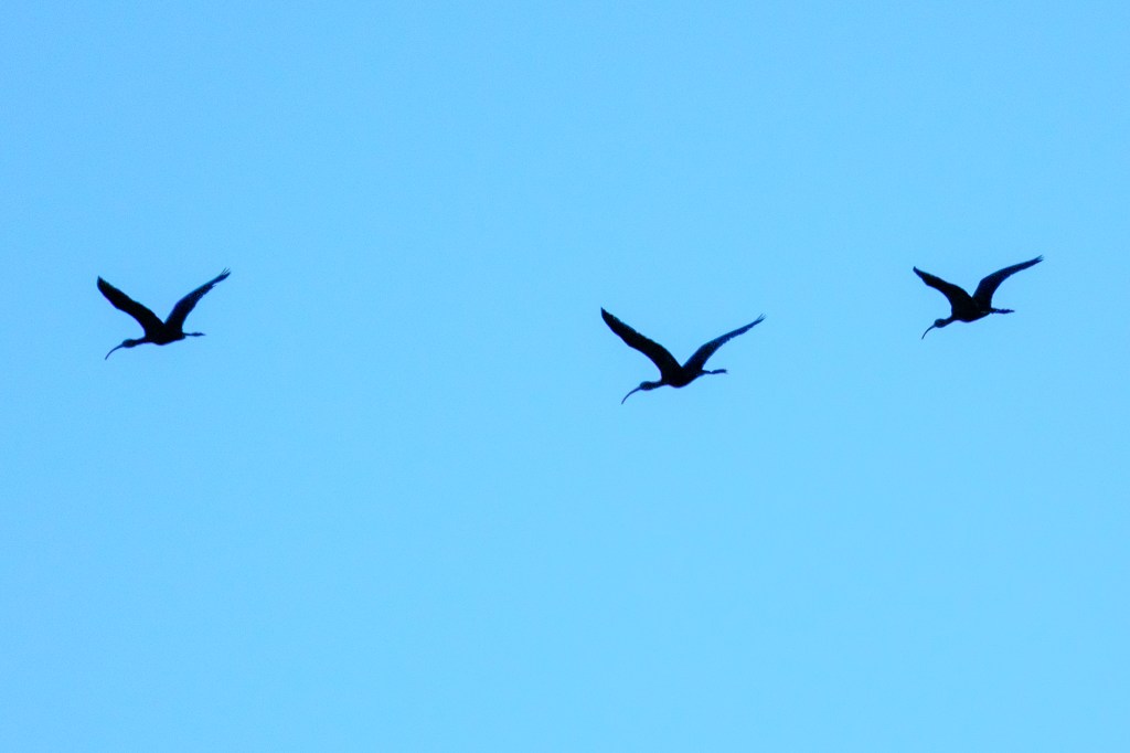
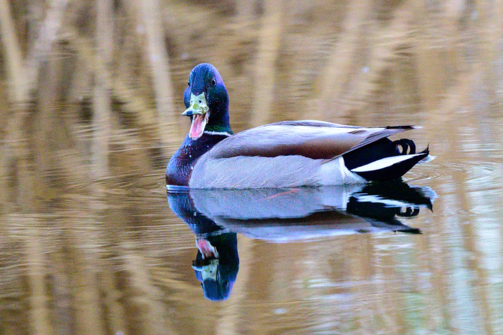
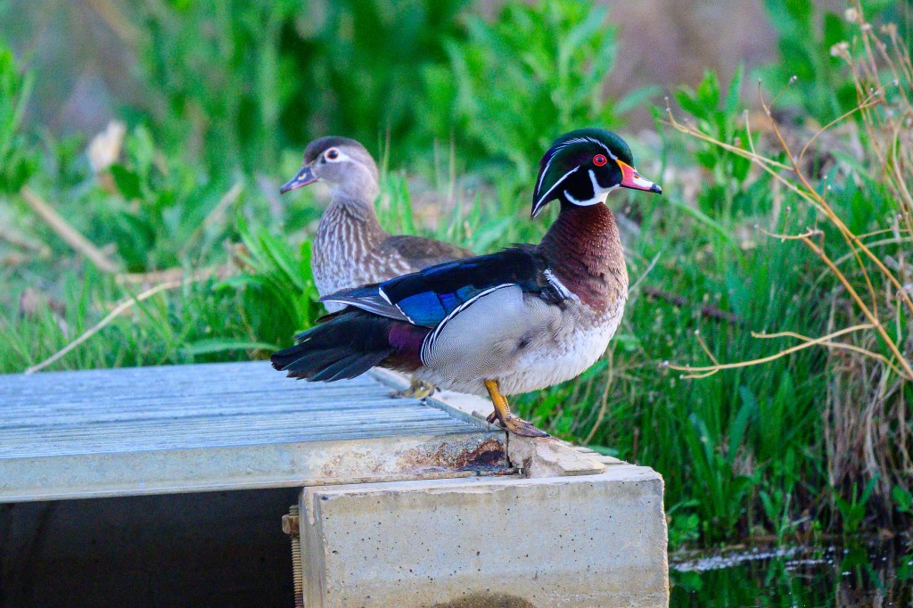
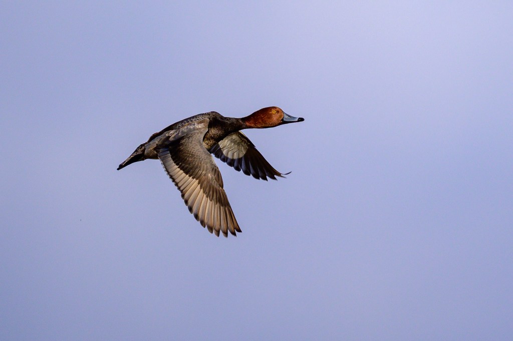
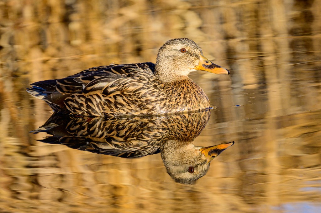
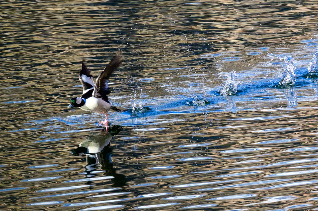
Ducks
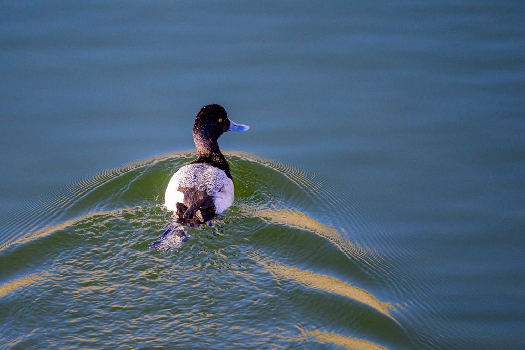
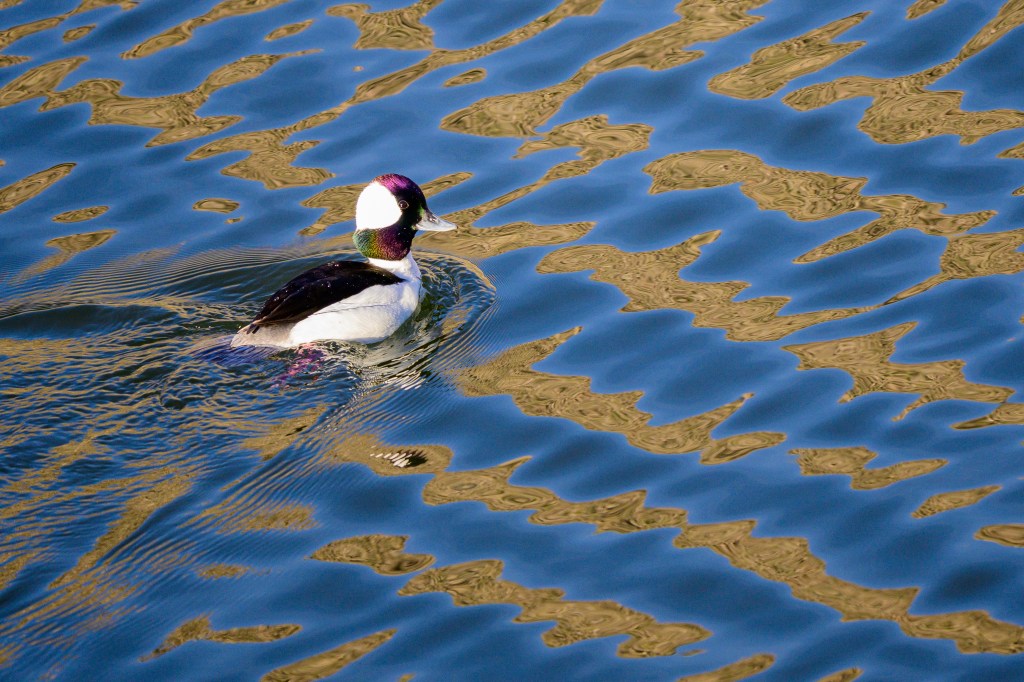
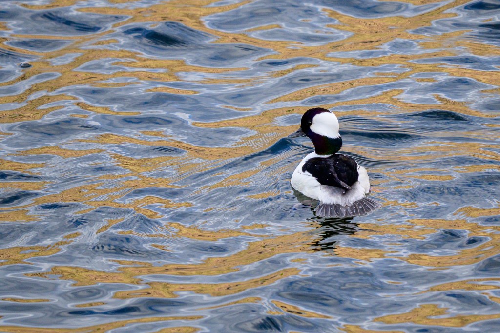
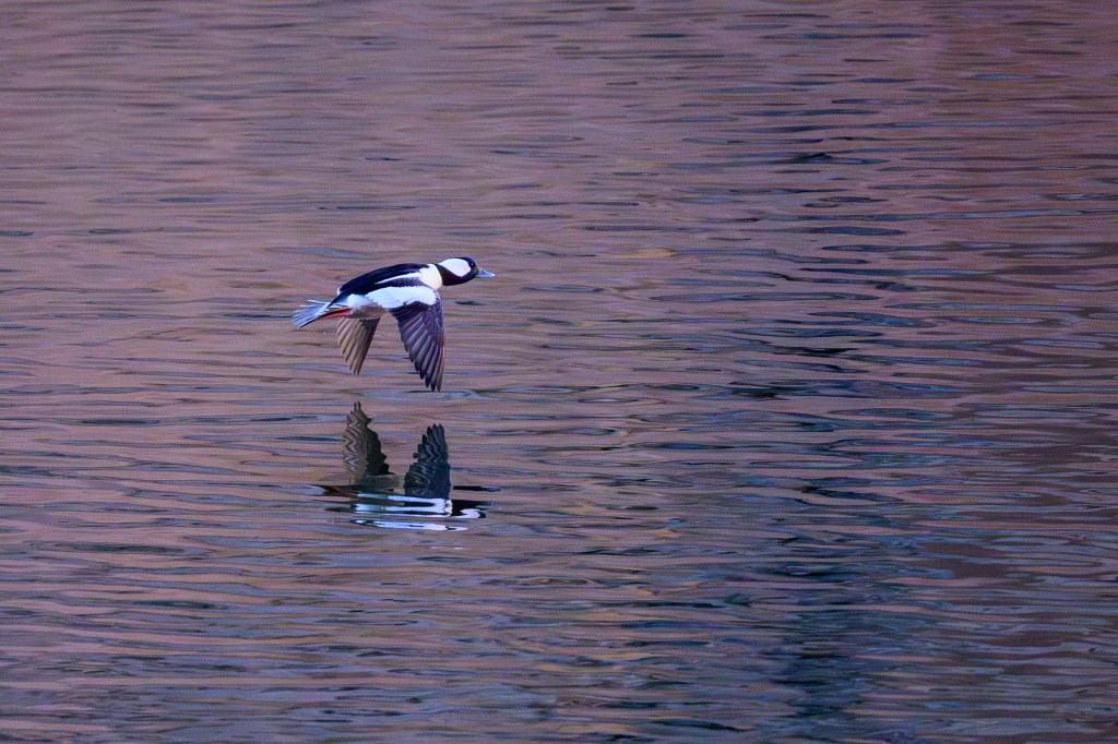
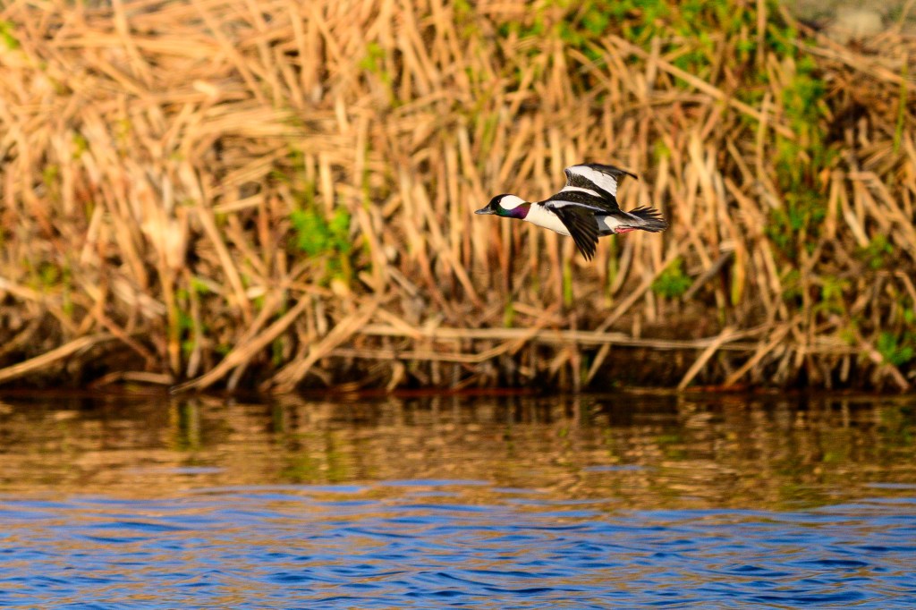
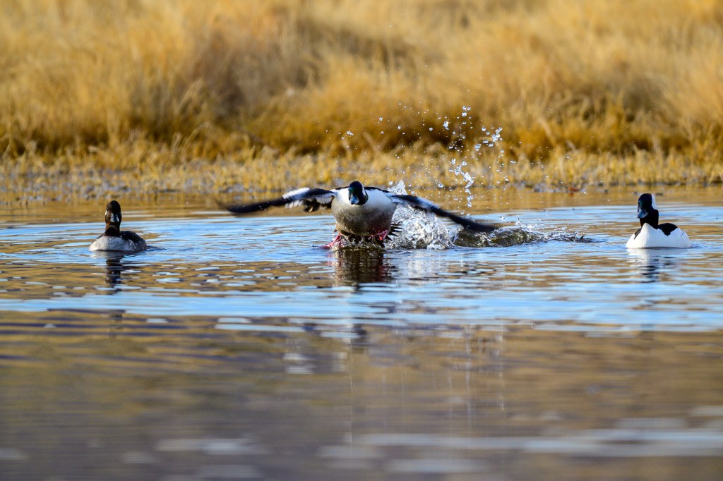
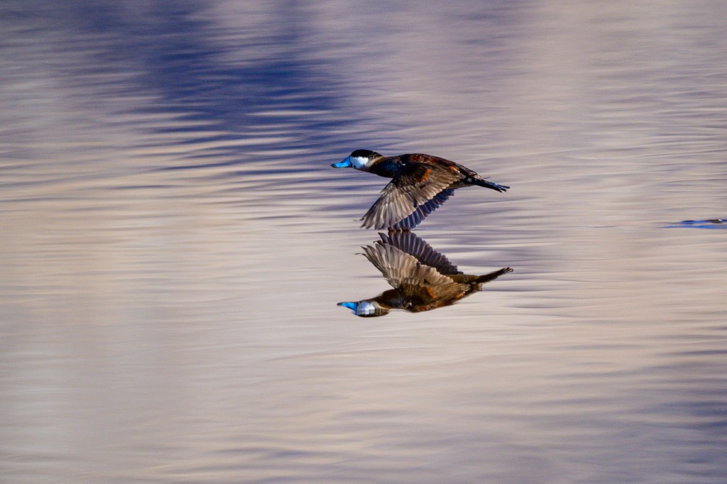
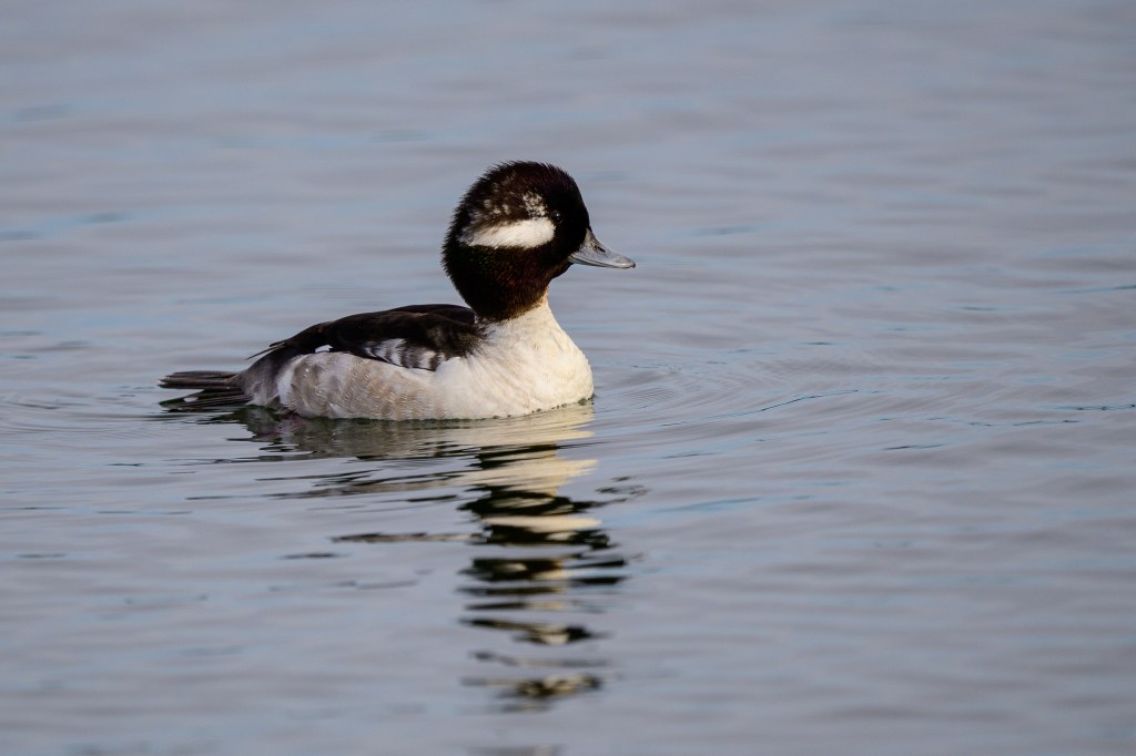
There were several duck species, including a Bufflehead:
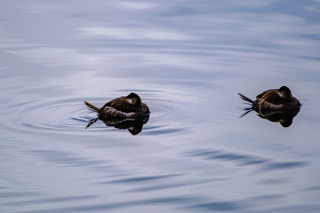
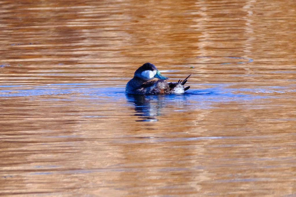
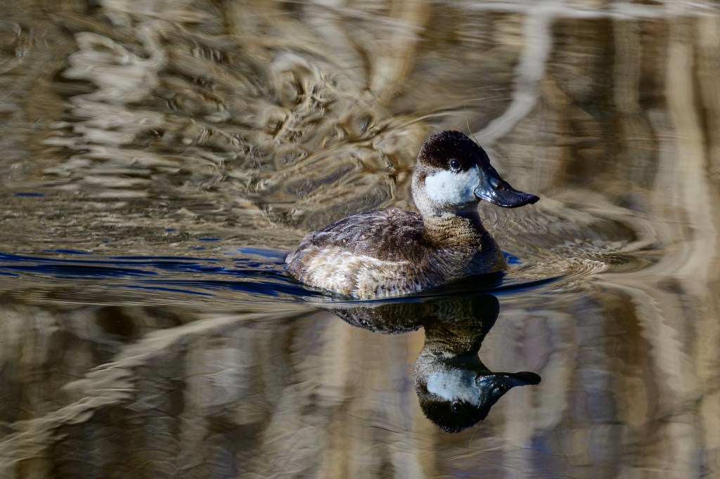
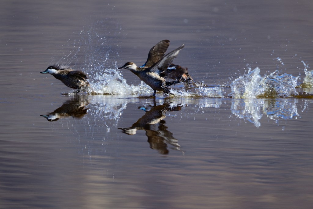
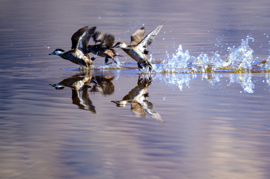
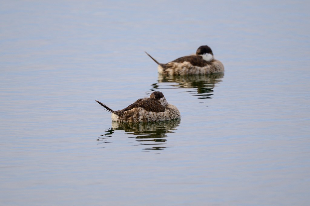
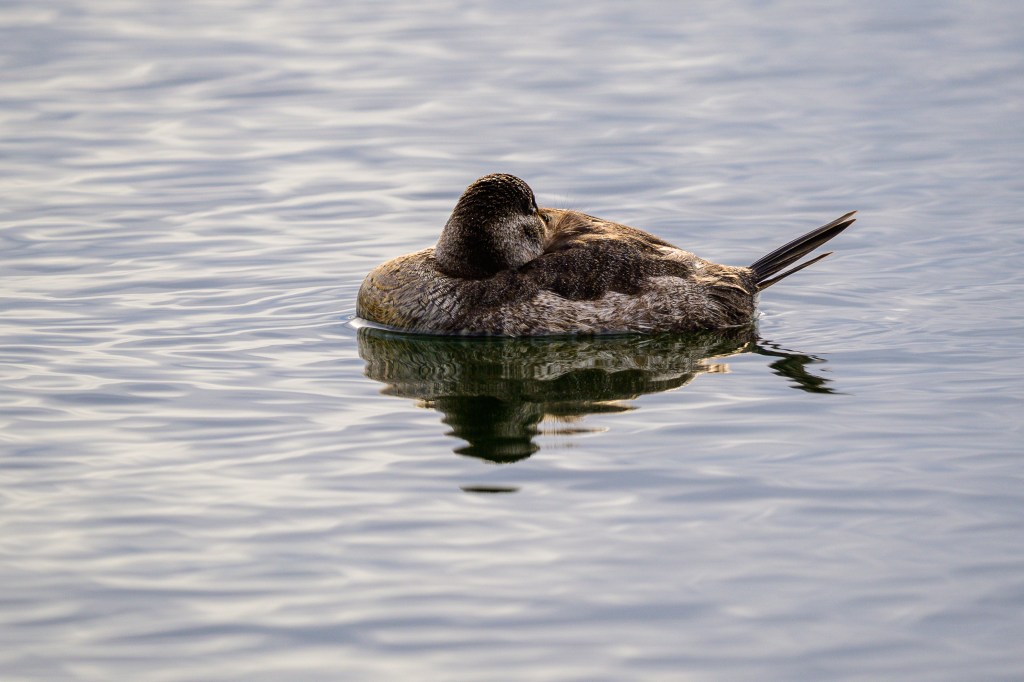
Ruddy Ducks, which I always describe as a bowl of noodles with chopsticks sticking out:
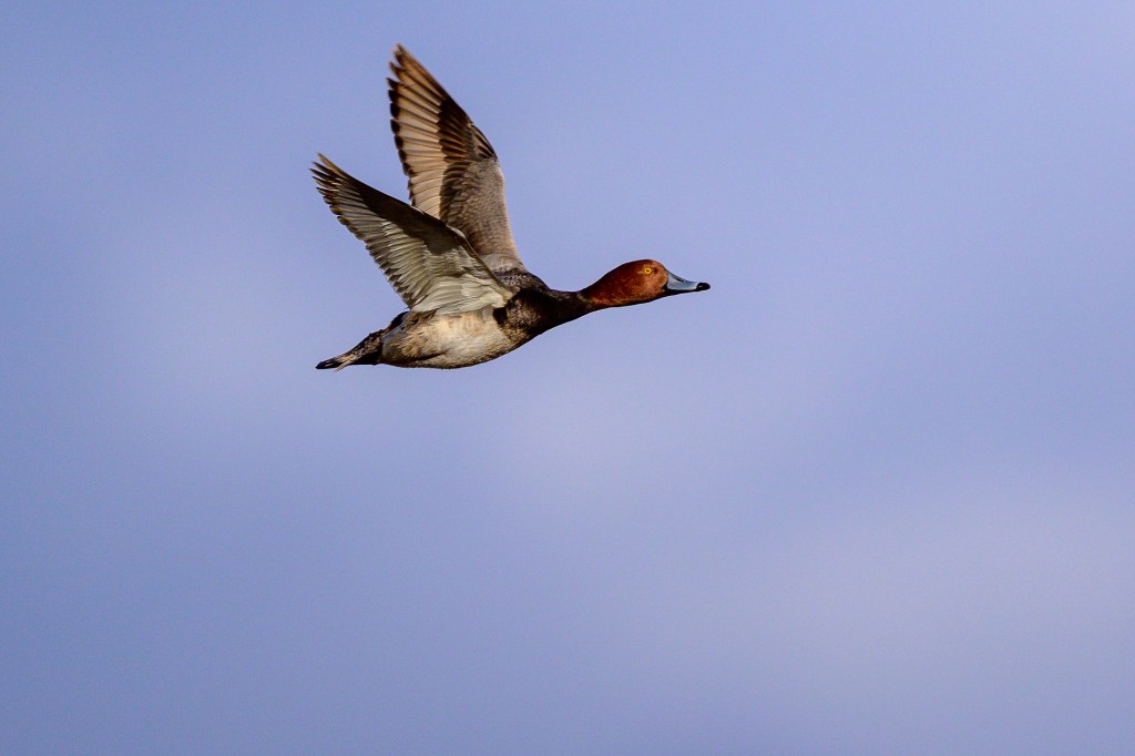
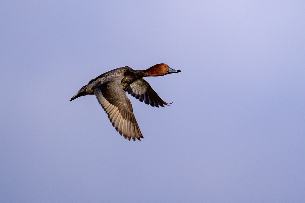
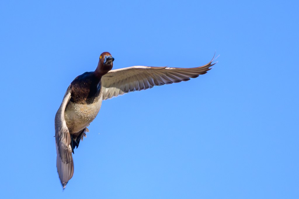
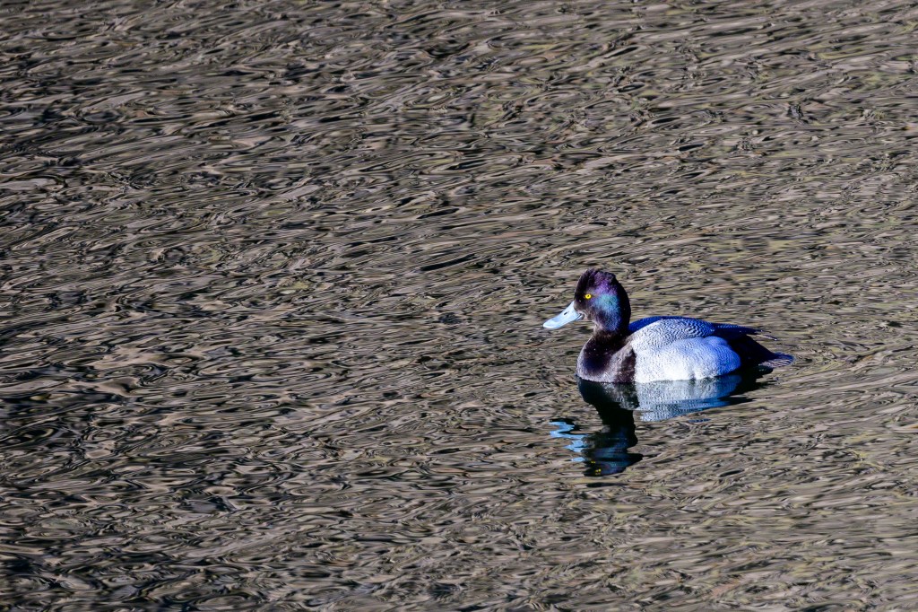
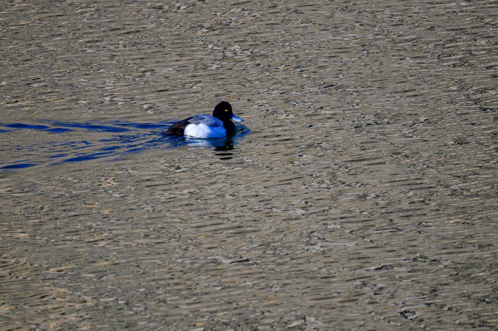
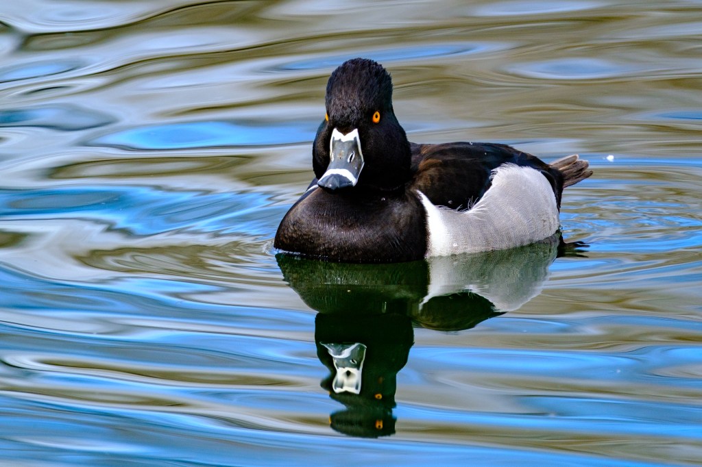
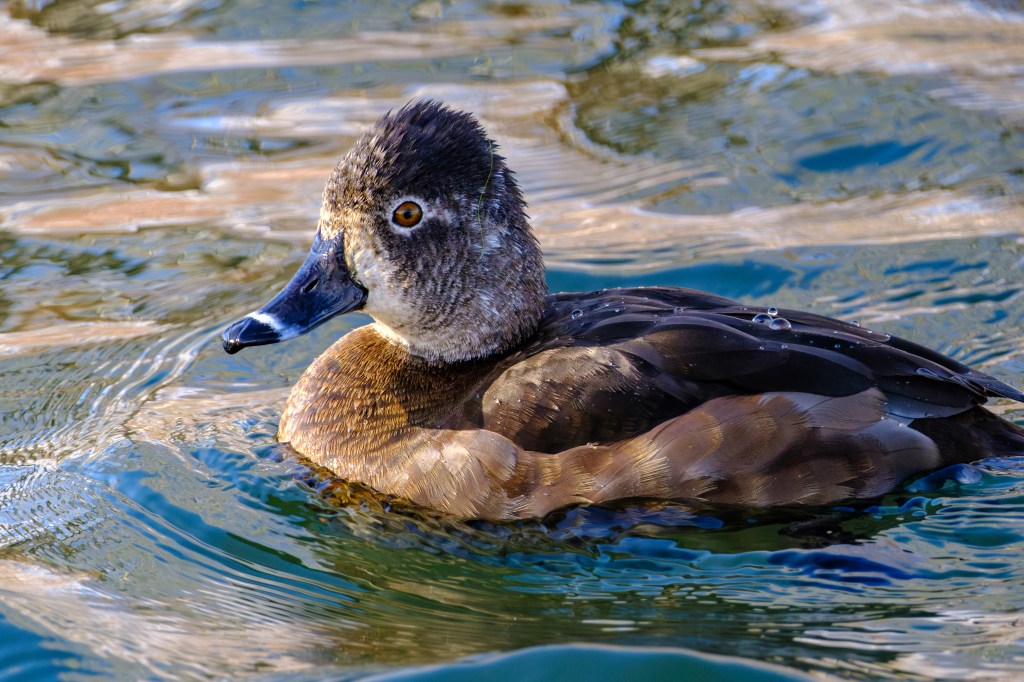
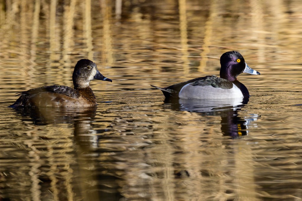
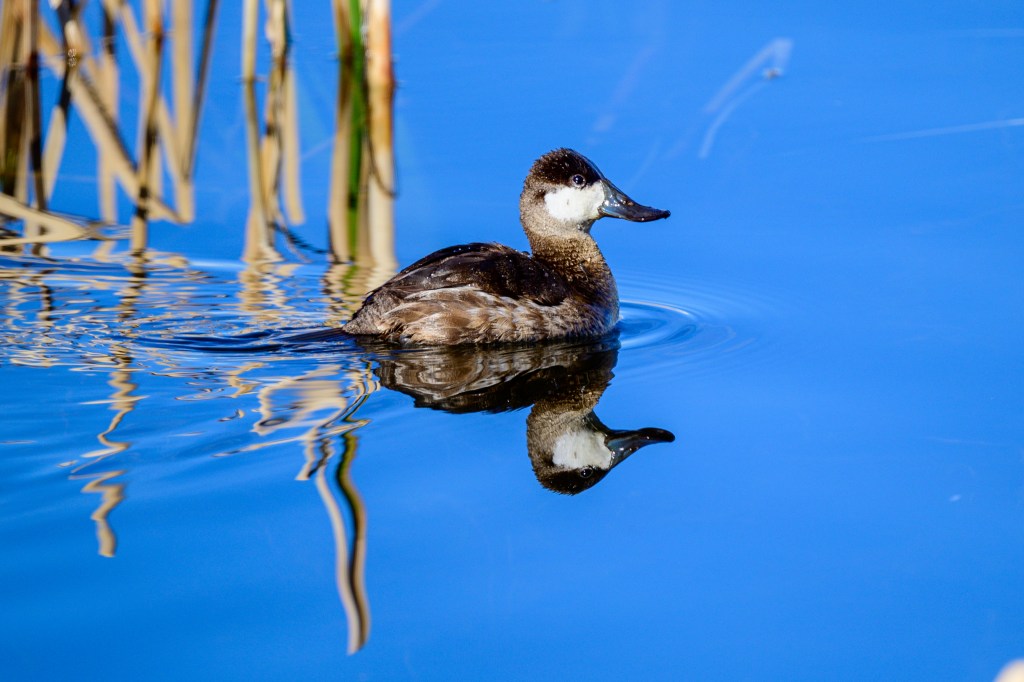
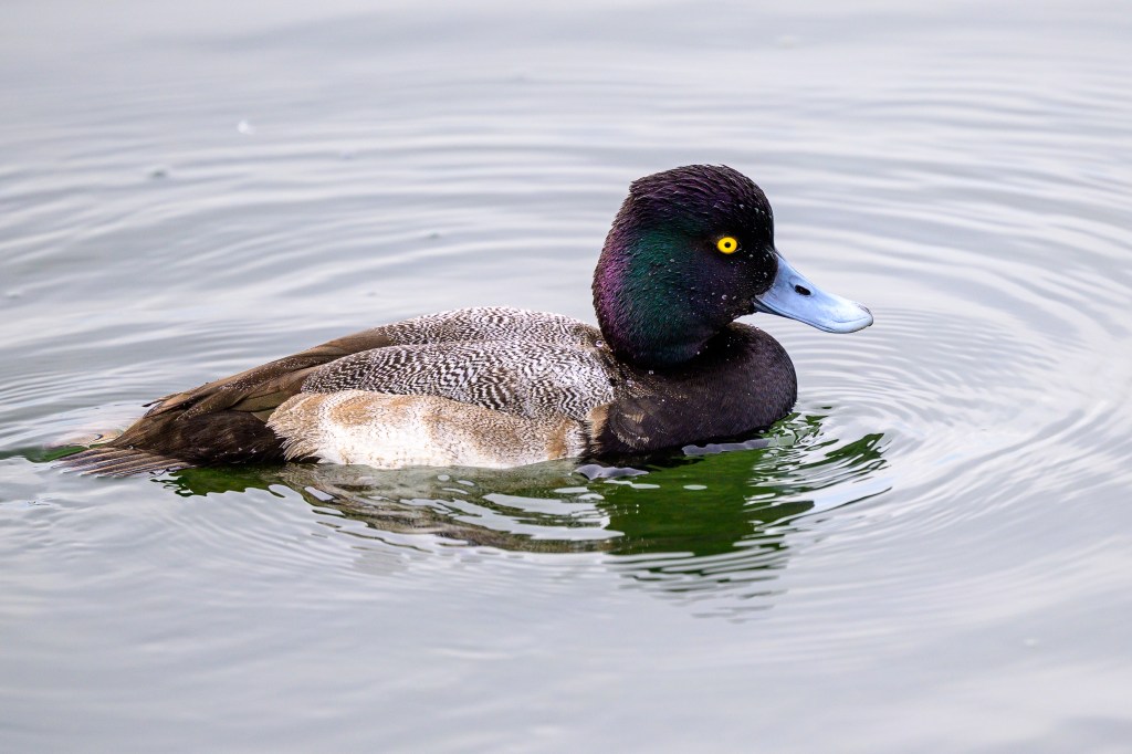
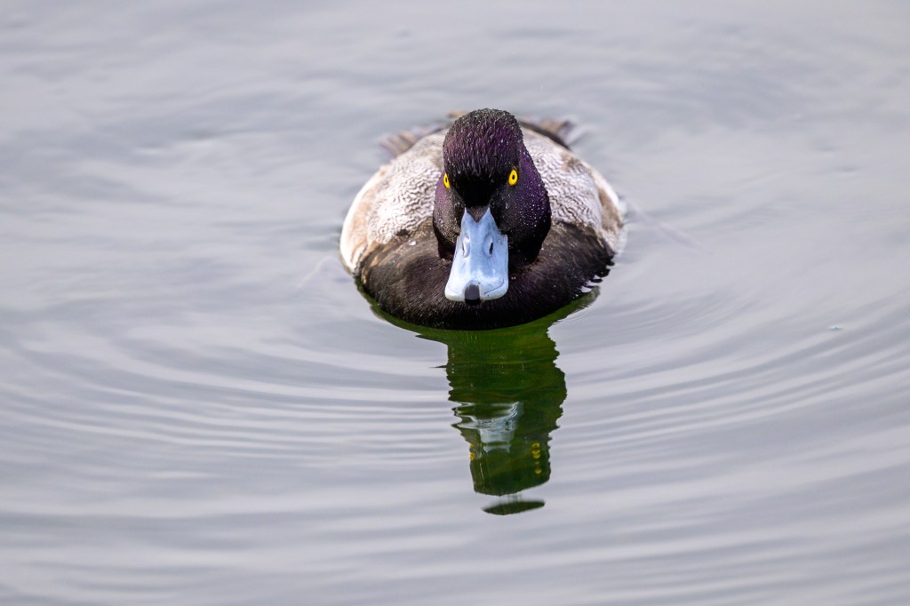
A few Lesser Scaups:
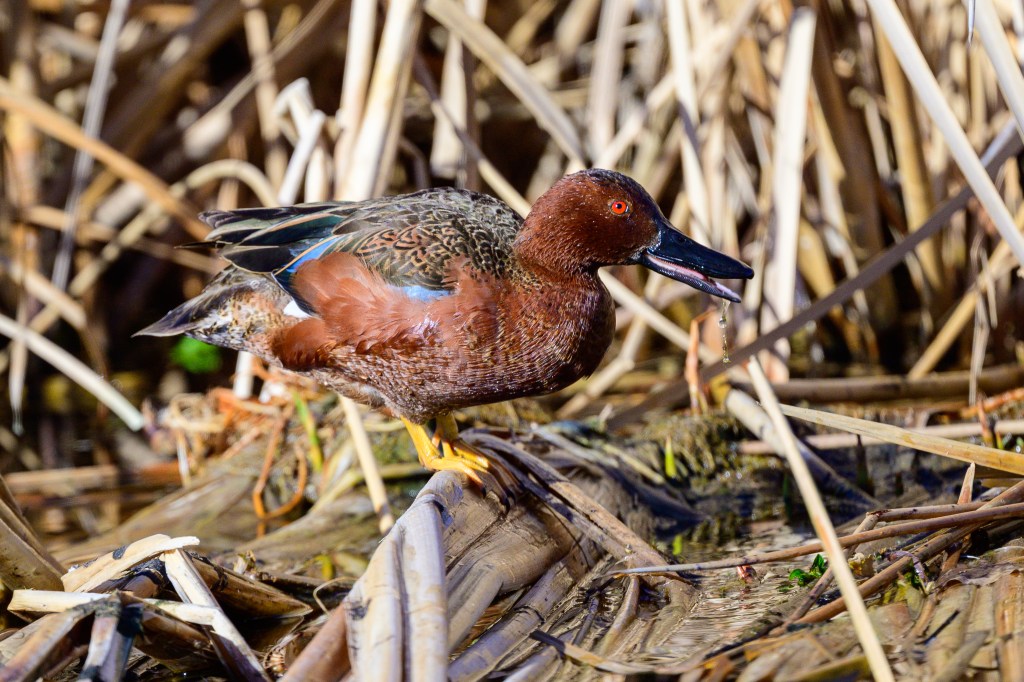
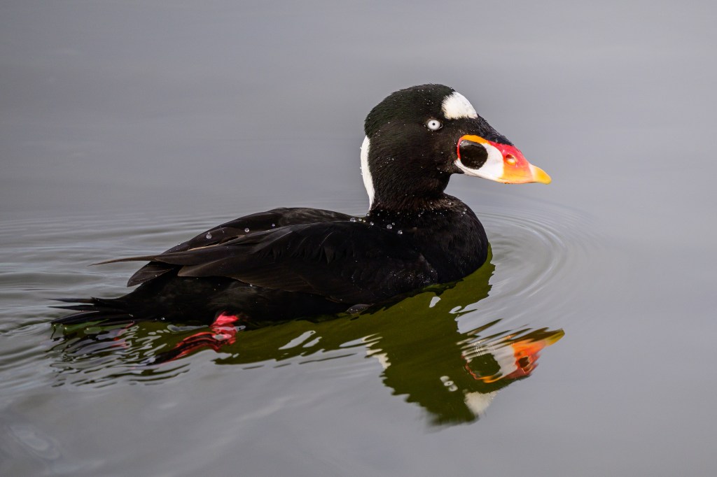
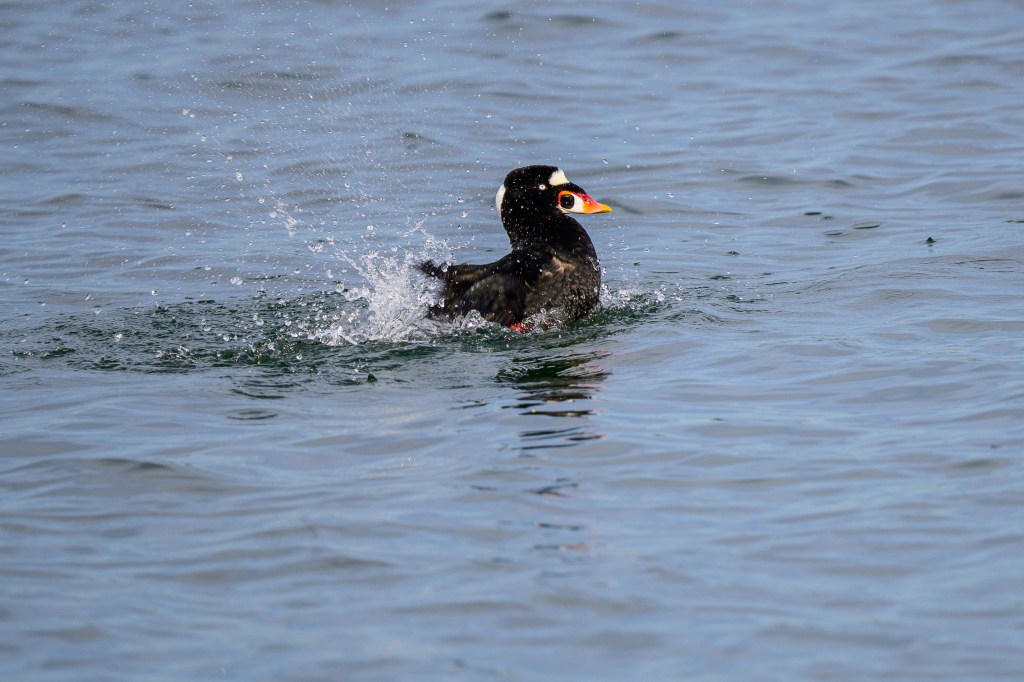
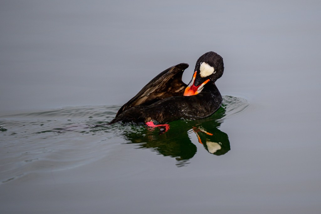
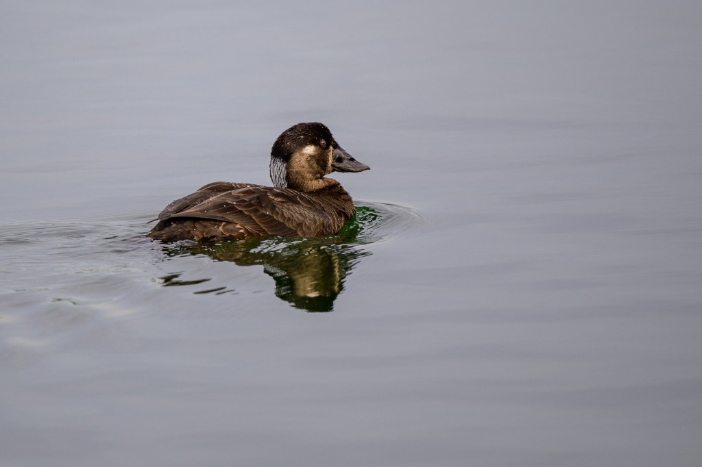
Surf Scoters were cruising about. Males have a bill colored black, white, orange, red, and yellow. The female has a black bill.
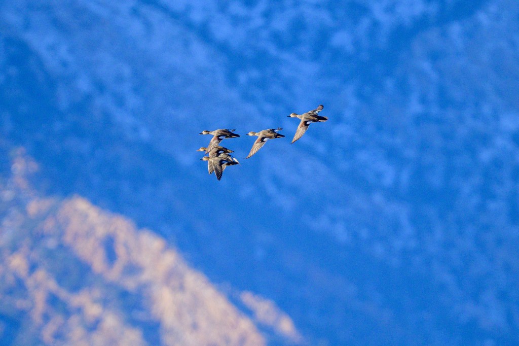
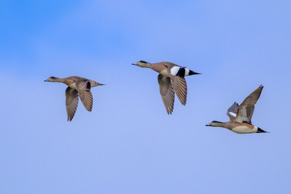
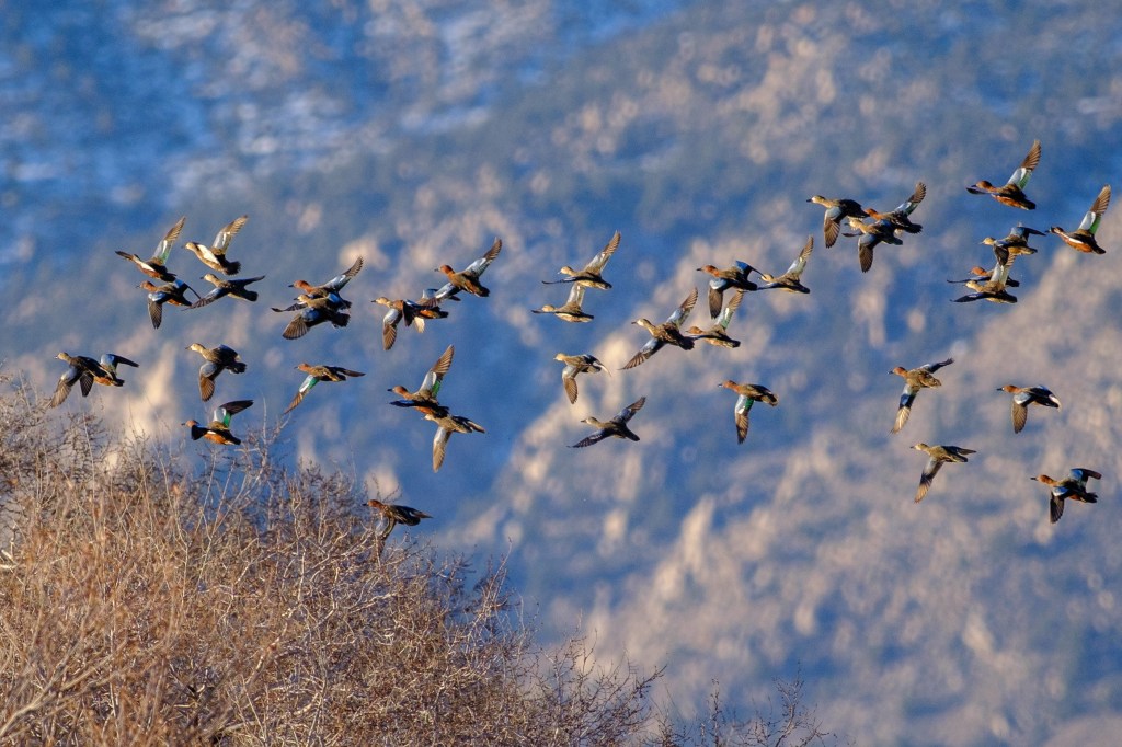
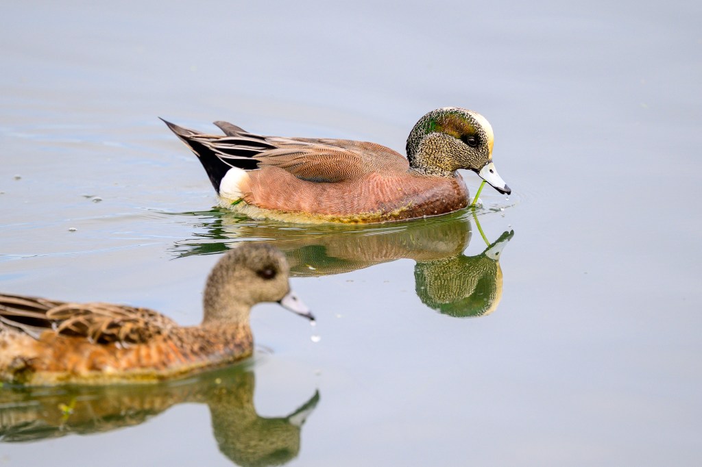
Several American Wigeons appeared:
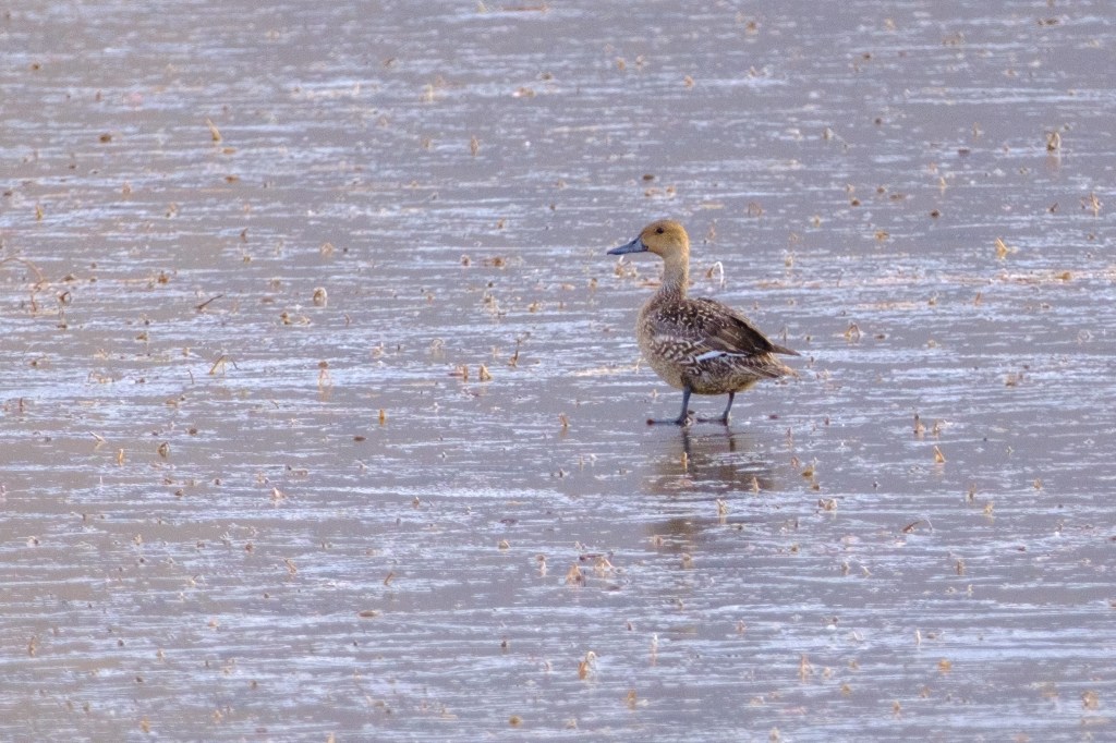
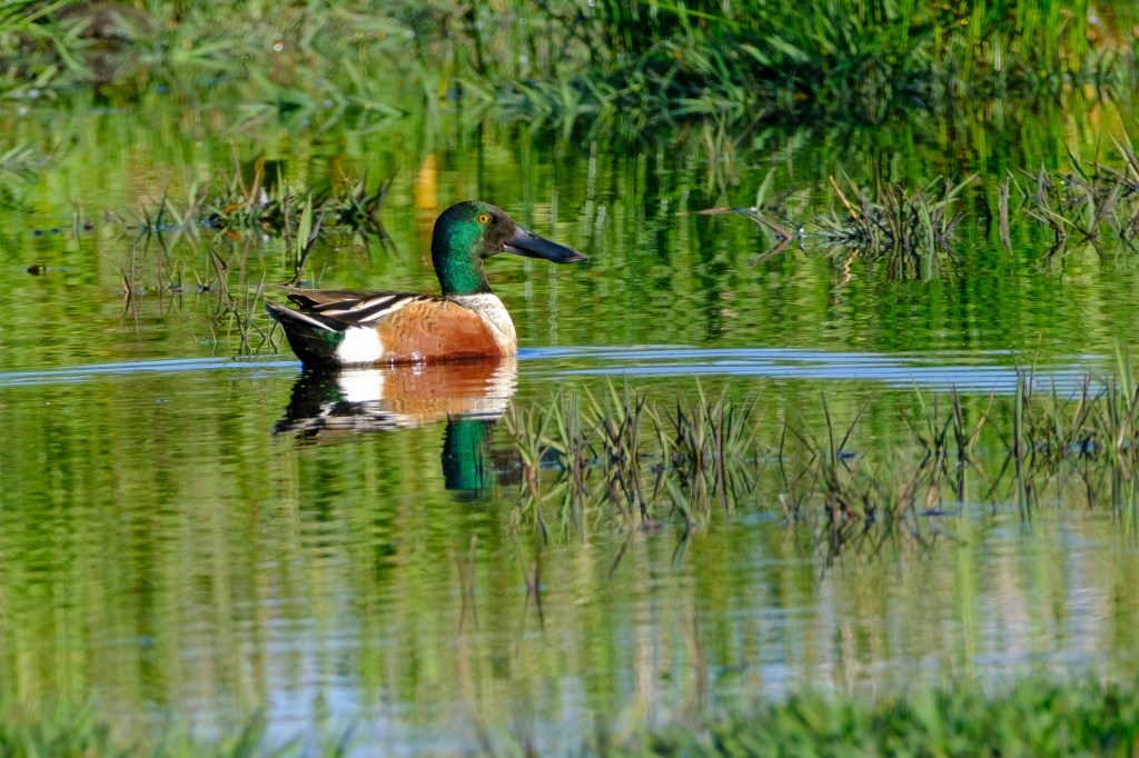
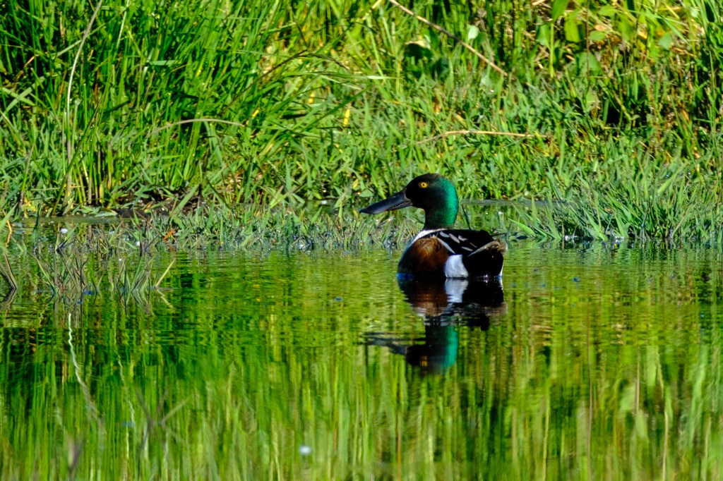
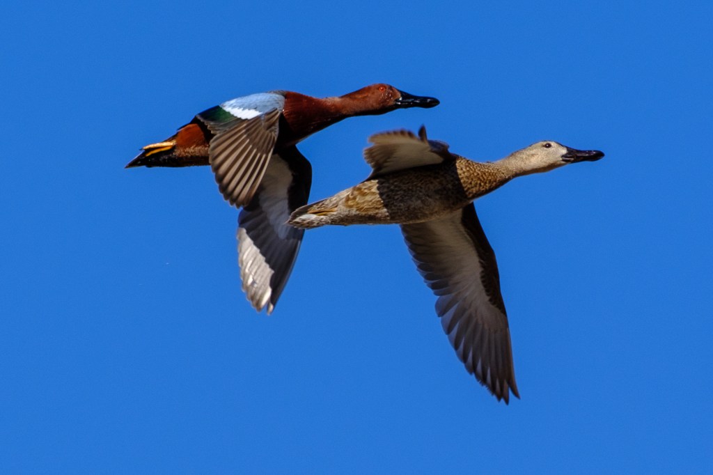
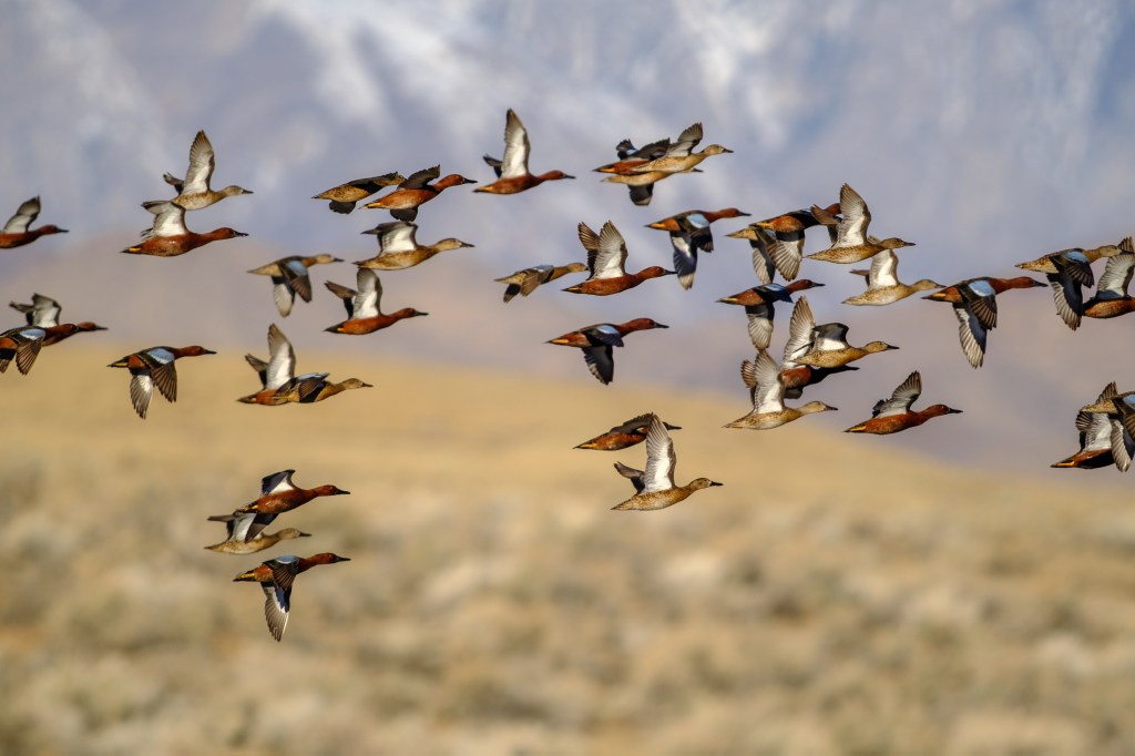
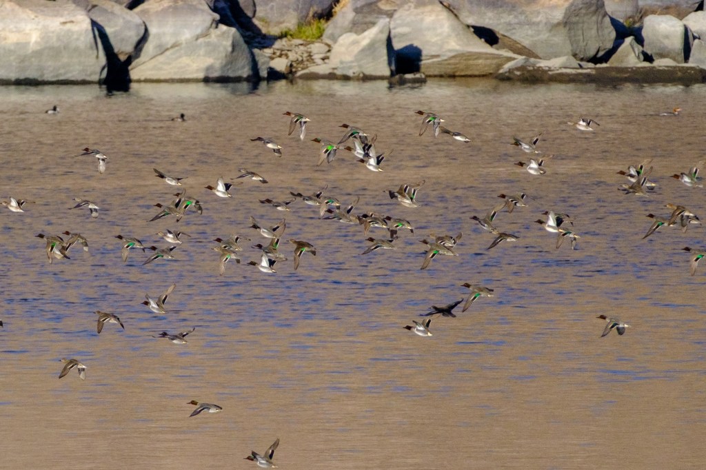
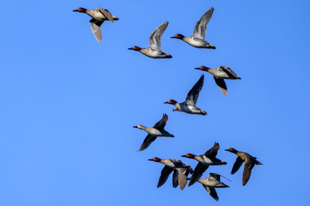
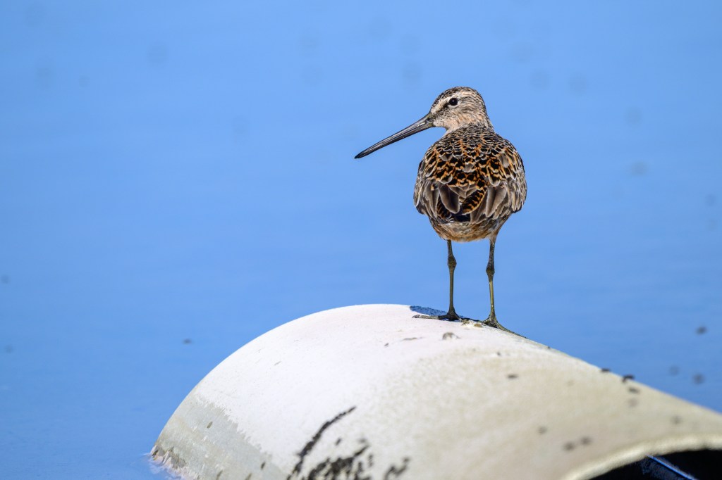
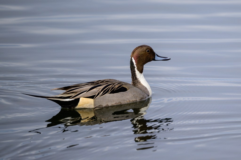
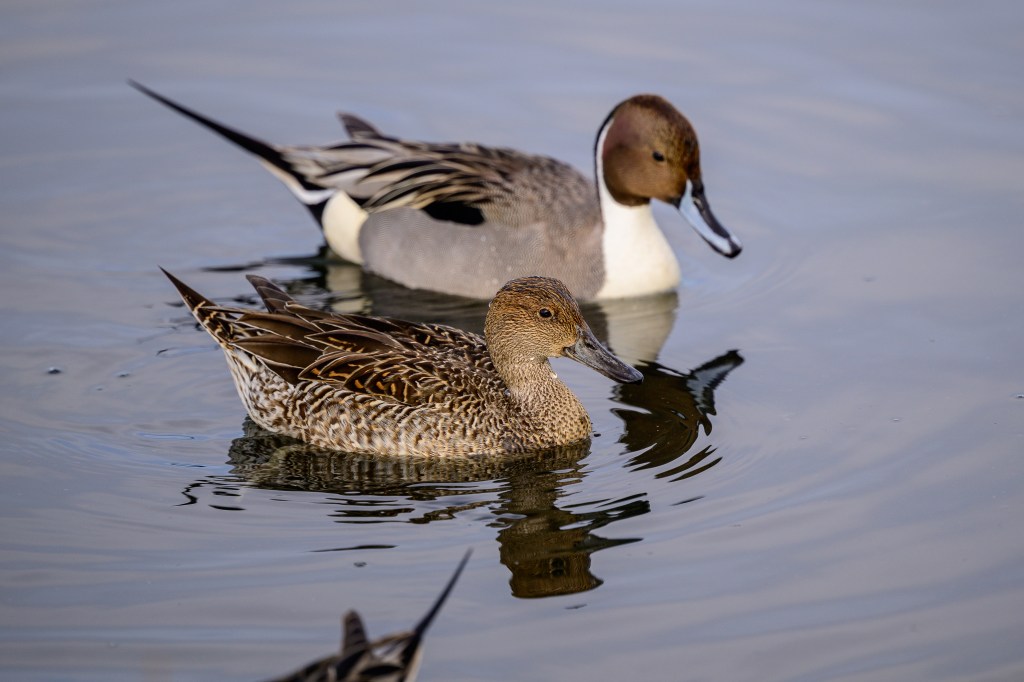
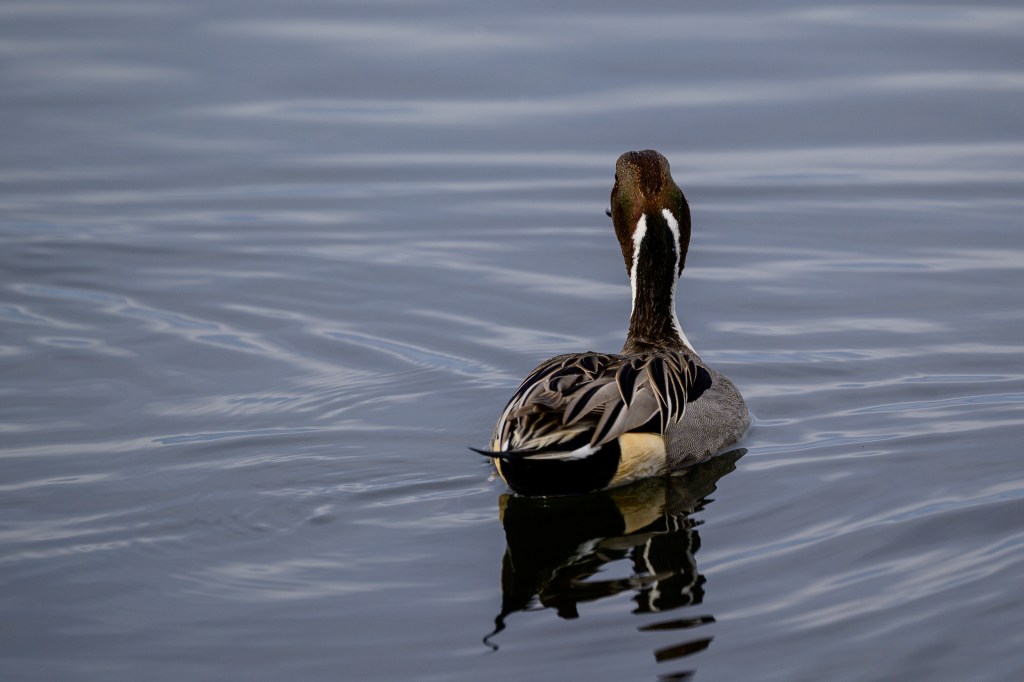
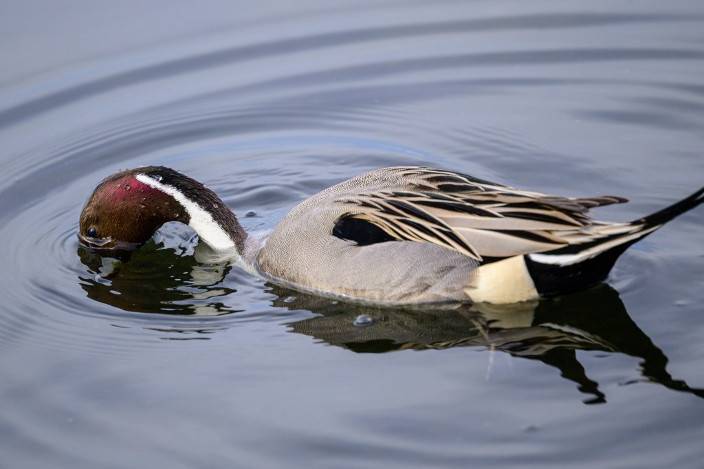
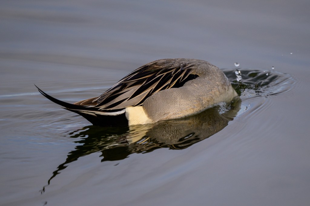
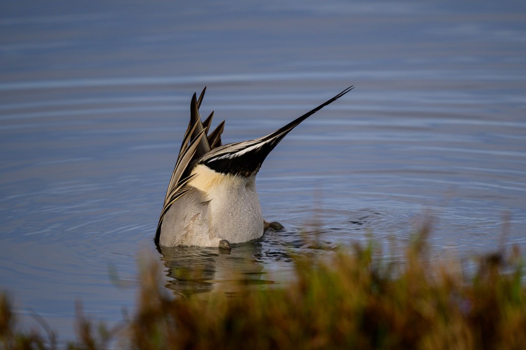
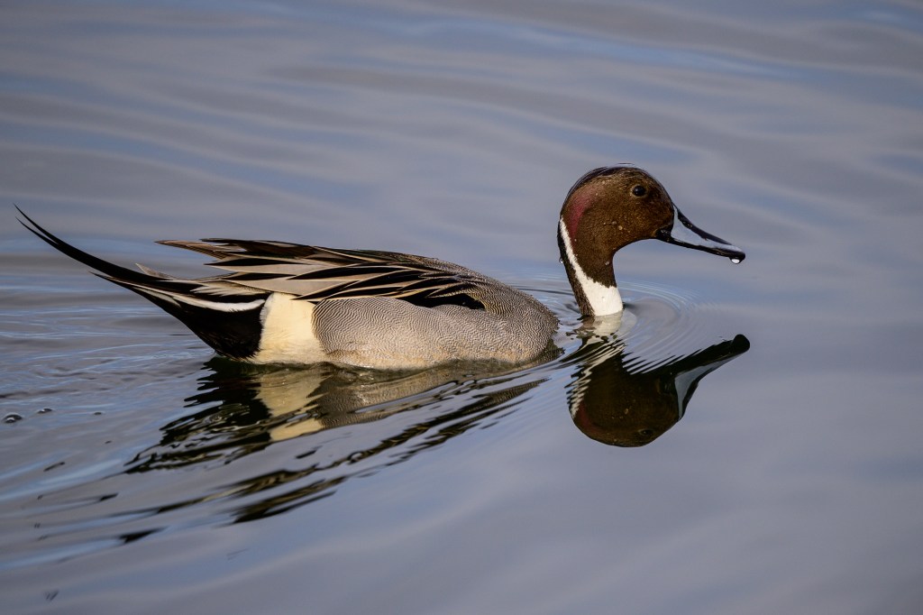
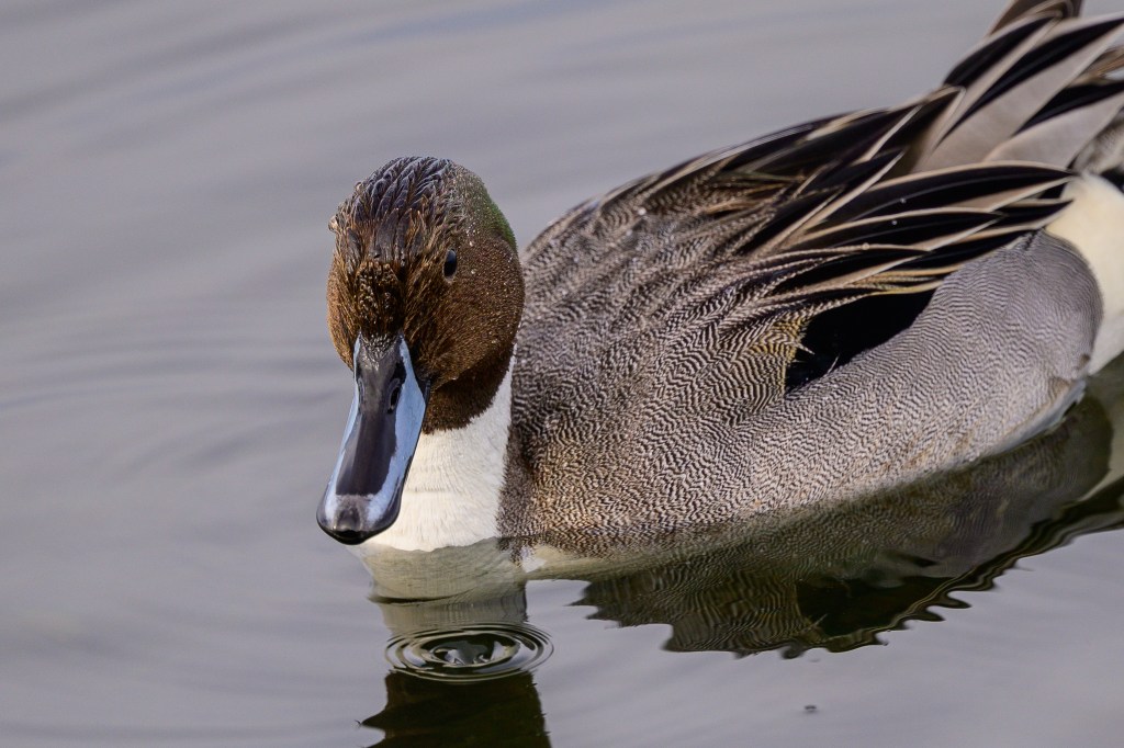
Northern Pintails are common migrants in Inyo County, but I have had poor luck finding them. Some birders have reported as many as 800 of these ducks at Owens Lake. At Bolsa Chica, I had the opportunity to collect images of this elegant duck; the males have striking colors. The reason for the name is obvious.

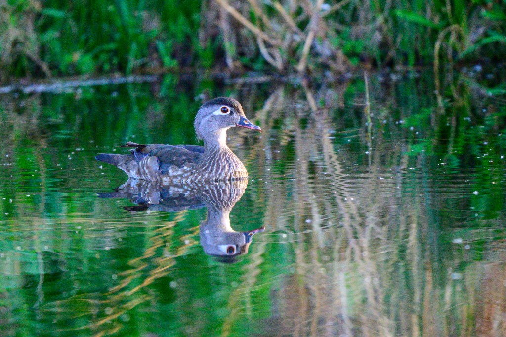
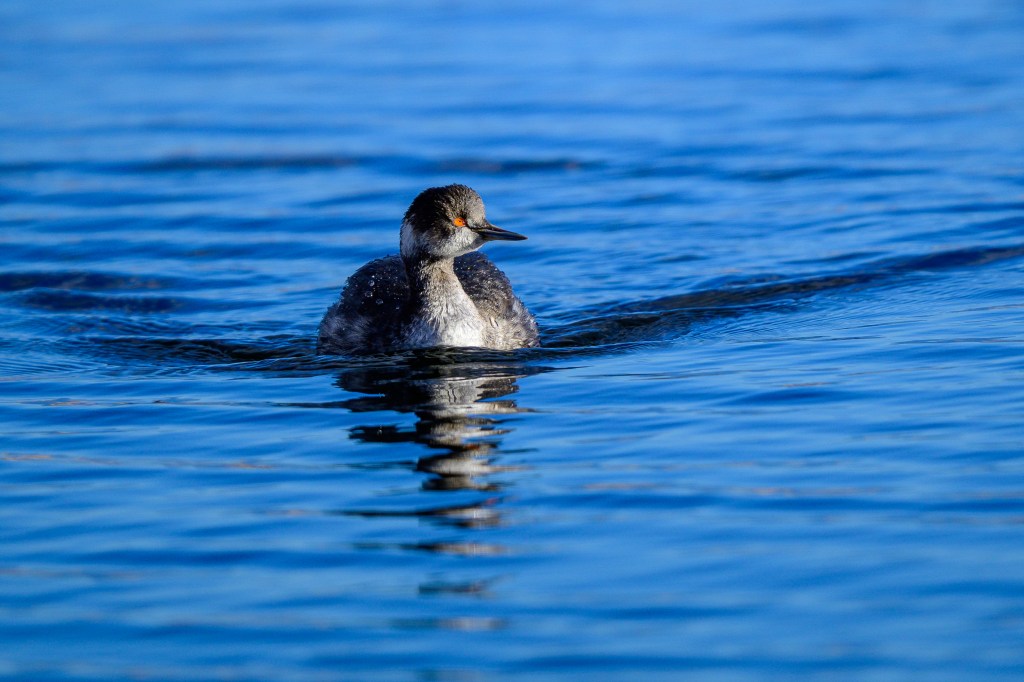
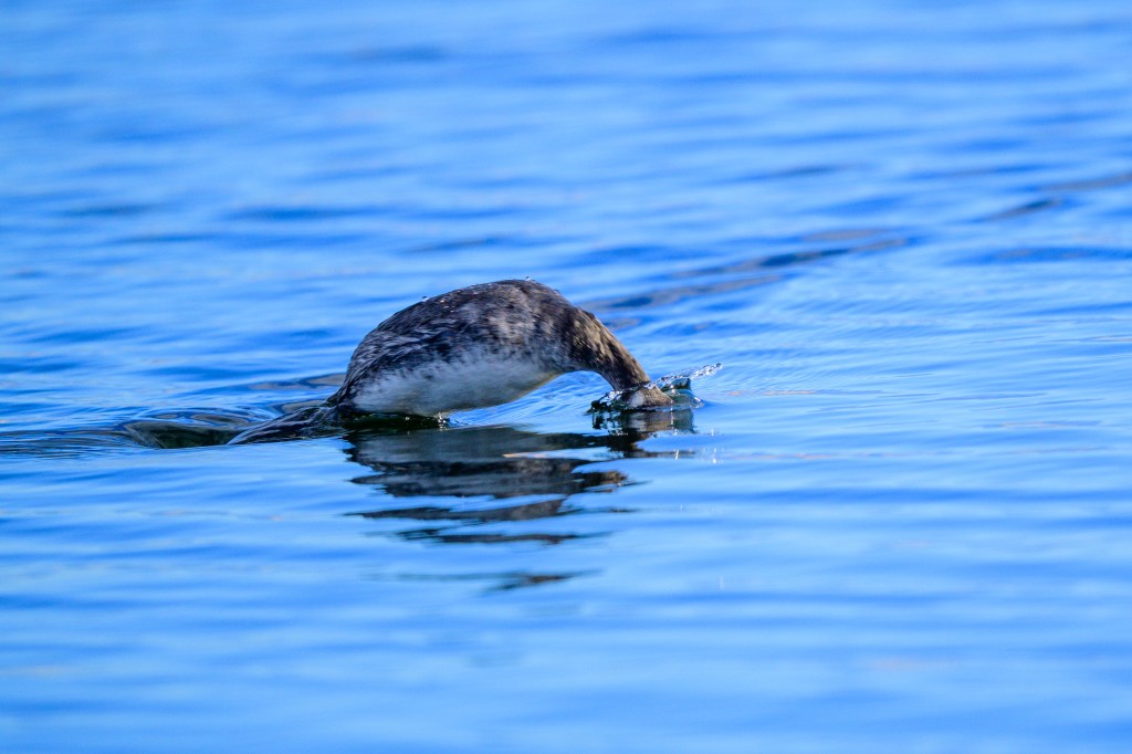
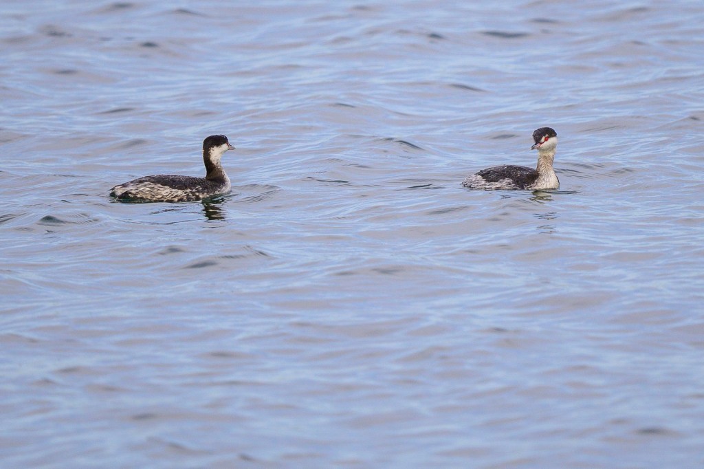
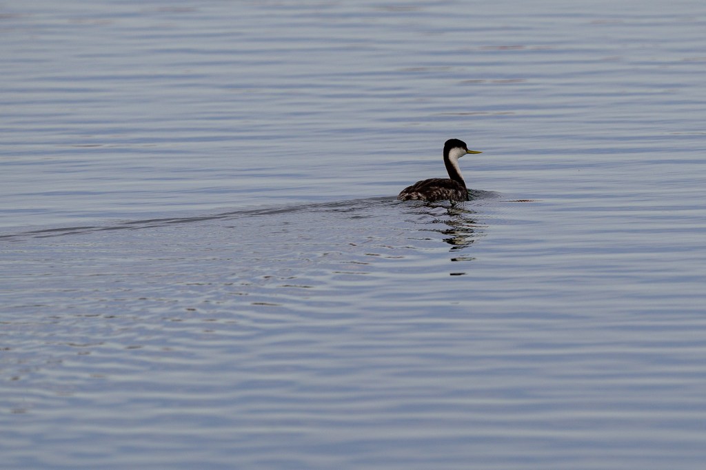
Grebes
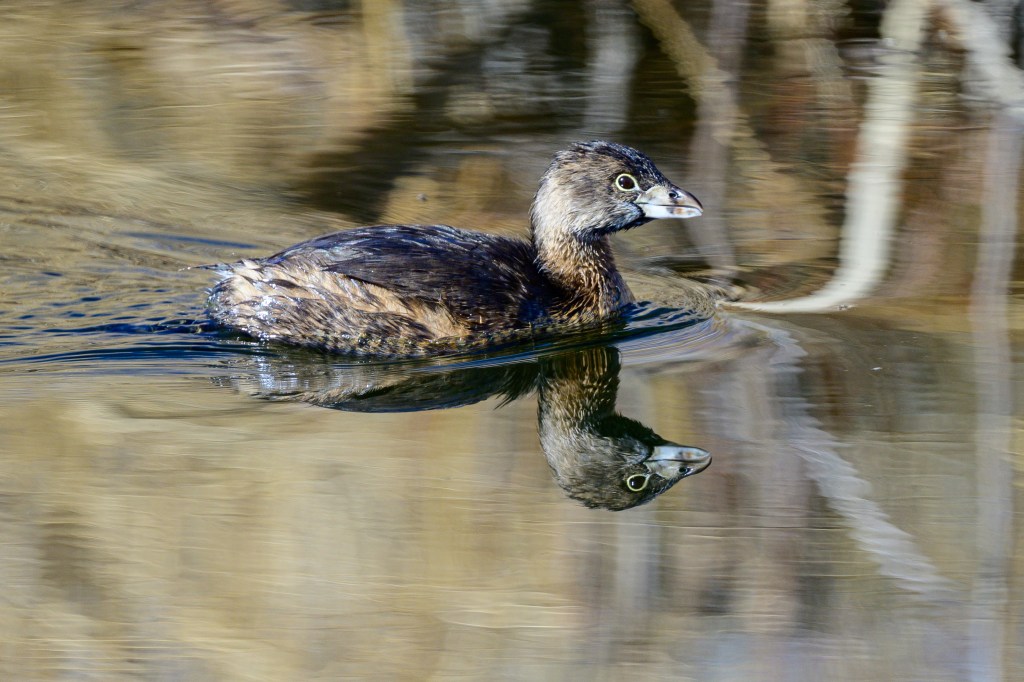
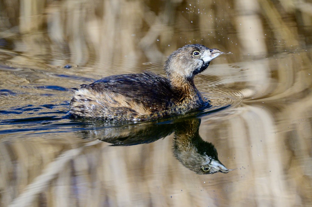
Several species of Grebe were present. A Pied-billed Grebe was very close:
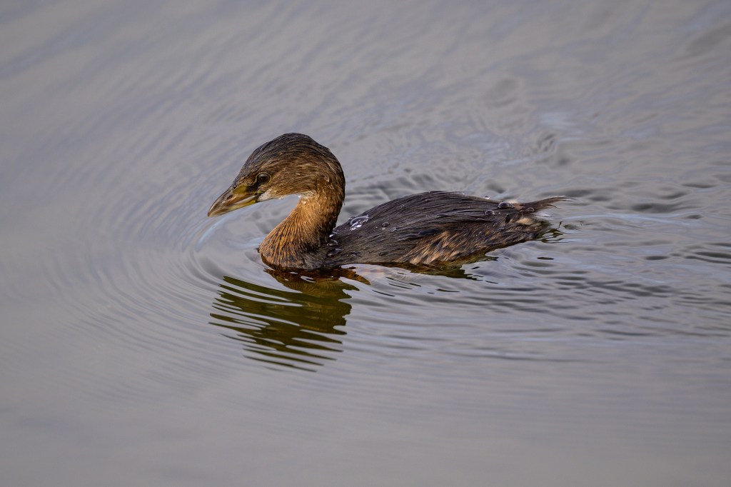
Horned Grebes were further away:
A Western Grebe was far off:
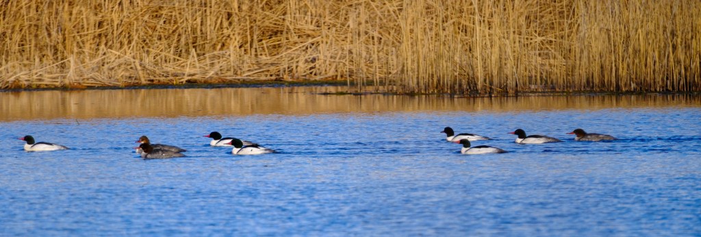
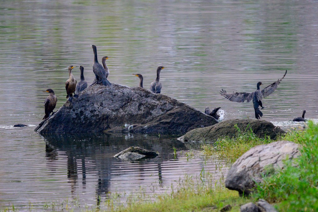
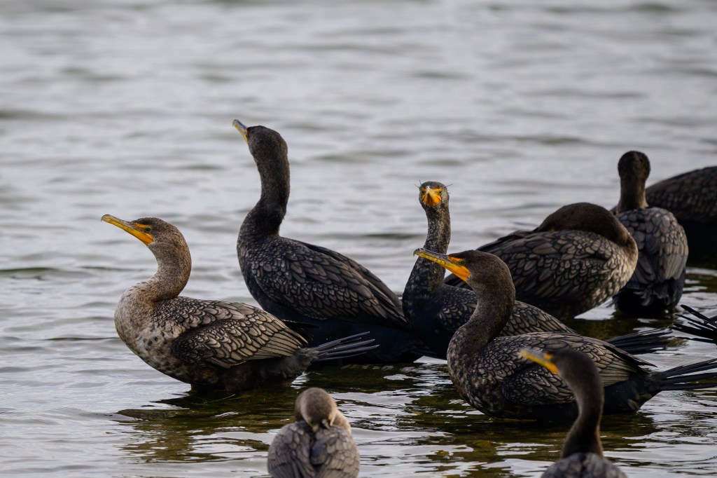
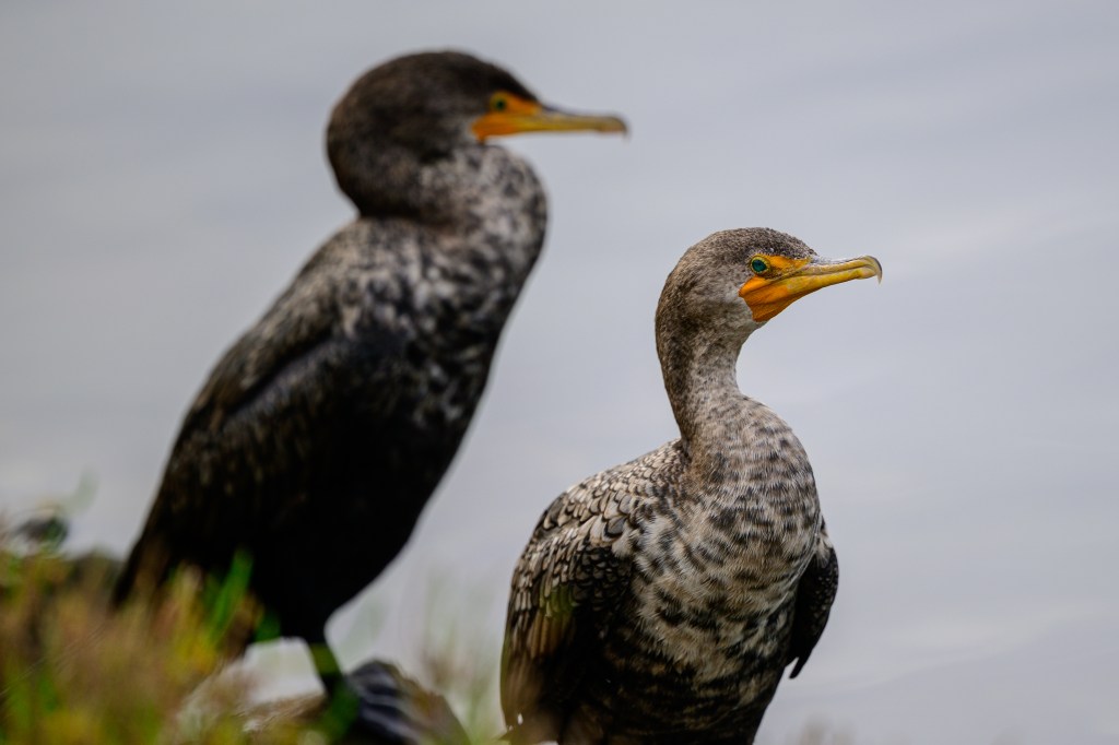
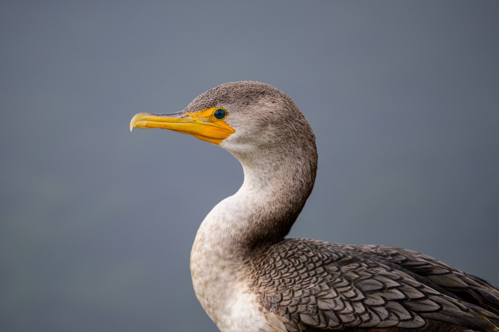
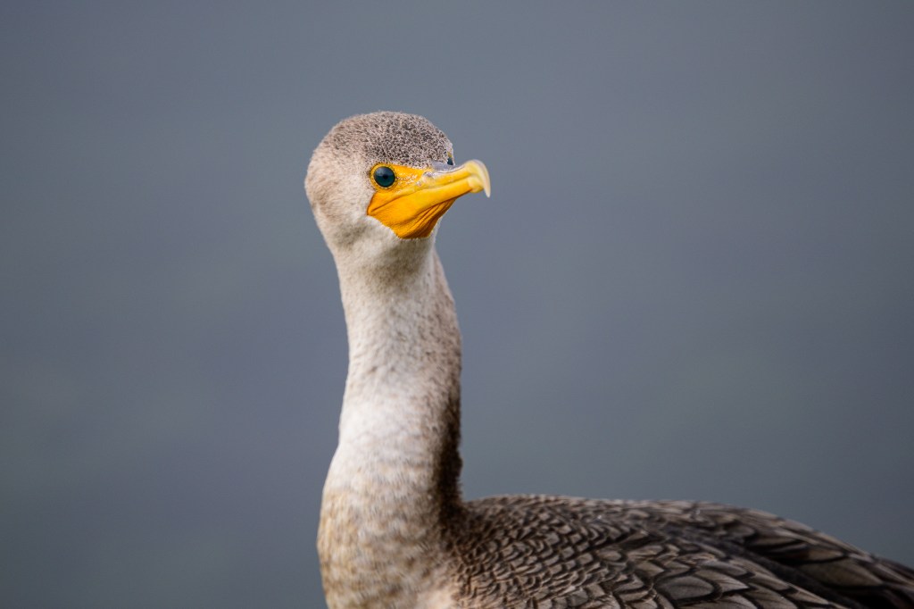
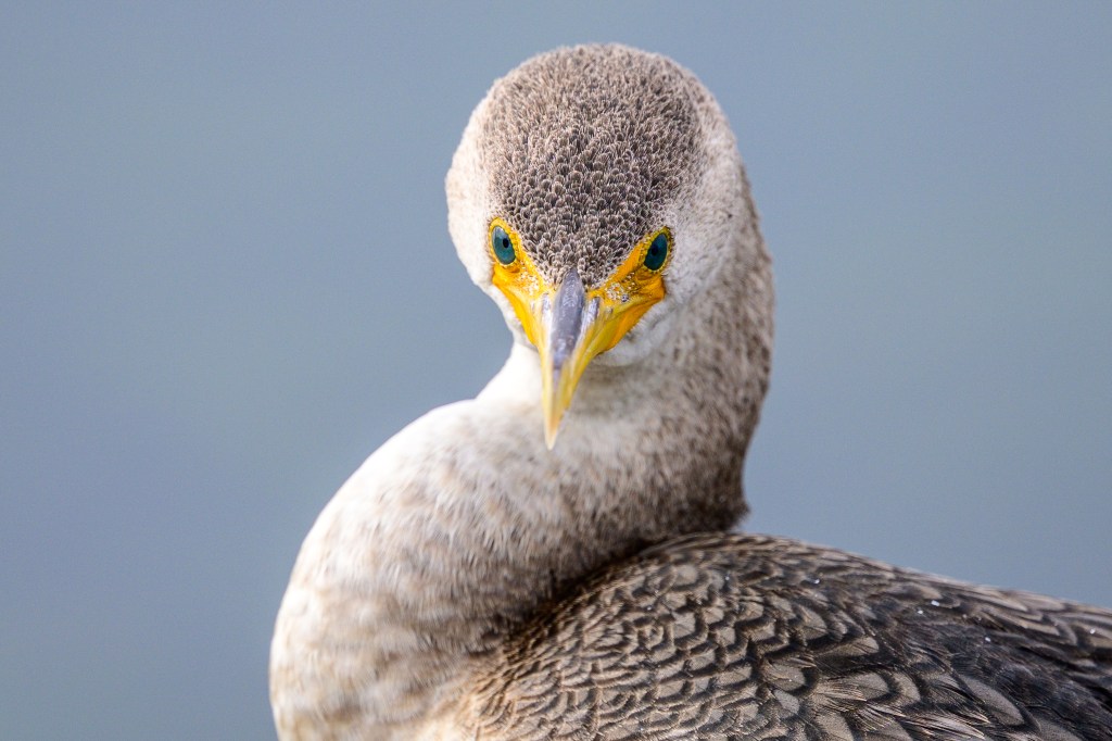
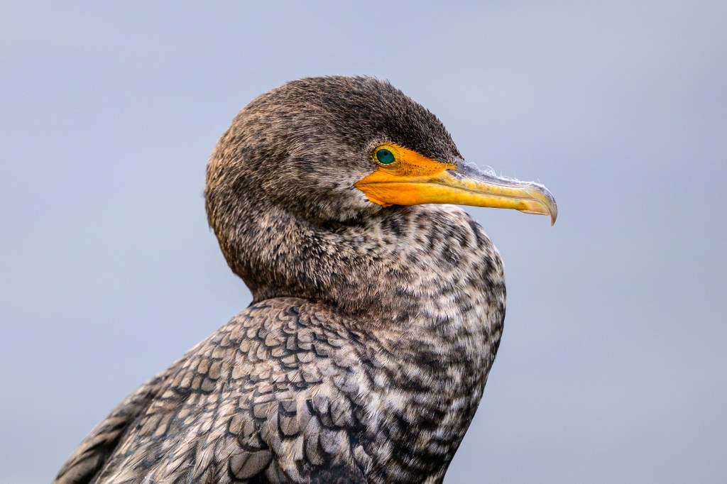
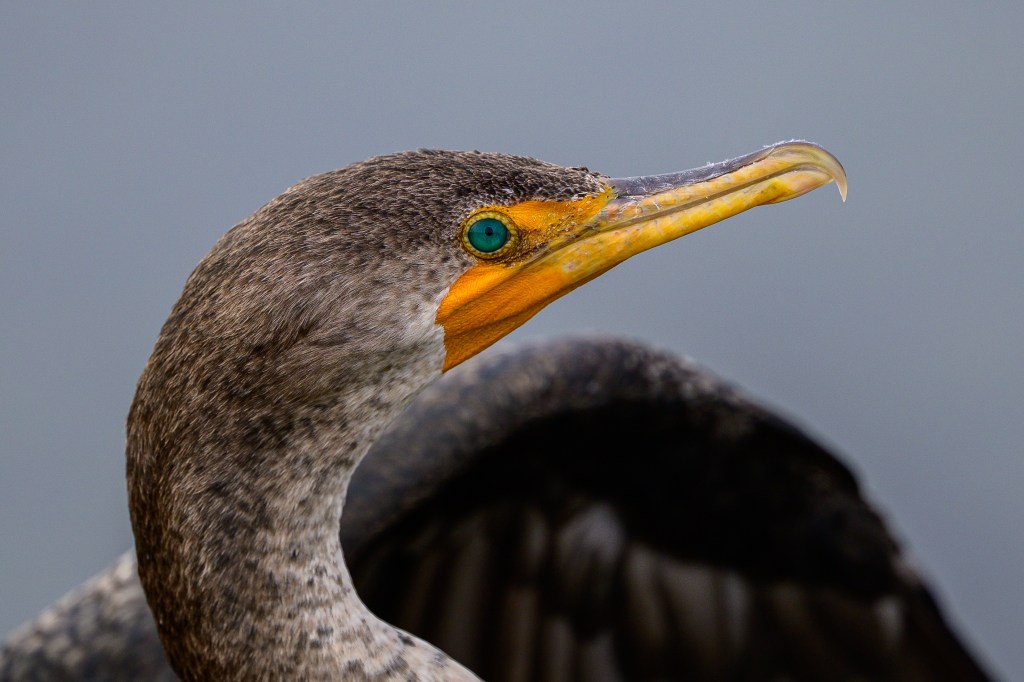
Double-crested Cormorants
These birds are common at the Pleasant Valley Reservoir near Bishop. They also show up at the Buckley Ponds. At Bolsa Chica, they were remarkably tame, allowing me to get detailed close-ups.
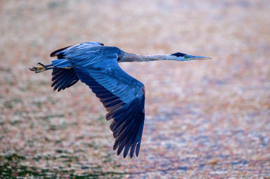
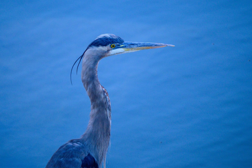
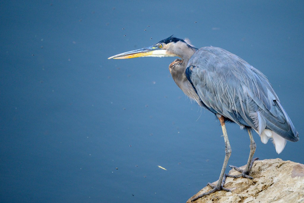
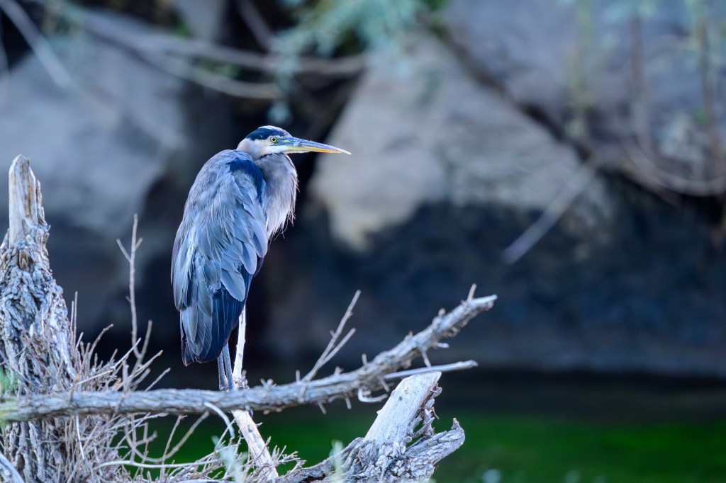
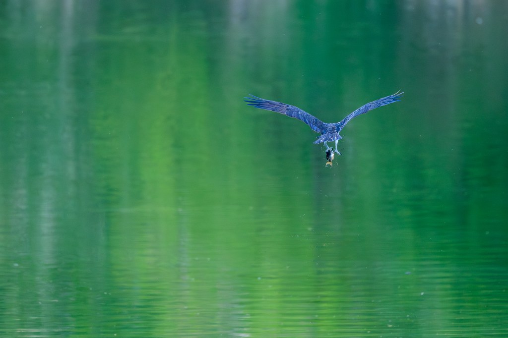
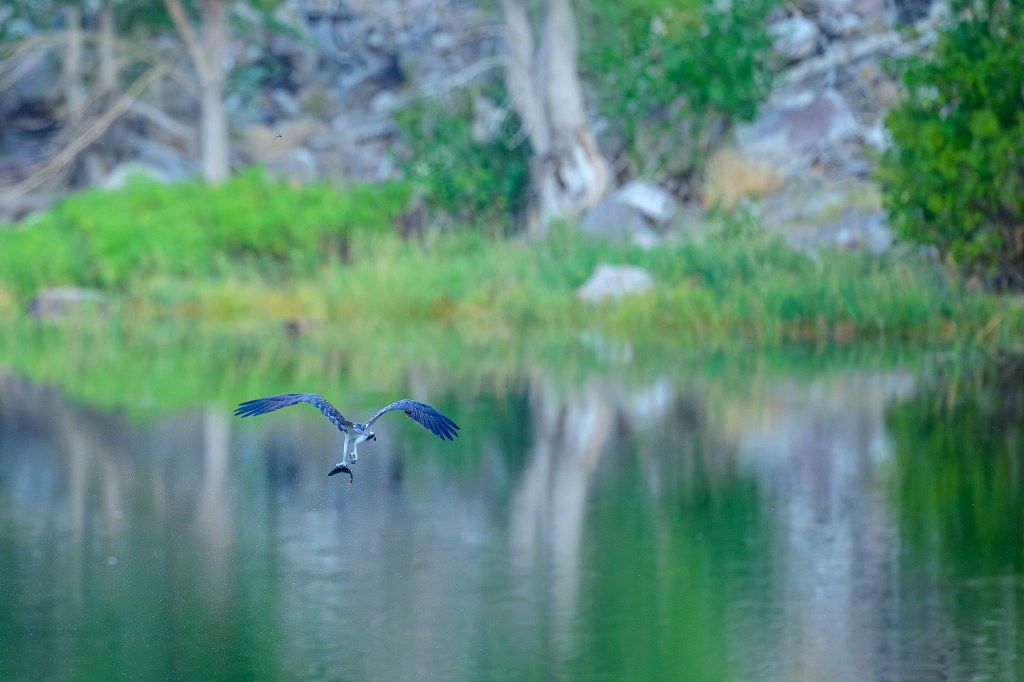
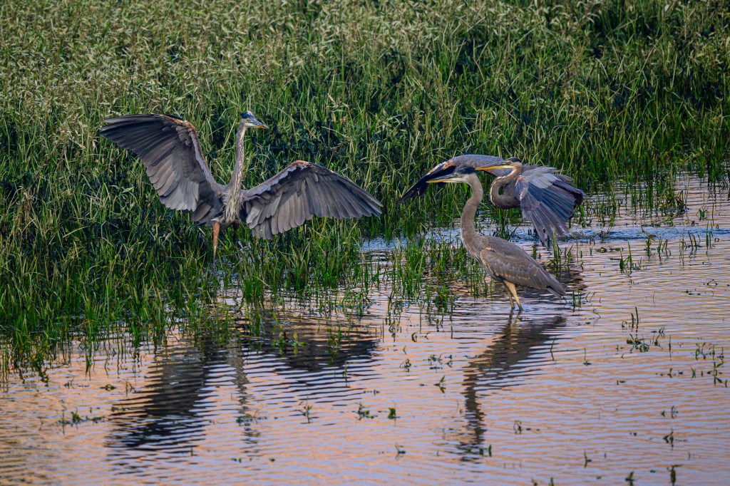
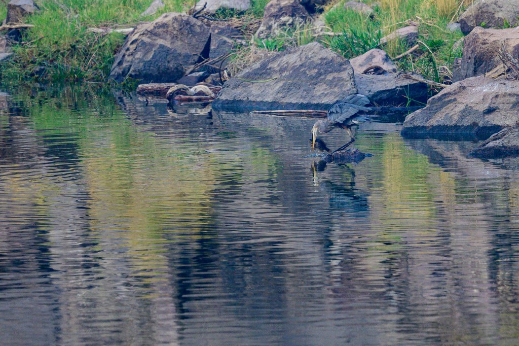
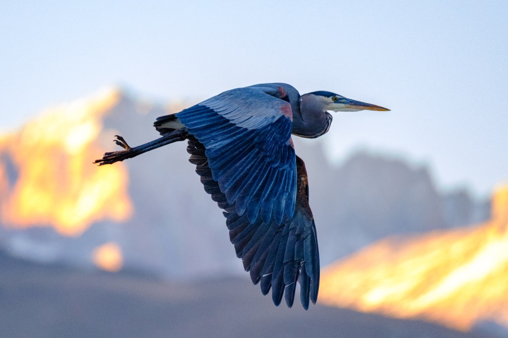
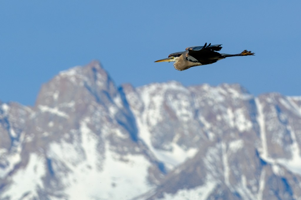
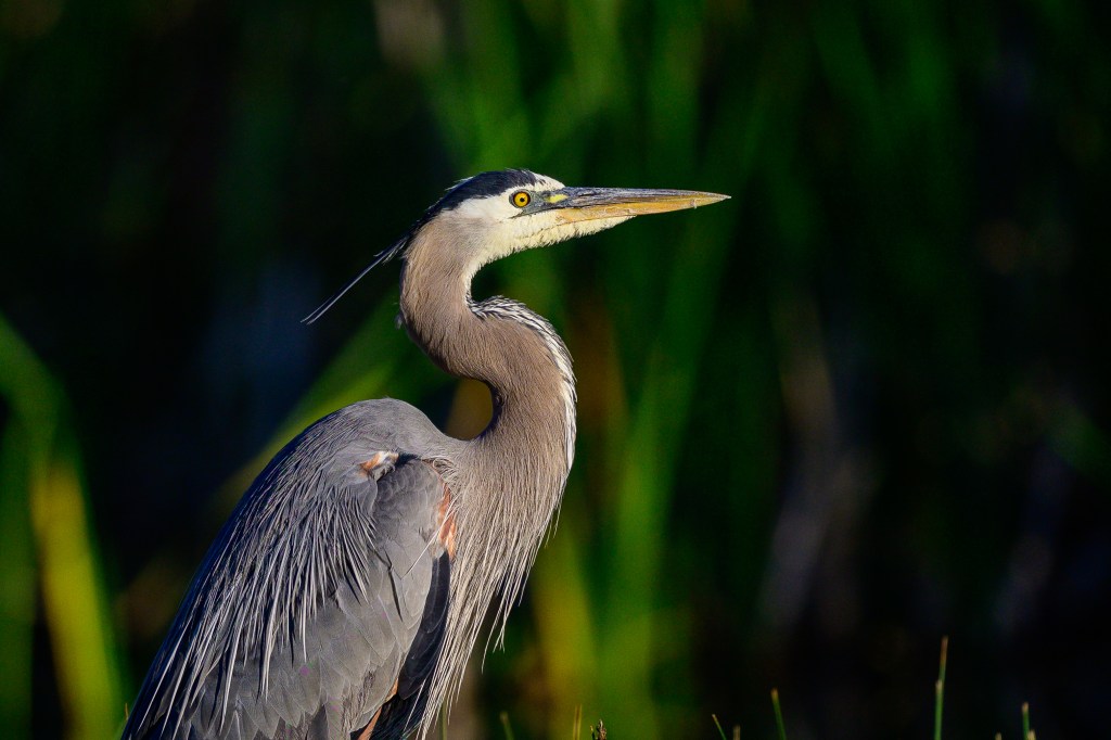
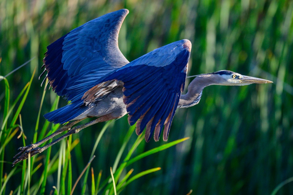
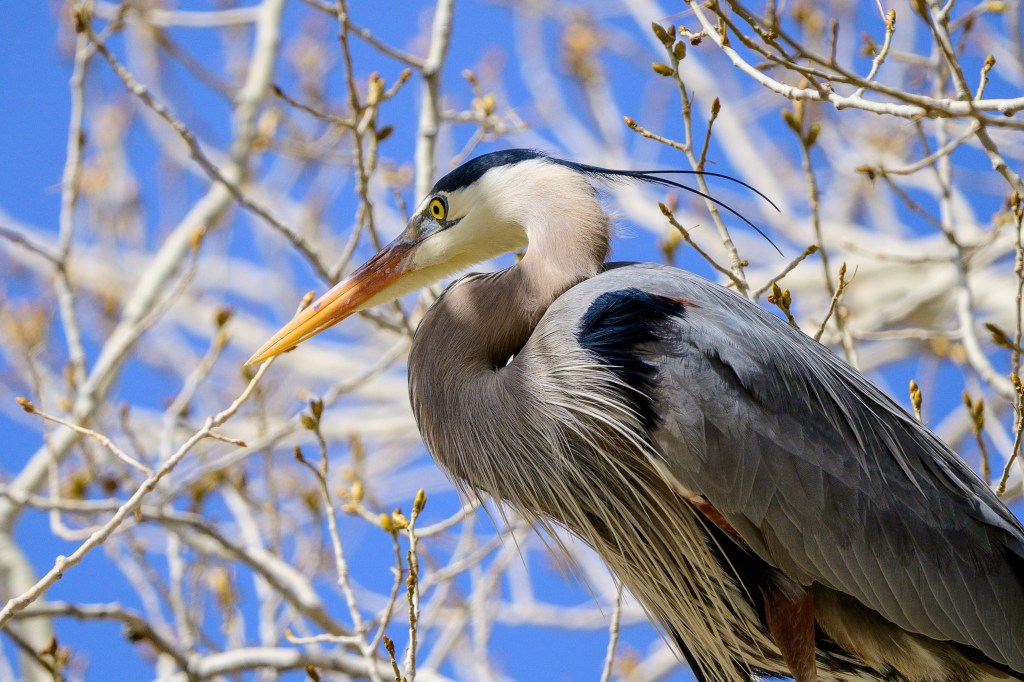
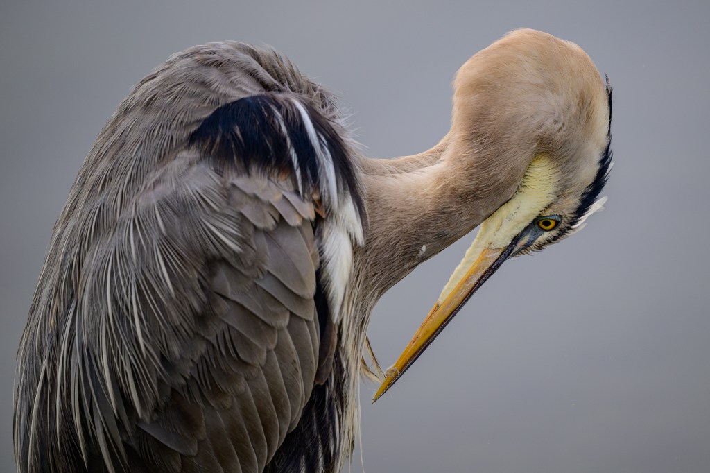
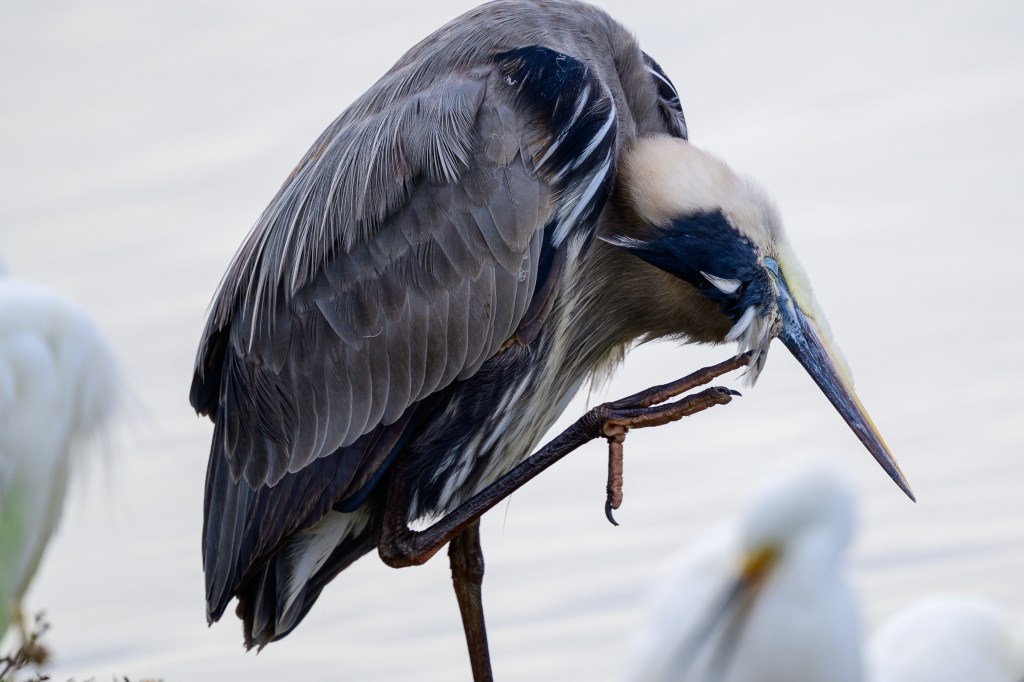
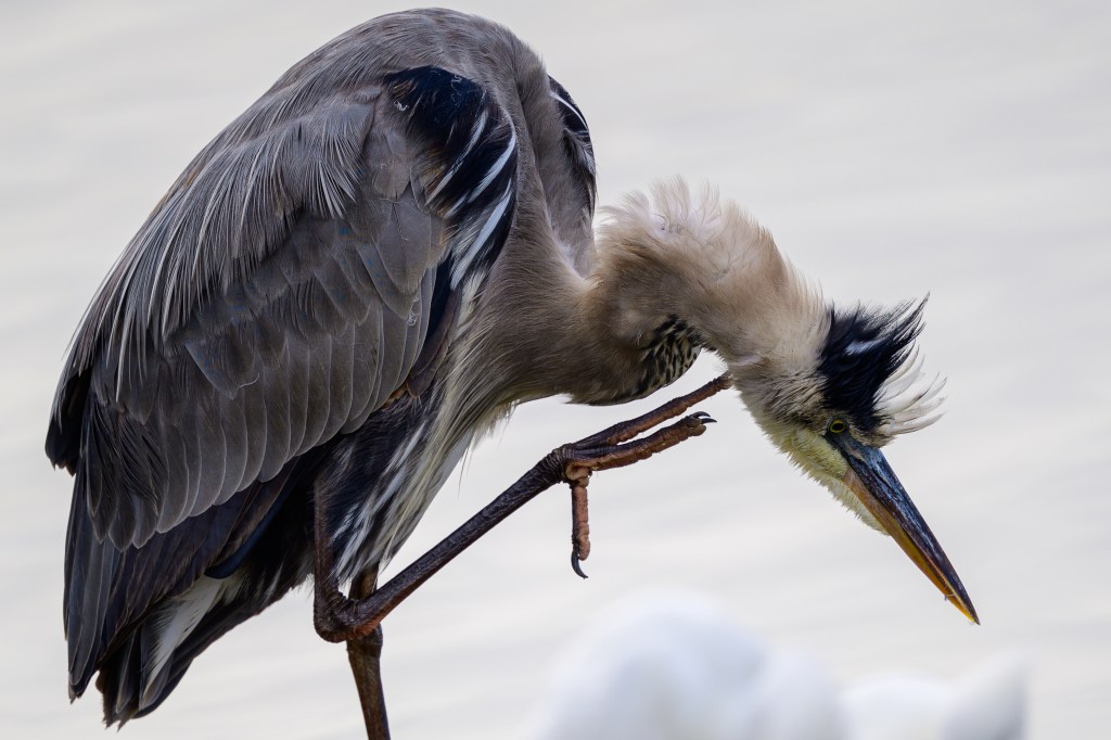
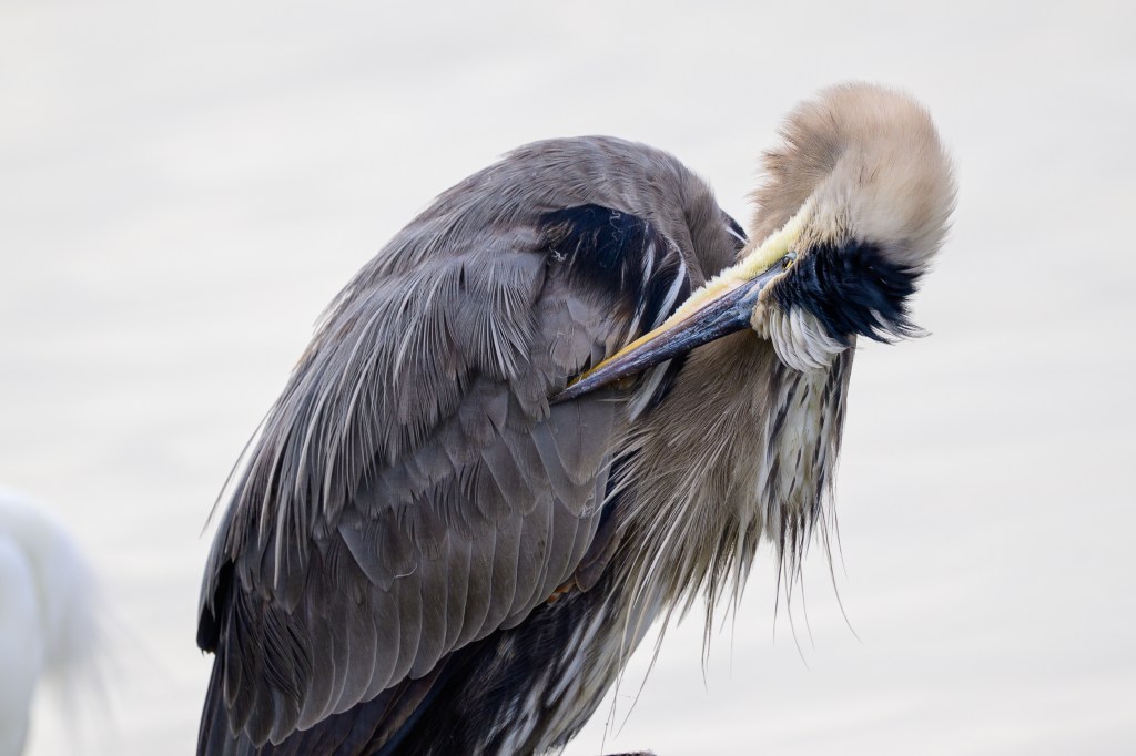
Great Blue Heron
The photos below show preening behaviors.
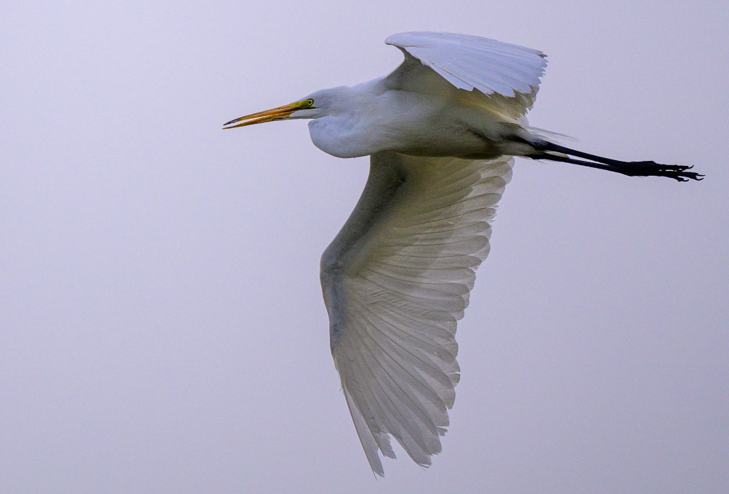
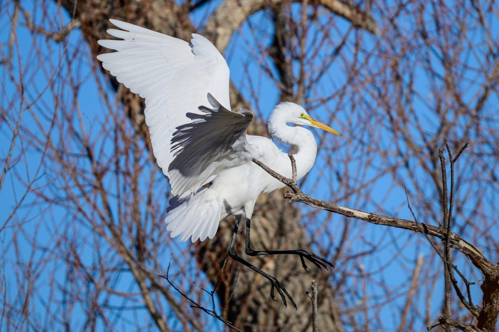
Egrets
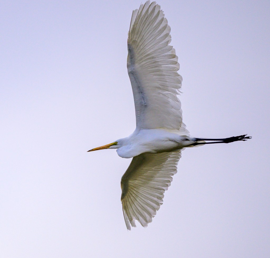
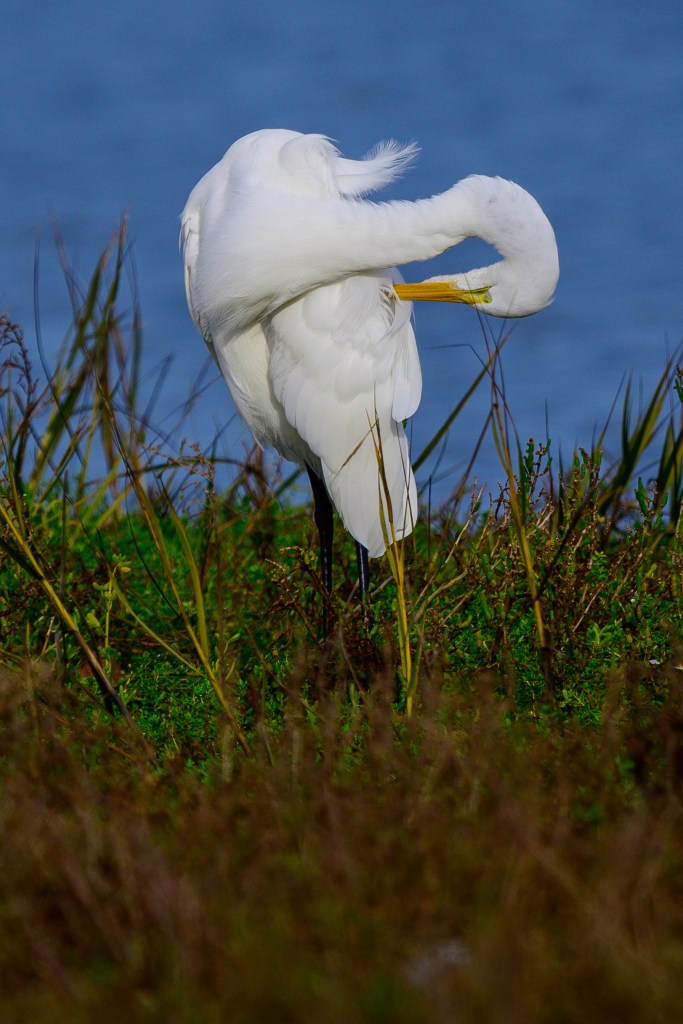
There were a few Great Egrets, such as the one below:
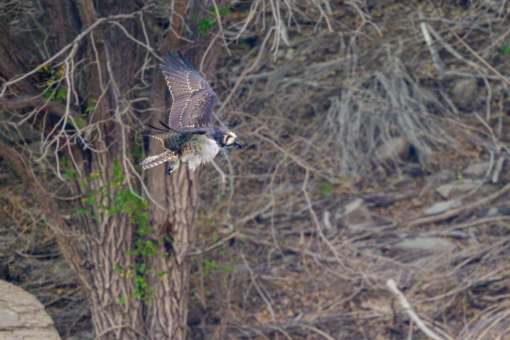
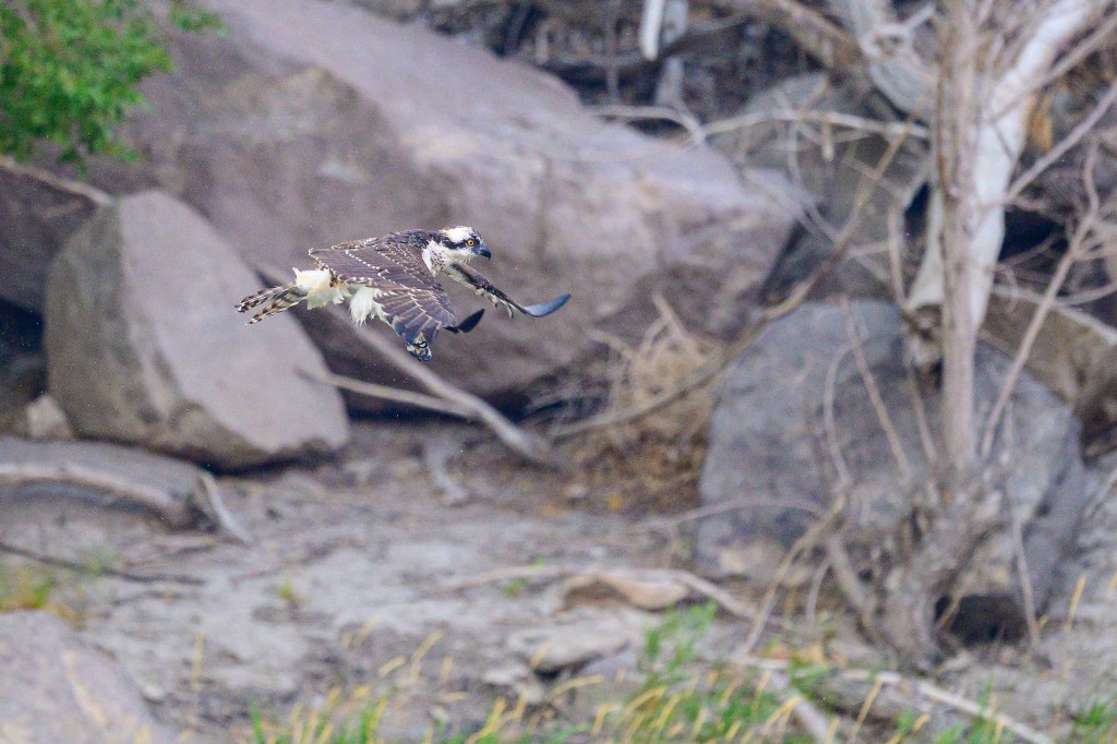
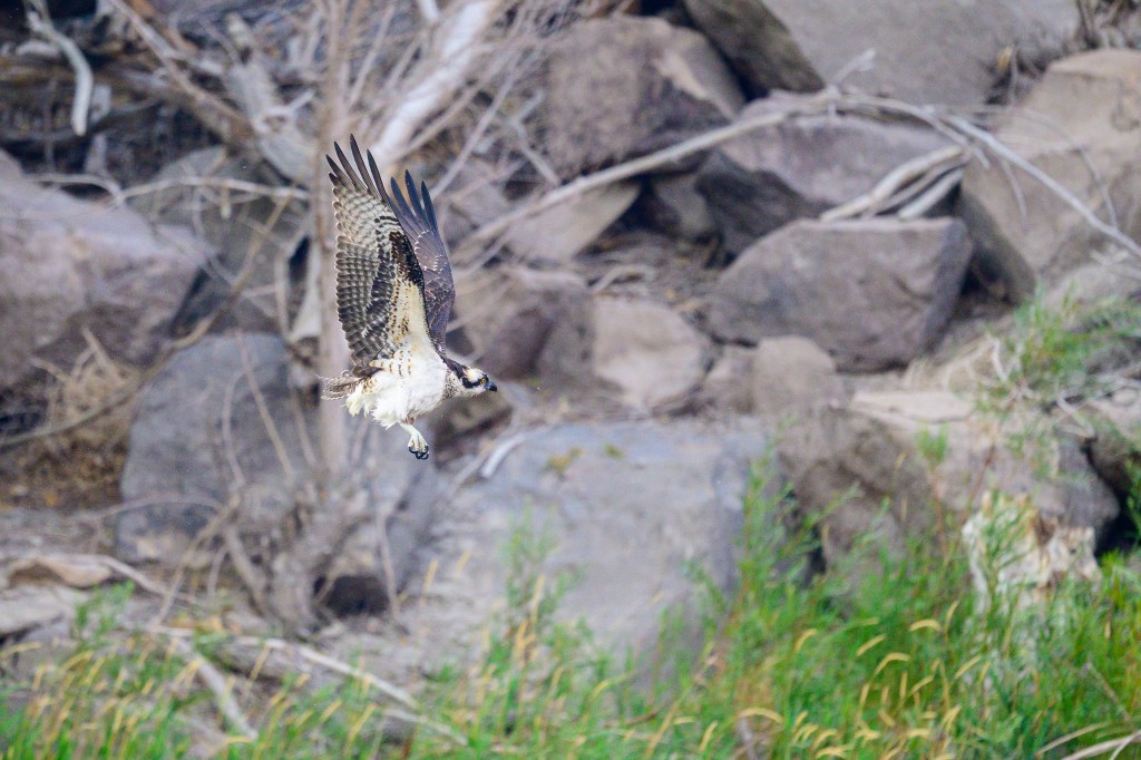
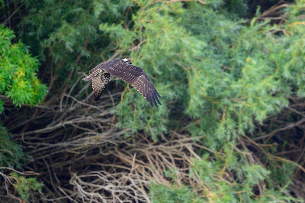
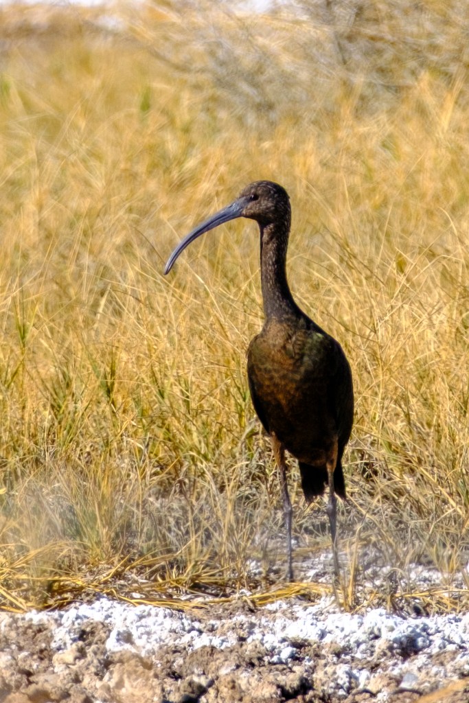
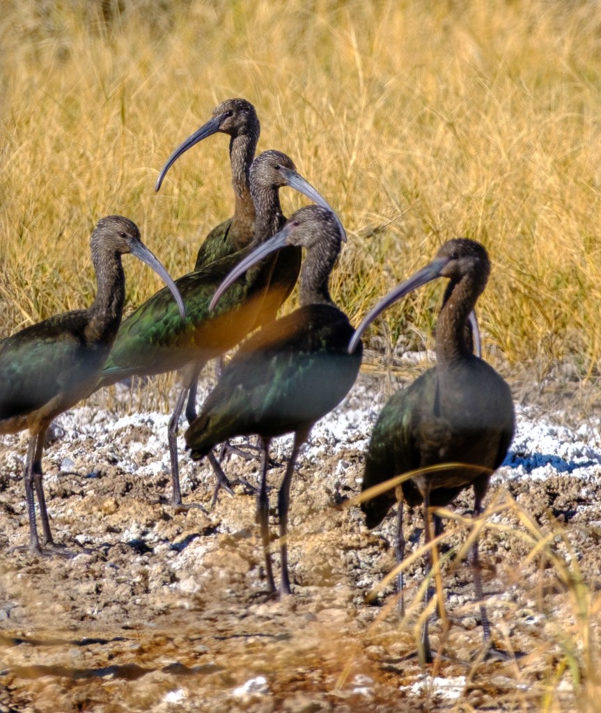
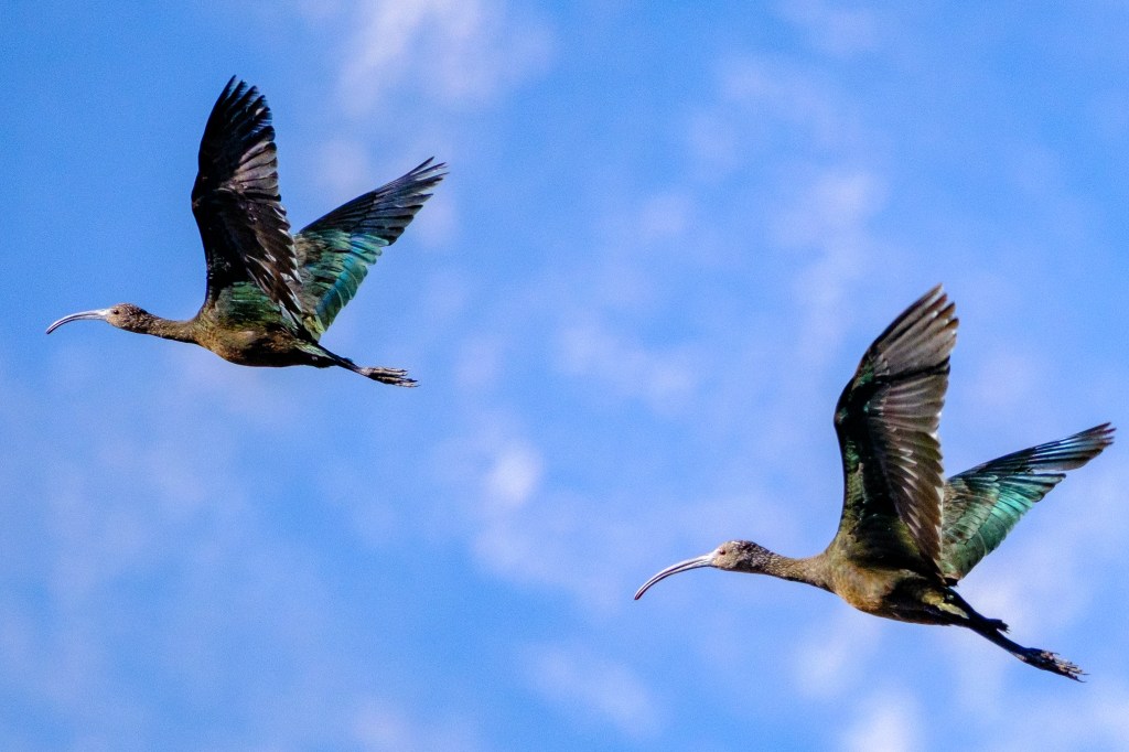
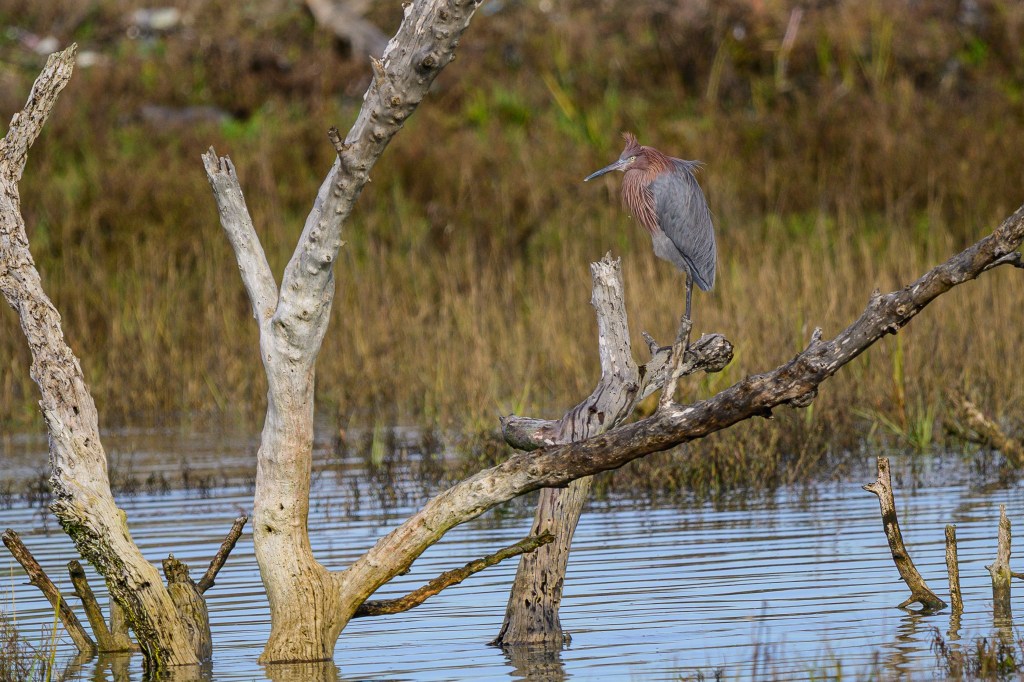
One birder pointed out a single Reddish Egret. This was a new bird for me. This Egret has only been reported once in Inyo County. Sibley’s guide says there are only 5000 of these birds in North America. A lucky find.
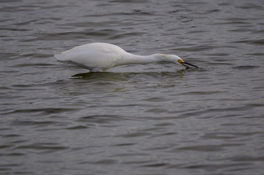
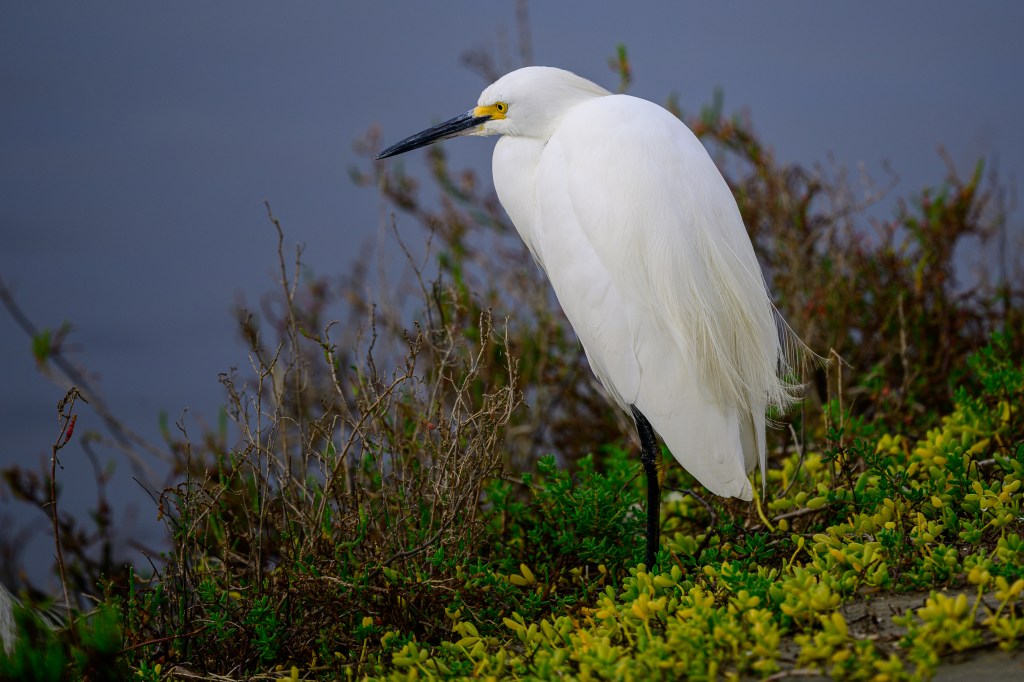
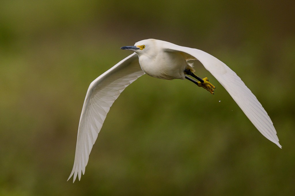
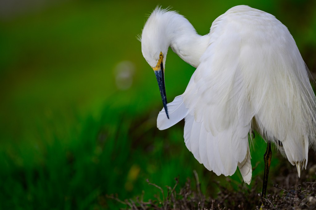
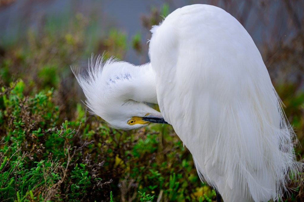
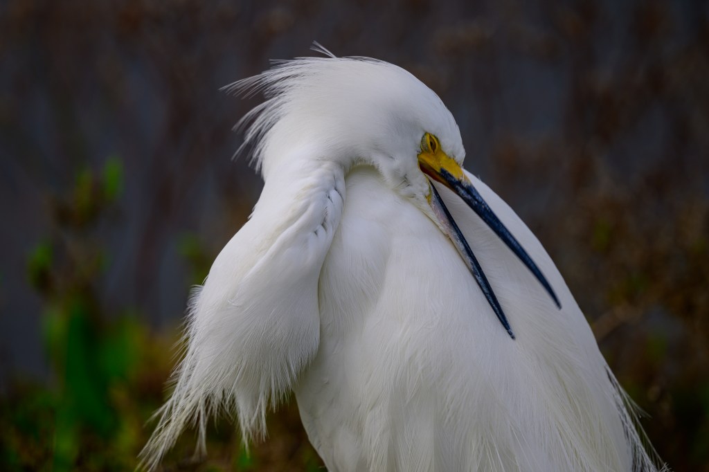
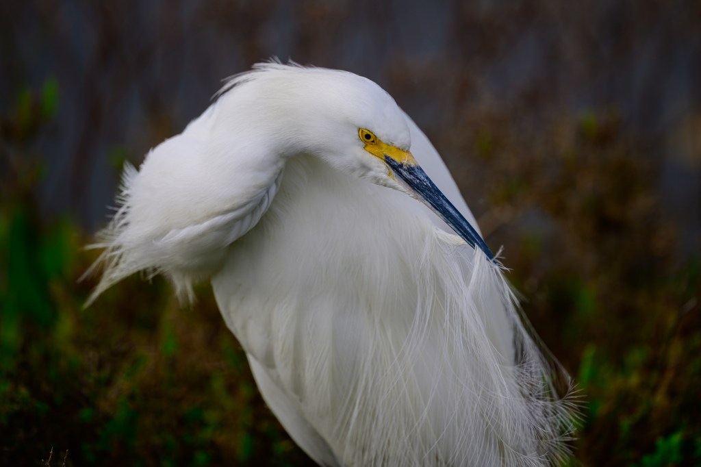
The next 13 images show Snowy Egrets. I have photographed these birds near Bishop, but they are not terribly common. At Bolsa Chica there were a hundred along part of the walk. I selected a few images that show a lot of detail and interesting preening behavior.
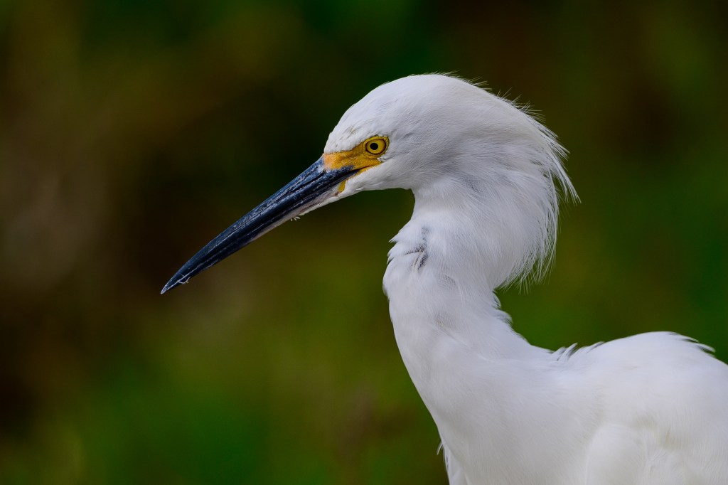
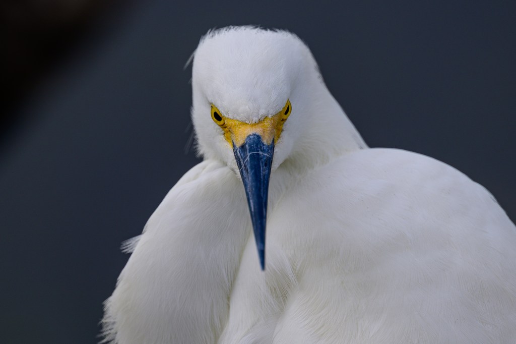
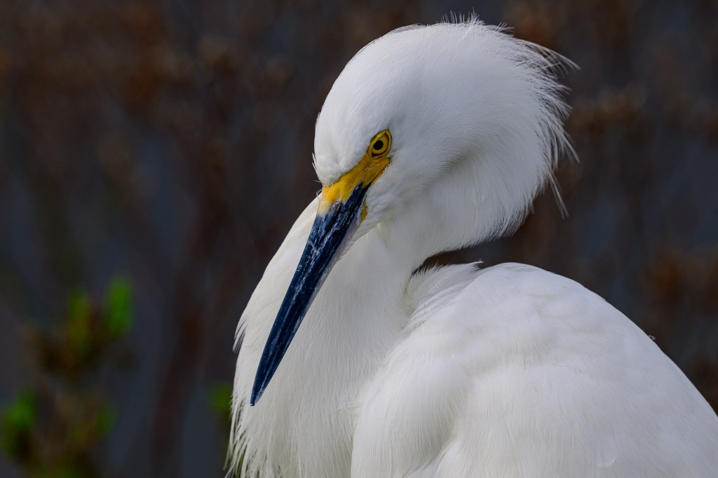
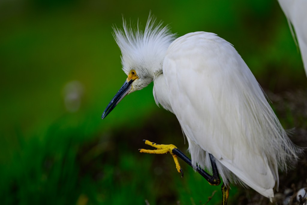
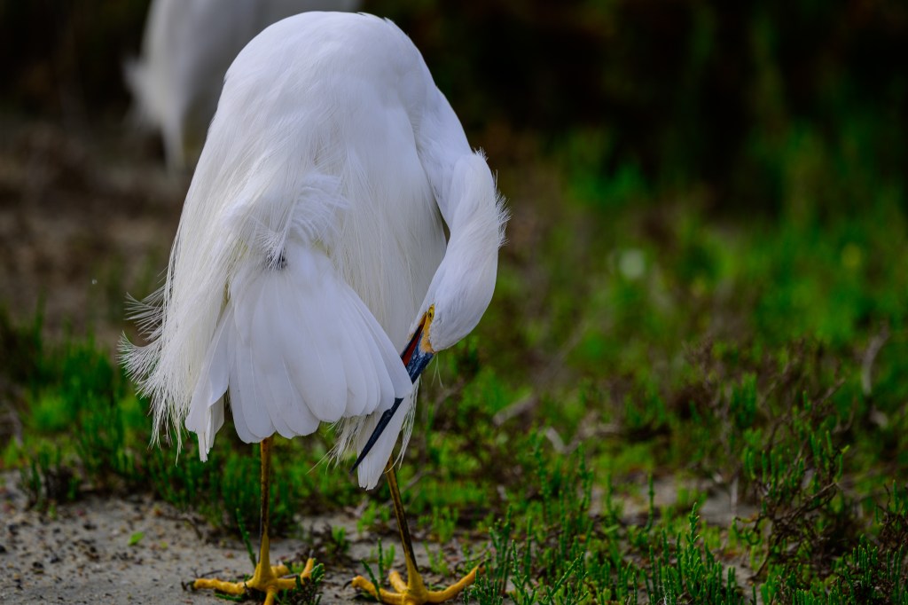
I particularly liked the details of the eyelids in the next three pictures.
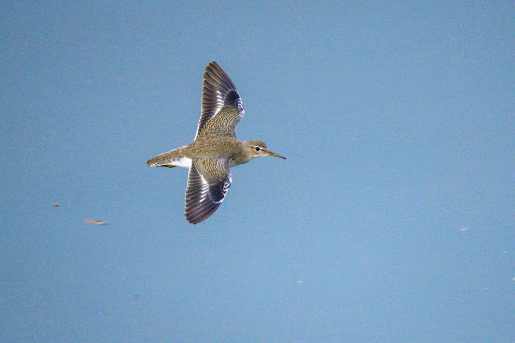
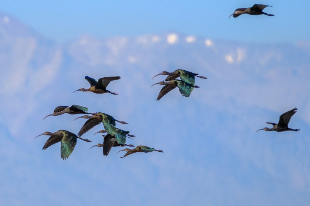
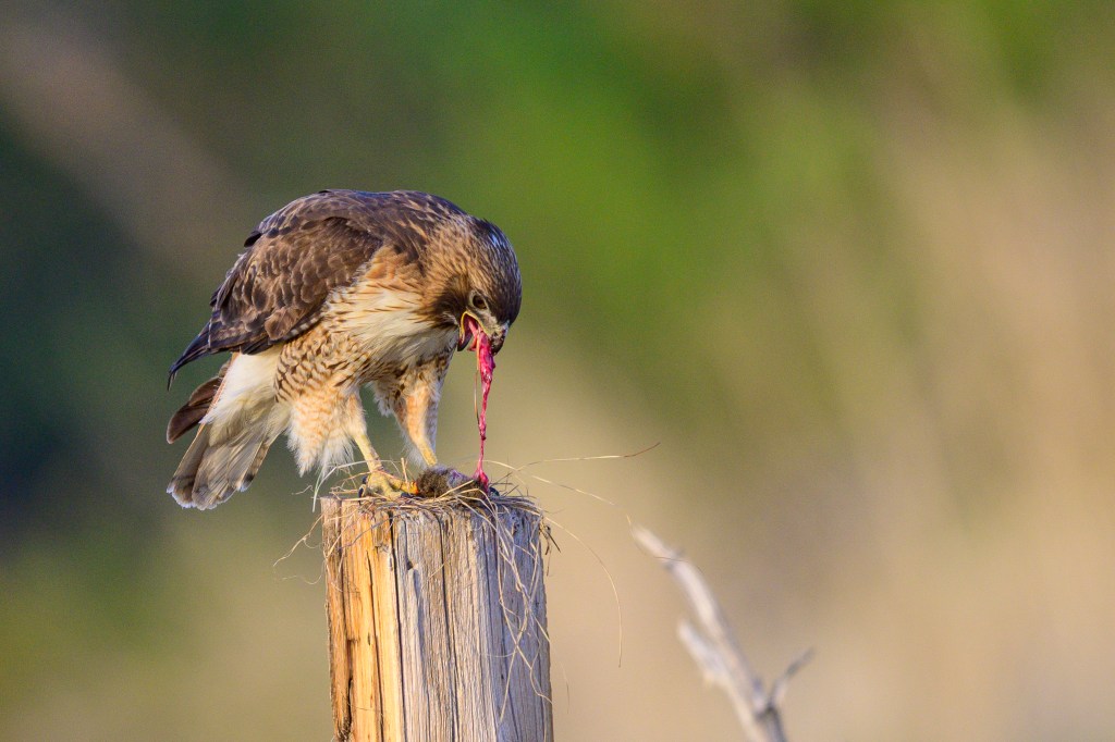
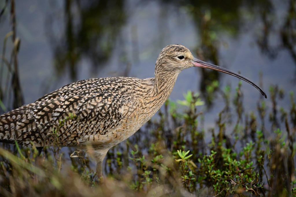
Curlew
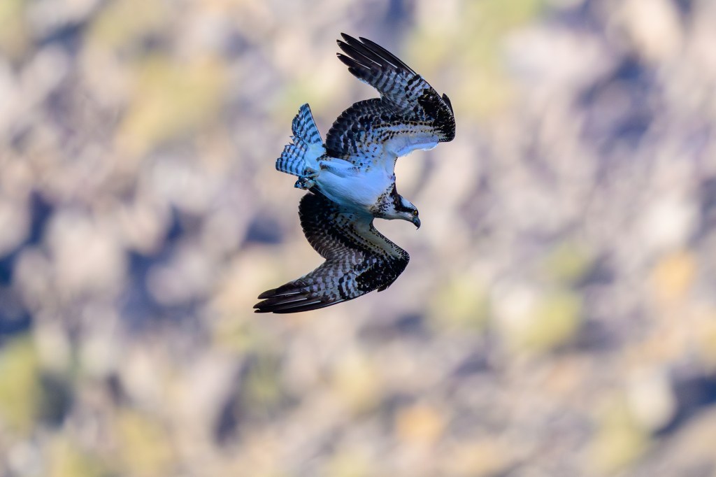
Here is a Long-billed Curlew. The absurd bill seems like a joke.
A final comment:
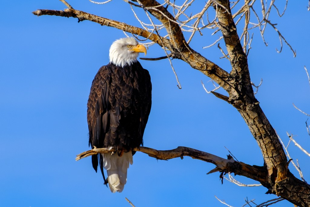
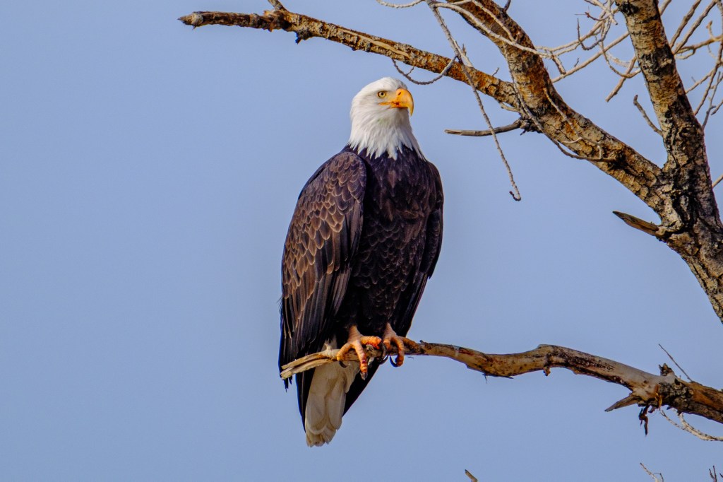
A place like Bolsa Chica is special: 1) you can see many birds of several species in a short time and 2) you can get closer to the birds than in most other places. It functions as an open-air aviary. It might be nice if every region had a place like this where people could enjoy birds so easily in an outdoor setting. But doing this is expensive. It would be costly to provide the habitat and protection that the birds need; fencing, gates, water supply, nesting areas, vegetation, and so on. When we were at the Bolsa Chica, two young rangers were patrolling the walks, greeting visitors and making sure that people followed the rules. It would be costly to provide that level of security in many places. Many wildlife refuges do provide habitat for birds and are patrolled by rangers. But they are usually set up so that people can shoot birds; a different experience.