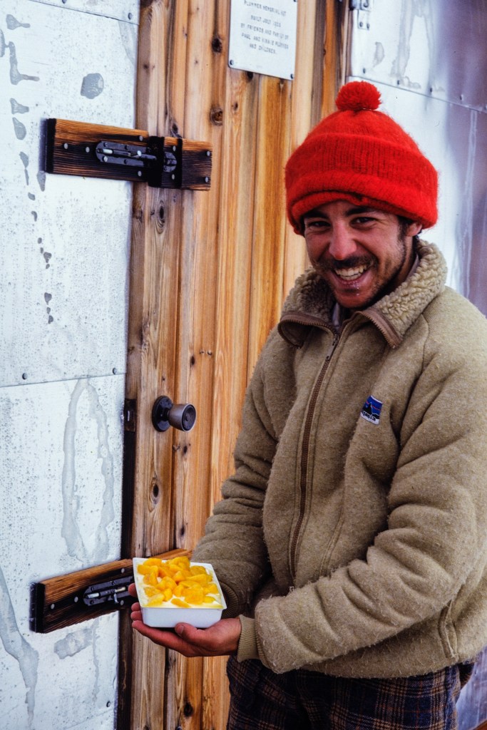
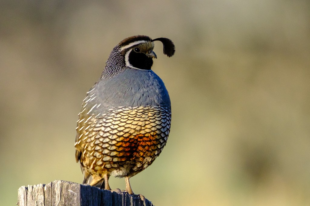
I bought a full-frame Nikon Z8 camera in the fall of 2024. In March of 2025 I sold my firstborn and bought a Nikkor Z 600mm f4 lens that has a built-in 1.4x teleconverter. Using this expensive gear I collected 5000 bird images by the end of 2025. I delete 90% of the pictures I take, so this means I took 50,000 bird photos in 9 months. That is equivalent to 1390 36-shot roles of 35mm film. Back in 1990, a roll of Fujifilm Velvia cost about $10, so the cost of 50,000 film pictures would have been $13,900. Developing the film would double that amount. Accounting for inflation from 1990 to 2025 adjusts the cost to $70,000 in today’s dollars. Digital images are obviously much cheaper than film photographs. Digital gear allows me to take photos in a profligate manner that would have been financially ruinous in the film era.
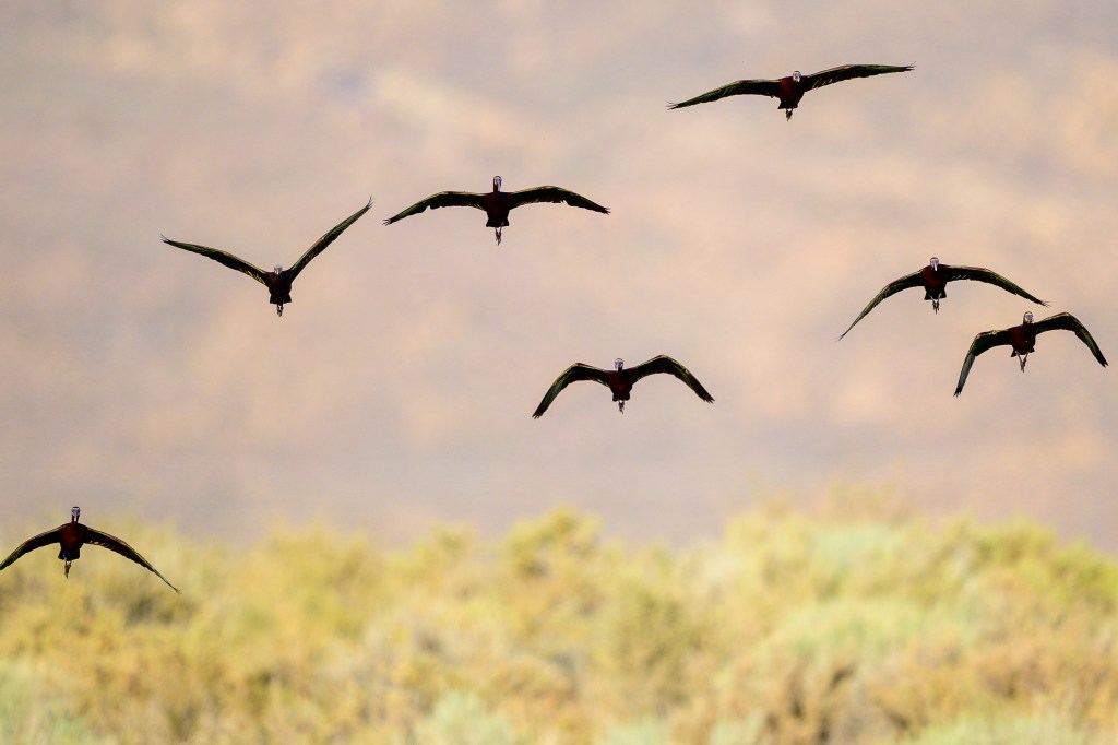
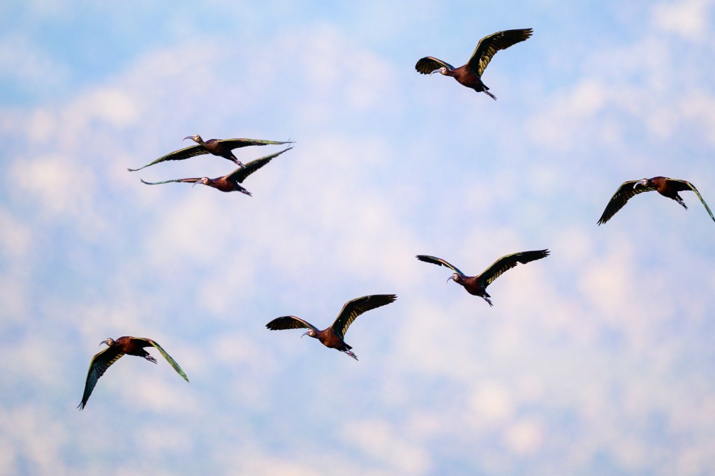
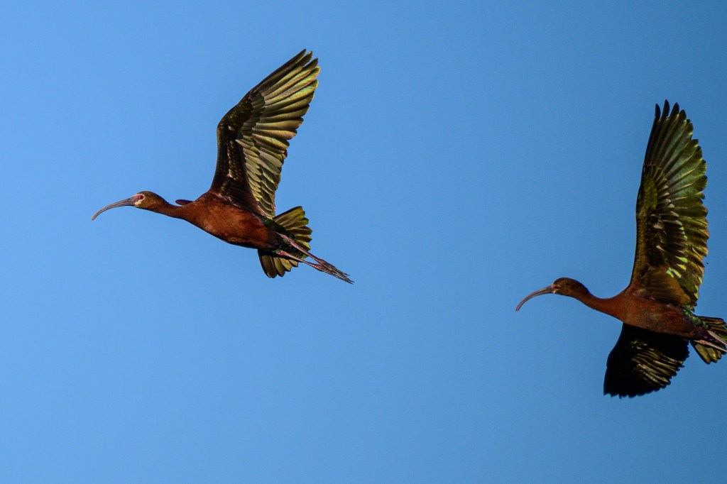
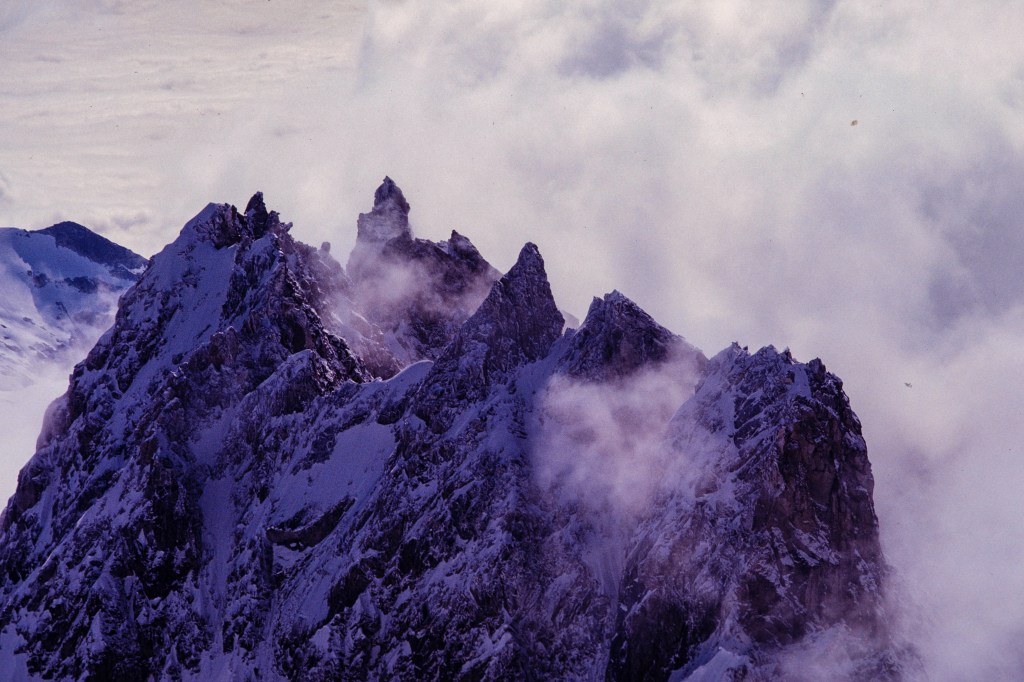
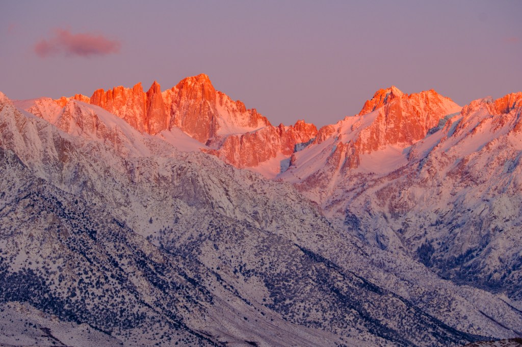
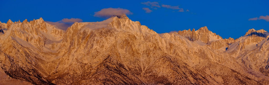
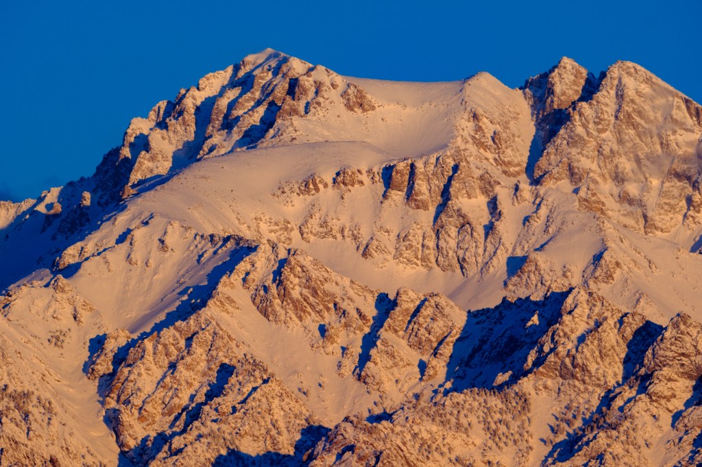
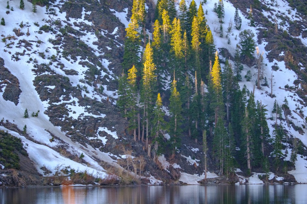
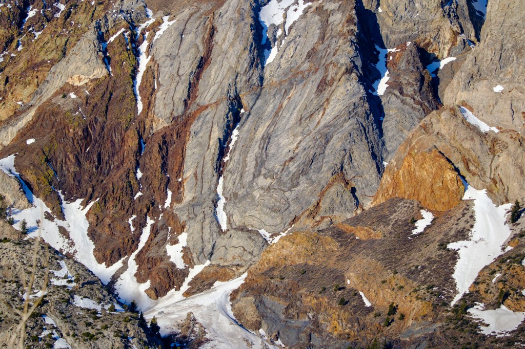
This blog is a collection of 72 wildlife photos taken near Bishop CA in the last 3 months of 2025. I took thousands of photos during that time, so at least some of these should be good.
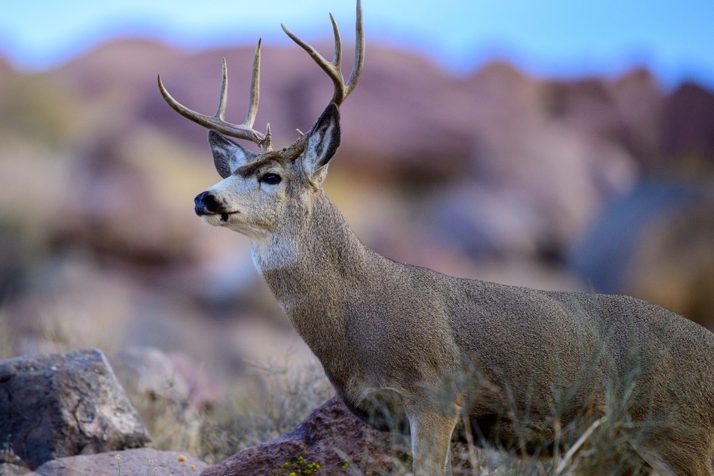
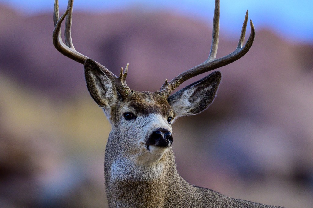
Mule Deer
Hundreds of Mule Deer live within 50 miles of Bishop. In summer, deer are high up in the Sierra, but in winter they roam the floor of the Owens Valley. This buck was getting a drink at the Pleasant Valley Reservoir. Roberta spotted him as he crossed the road and ambled up the hill above us. They are named for their large, mule-like ears. Deer often have scrapes and scars on their fur, but this one looks as if he was groomed for a show.
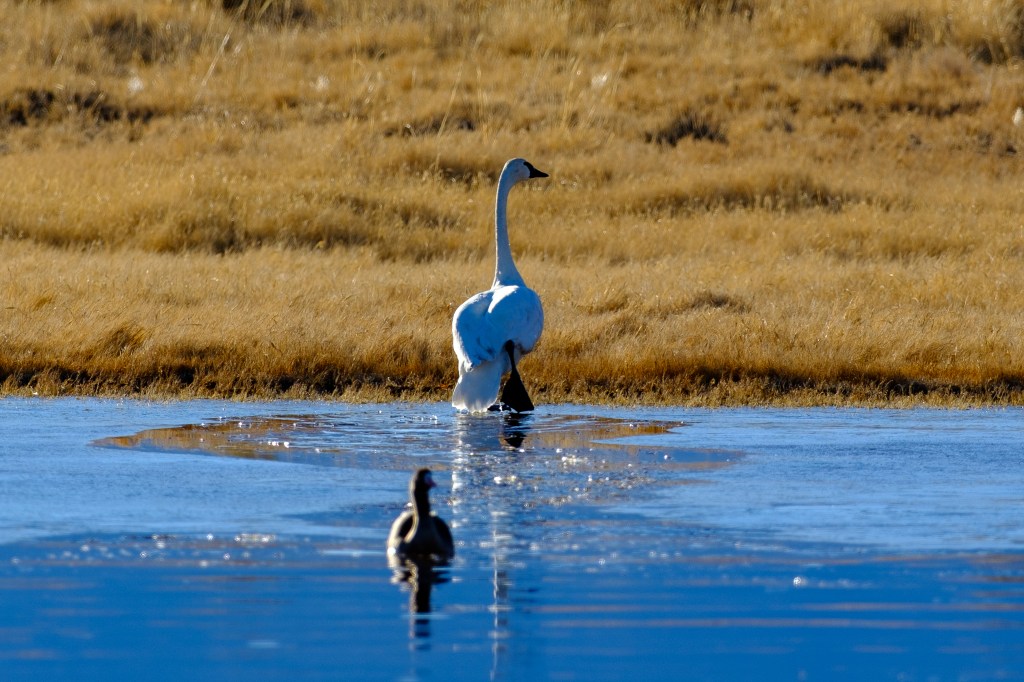
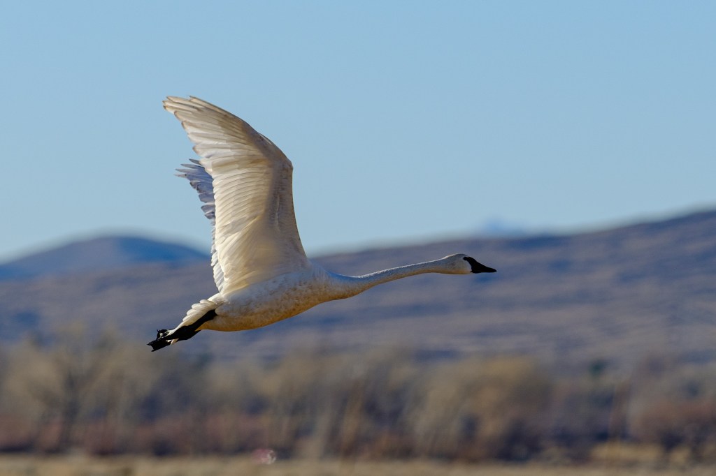
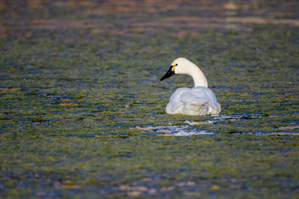
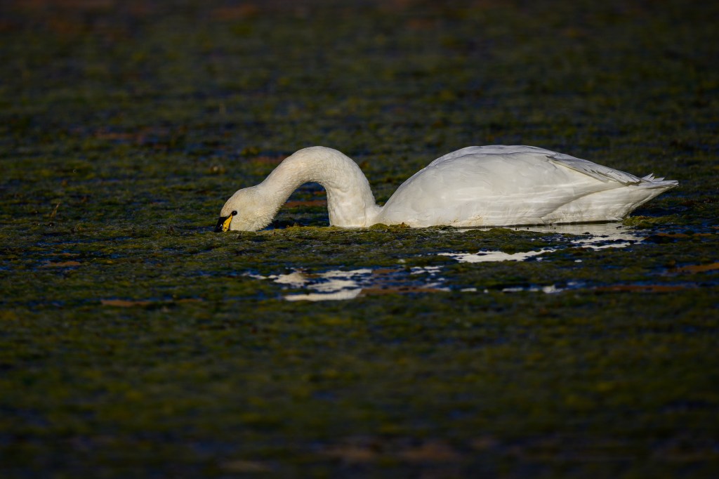
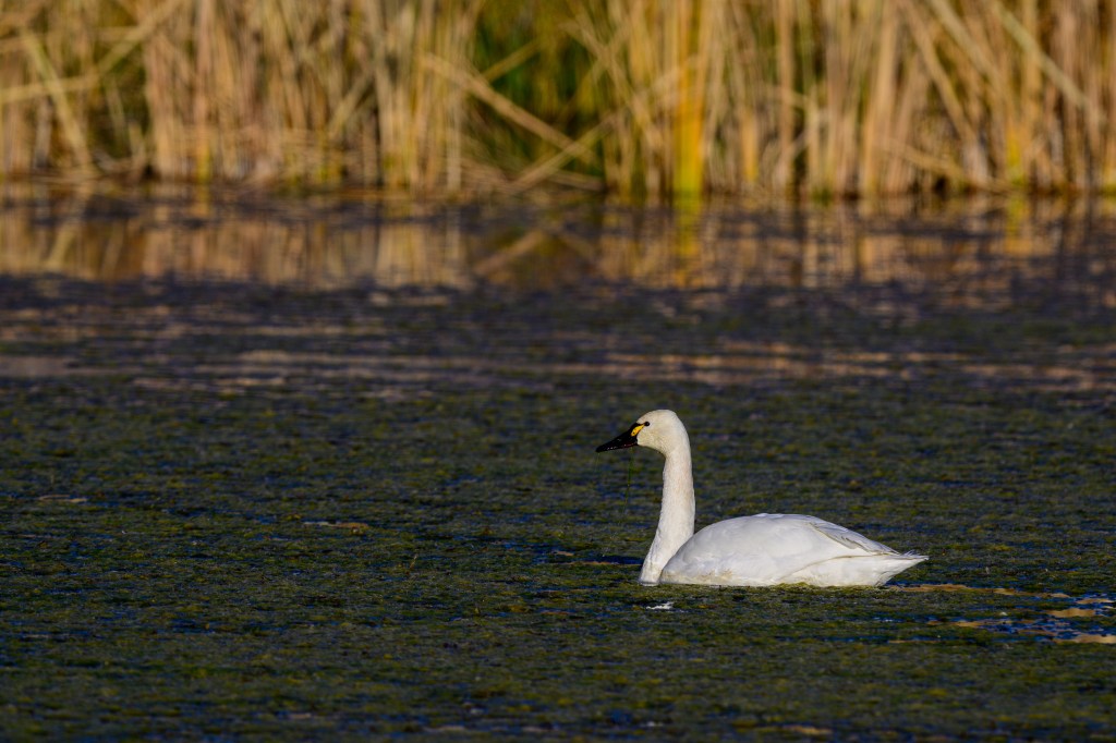
Tundra Swan
A lone, migrating swan was at the Buckley Ponds for a few days.
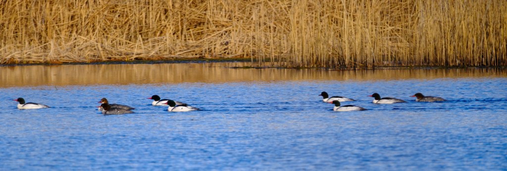
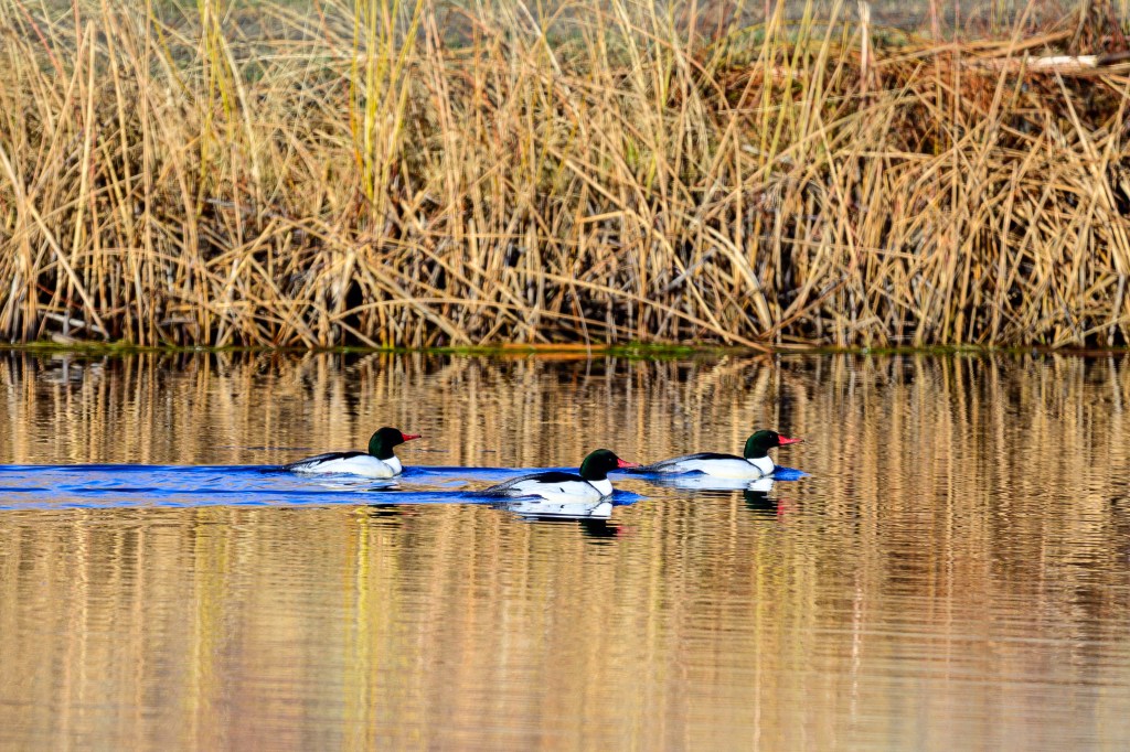
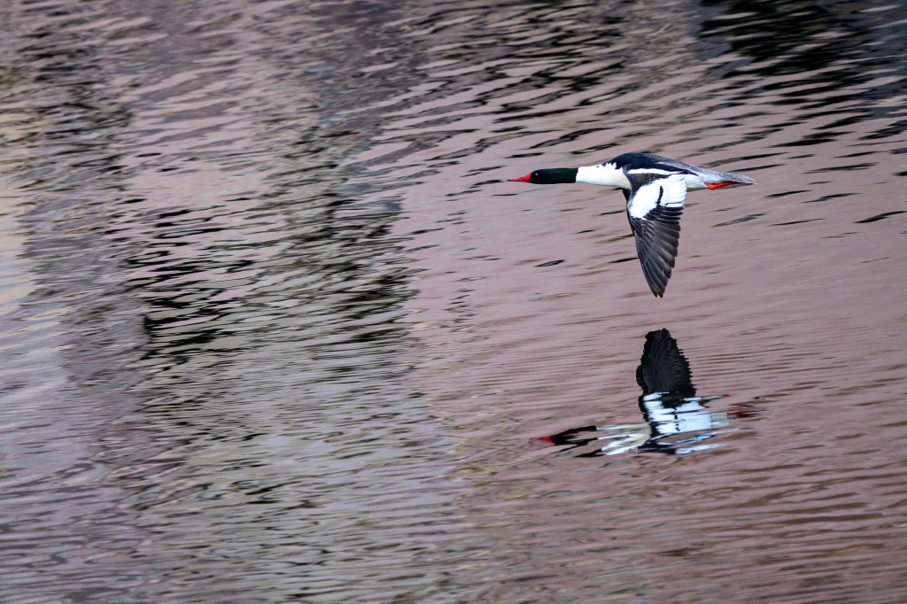
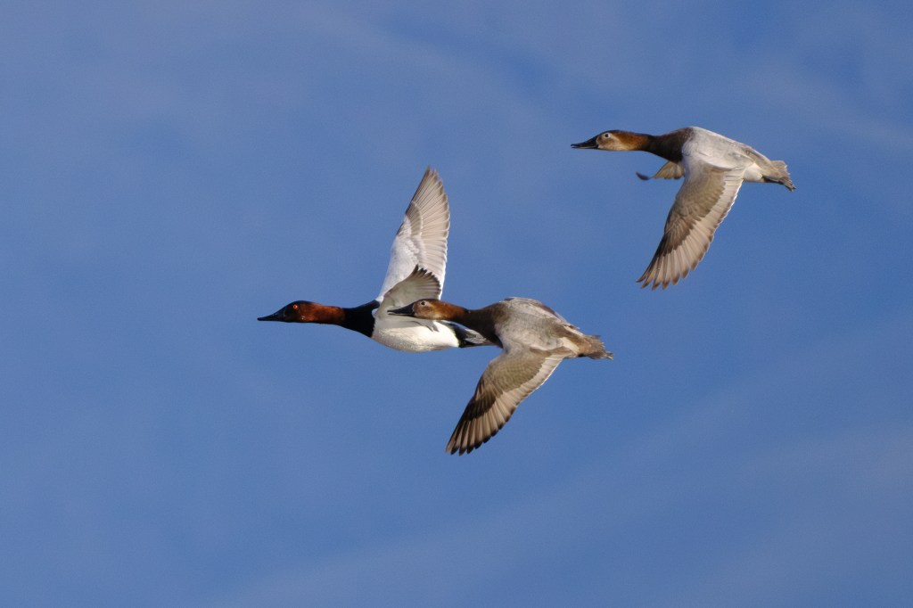
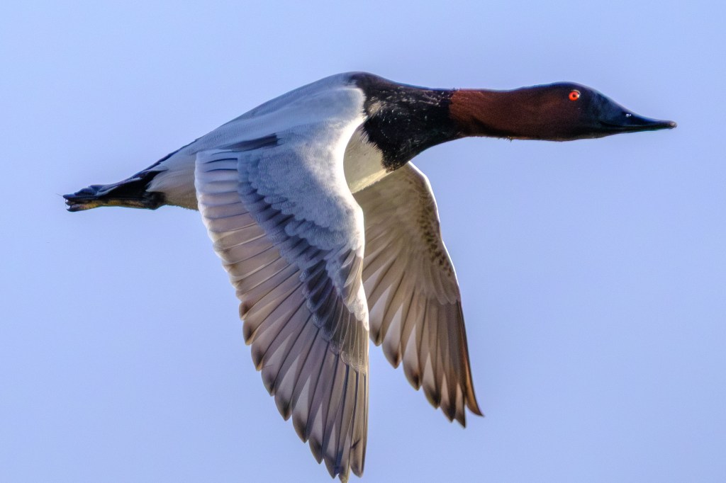
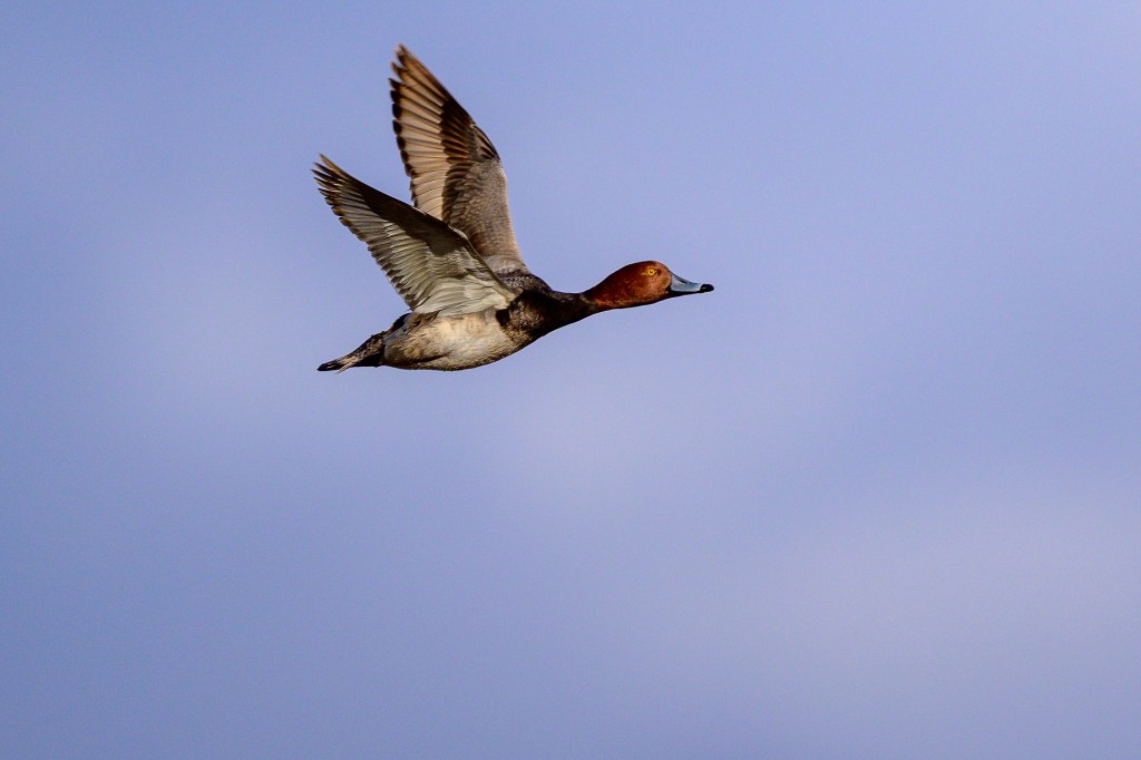
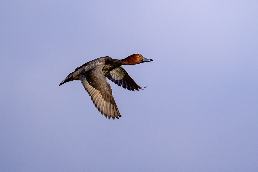
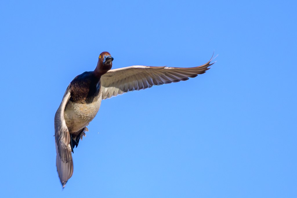
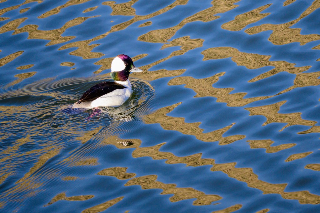
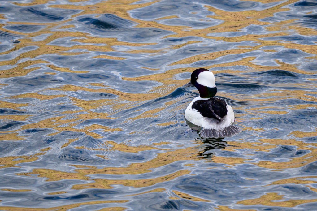
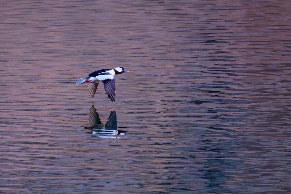
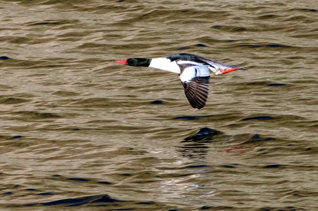
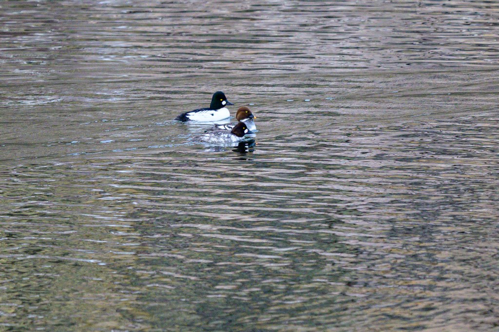
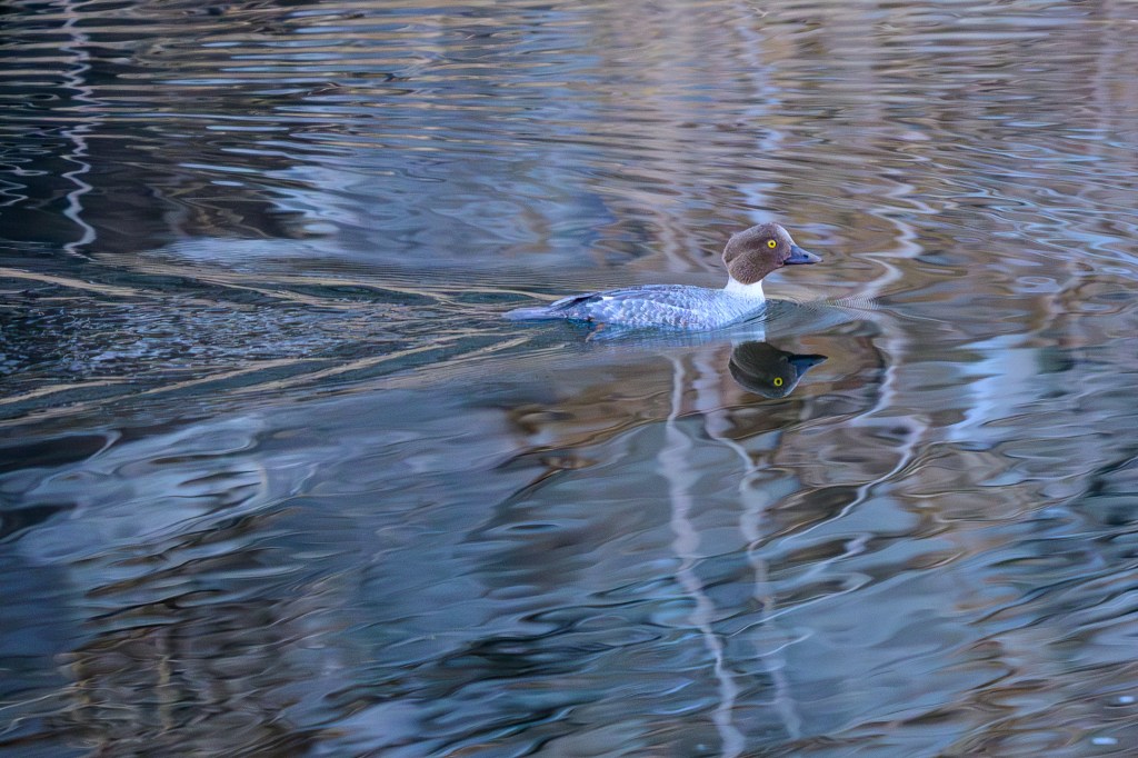
Common Goldeneye
Goldeneye’s migrate through in winter. A few were hanging out at the Reservoir.
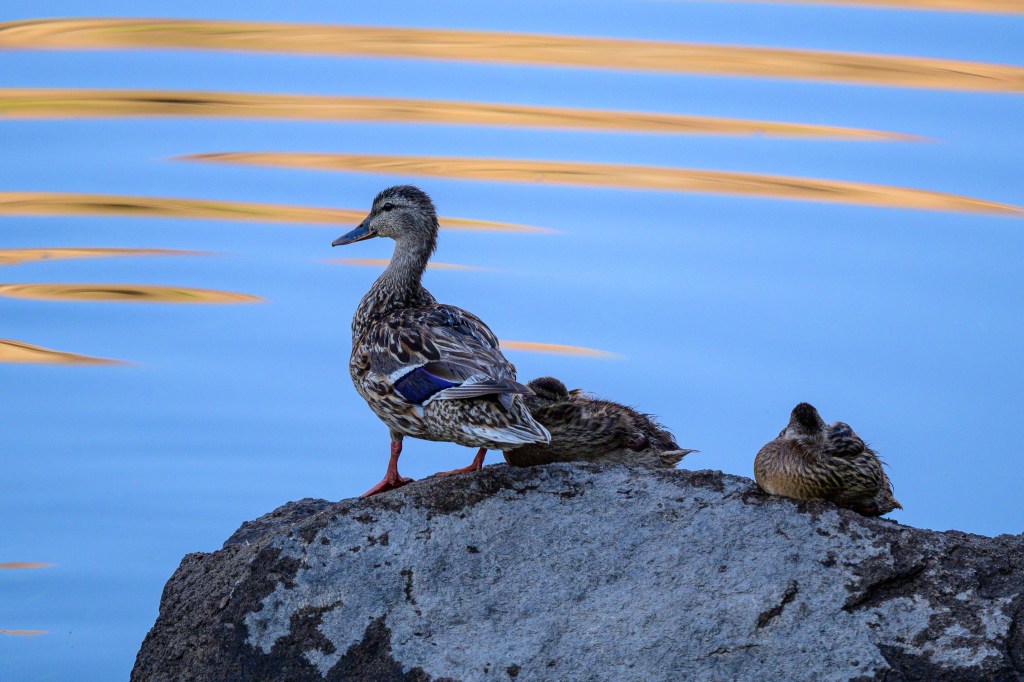
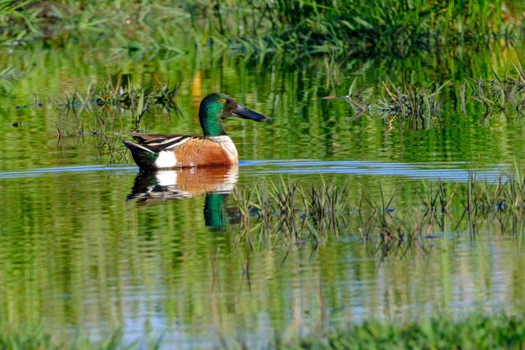
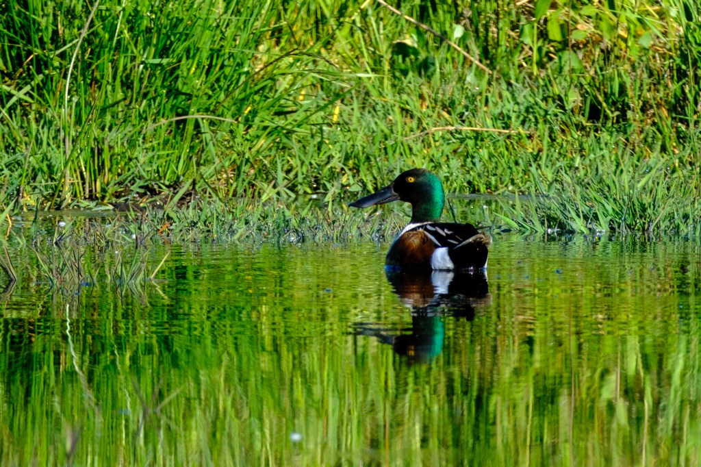
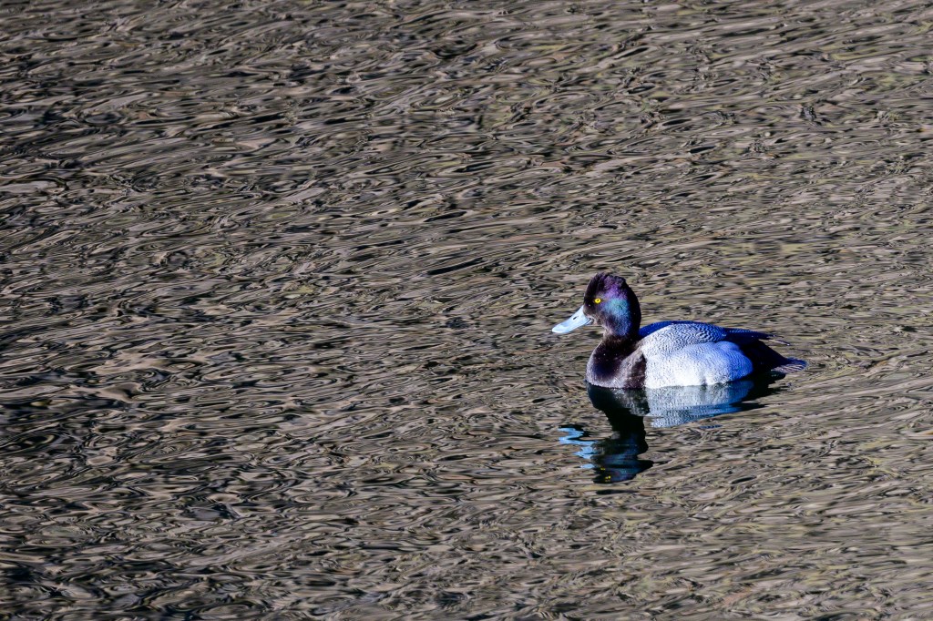
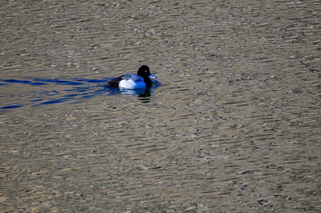
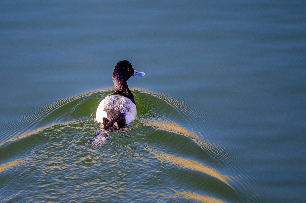
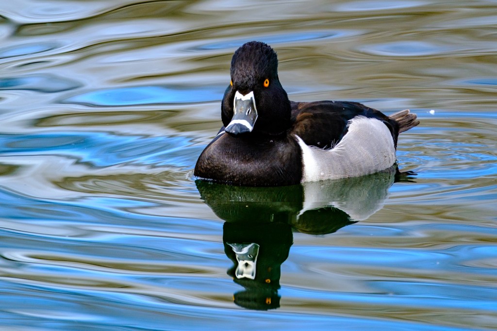
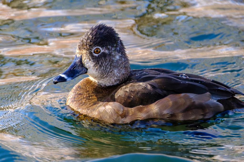
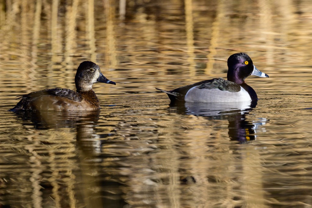
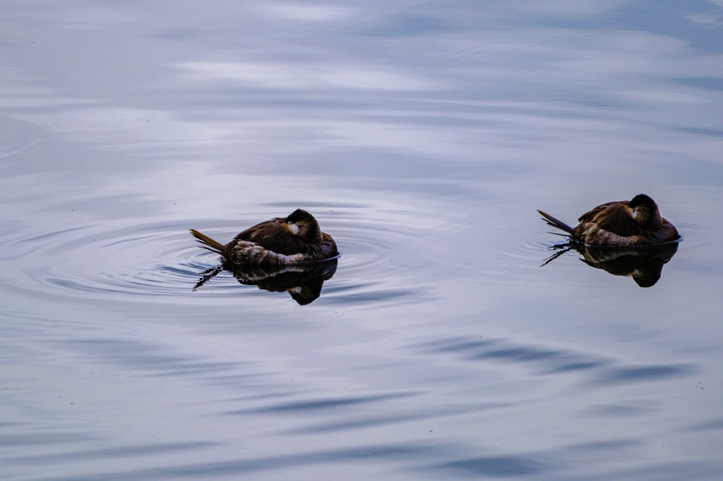
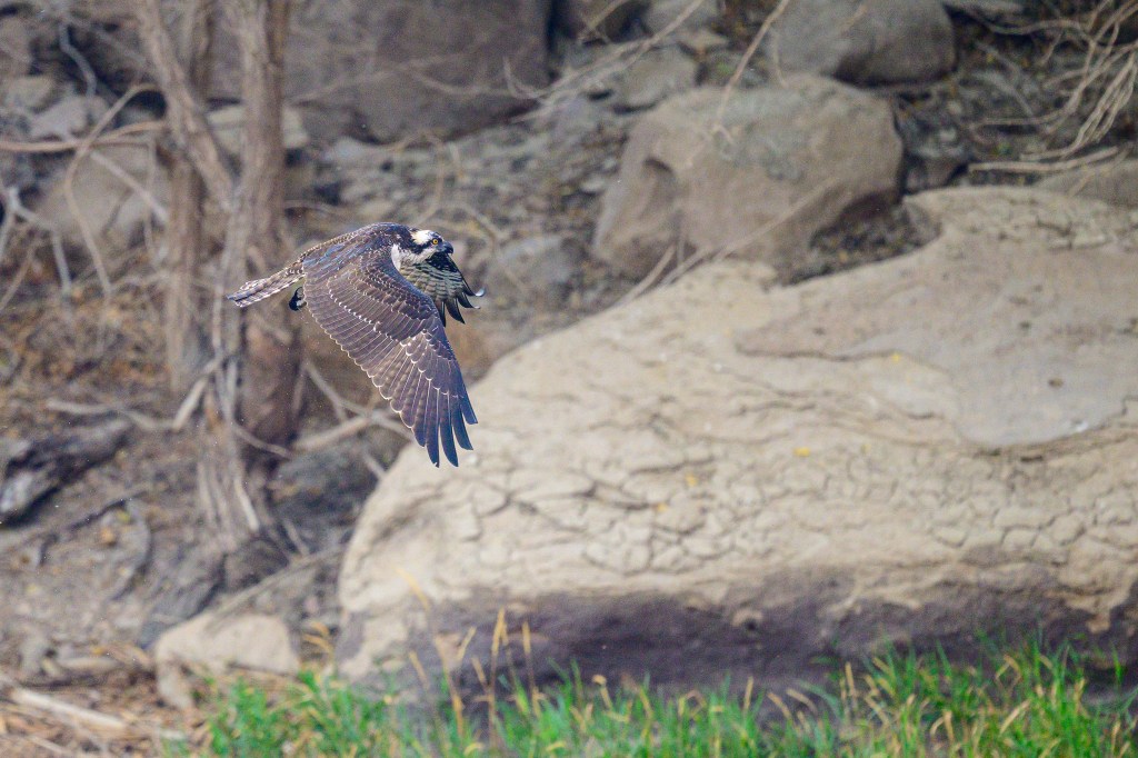
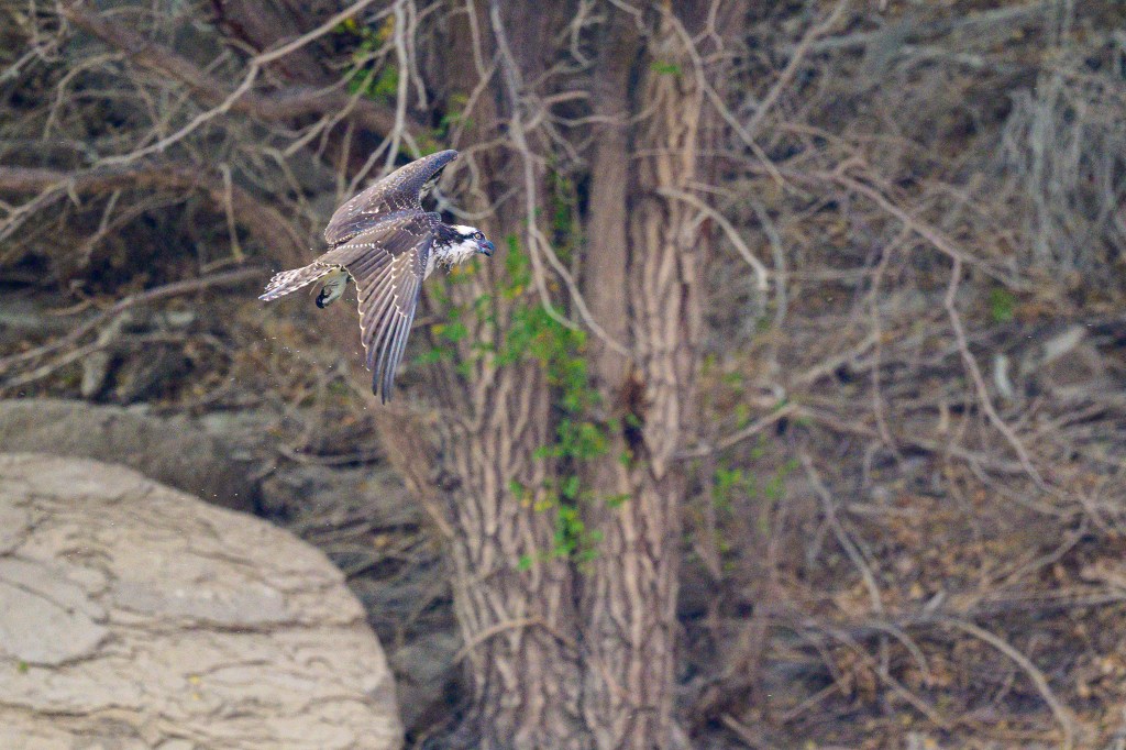
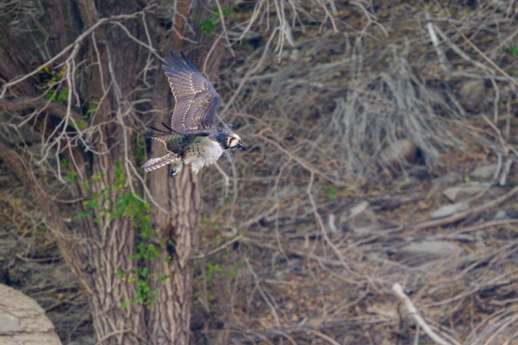
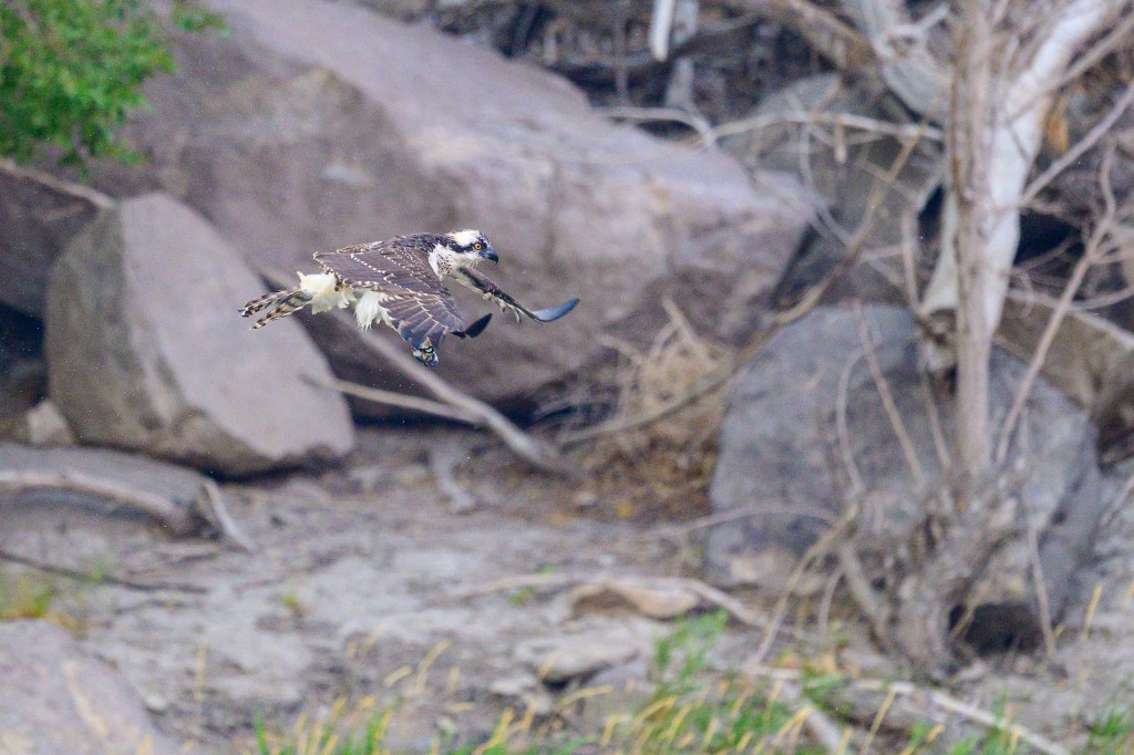
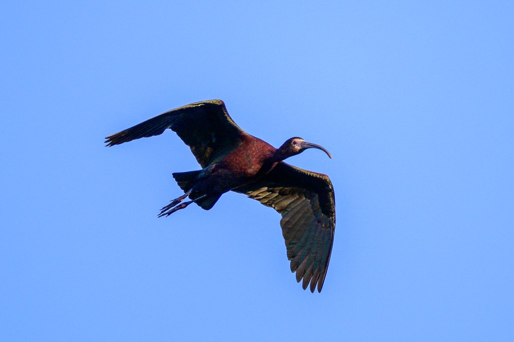
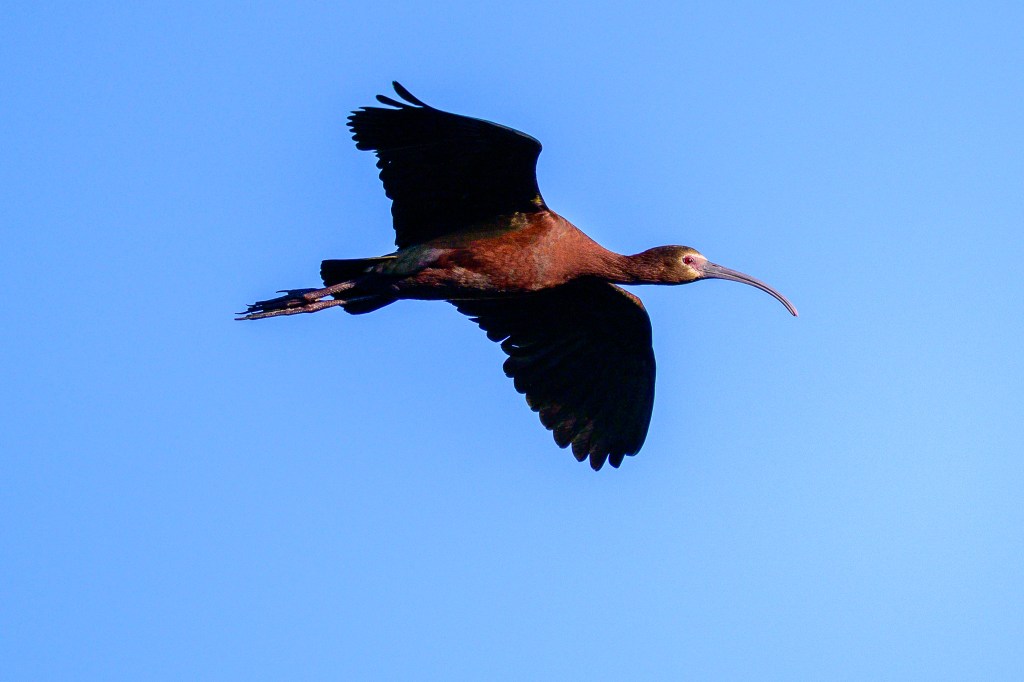
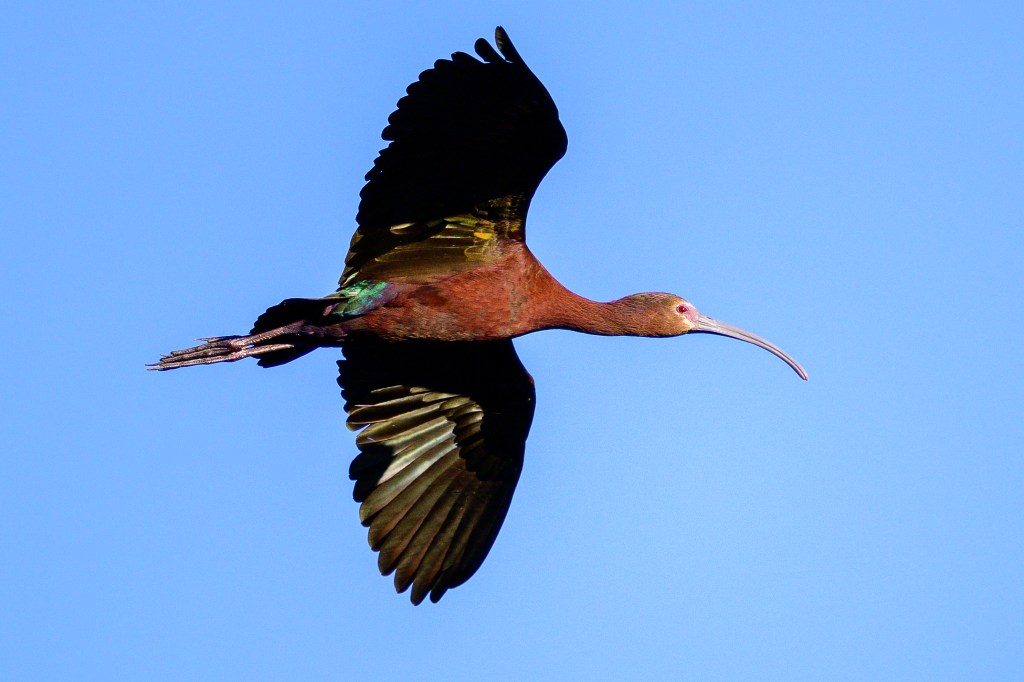
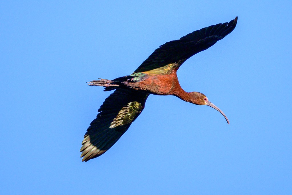
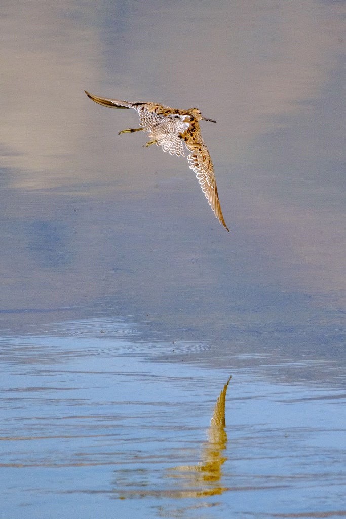
Surf Scoter
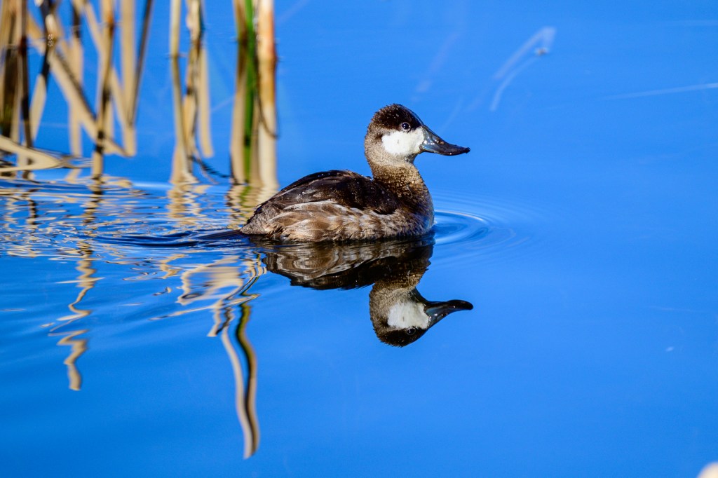
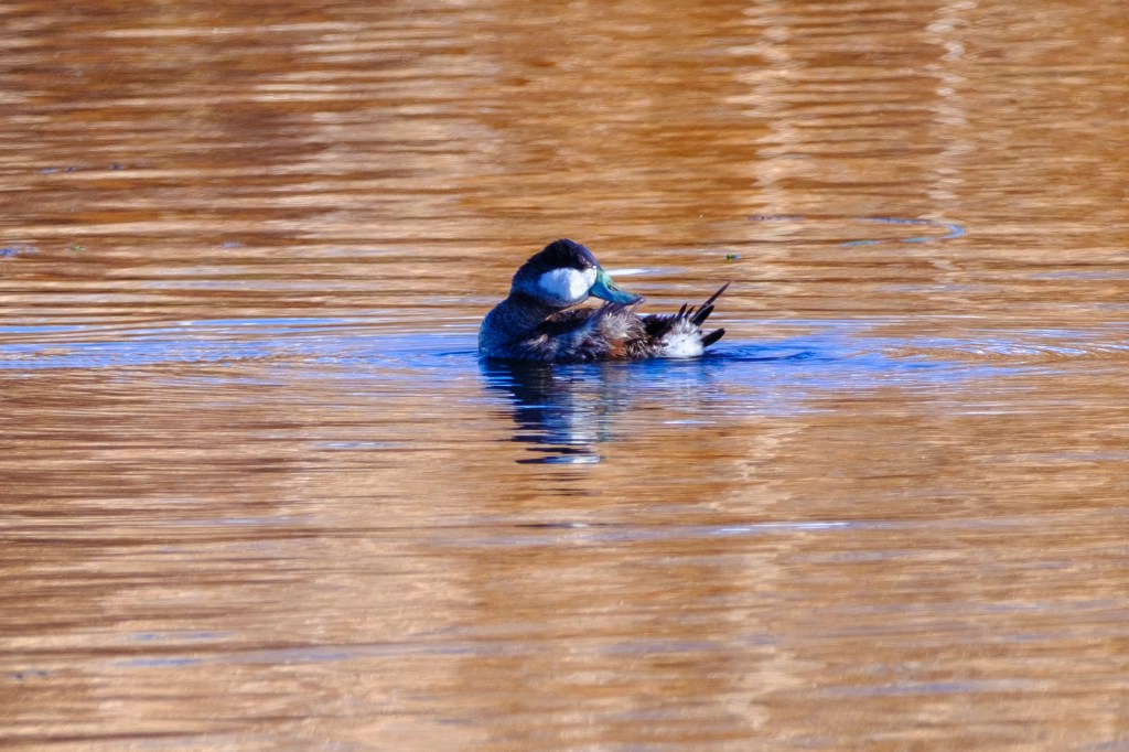
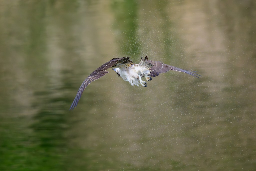
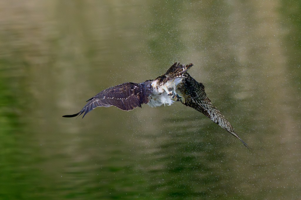
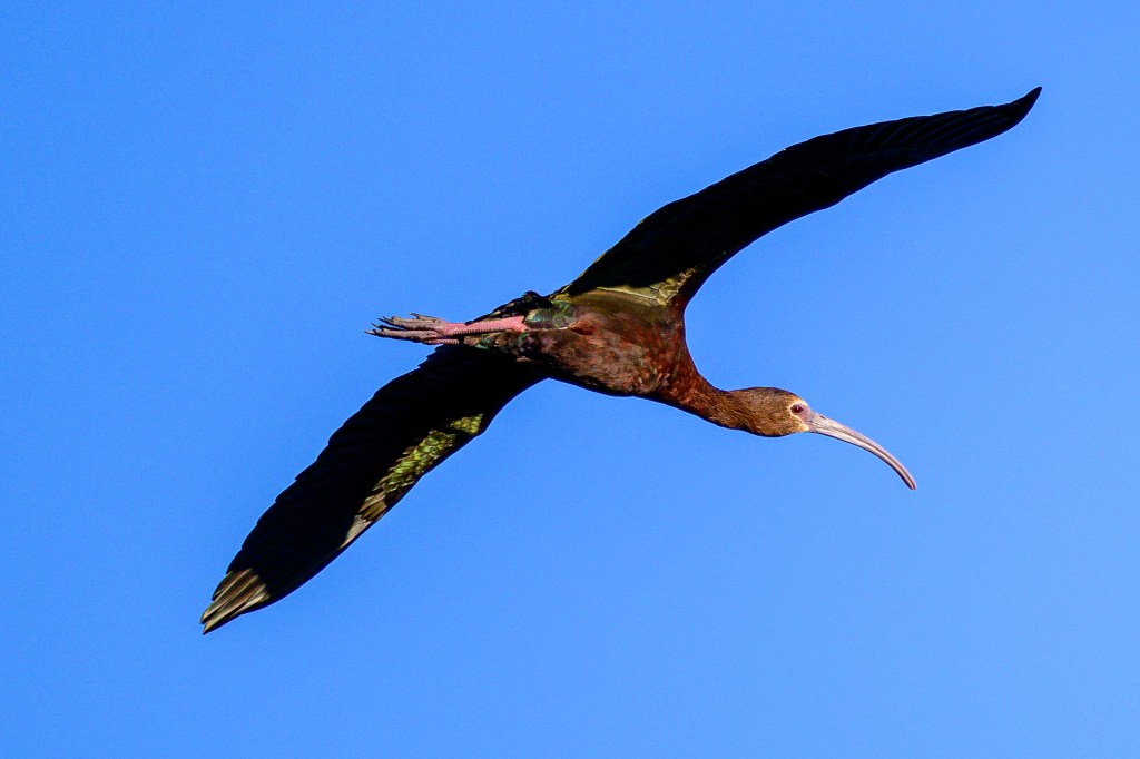
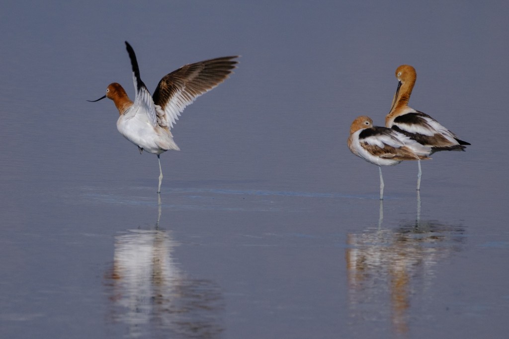
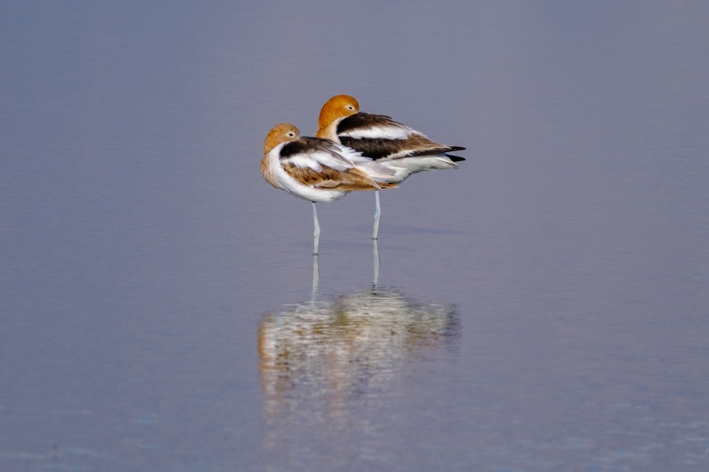
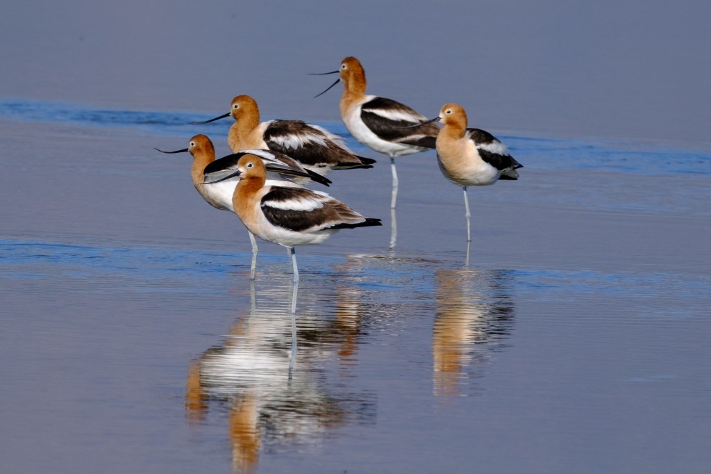
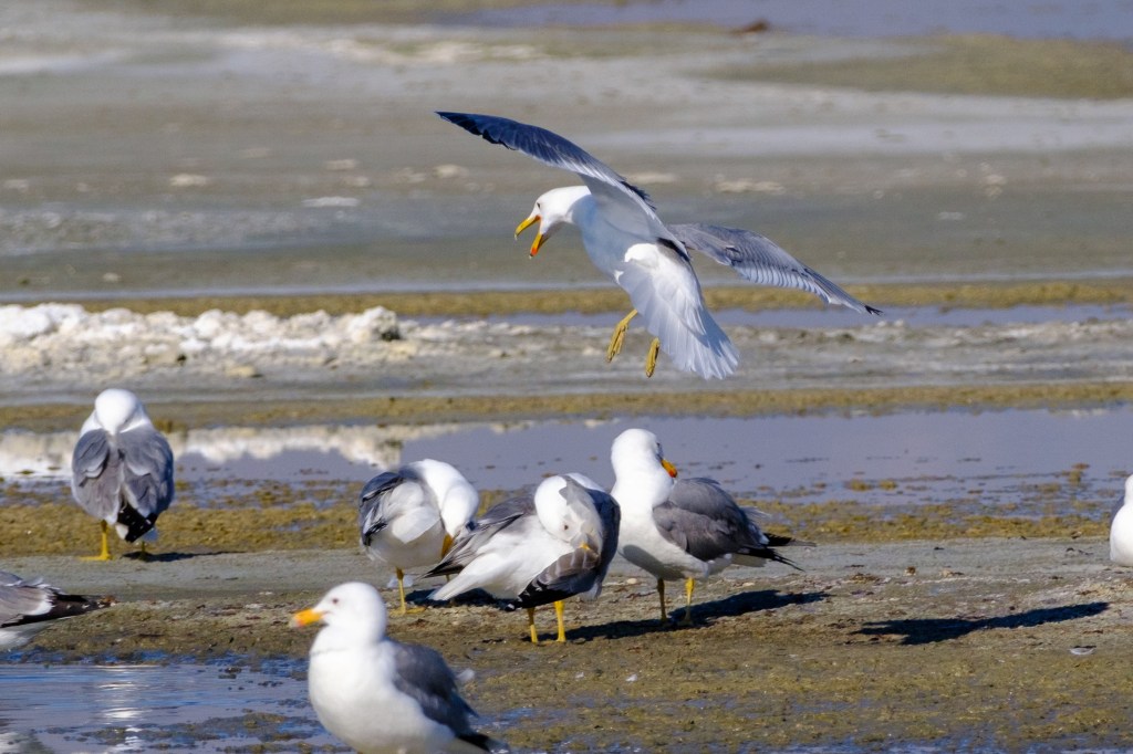
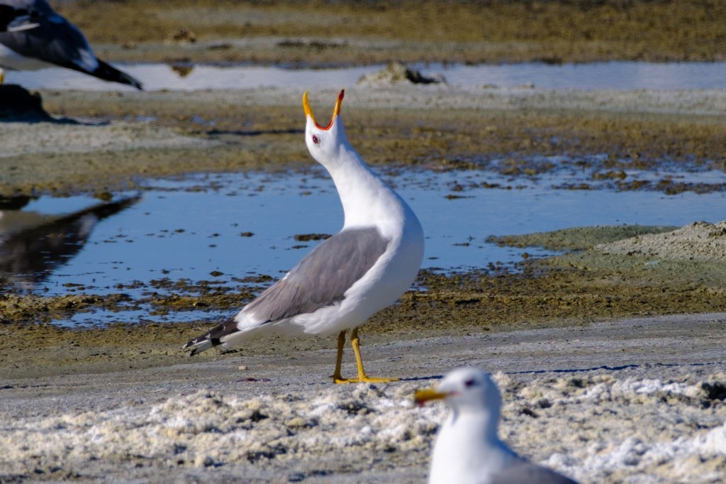
Below is a female Surf Scoter, which I photographed on Nov 12, 2025. This bird brought me 15 minutes of fame. I’ll explain below.
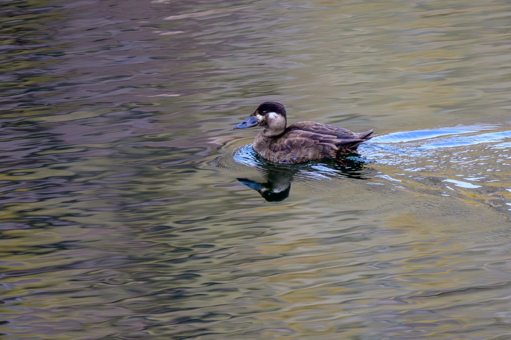
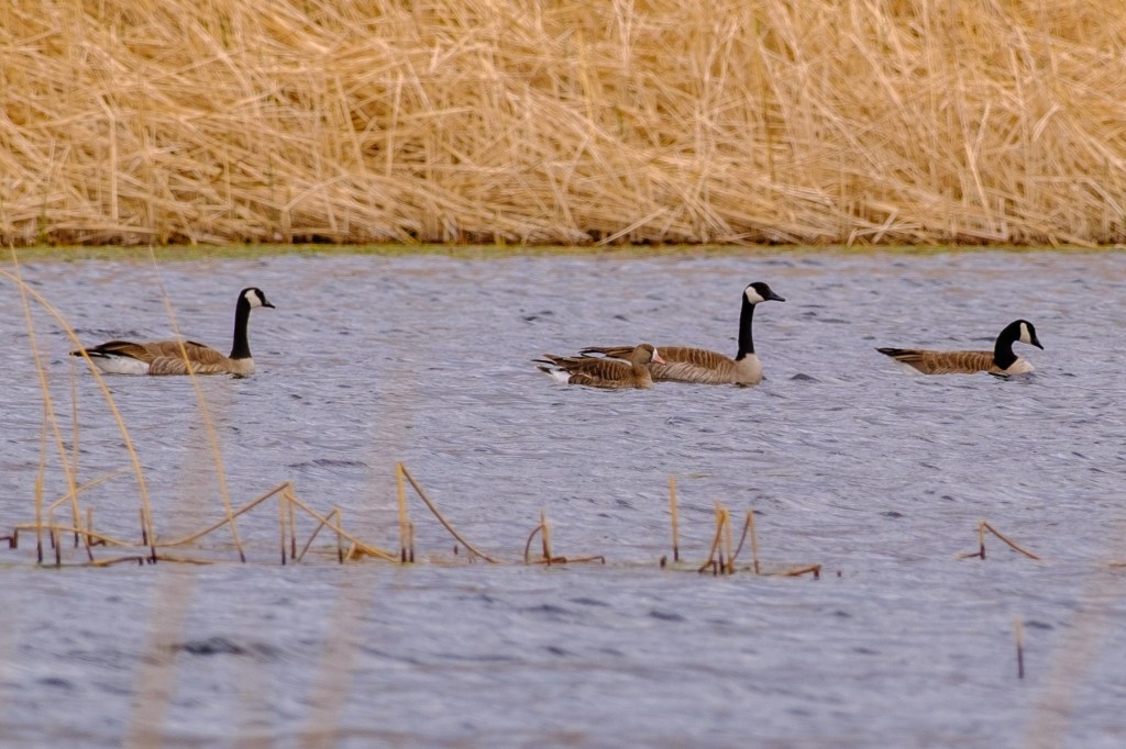
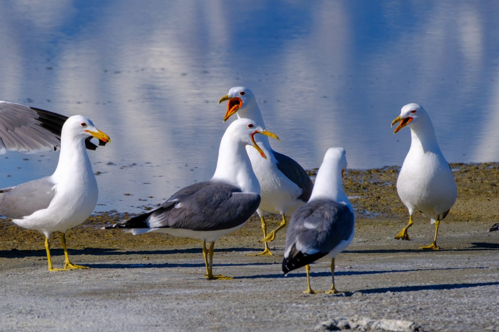
Some birders engage in a competition to count the greatest number of species in their area during each year. In the digital era, they report their findings to eBird, a website run by the Cornell Lab of Ornithology. During 2025, for example, Nancy Overholtz was the leader for Inyo County, with 301 different species that she saw in our county. Rosie Howard was close behind with 297, and Chris Howard was third at 284. These people are superb birders; in a year, they see more species than I’ve seen in my lifetime. (They also happen to be nice people who are happy to share their bird knowledge with others.)
On Nov 12, I spotted the Surf Scoter at the Reservoir and snapped a few images. I realized this was a female Surf Scoter, a bird that I have photographed on the coast. It sports a strange, bulging bill that seems ill-fitted to its face. This bird does not belong here, over 100 miles inland; they are rarely show up here. By luck, I was the first person to spot this bird species in Inyo County during 2025; or at least the report it. I posted my find to eBird and sent email messages to Nancy, Rosie, and Chris; before the sun set, they traipsed to the Reservoir and saw this bird. So I was briefly famous to a few people. OK, not actually famous, but at least notable?
Full disclosure: I was Inyo birder number 640 with just 12 species seen during 2025. In my defense, I don’t report the birds I see, I only made the report for Nov 12. If I were to report faithfully, I suspect I could break into the top 100 for Inyo County!
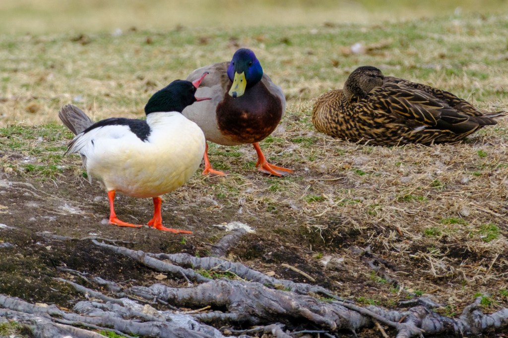
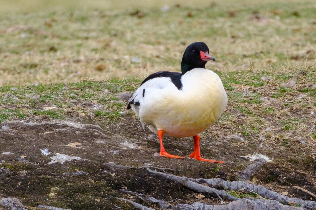
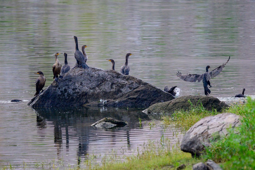
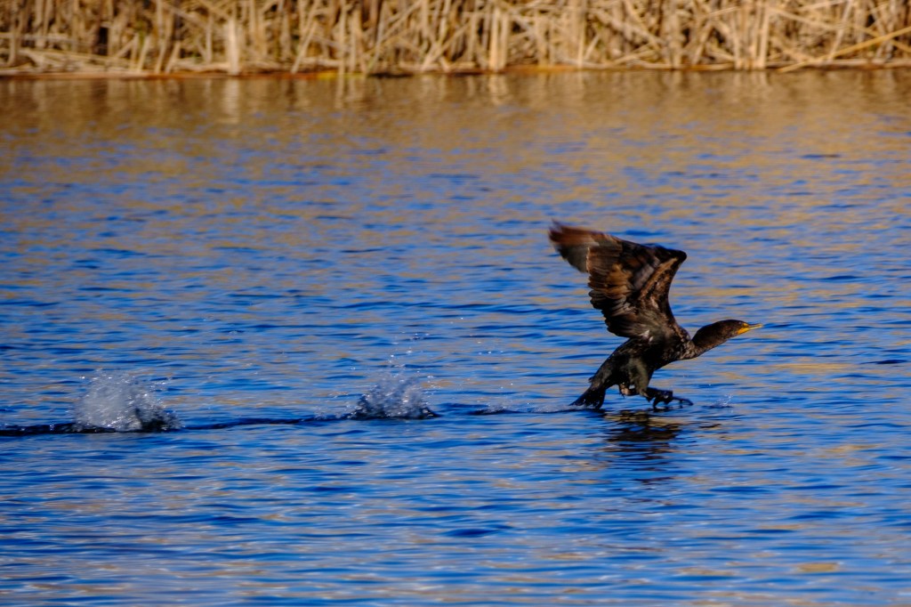
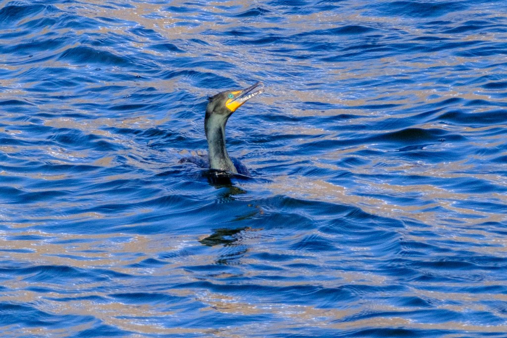
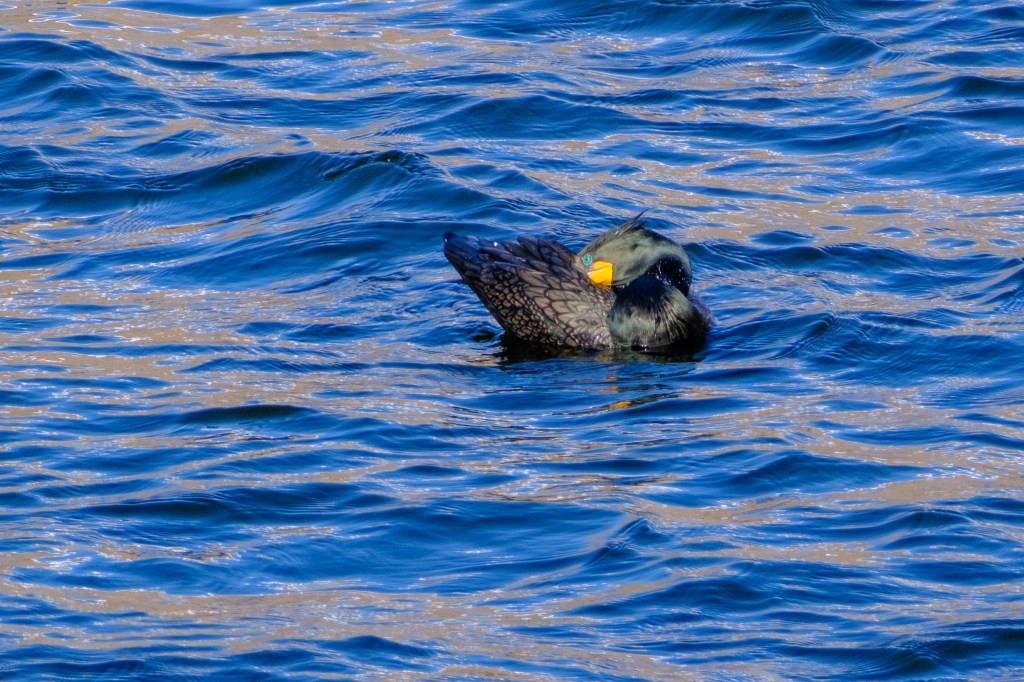
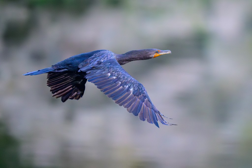
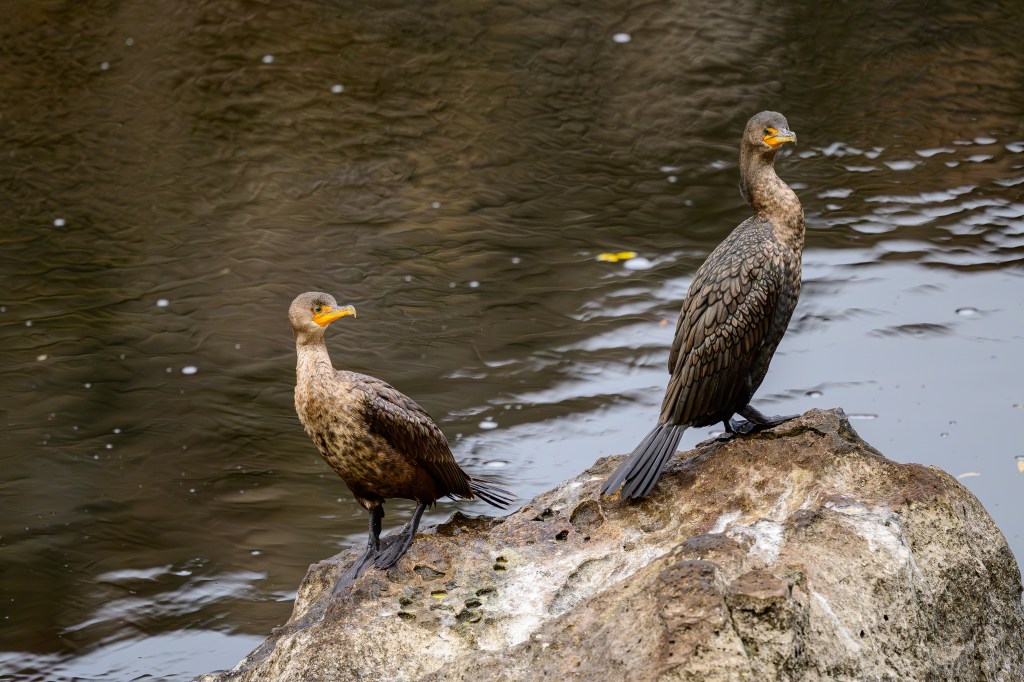
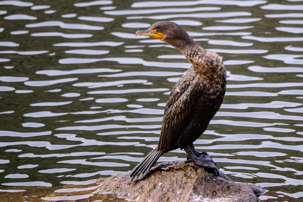
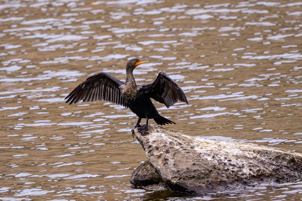
Double-crested Cormorant
California has only one inland cormorant species, the Double-crested. They are at Pleasant Valley Reservoir year-round. I try to get sharp images of their lovely feather patterns and colors. Their blue eyes look like buttons sewn to their faces. Look at the third photo below. Doesn’t it look as if there are yellow stitches around the eye?
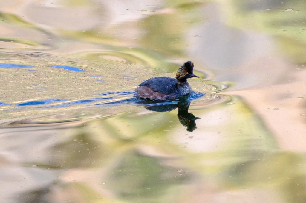
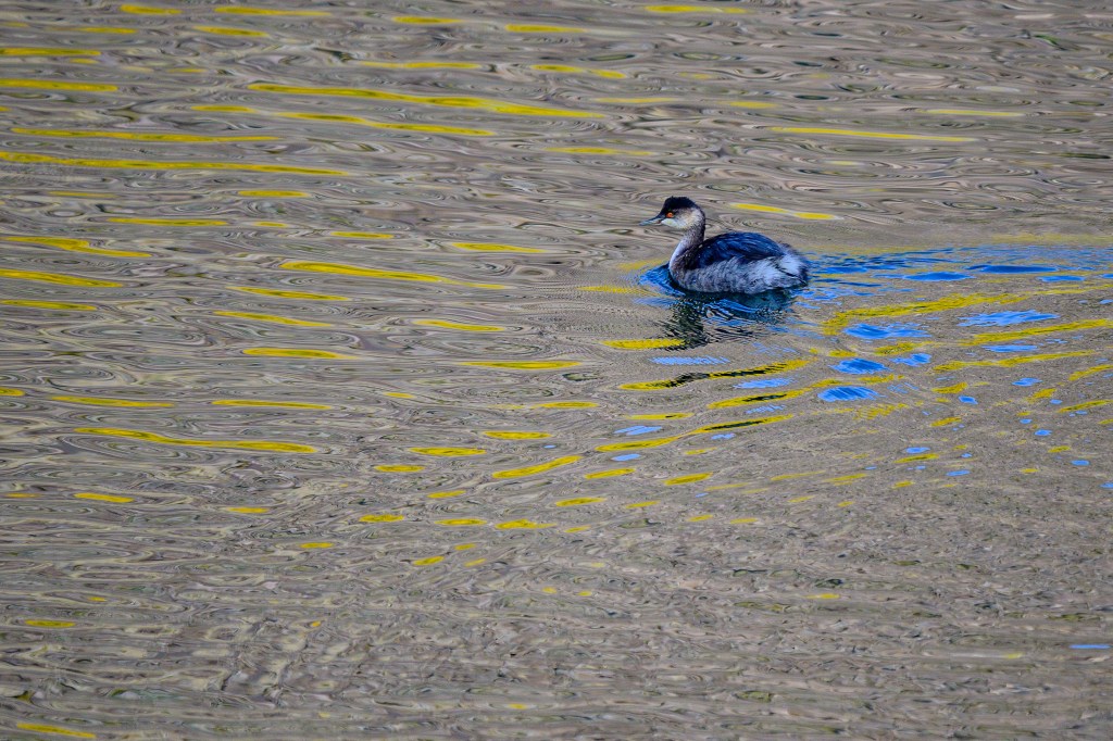
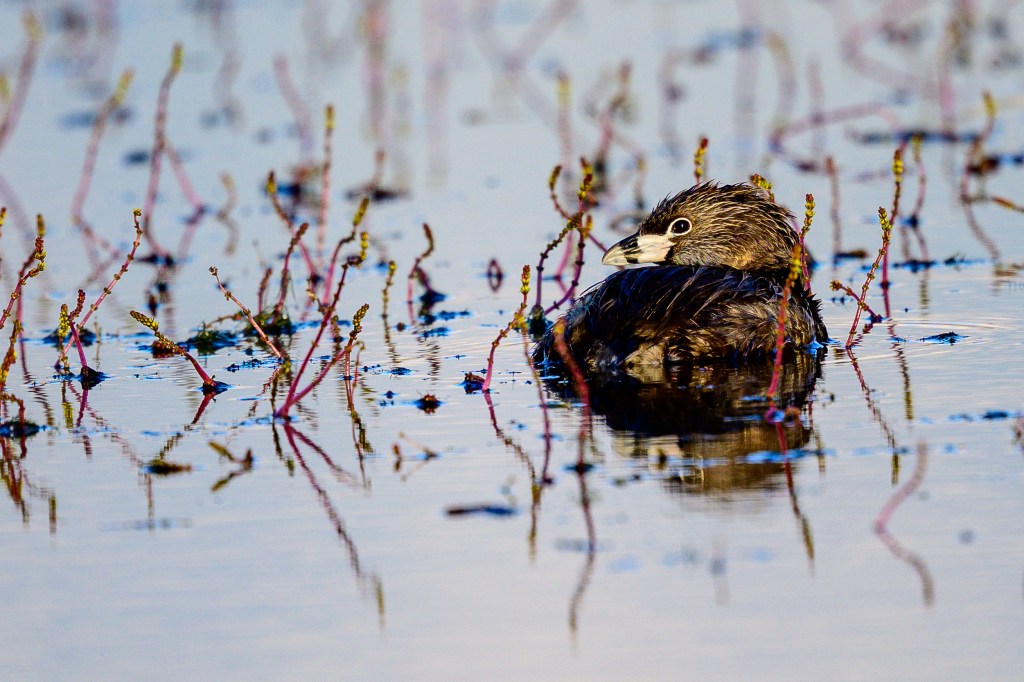
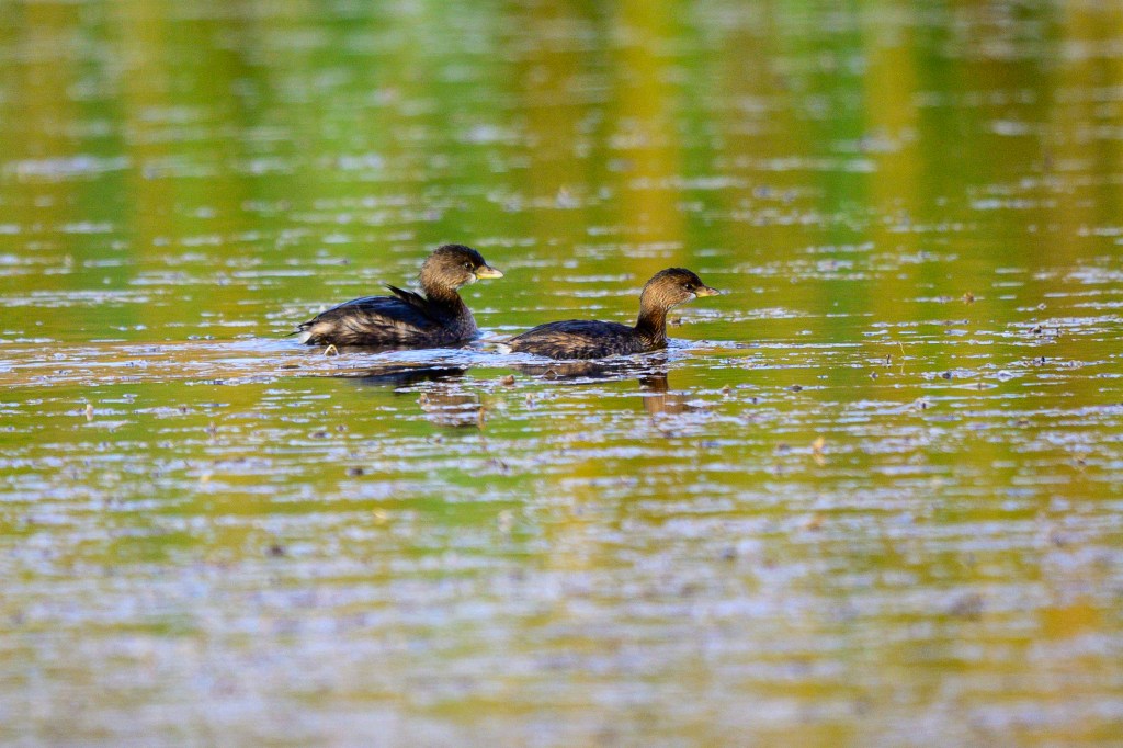
Grebes
Below is an Eared Grebe. The “ears” are feathers that appear only during breeding season; so there are no “ears” in this photo
Pied-billed Grebes are smaller. The ones below have been at the Buckley Ponds for months, but these Grebes also appear at the Reservoir and in other locations. “Pied” means multi-colored, white and brown, or white and black; an old-fashioned word that people usually apply to horses.
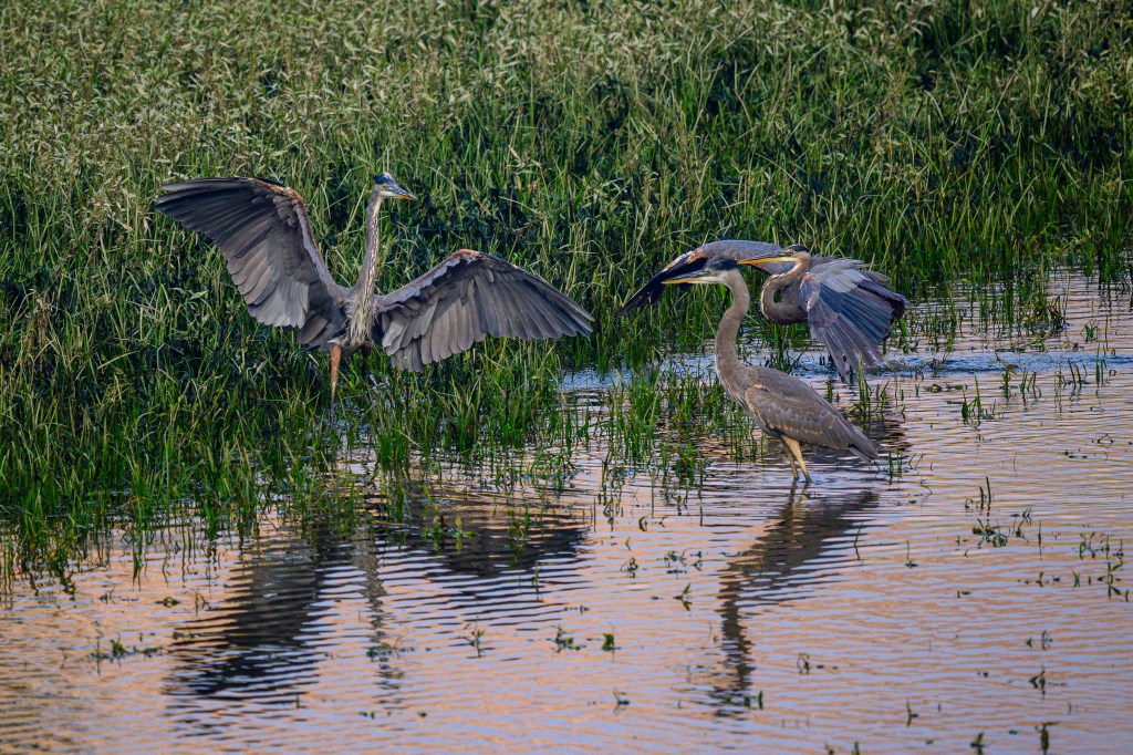
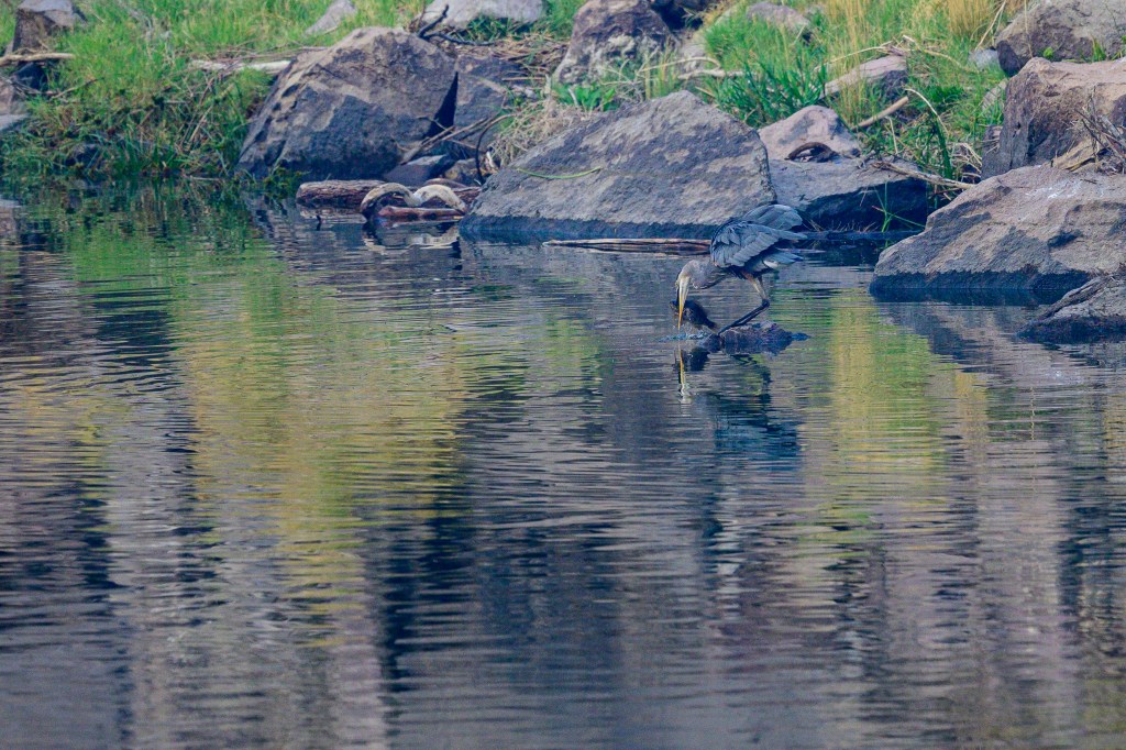
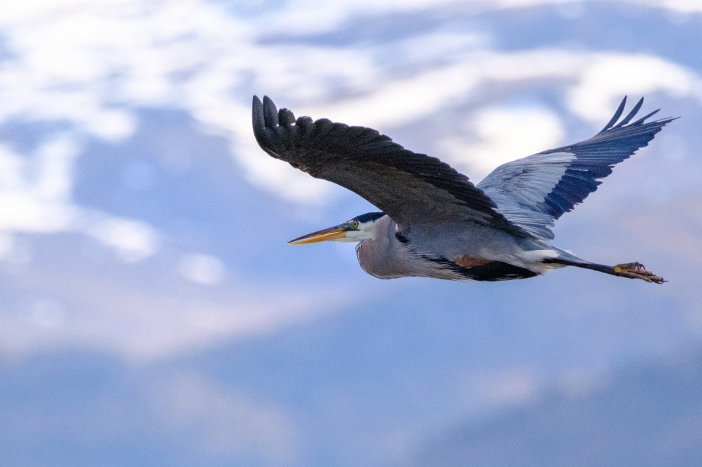
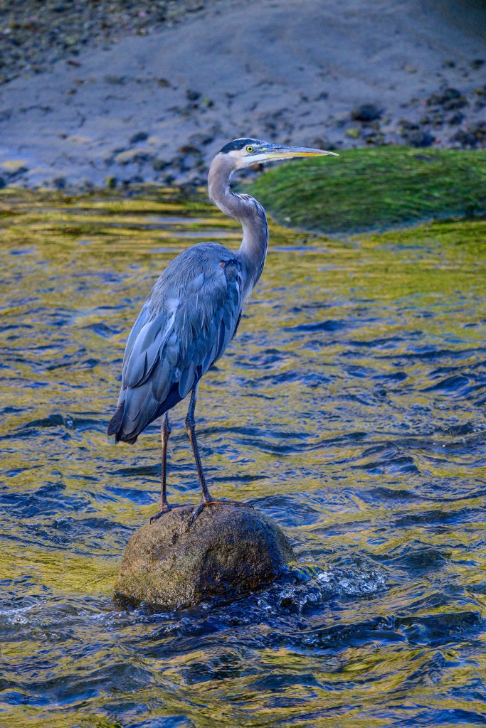
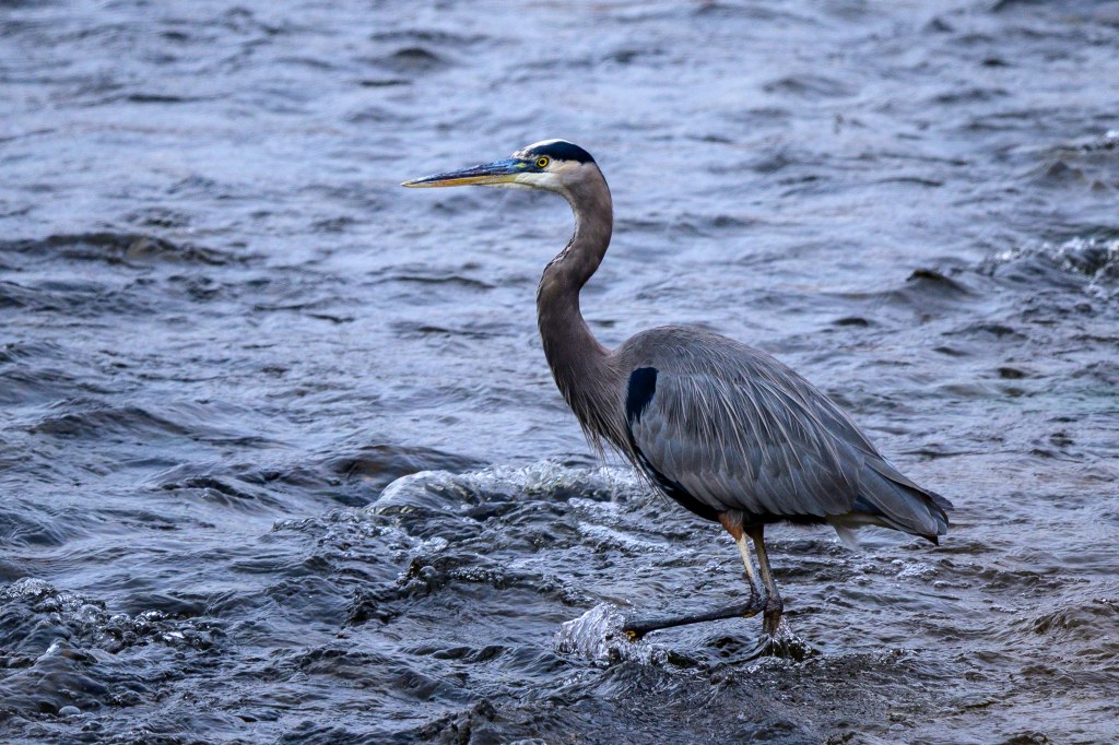
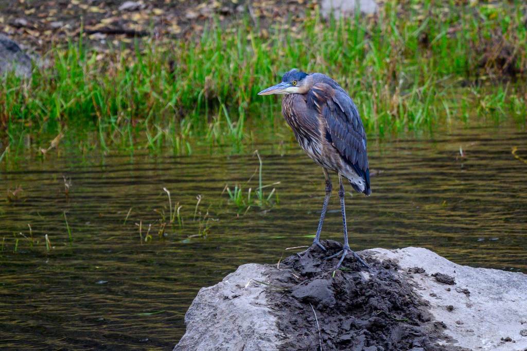
Great Blue Heron
Three photos from the Reservoir and the Owens River.
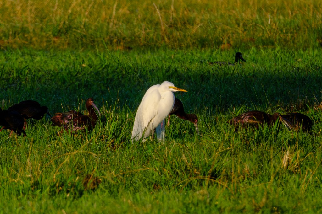
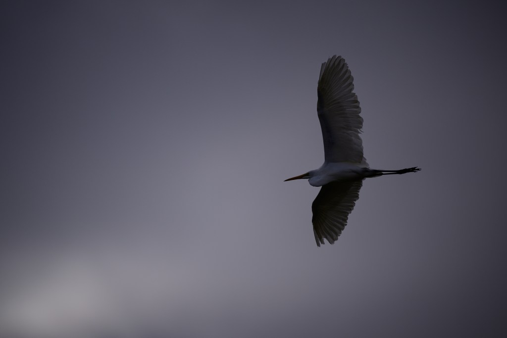
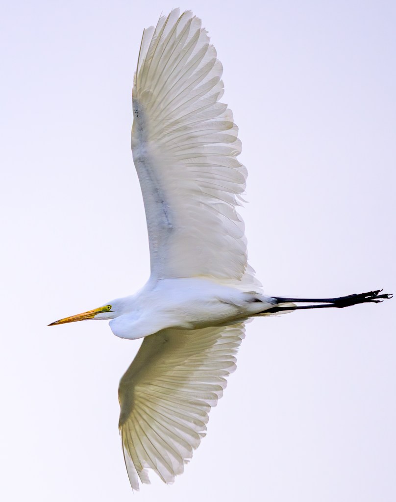
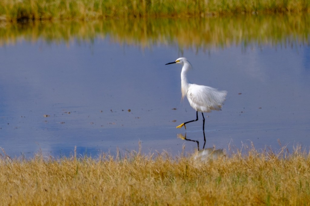
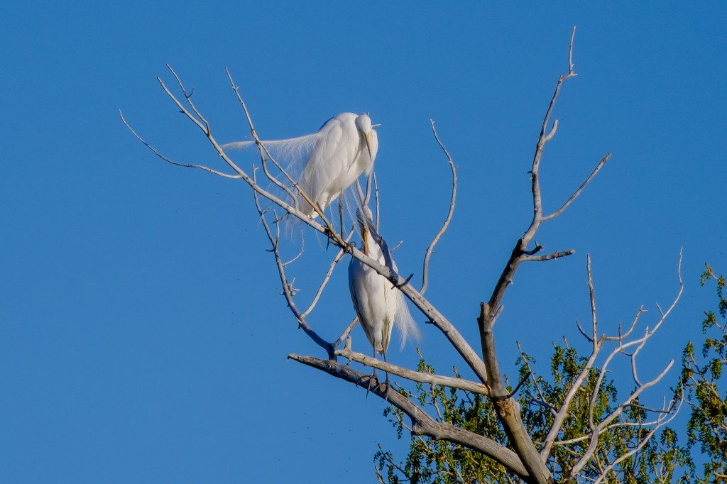
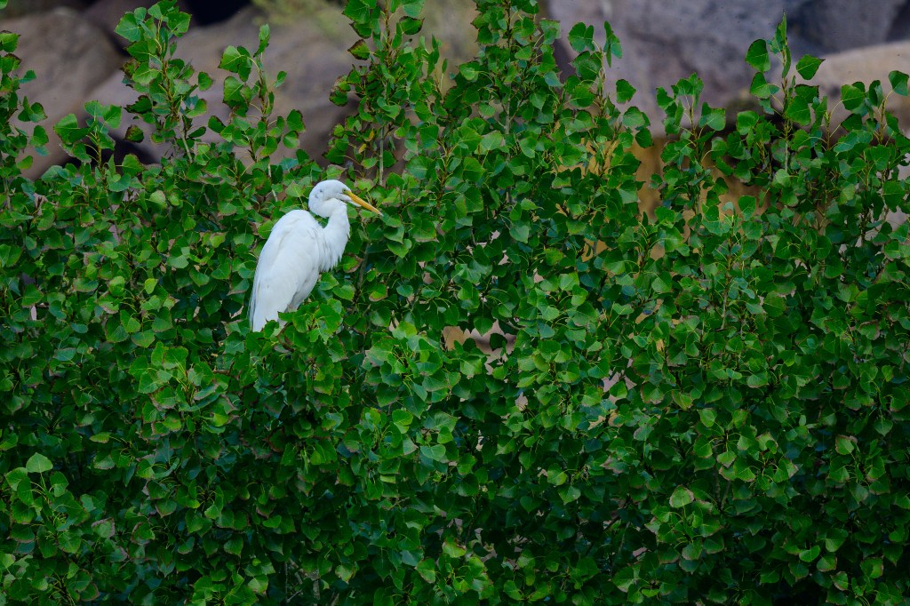
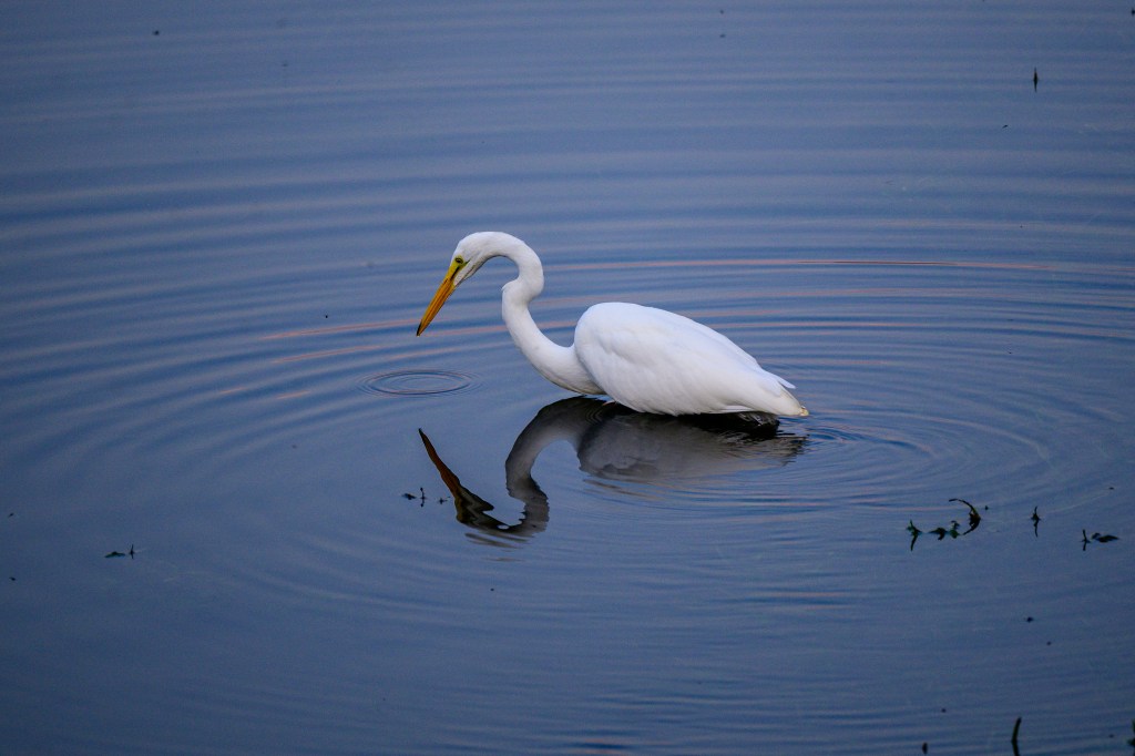
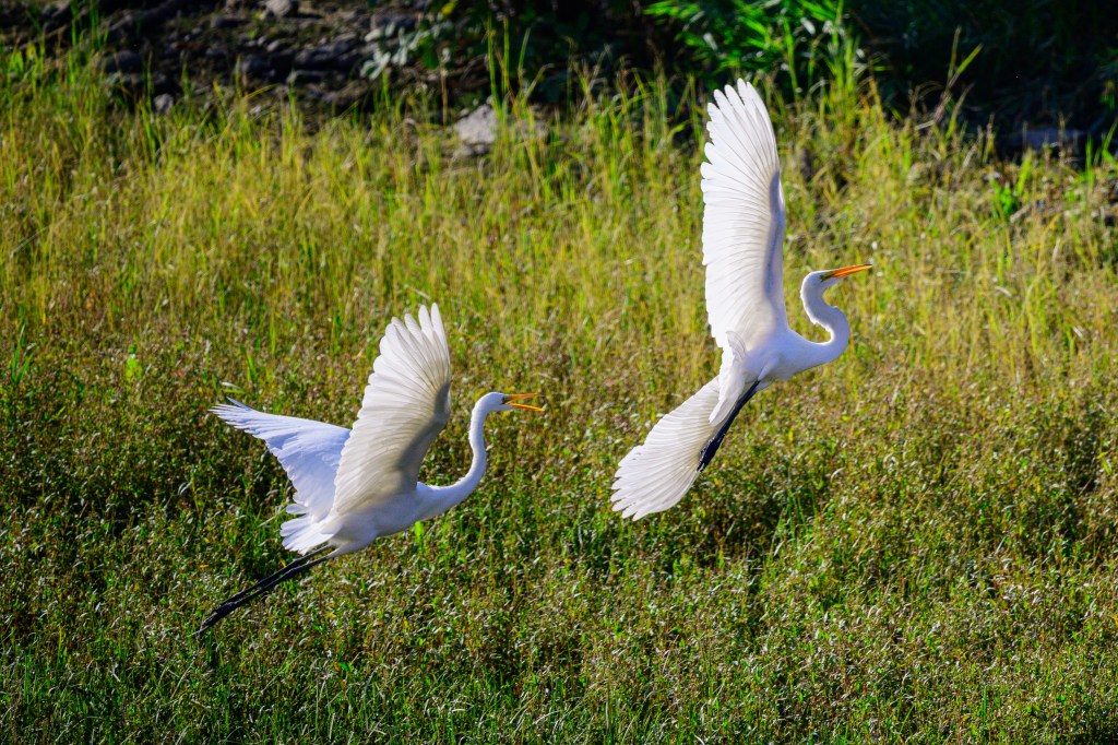
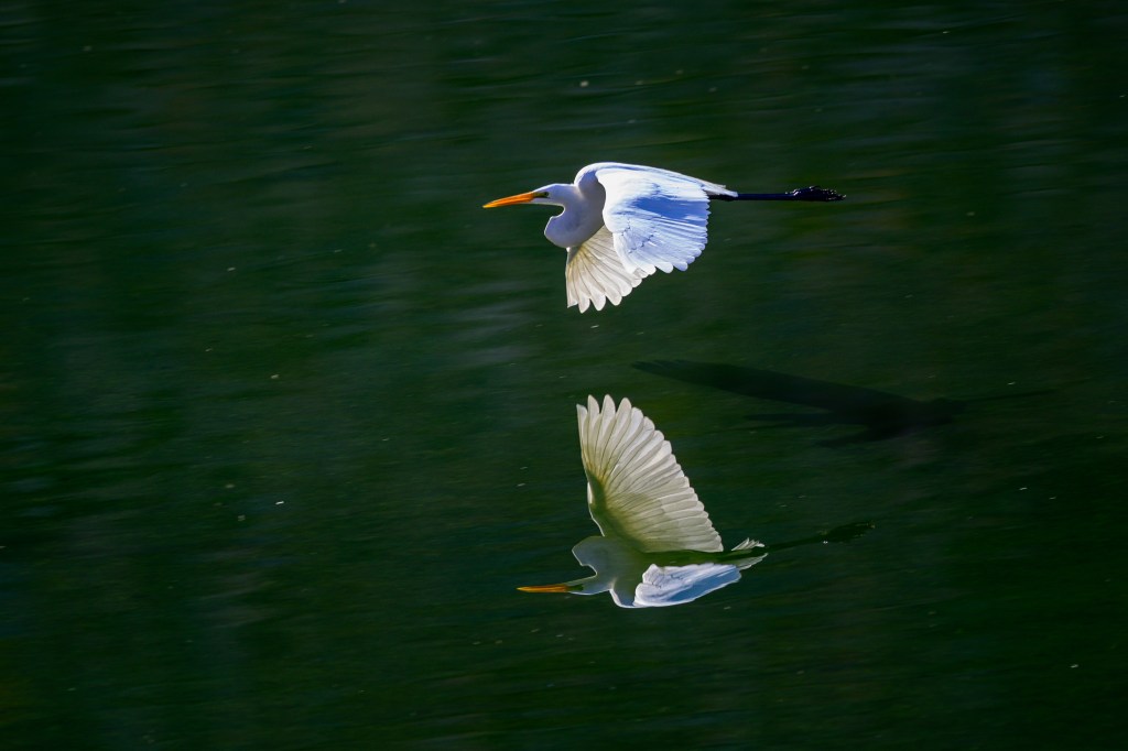
Great Egret
Four images of Great Egrets at the Pleasant Valley Reservoir in late September. The first shows an Egret high up in a tree. It is common to see Egrets and Herons up in trees. I suppose they perch there for a location where they can take a break and be safe. But they always seem out-of-place to me.
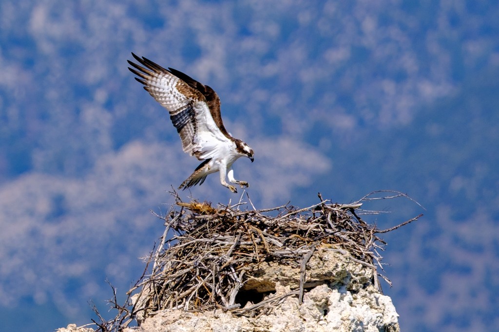
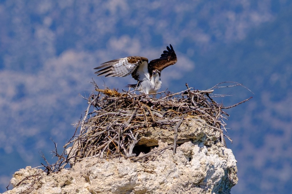
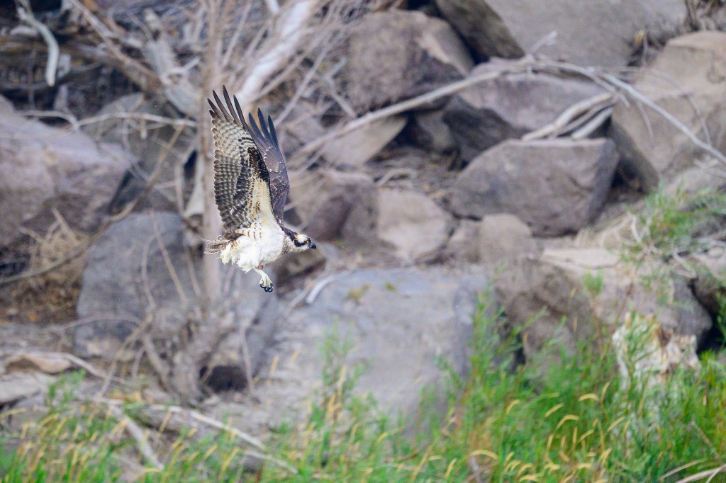
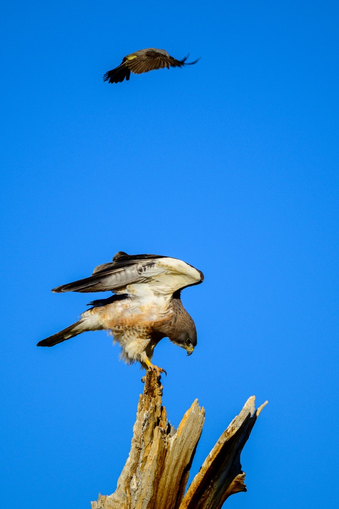
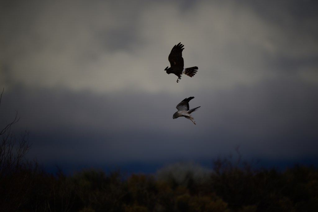
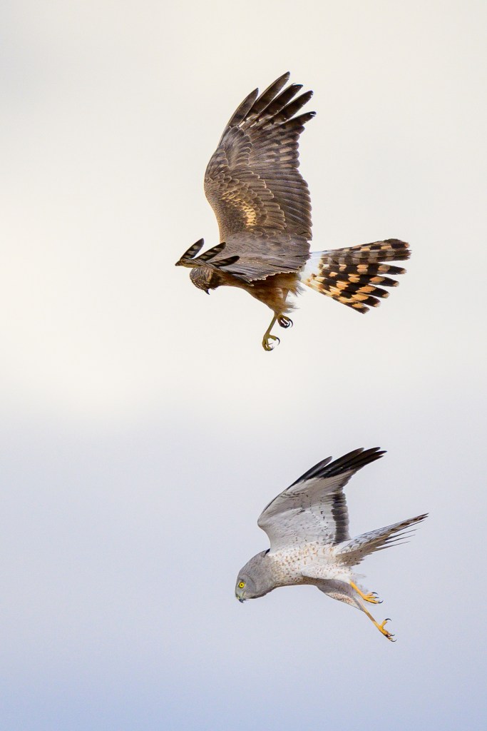
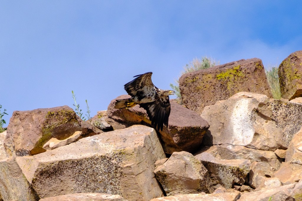
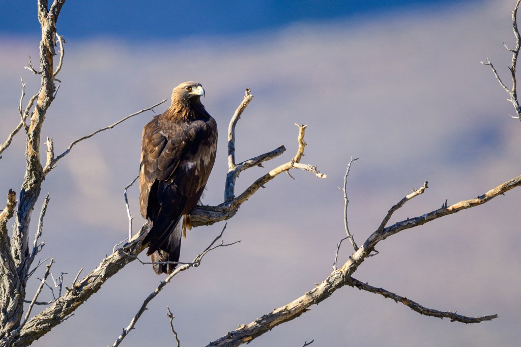
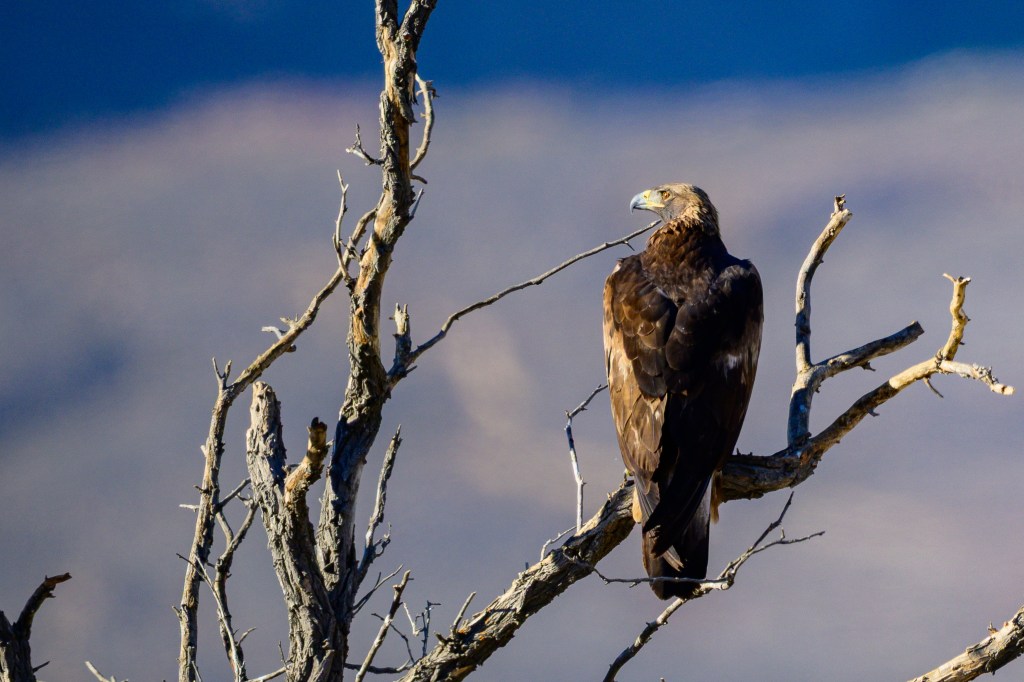
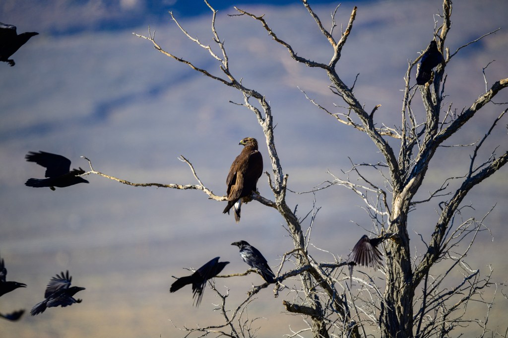
Golden Eagle
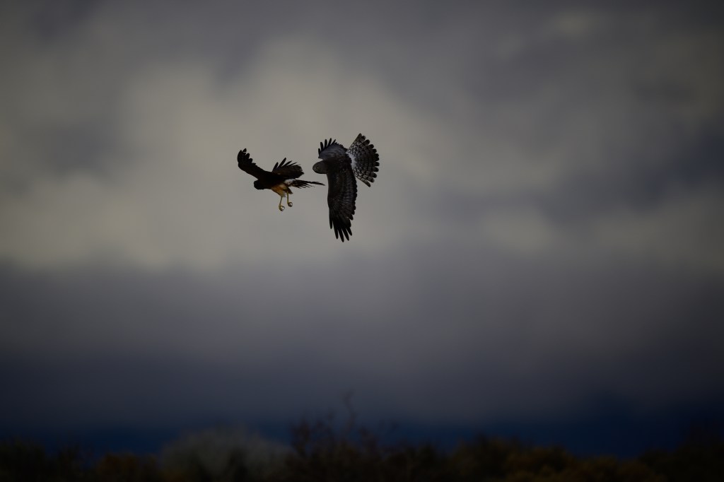
Below is a Golden Eagle near Warms Springs Road in November. Sometimes we see what we expect, rather than what is there. I’ve seen Bald Eagles at this location and initially that is what I thought I had photographed. But on reviewing the pictures, I realized that the golden feathers on the neck and the long bill were not those of a Bald Eagle. In the third photo, a flock of Ravens (or Crows) tries to intimidate this Eagle.
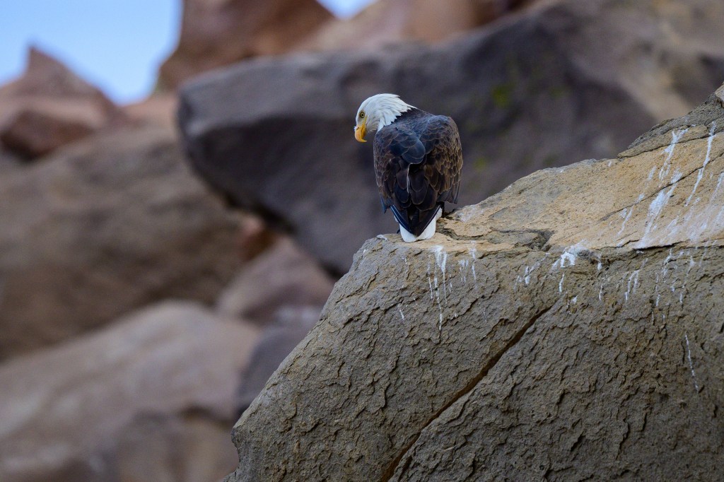
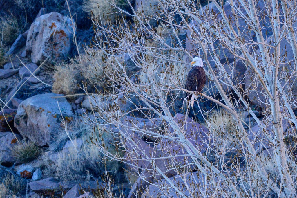
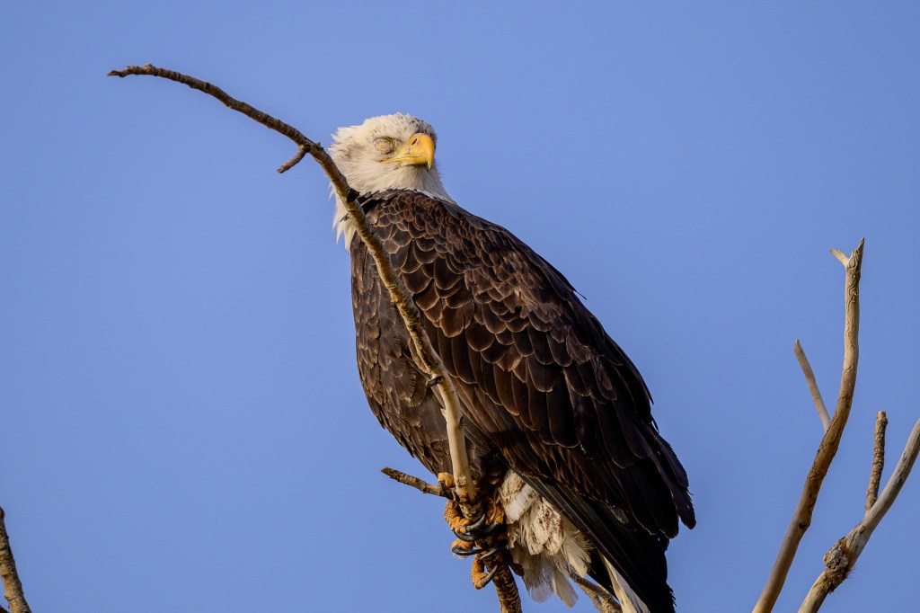
Bald Eagle
The first photo shows a Bald Eagle on the basalt boulders above the Reservoir.
Another Eagle at the Reservoir.
The next two photos show a Bald Eagle on Gus Cashbaugh Lane near Bishop.
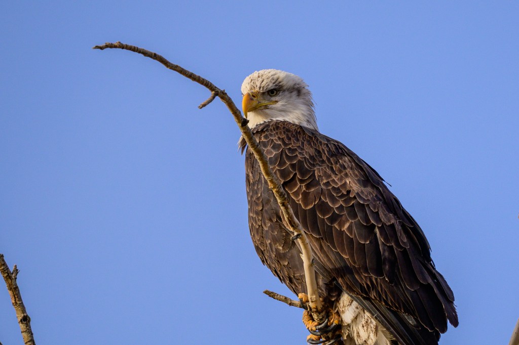
Birds have three eyelids; upper and lower lids, similar to those of humans, and a nictitating membrane, a translucent membrane that is under the eyelids. The nictitating membrane protects the eye in flight or from dust, but the bird can see through the membrane; sort of like a pair of goggles. It is common for me to photograph this membrane. Less common is to see the outer opaque eyelids, but you can see the eyelid over the bird’s right eye in the next picture.
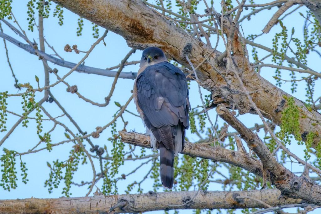
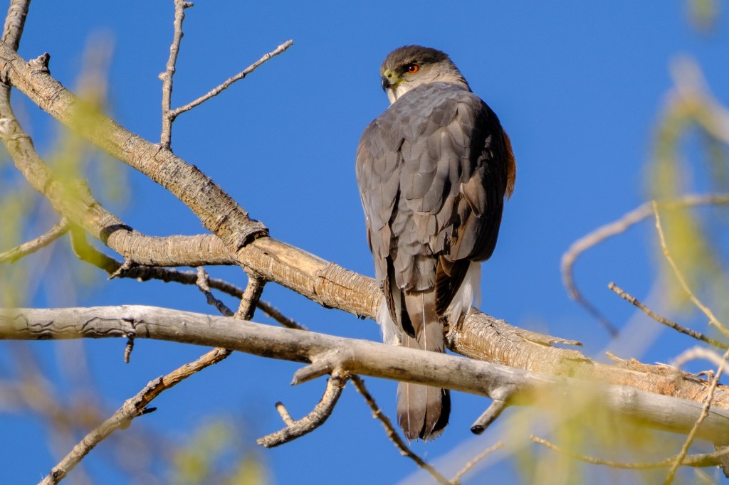
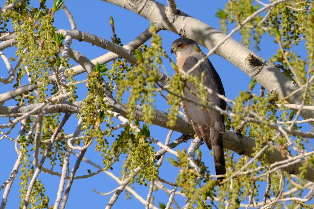
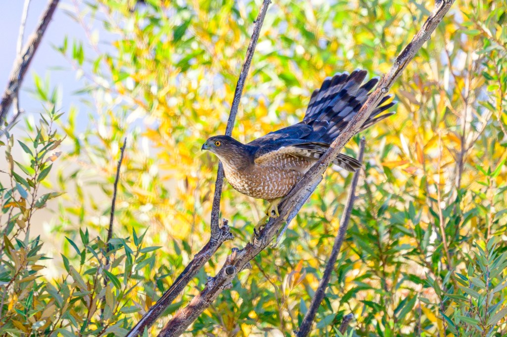
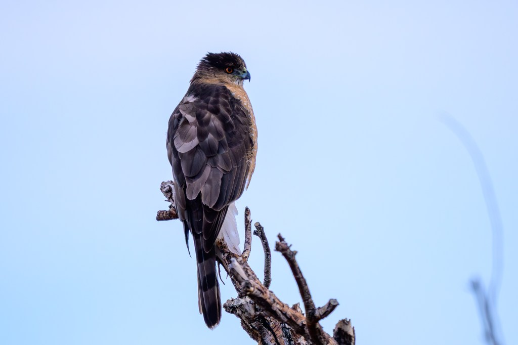
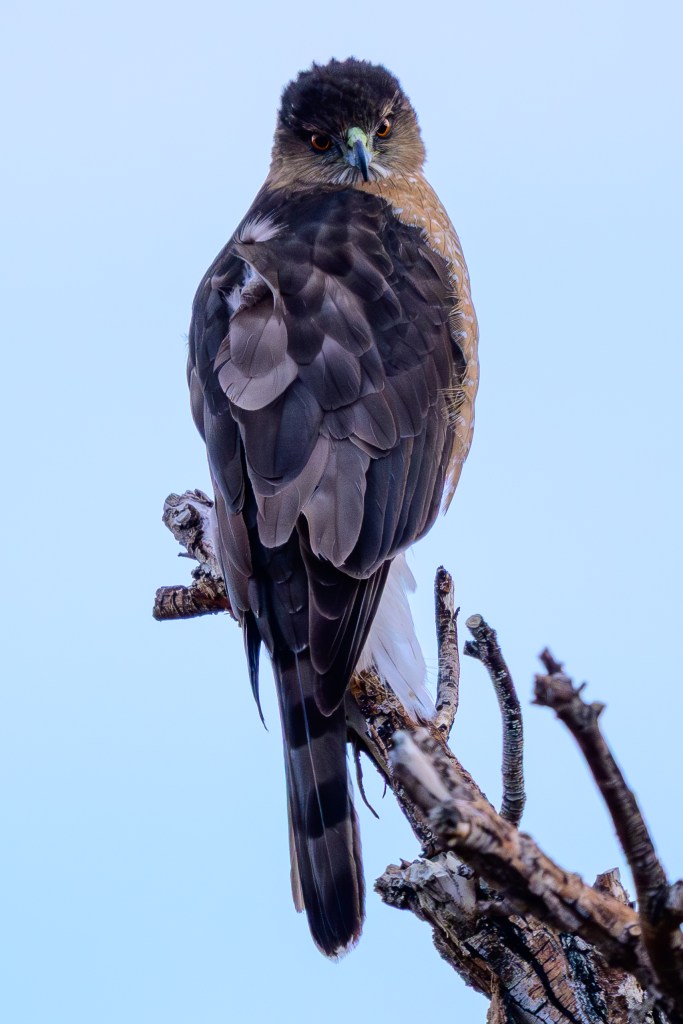
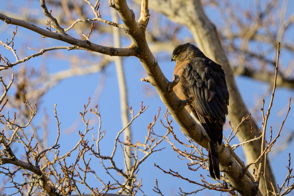
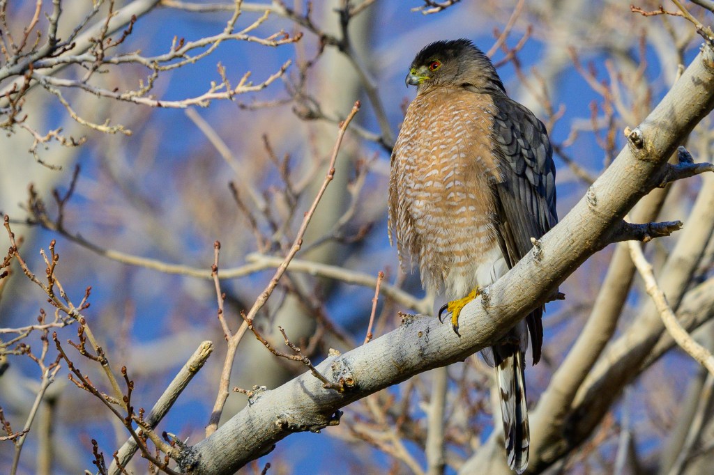
Cooper’s Hawk
Their long tails and colorful eyes make these hawks stand out. The first four photos were taken at the Buckley Ponds. In the first two photos, the iris is more yellow than red, indicating that this is a young bird.
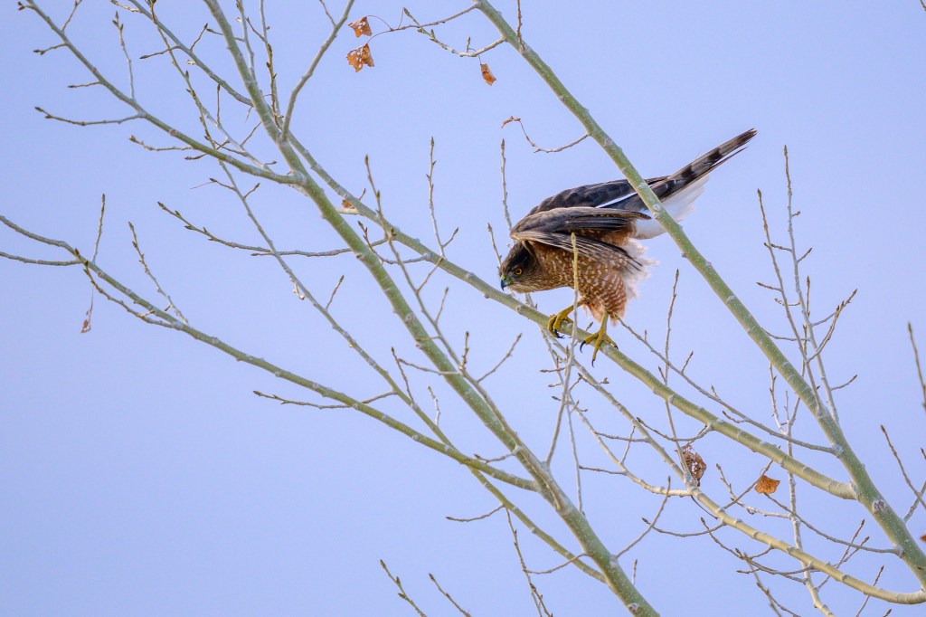
The next two pictures show a Cooper’s Hawk that was 100 feet south of my home. Sometimes these birds are in my backyard. To get these pictures, I just walked out my door and strolled down the street until I had a clear view.
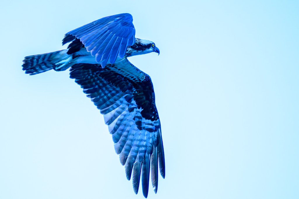
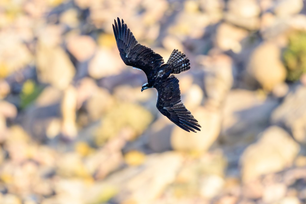
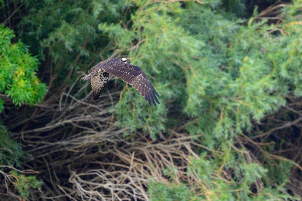
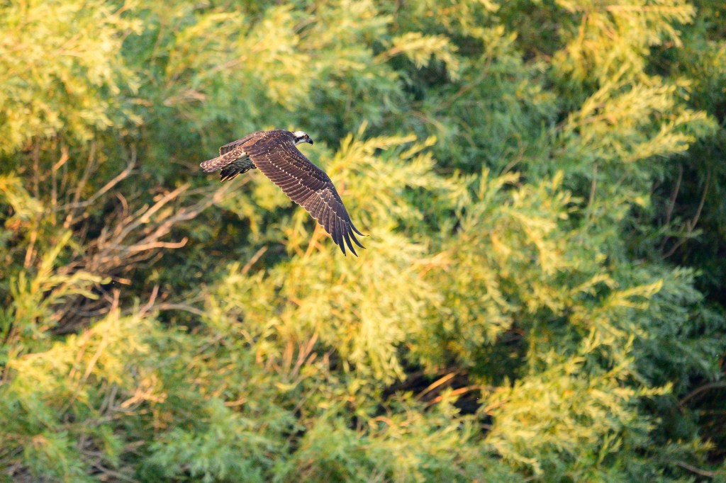
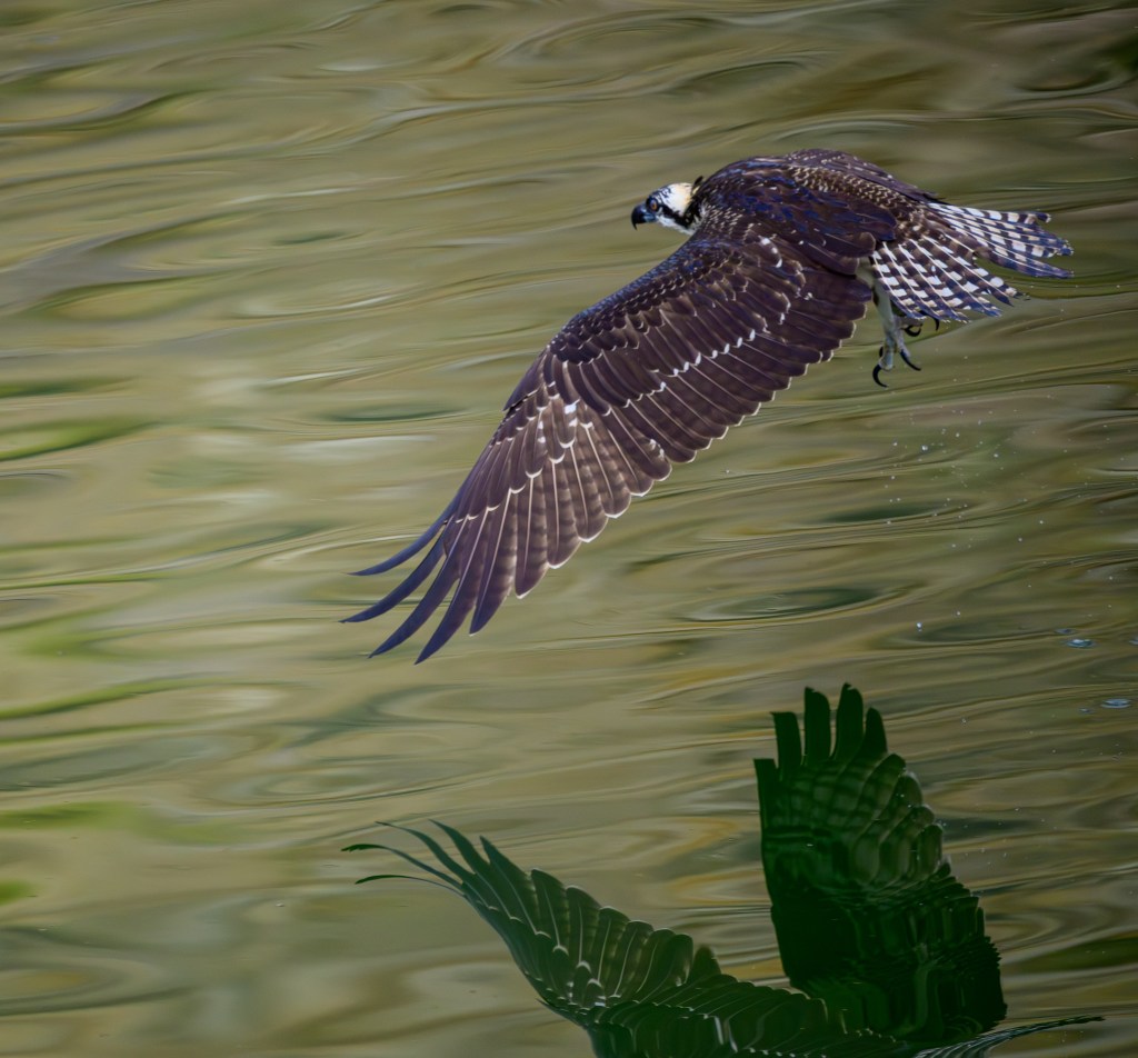
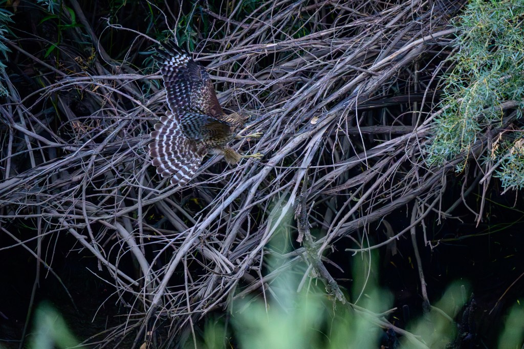
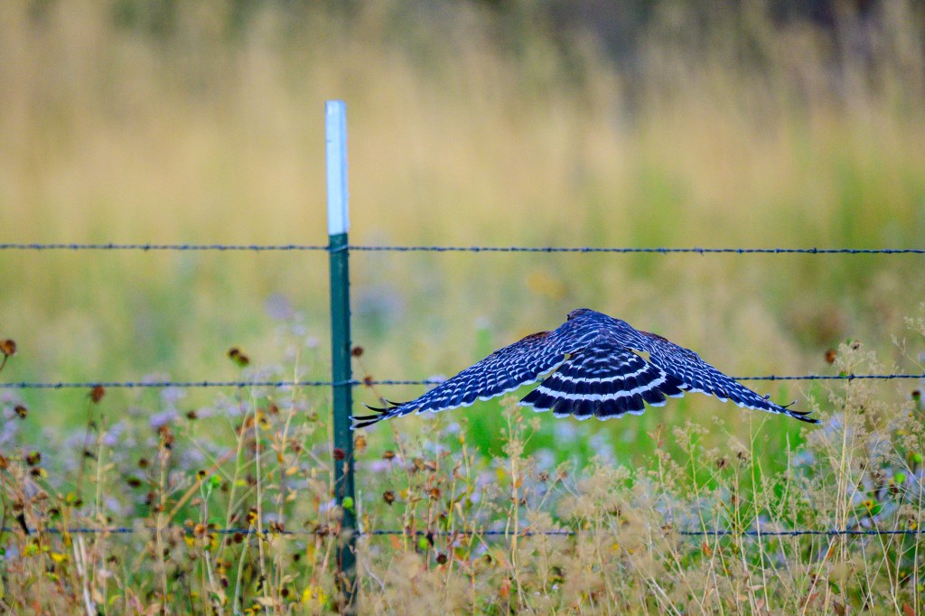
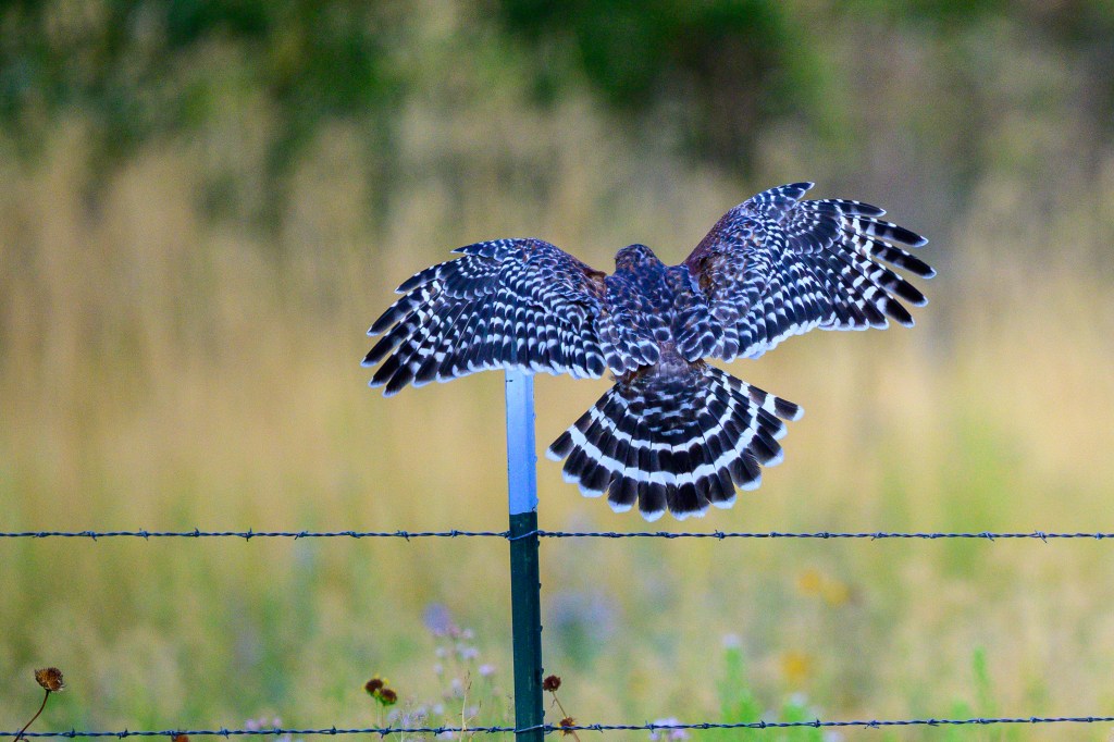
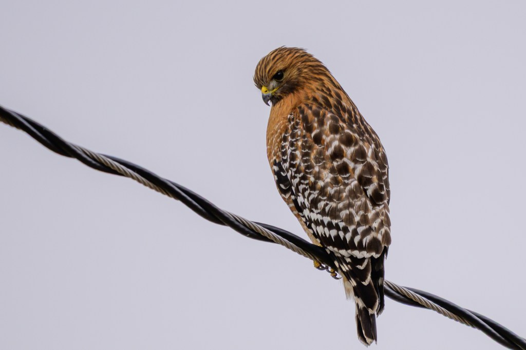
Red-shouldered Hawk
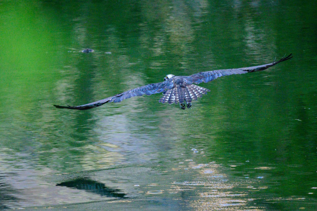
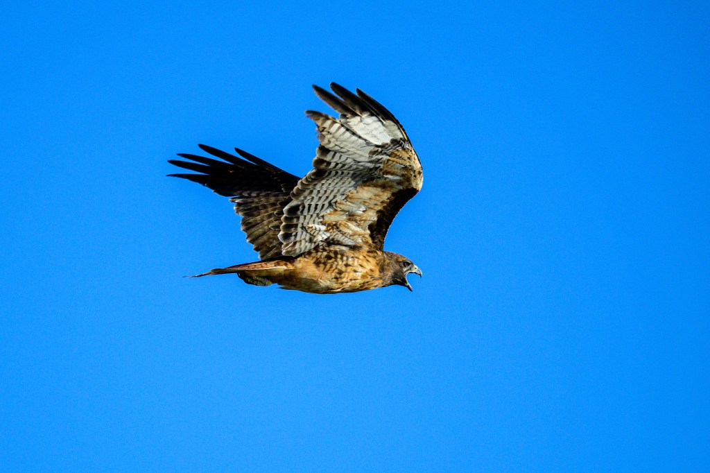
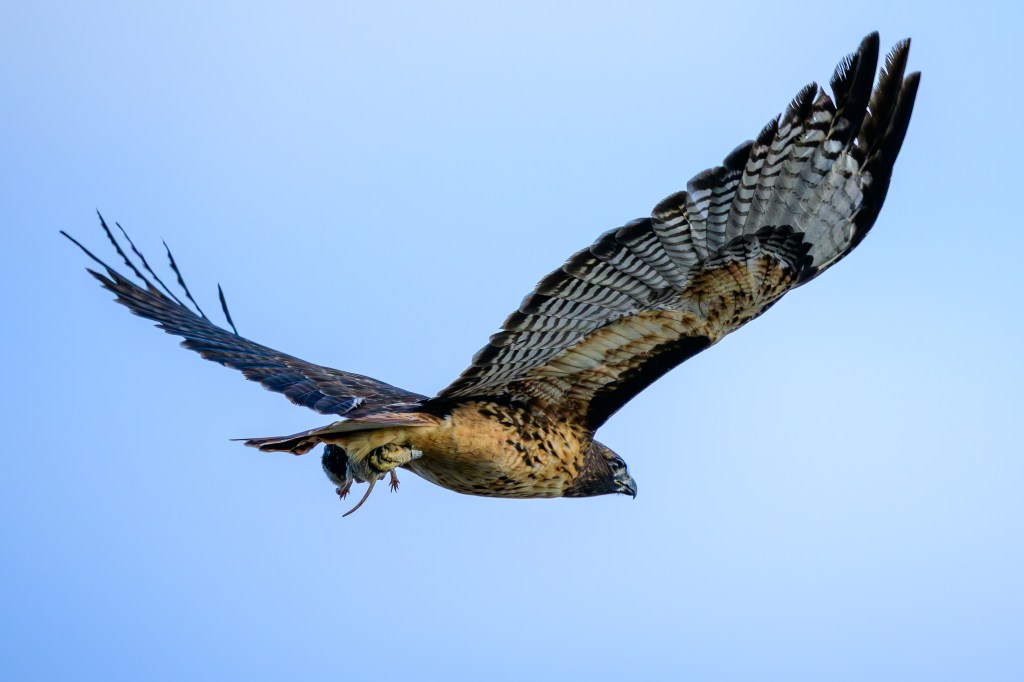
We walk to the Pleasant Valley Reservoir on a paved road that was built when the Reservoir was constructed on the Owens River. The road is about 20 feet above the water. This lets me look down on some birds, an unusual view. In the first photo, a Red-shouldered Hawk flies below me along the Owens River.
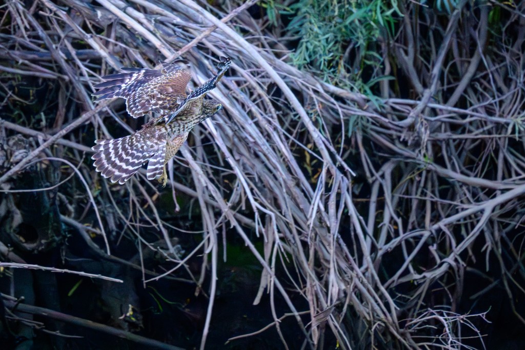
As the bird lands, it flairs its wings and tail to slow down. The bird even lifts feathers on its back to reduce lift and speed. Note the white bands (called “windows”) near the end of each wing. You can see a badly damaged feather in the tail. All birds molt, replacing old feathers with new ones. Some birds molt all at once. Ducks will find a pond or secluded marsh where they can feed and renew all their feathers; for about a month they cannot fly. Hawks would starve without flight, so they shed and regrow just a few feather at a time.
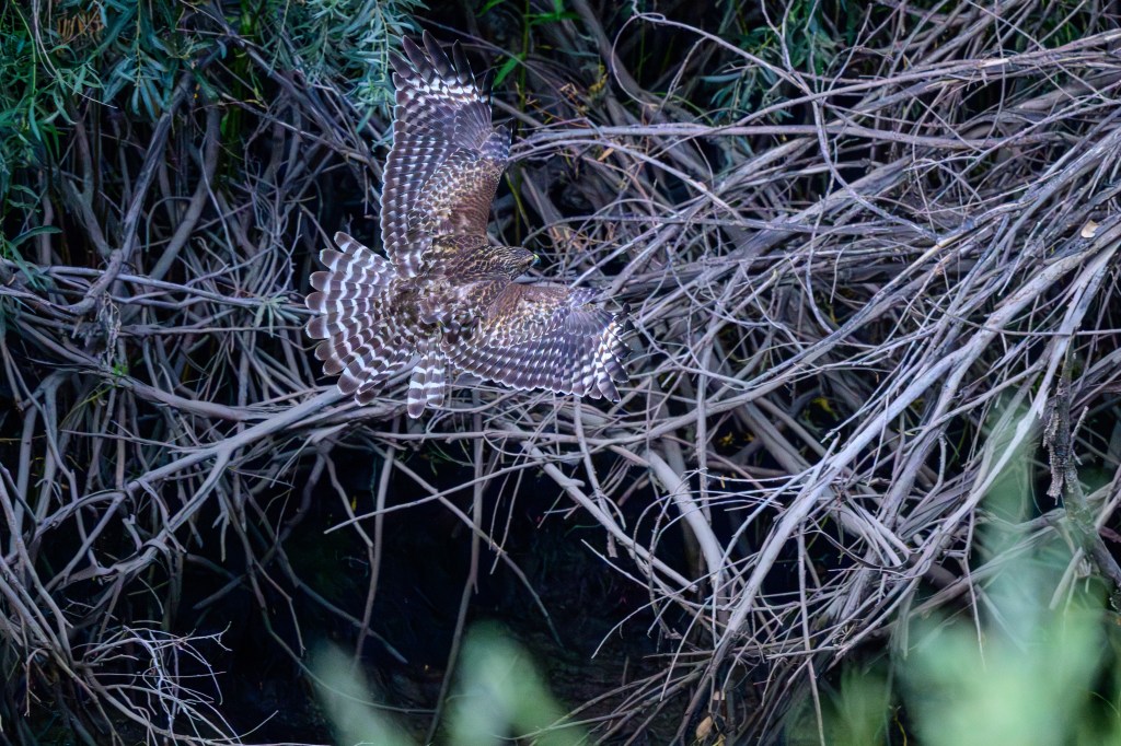
At the last moment the bird throws out its feet for landing.
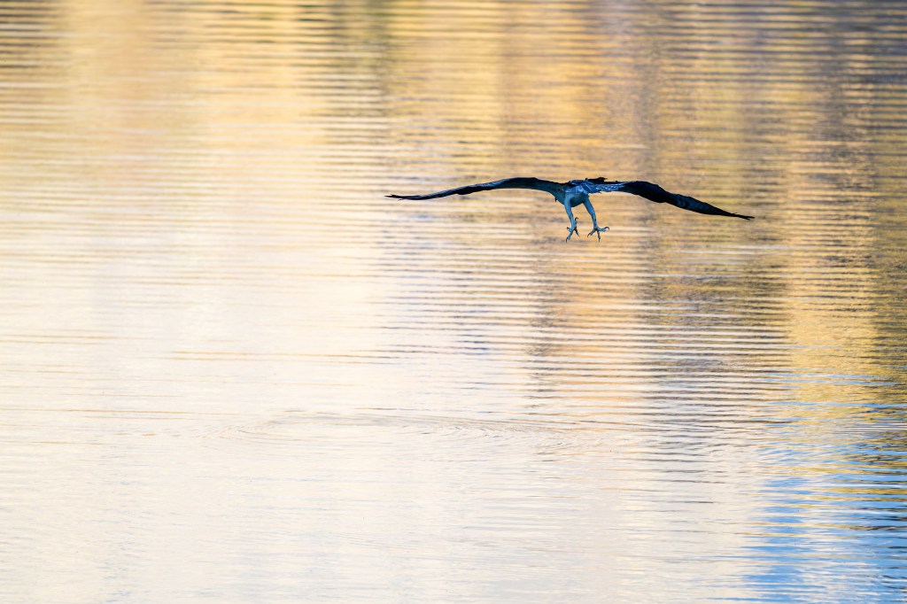
At the Conservation Open Space Area, a sequence of three photos shows a Red-shouldered Hawk making the same landing maneuvers:
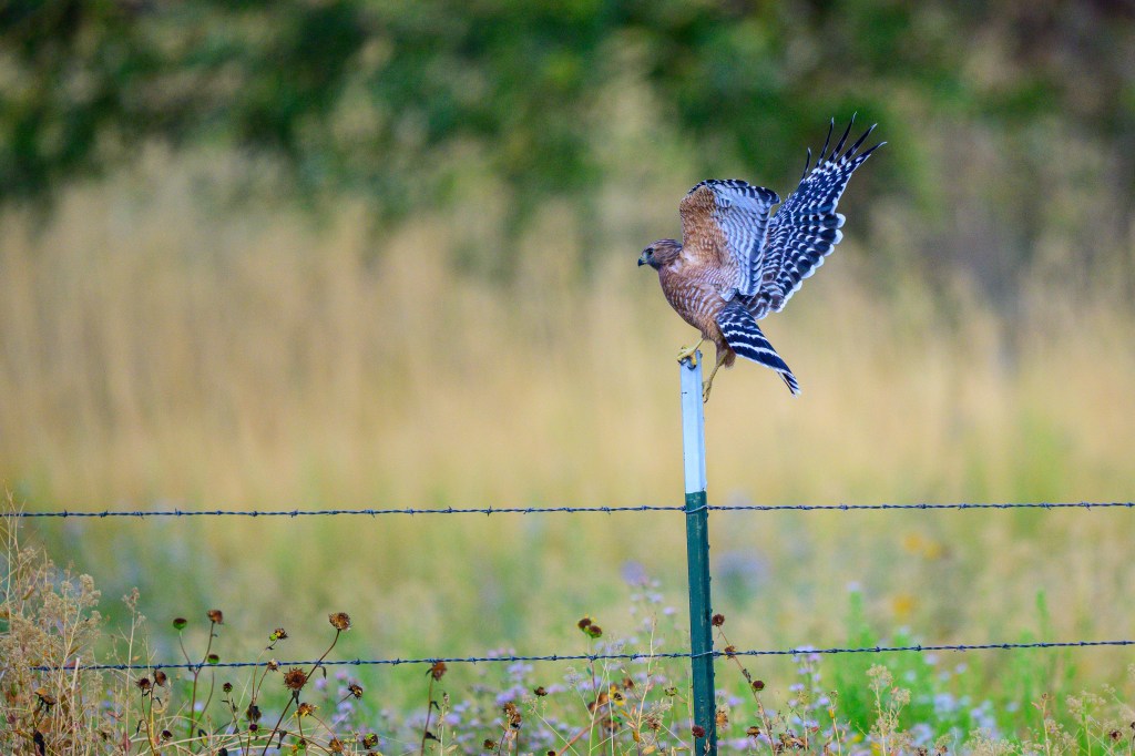
Below, a Red-shouldered Hawk perches on a power line in my backyard. These birds hang out in my Bishop neighborhood. I often hear them calling while I edit bird pictures at my desk.
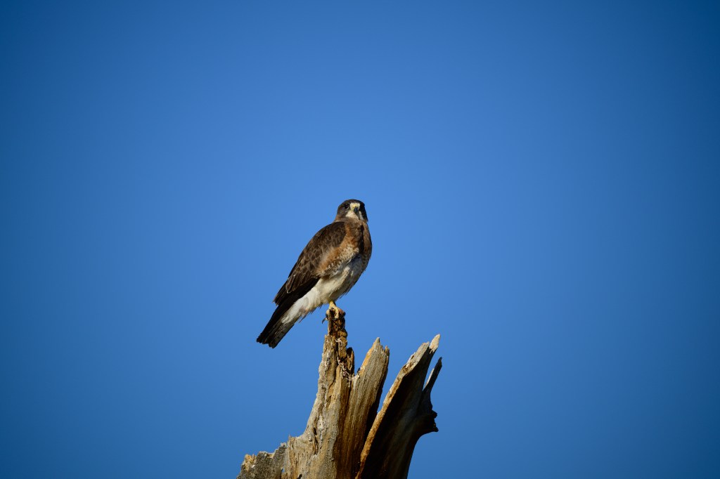
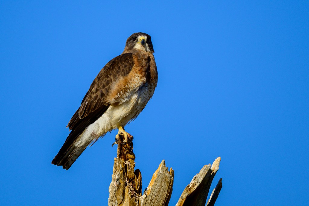
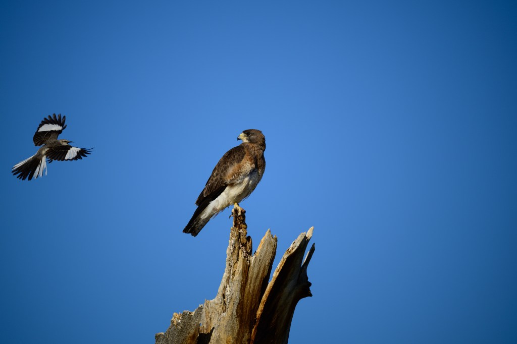
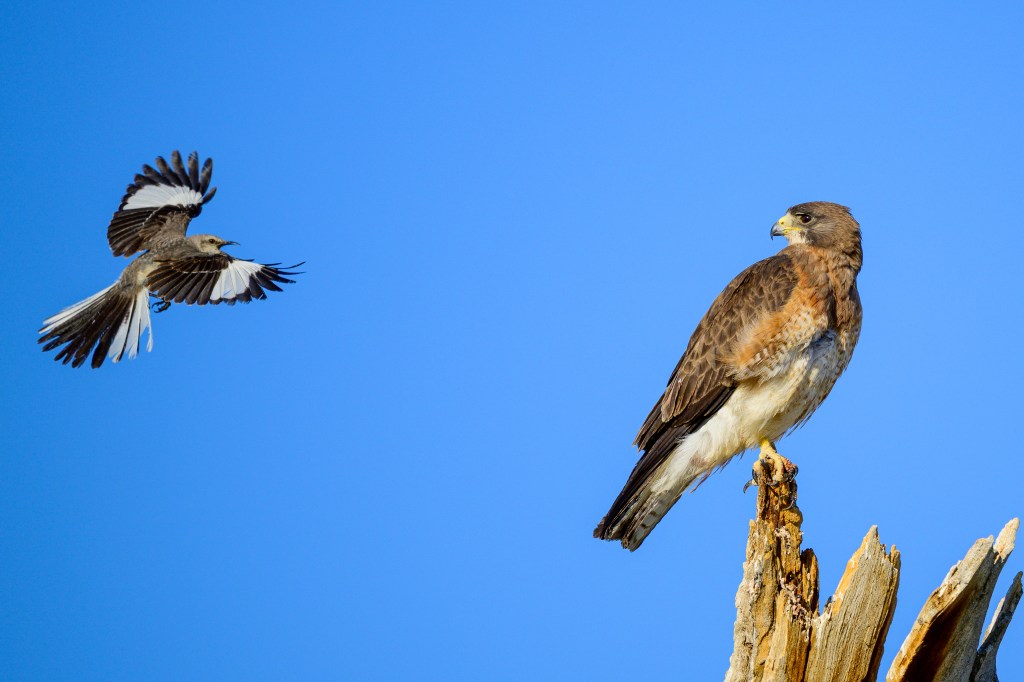
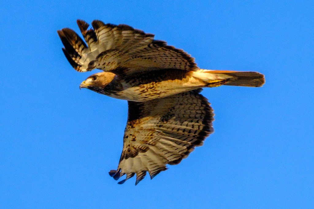
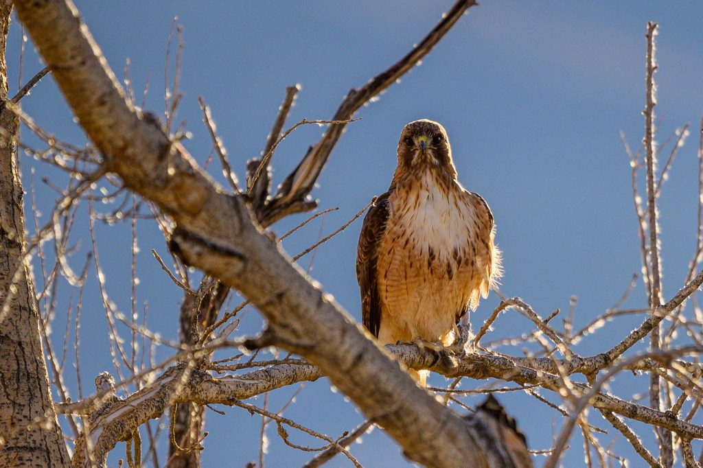
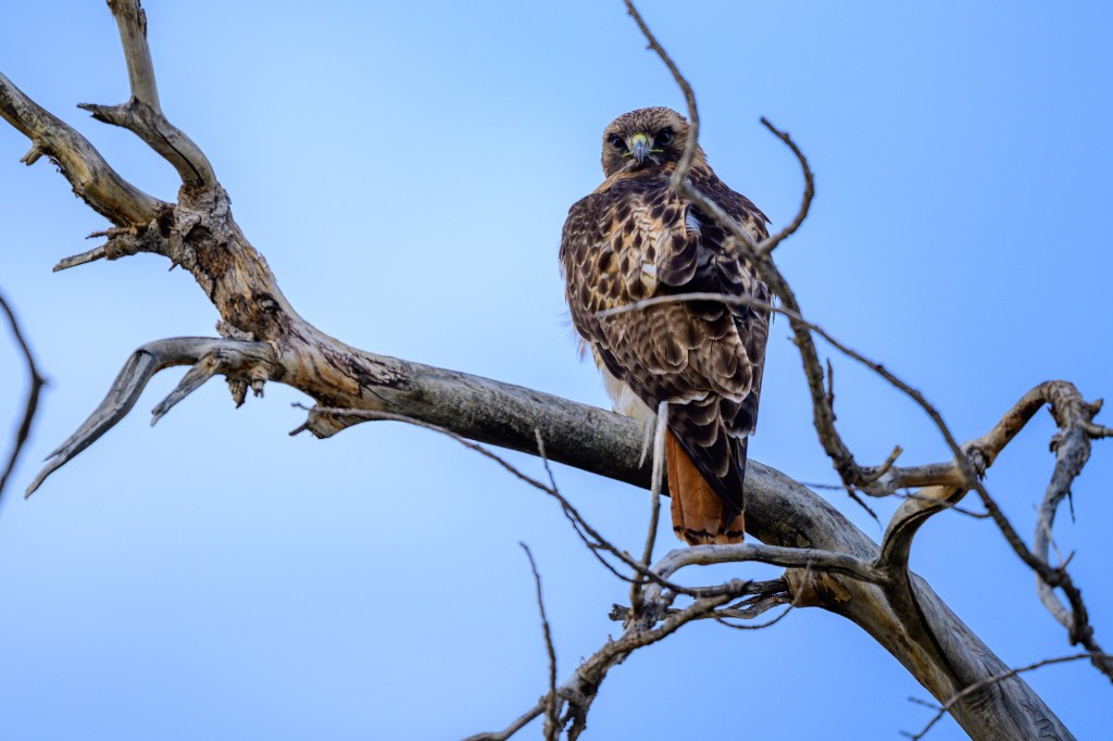
Red-tailed Hawk
Bald Eagles usually appear at the Buckley Ponds by December. But they did not do that in 2025. Instead, Red-tailed Hawks have been using the trees that are usually occupied by their bigger rivals.
The Red-tail below is crying out as it takes off.
When I got home and reviewed my photos, I found that the Hawk below was carrying breakfast; a rodent of some kind. The Hawk has a band on its leg.
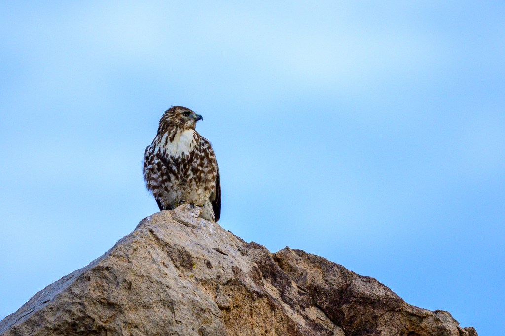
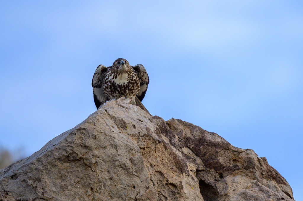
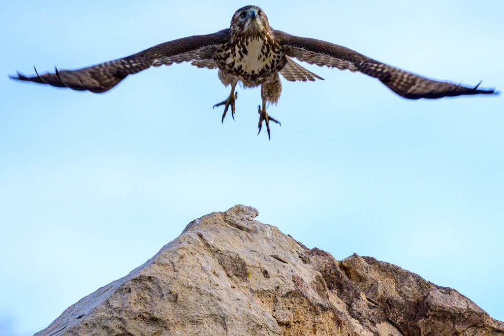
Two more Red-tails in December
Below, a Red-tail takes off from a basalt boulder above the Pleasant Valley Reservoir. Red-tails vary a lot in color; this bird is quite dark.
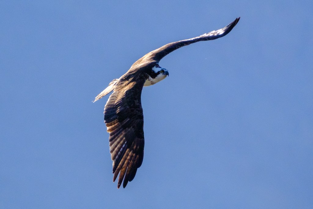
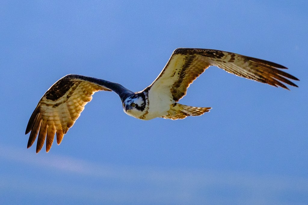
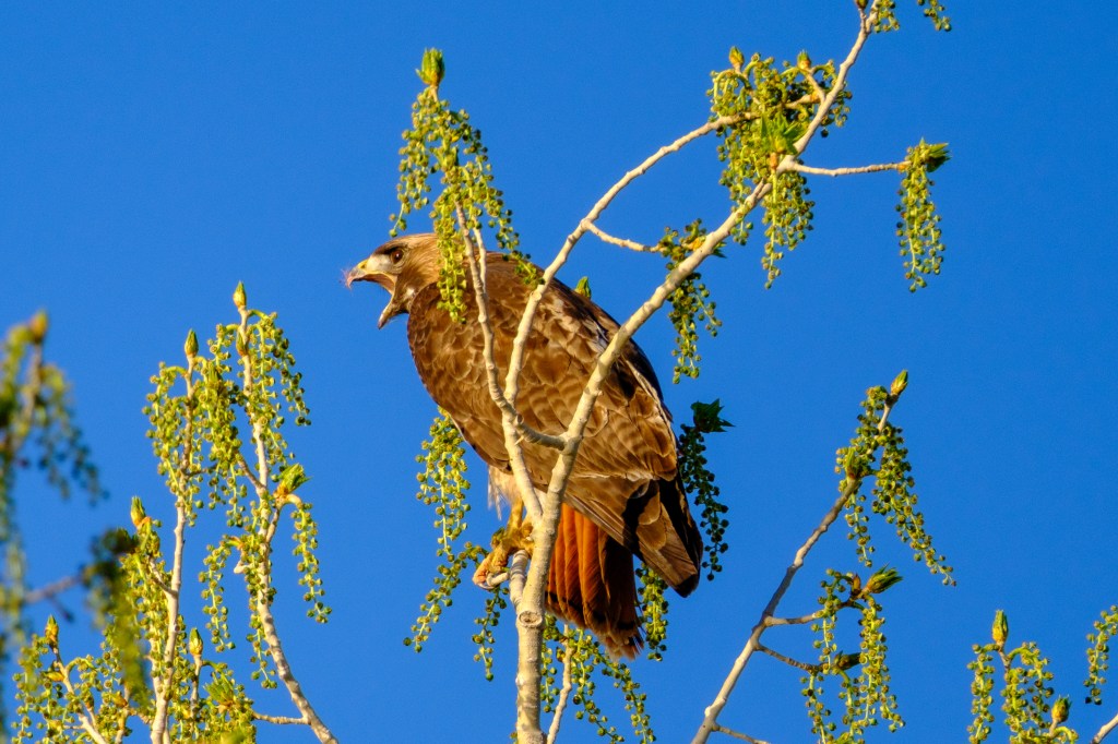
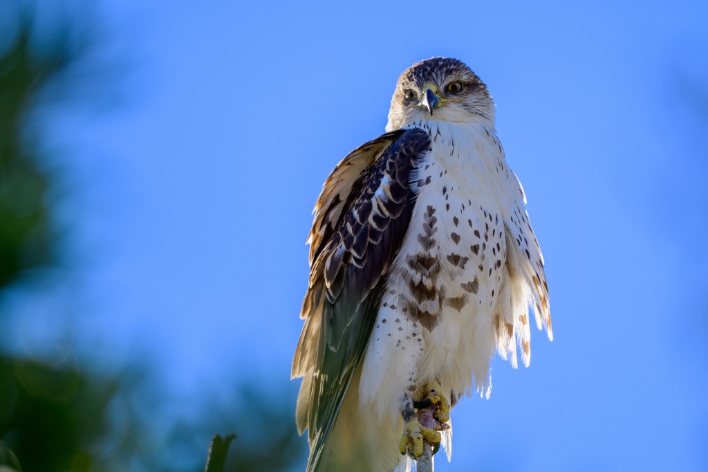
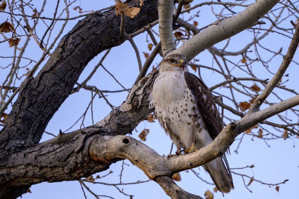
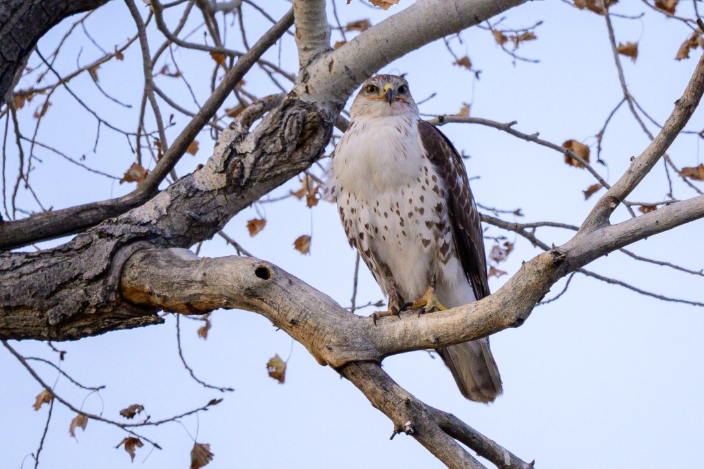
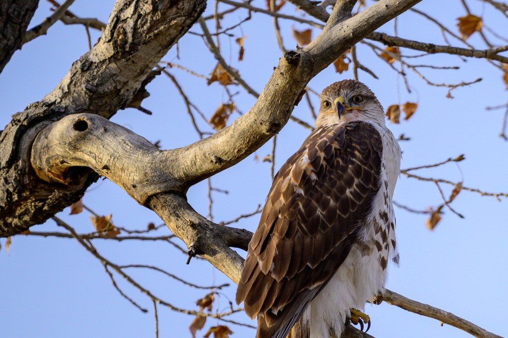
Ferruginous Hawk
Ferruginous Hawks appear in winter. The first photo shows one on Warm Springs Road. This species has a stunning white chest. Feathers on the head look as if they have been combed back and kept in place with hair gel. The yellow lips extend far back under the eye, past the center of the pupil. The yellow corner of the mouth is called the “gape.” A large gape makes it easier for this bird to quickly swallow an entire rodent. If you scroll back to my pictures of Cooper’s, Red-shouldered, and Red-tailed Hawks, the corner of the mouth ends in front of the pupil.
The next three photos show a Ferruginous Hawk on Gus Cashbaugh Lane near town. There is red color on this birds nose, face, and feet. That ain’t lipstick.
Below is a list the average weight, in pounds, for the raptors I have shown. This gives you an idea of how varied they are:
Golden Eagle 10
Bald Eagle 9.5
Cooper’s Hawk 1
Red-shouldered Hawk 1.4
Red-tailed Hawk 2.4
Ferruginous Hawk 3.5
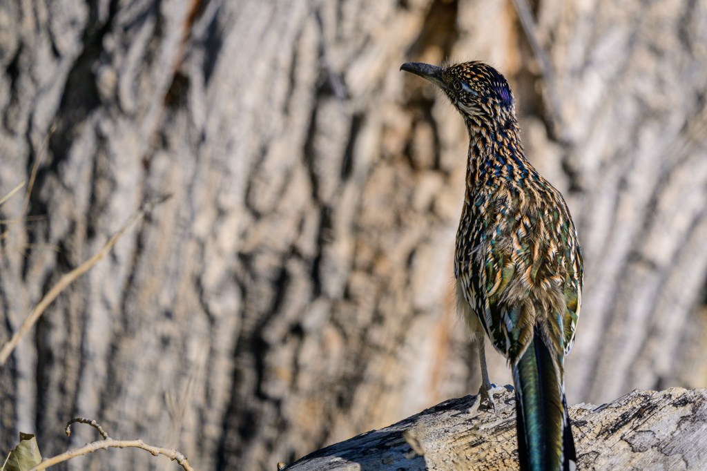
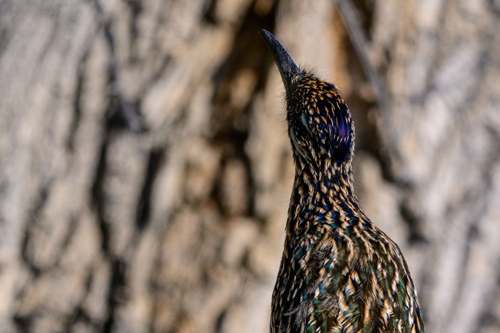
Greater Roadrunner
I see this bird twice a year, usually as it runs across a road ahead of me. Some books say they are uncommon in our area, but the sagebrush habitat seems ideal for them. I suspect they are just good at staying hidden. One of my photography goals is to get better images of this bird. The photos below show the iridescent colors of a Roadrunner near Warm Springs Road.
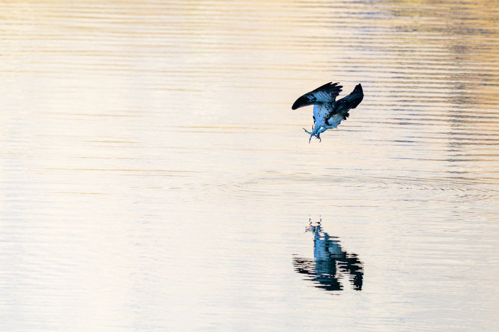
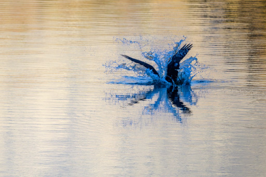
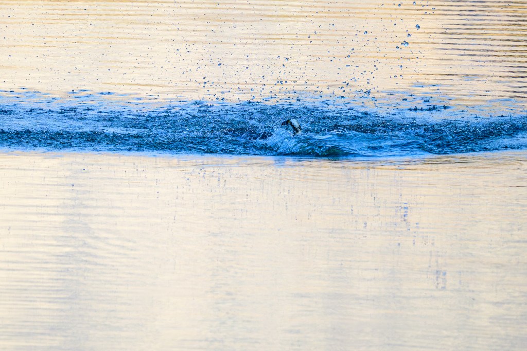
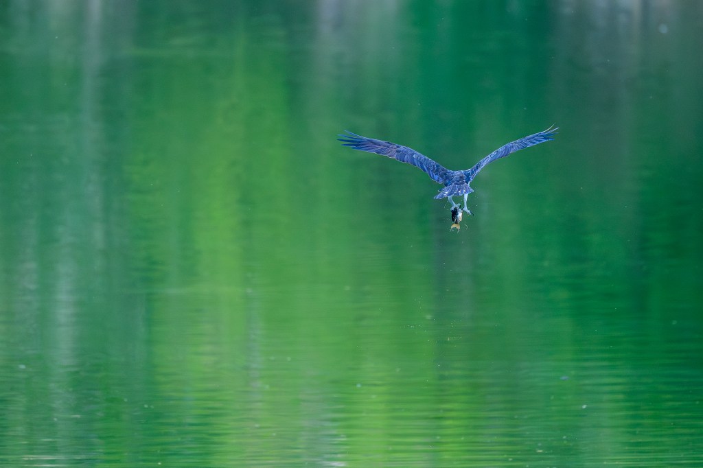
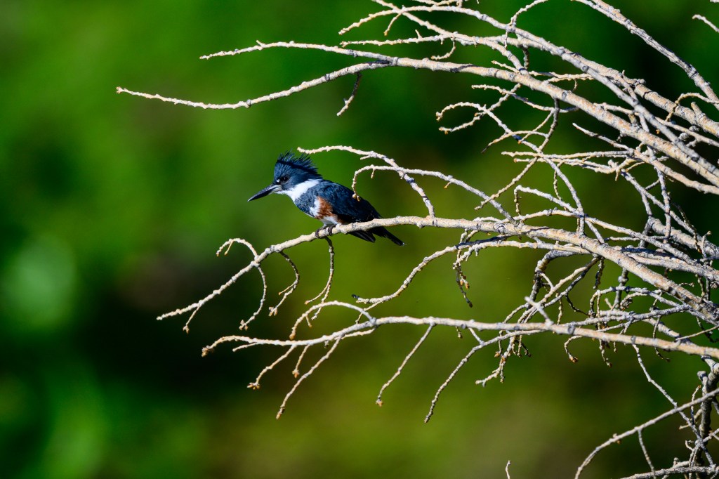
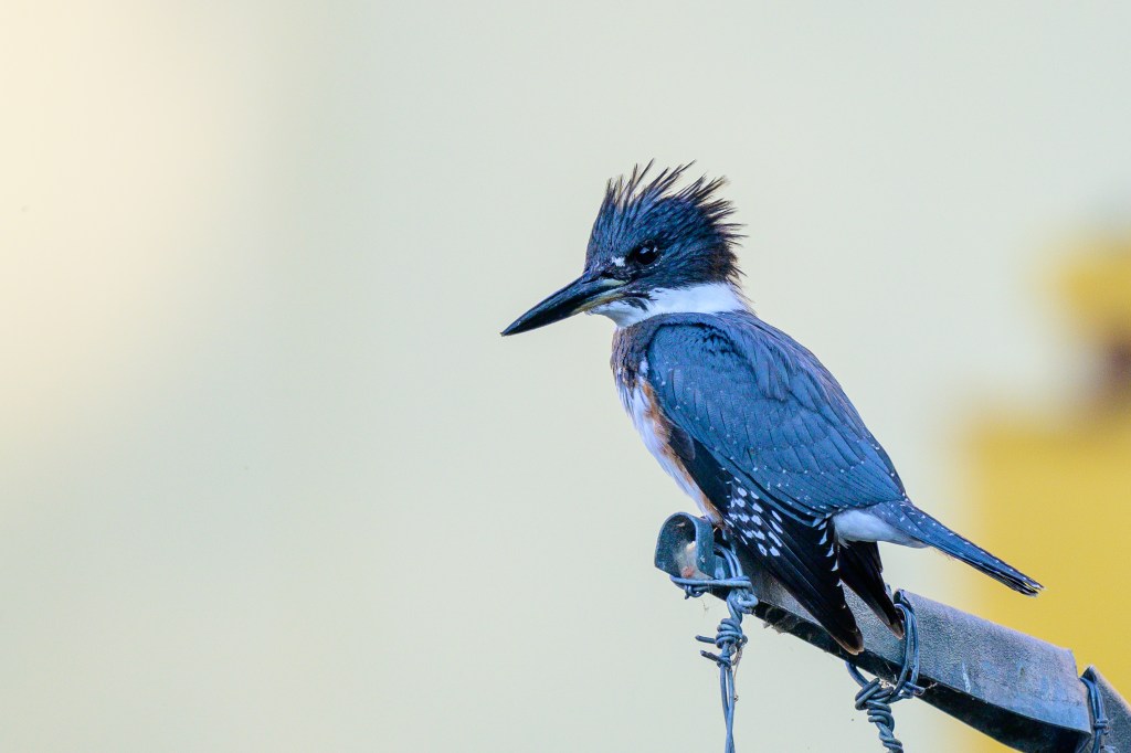
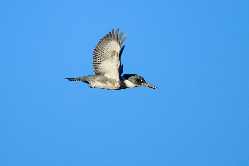
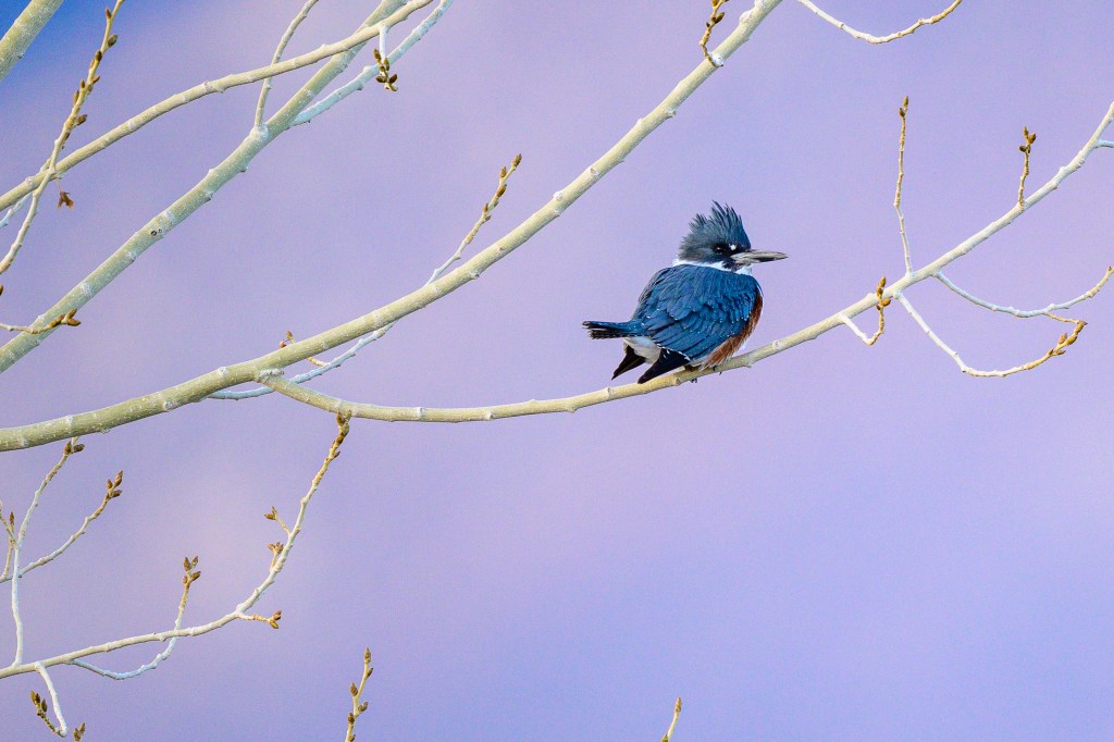
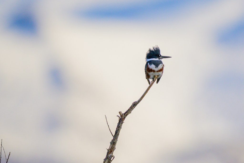
Belted Kingfisher
The first photo was taken at the Control Gorge Power plant on the Owens River, the next three at the Buckley Ponds. Lovely bird with a bad haircut.
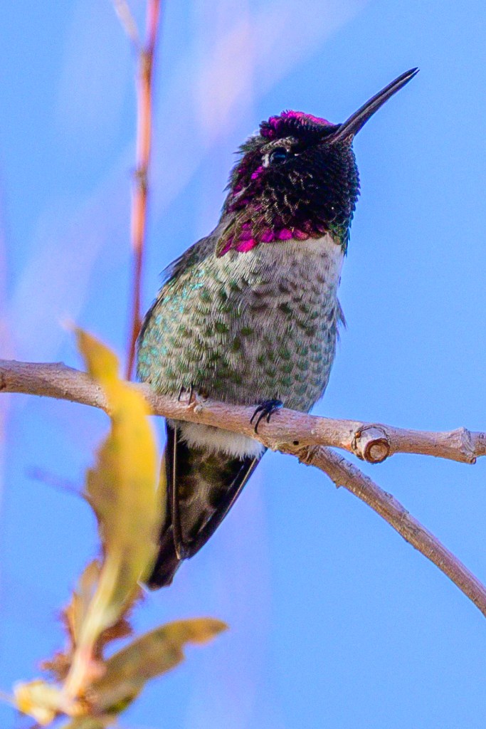
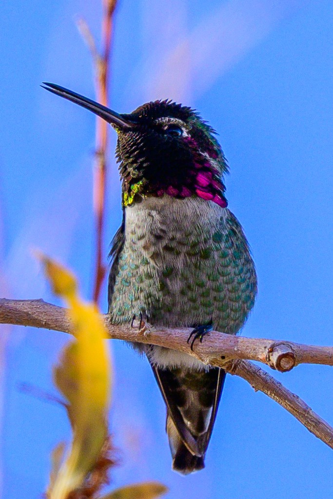
Anna’s Hummingbird
In mid-December I joined two expert birders at the Conservation Open Space Area for the Christmas count. They heard, saw, and identified this bird before I knew it was there. I was finally able to see it and started taking pictures as it moved from perch to perch. It was gone in a minute.
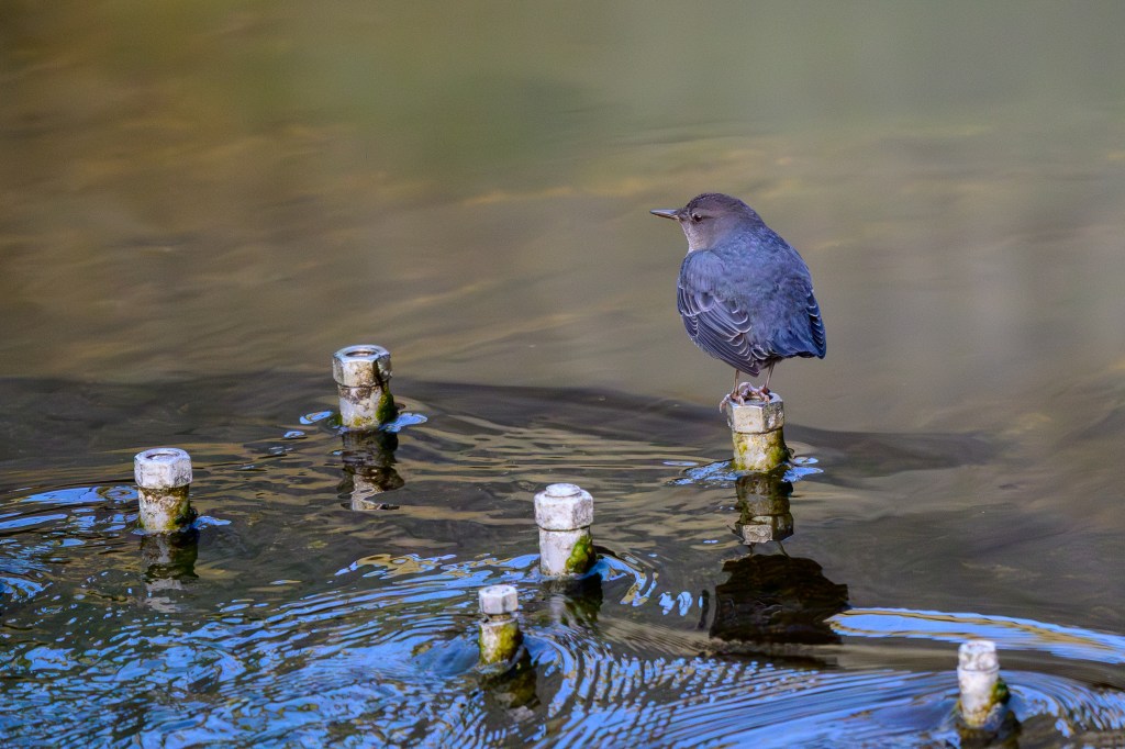
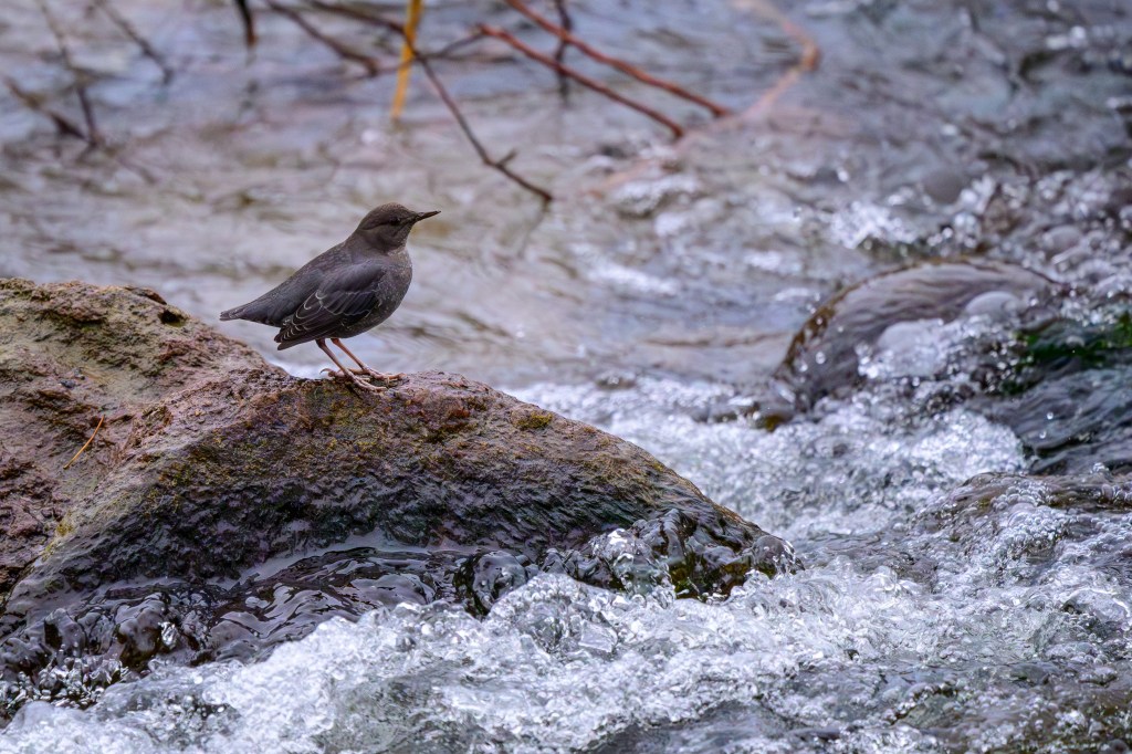
American Dipper
The Dipper dives into streams and walks around under the water looking for stuff to eat. I took these photos along the Owens River near the Control Gorge Power Plant. The bolts in the first picture are part of the power plant’s structure.
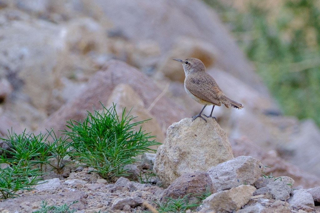
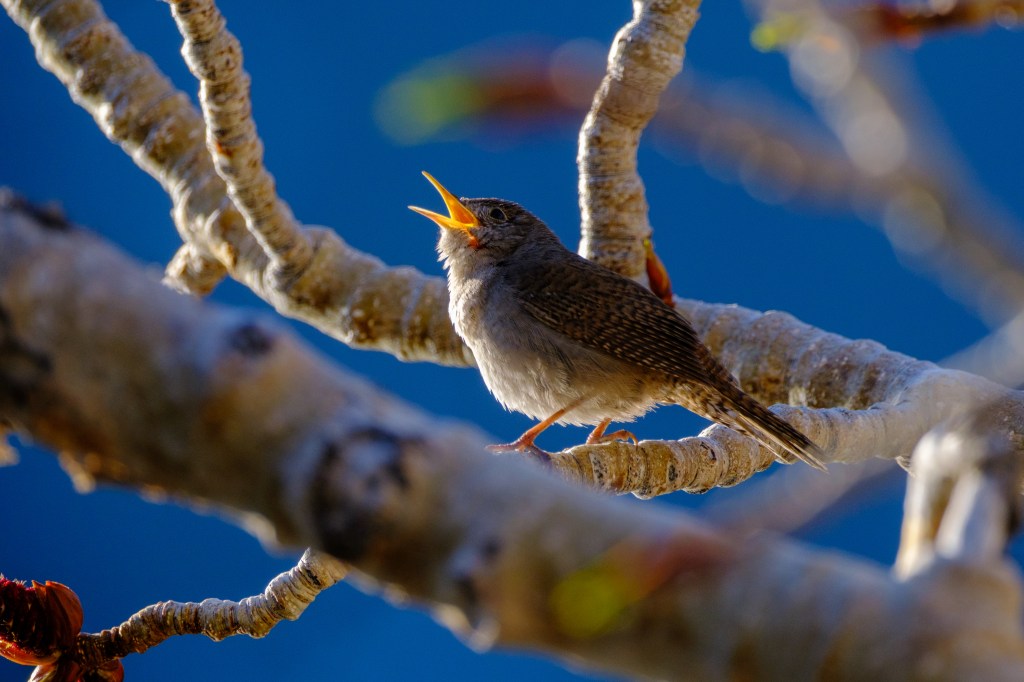
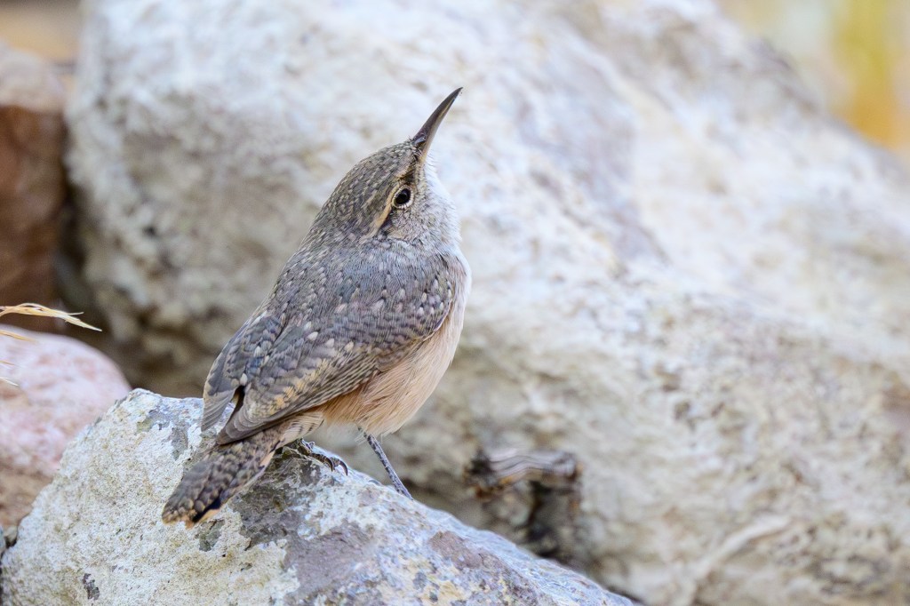
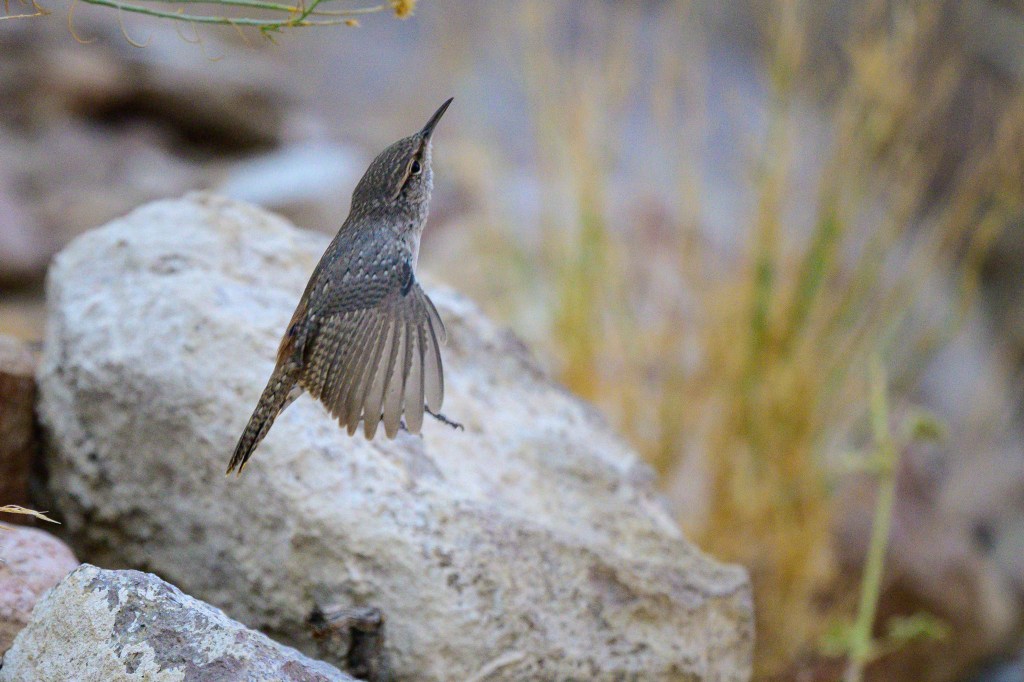
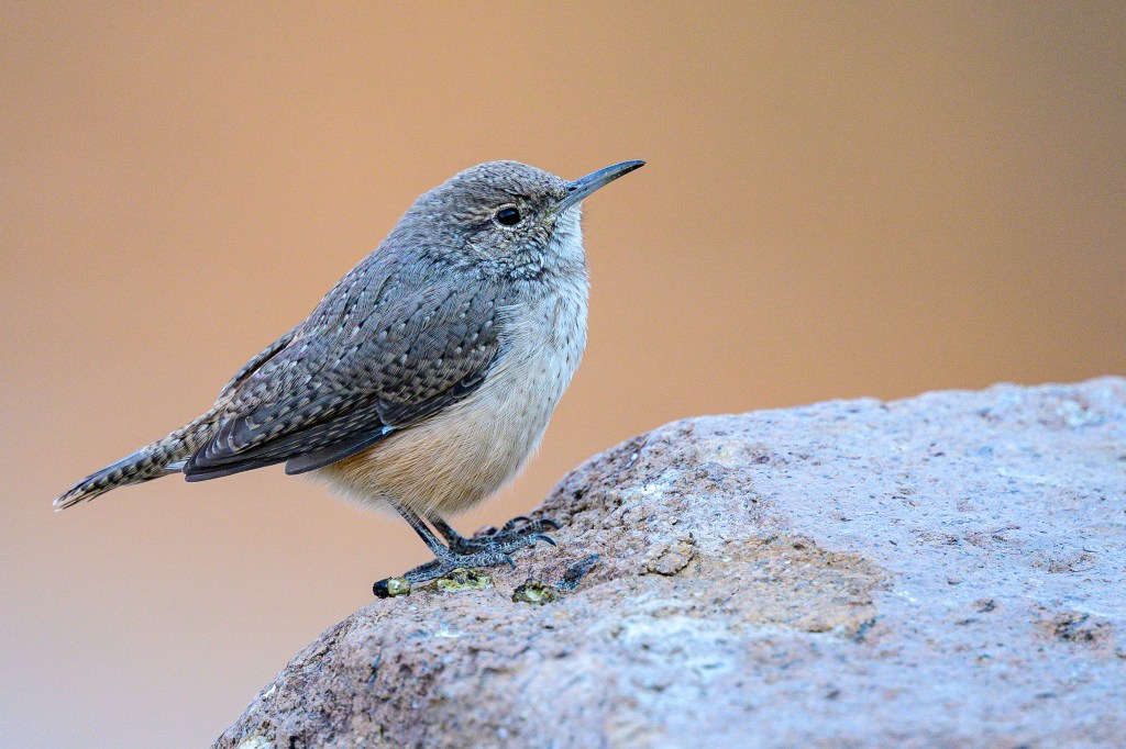
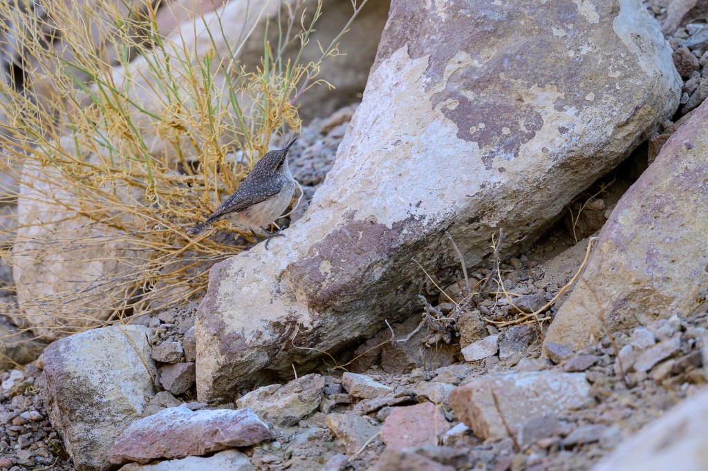
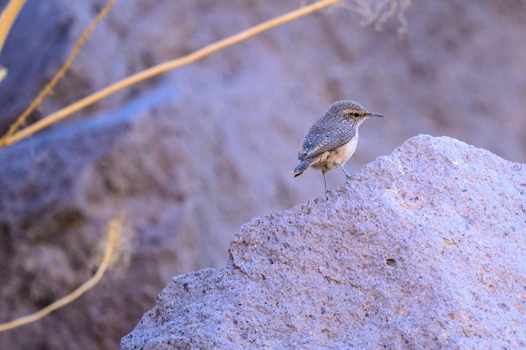
Rock Wren
These tiny things hop about on the basalt boulders above the Reservoir. In the second photo, the bird is jumping up to grab an insect out of the air. These birds are small and are colored to match their rocky surroundings. They give themselves away by jumping and flitting about, and singing a loud song.
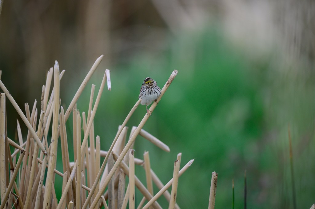
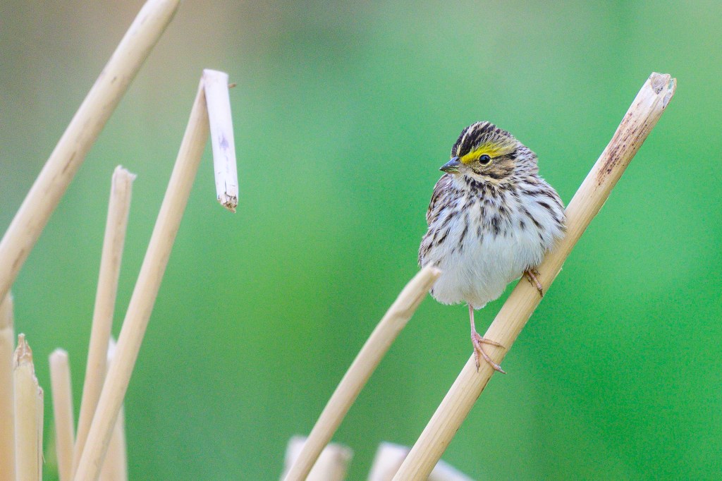
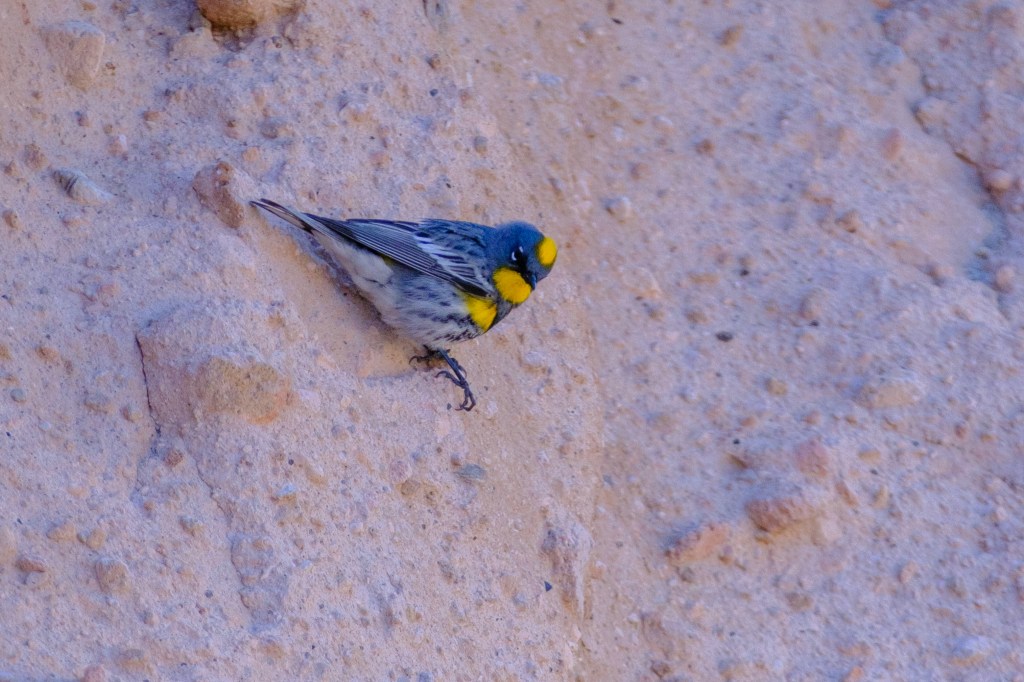
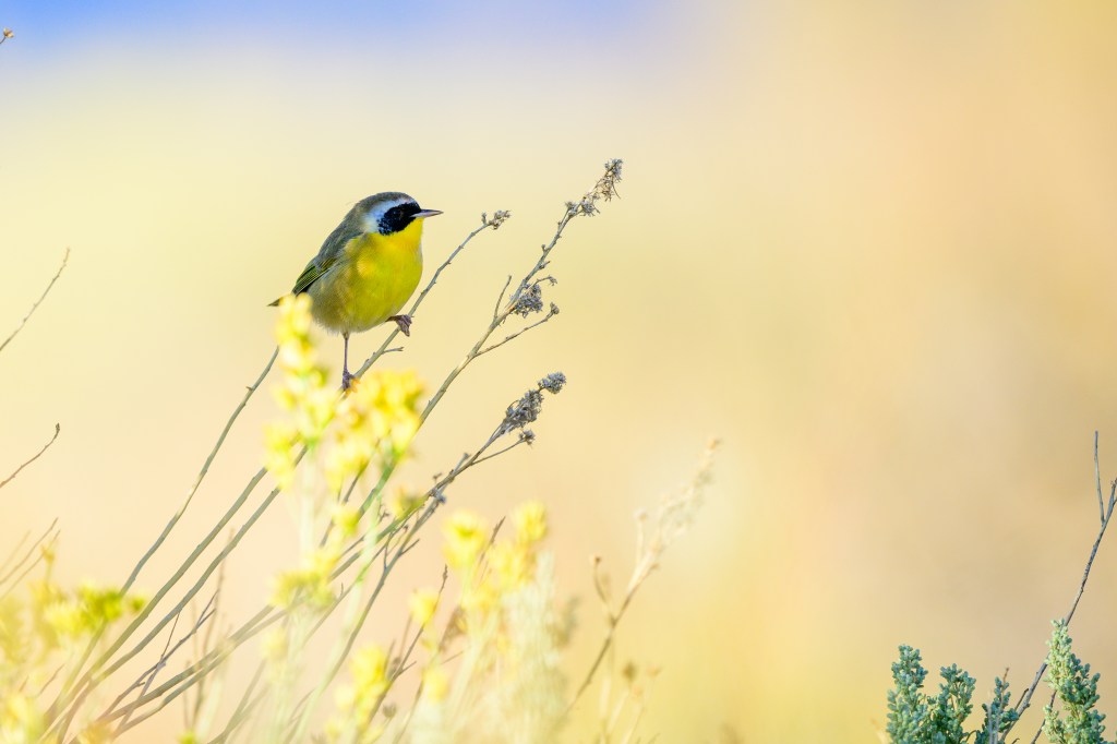
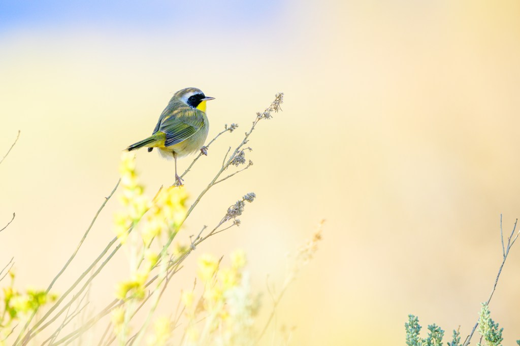
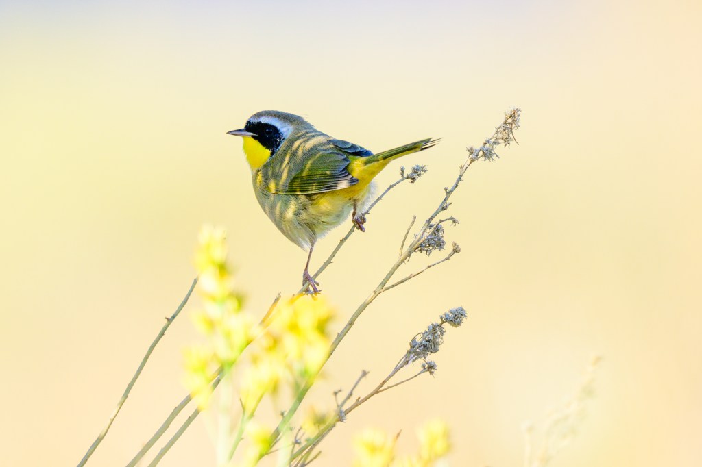
Common Yellowthroat
A Yellowthroat appeared at the Buckley Ponds in late September. I had less than a minute to take pictures. Fortunately, the bird perched in a well-lit spot.
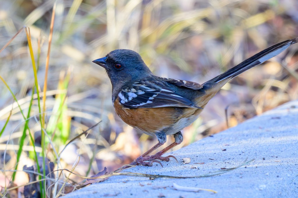
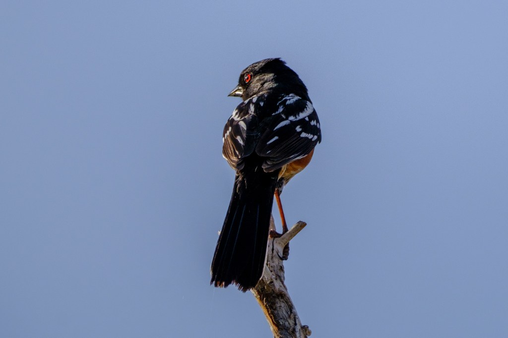
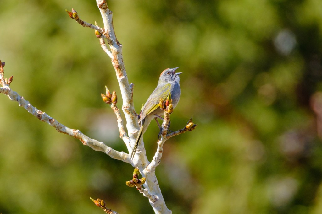
Spotted Towhee
The spots are on the wings. Lovely color scheme and striking red eye. This bird was near the nursing home on Line Street.