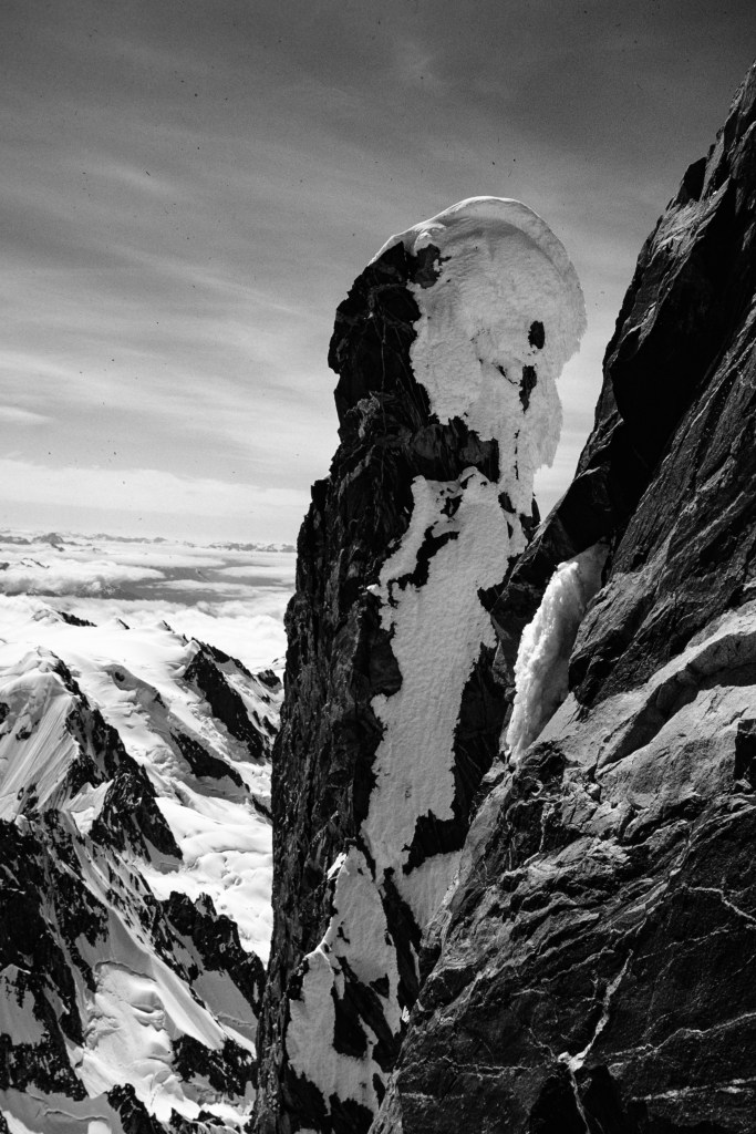
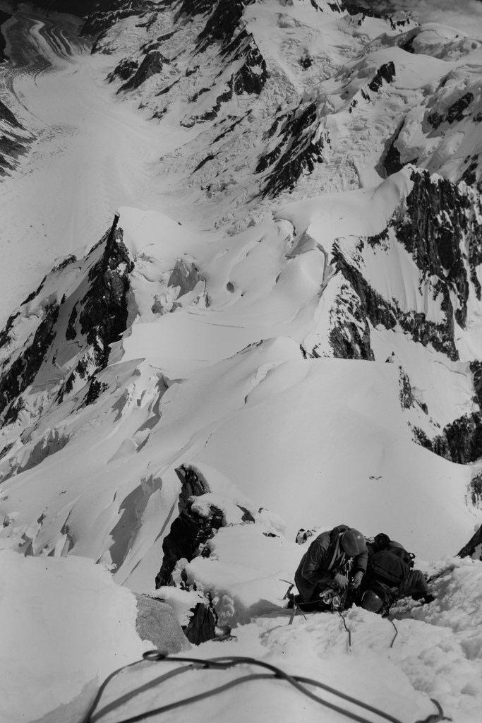
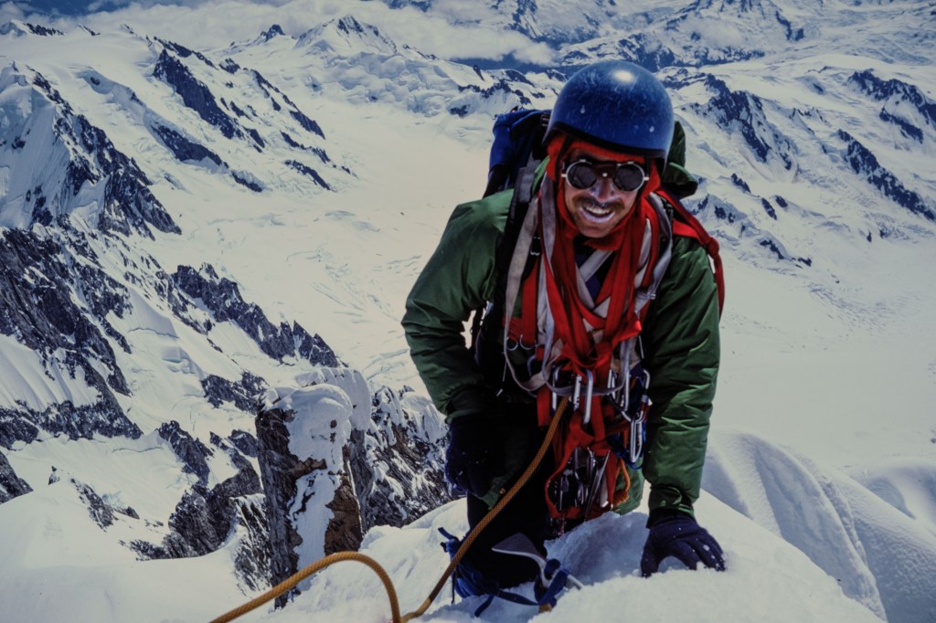
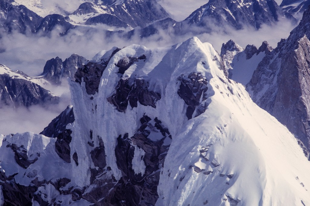
Mount Waddington — The worst night, the best day

I’ve photographed birds for 5 years. Previously, for decades, I spent time as a mountain climber/photographer. I’ve done over a thousand climbs and I spent years shooting Kodachrome slides on five continents. This article is about Mt. Waddington, my favorite climb.

            Mt. Waddington is in the British Columbia Coast Range, between the Klinaklini and Homathko Rivers. Bad weather and the remote location conceal the peak; it was not discovered until 1925. At 13,186 ft, it is higher than any peak in the better-known Canadian Rockies. For a decade, climbers from the US and Canada attempted to reach the summit. The peak was known to climbers during this competitive era and it is featured in books about the history of climbing in North America. Two US climbers, Fritz Weissner and Bill House, reached the top in 1936. Many climbers today are unaware of this isolated area. This is a region of dangerous rivers, dense forests, giant glaciers, and grizzly bears.
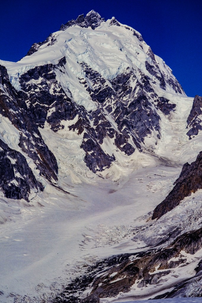
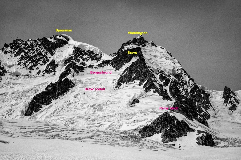
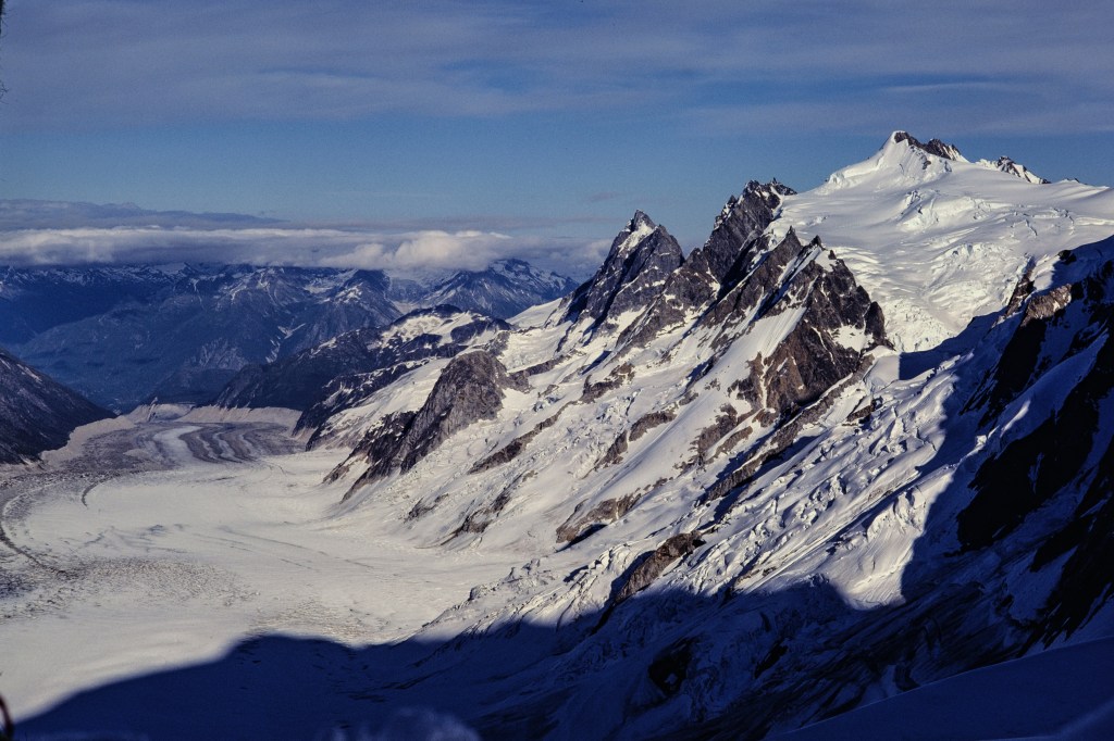
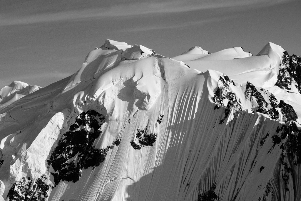
Waddington rises 7000 feet above the Tiedemann Glacier


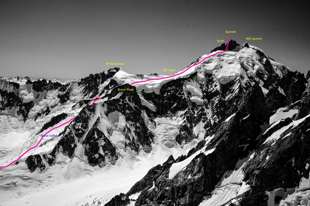
The usual route to the top is marked.
View of our route from where the helicopter landed.
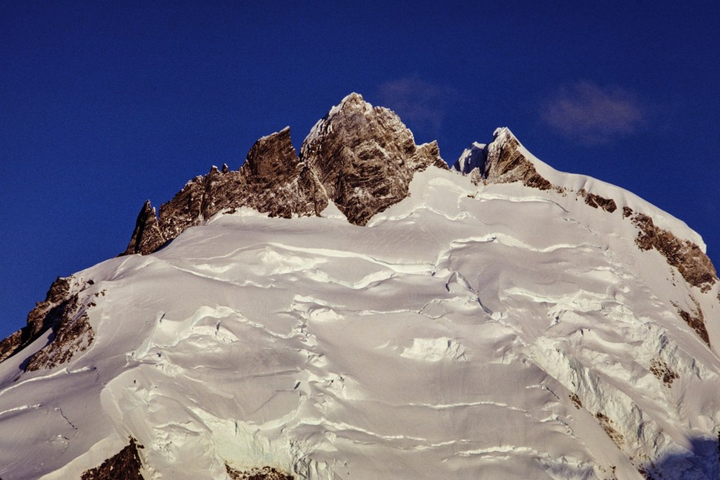
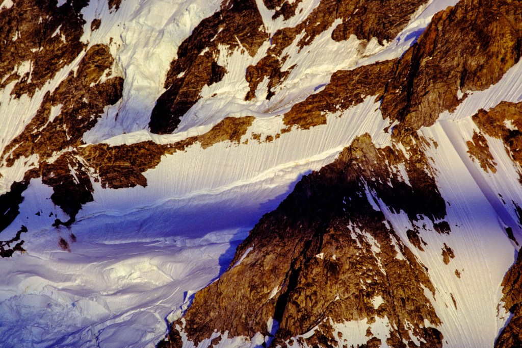
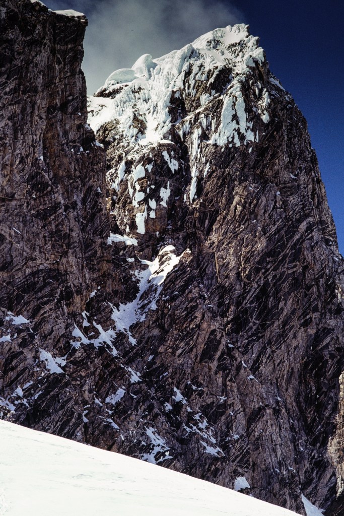
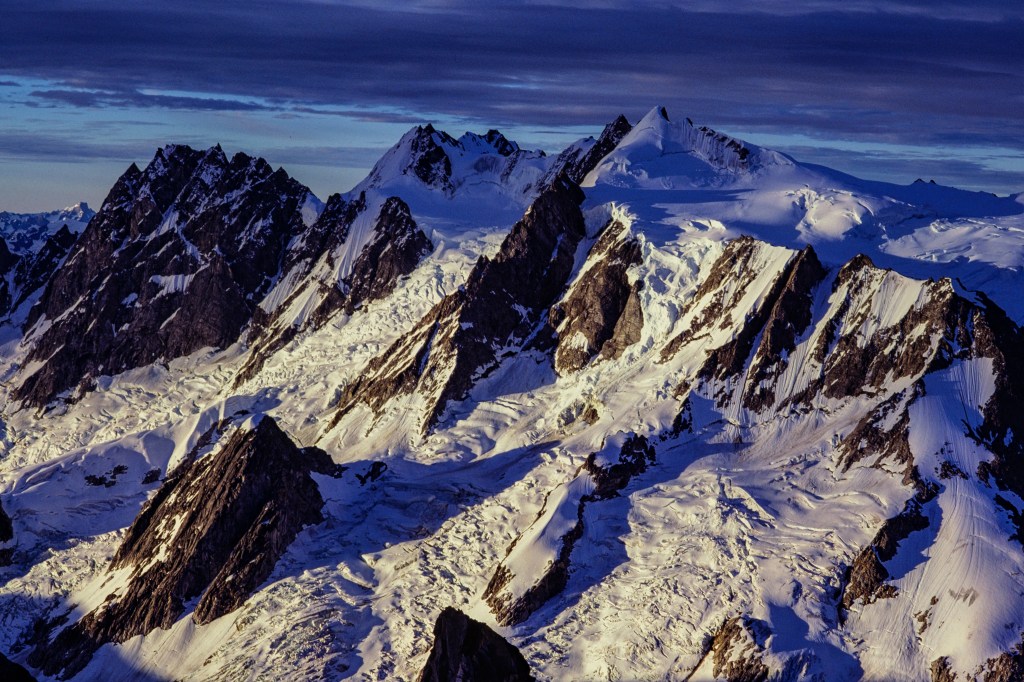
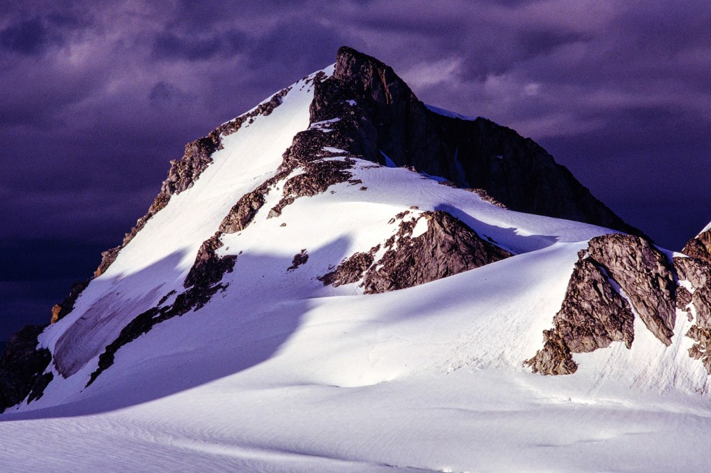
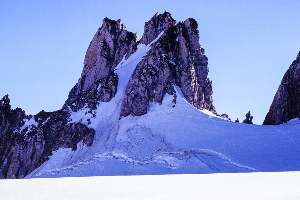
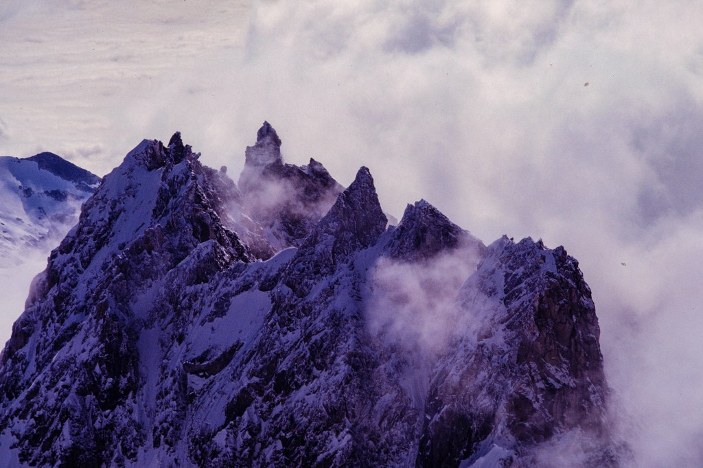
The upper part of the mountain. Central summit tower is about 1000 feet tall.

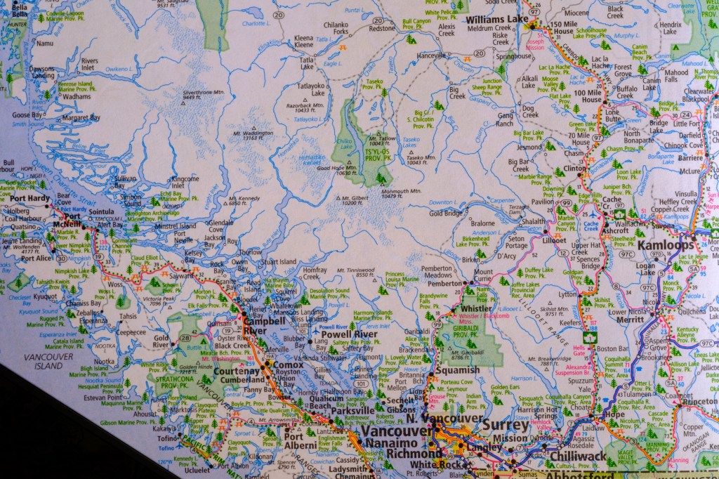
The map below shows Waddington is about 100 miles northwest of Vancouver. To get there in 1980, you had to drive about 500 miles; first east on Highway 1, then north to Williams Lake, then west on gravel road to Tatla Lake, past towns with Russian-style churches, then south to the helicopter service owned by Mike King.
Our 1980 attempt

       I learned of Waddington when I started climbing in 1967. By July 1980, I had 100 climbs under my belt, including Denali and big peaks in Peru and Asia. Chris LaRocca (then a college student) and I decided to tackle Waddington. We flew by helicopter to the Tiedemann Glacier at the base of our route. As the chopper circled to land, I saw a world of rock and ice; stunning, but intimidating. No plants, little color, no life. This was before satellite phones and personal locator beacons; if we had trouble, no one was going to help us. I considered asking the pilot to just fly us back out. But we stayed for 2 weeks.
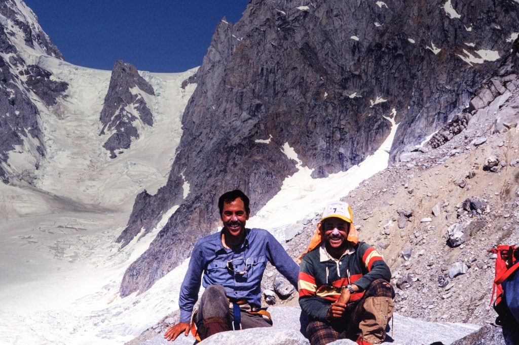
I am in the blue shirt. The other guy is Chris. We both have zinc oxide on our noses. This portrait taken at the Plummer hut, after our time on Waddington.
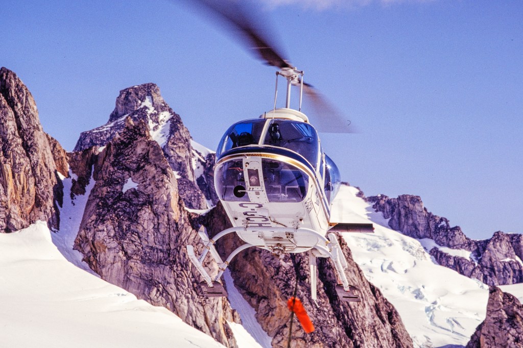
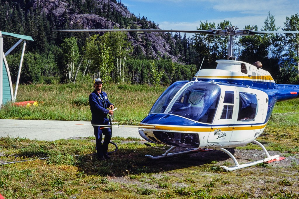
Mike King of White Saddle Helicopters
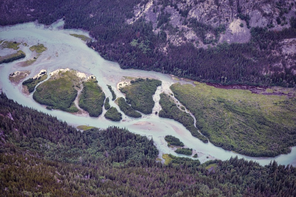
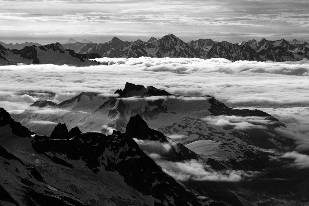
The helicopter flew over this terrain. To get there on foot would be a nightmare.
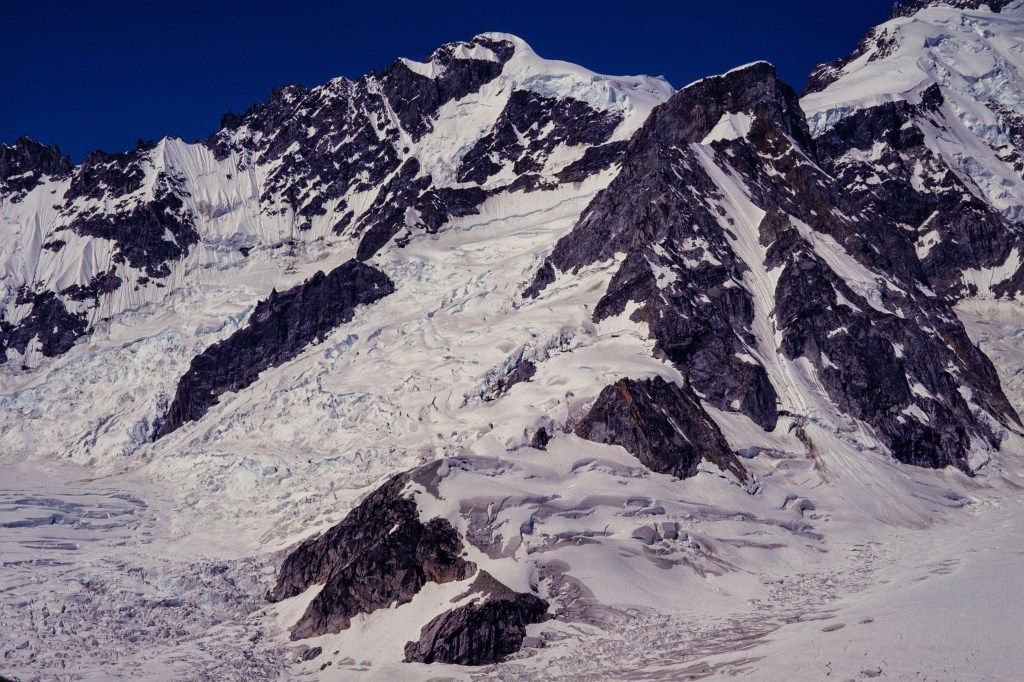
Rainy knob is the low hill of rock and ice in middle foreground. Behind it is the Bravo Icefall.
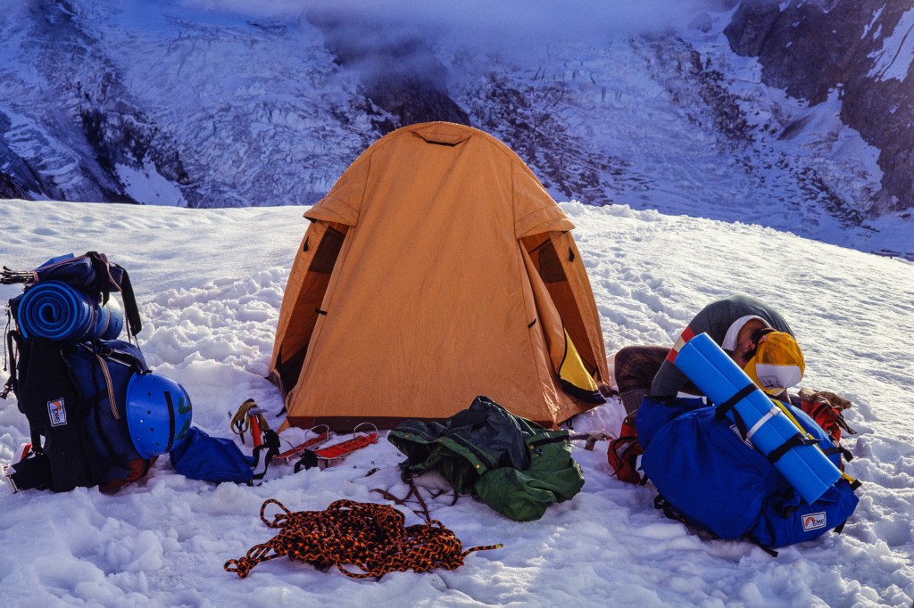
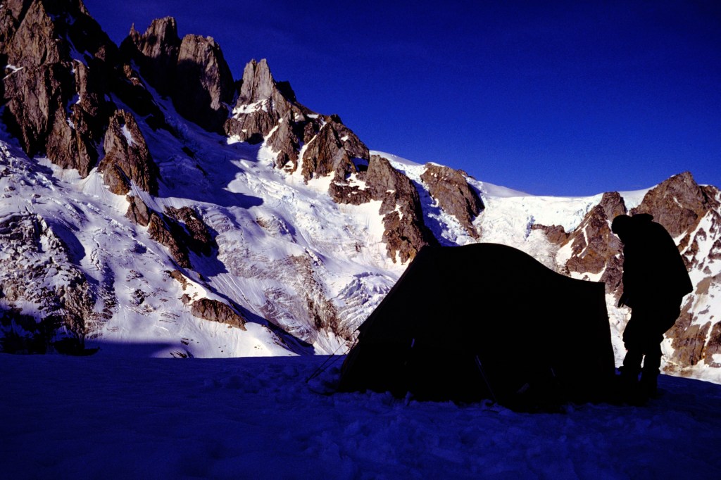
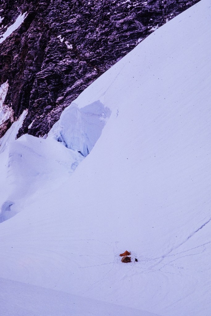
Tent, gear, and Chris, on Rainy Knob.

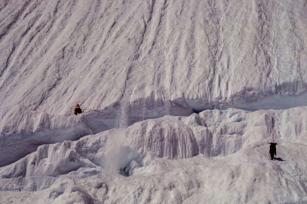
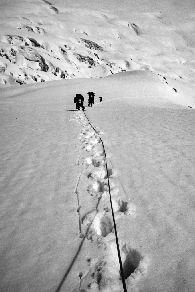
For the next two days we weaved through the crevasses and seracs of the Bravo Glacier. Four Canadians died here in 1960, crushed by falling ice.
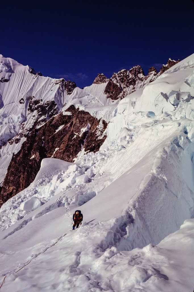
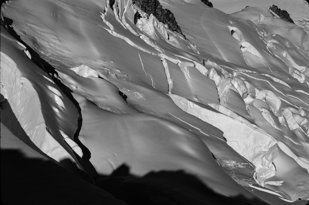
Bravo Icefall. Try to follow our track. Can you find one of our dead-ends — look in upper center
This was our high point — we gave up here in 1980.

Although we crossed the Bravo Icefall, we failed to get very far above it. We retreated, crossed the Tiedemann Glacier, and climbed up to the Plummer Hut. We managed to do three climbs from there.
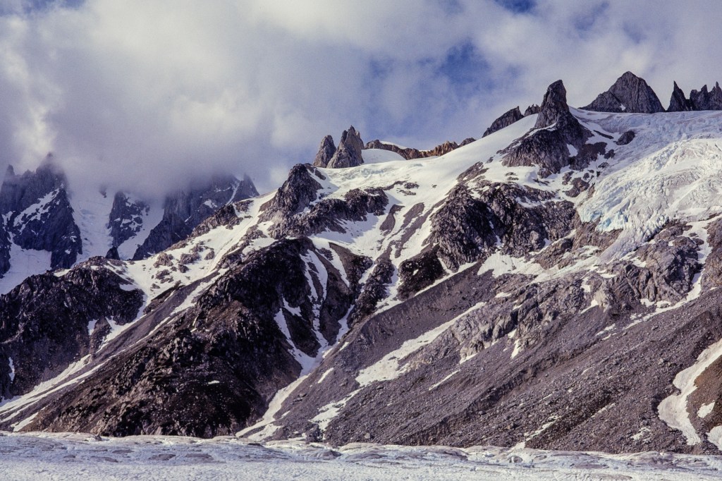
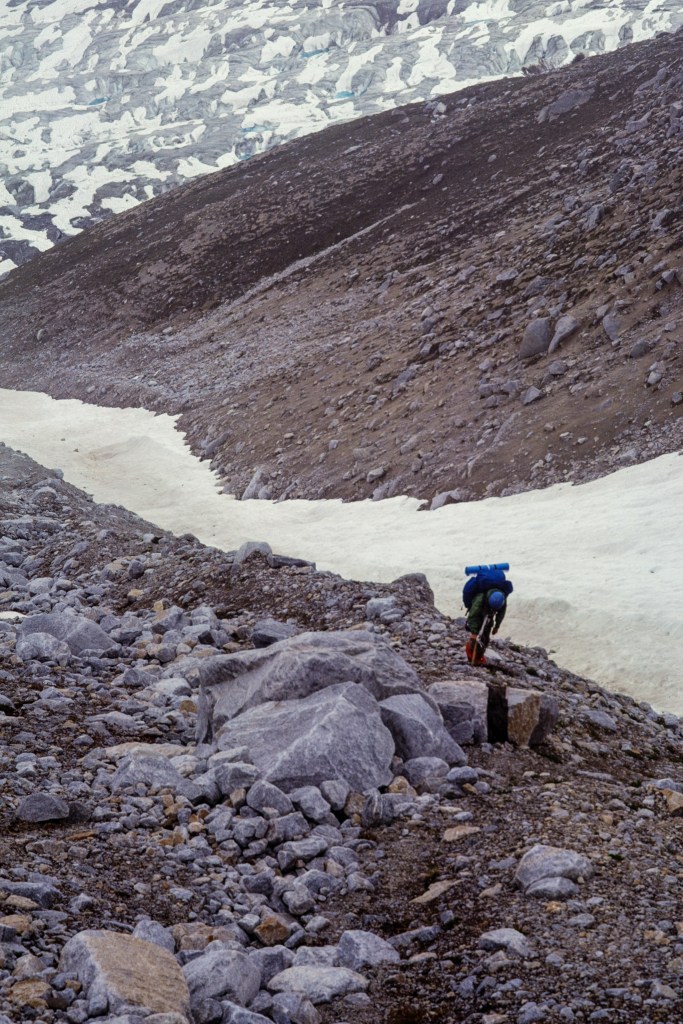
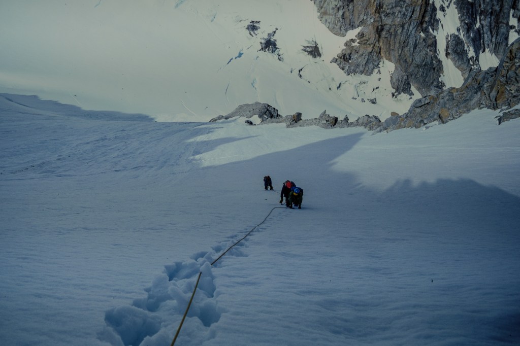
We climbed this slope to the Plummer Hut, which is out of sight in upper right.
Chris carries a heavy load.
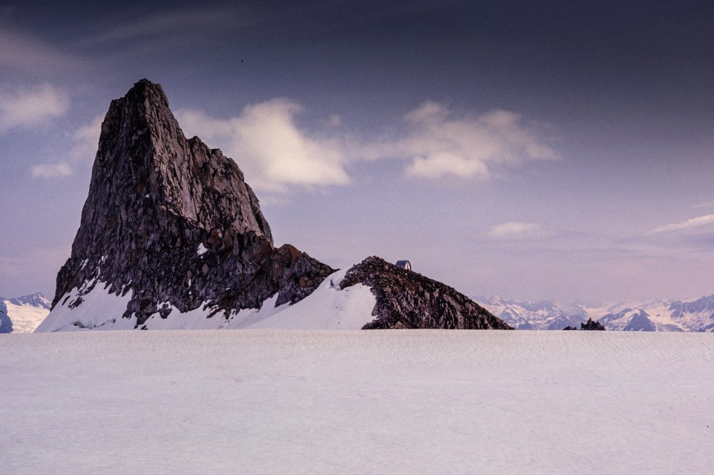
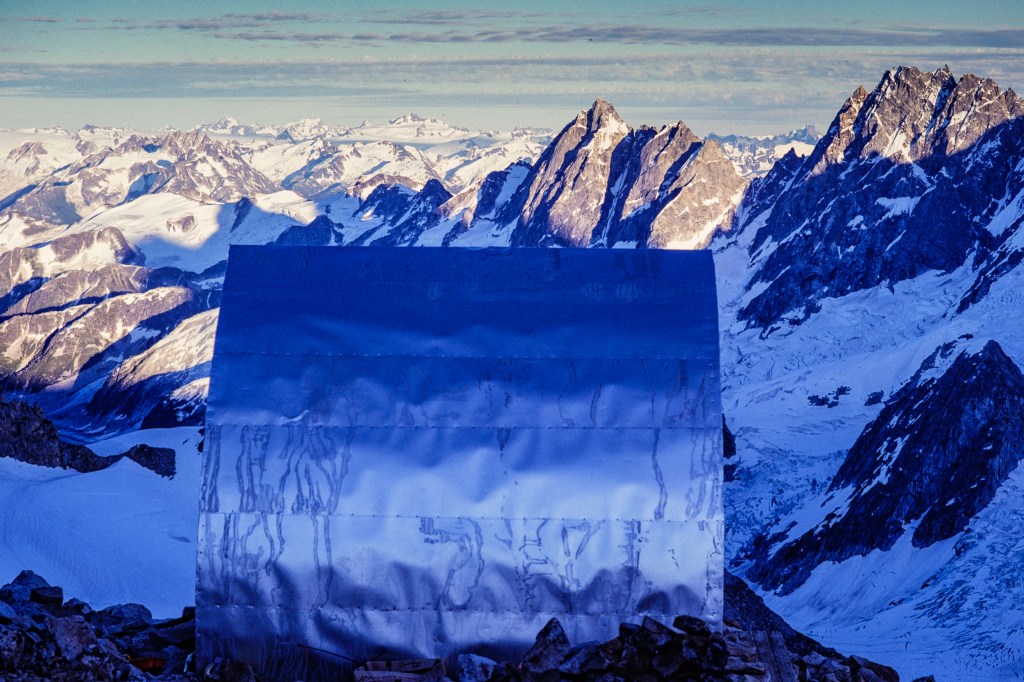
Plummer Hut, built by climbers, in the middle. We climbed Claw Peak, the rock tower on the left.
Tiedemann Glacier on left.
The hut and a sea of summits.
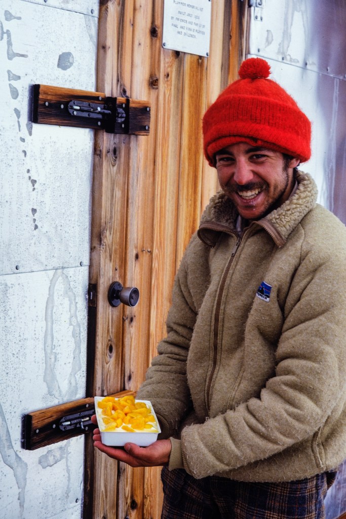
Is this cobbler? Or cheesecake? We were hungry!
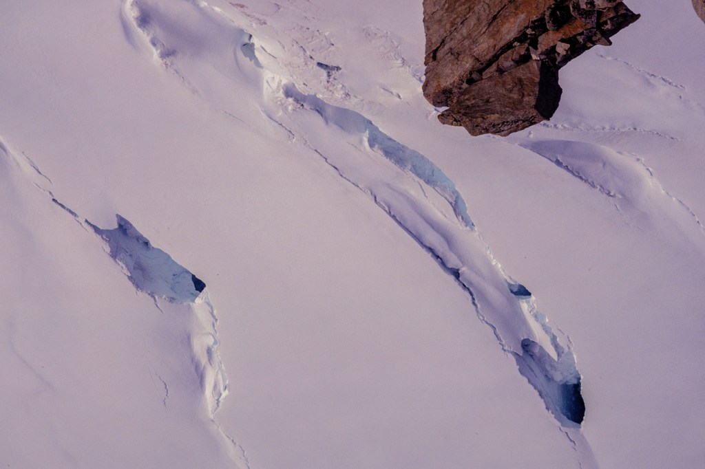
Crevasses everywhere.
Tiedemann Glacier below the hut.

Our 1981 attempt.

After our 1980 failure, we gathered more information and plotted a return in 1981. We invited Gus Benner and Joe Davidson to join us; they foolishly agreed.
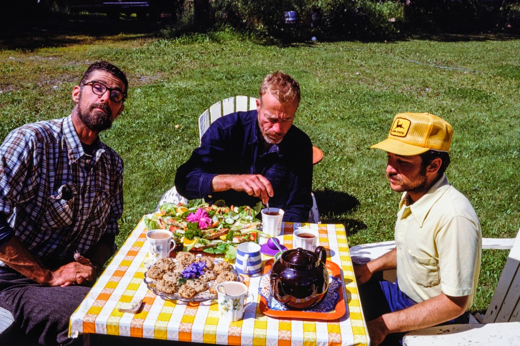
Fine dining at White Saddle Helicopters. Gus mugs for the camera on left, Joe stirs his tea, Chris seems lost in thought.
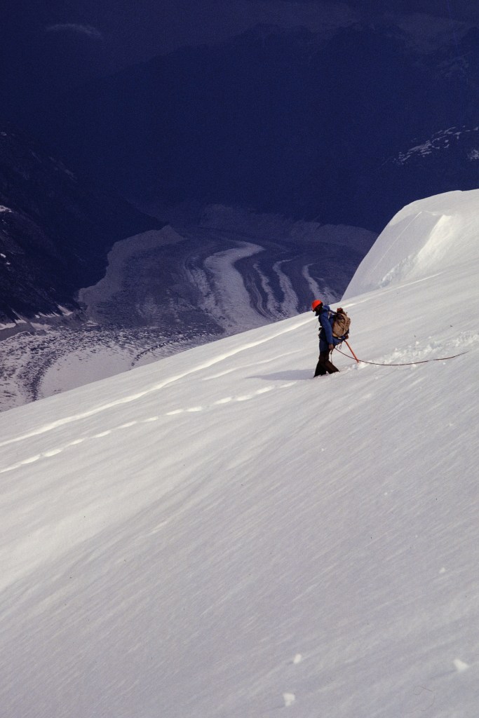
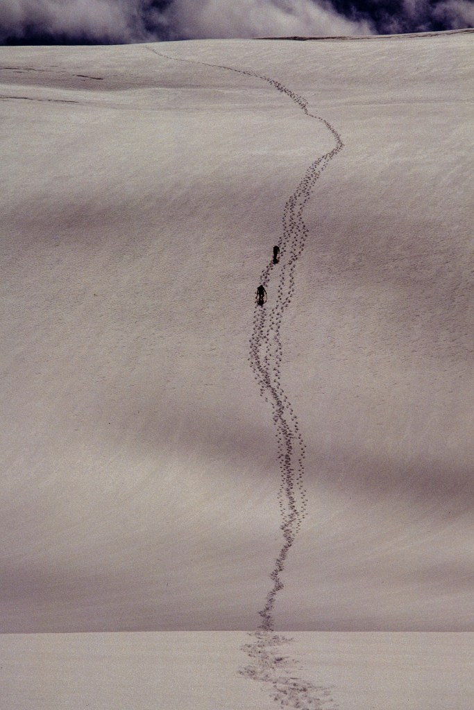
We climb up to Rainy Knob. Note how deep my footprints are.
Camp on Rainy Knob.
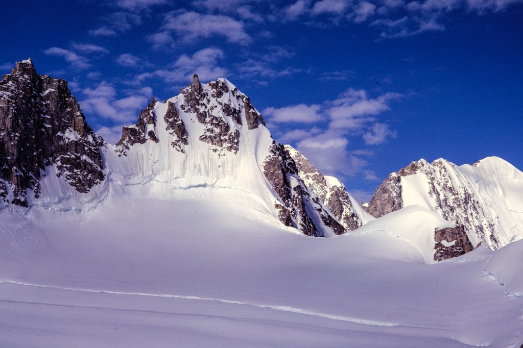
Telephoto view of upper part of Bravo Icefall. Long, diagonal gash in the snow near middle of photo is the bergschrund. We must cross this and climb to the ridge above.
I am trying to cross the bergschrund on the left. I could see way down into the dark depths of the glacier. Gus belays me at the right.
I’m up! Note the small avalanches coming down.
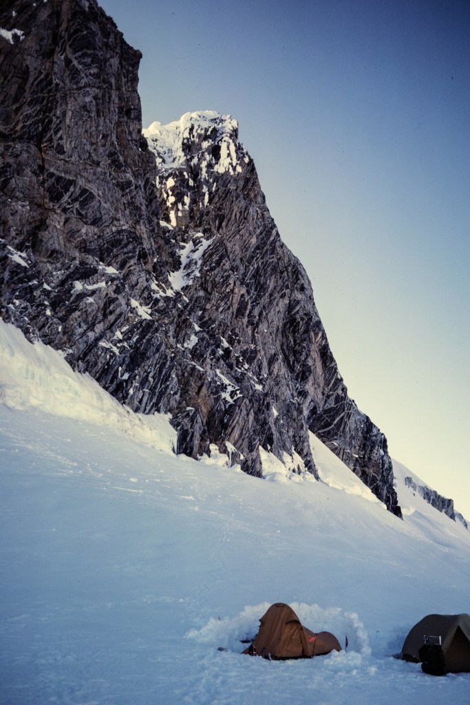
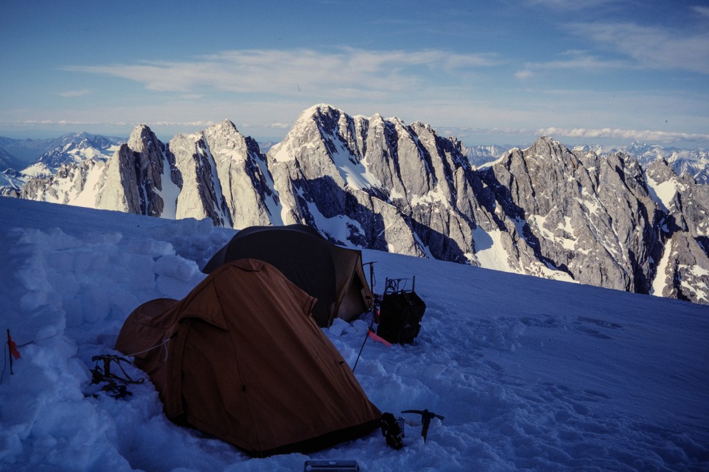
Our tents near Bravo Peak. Elevation. 9800 feet.

The Worst Night

July 17-18. The worst night – pure misery. My diary notes (written July 19) describe this: “We left camp at 5:15am, hoping to make the top. The route winds up steep, crevassed snow slopes. By 10am we were at the base of the summit tower…. We climb about 700 feet of rock and ice, protecting ourselves with ice screws, nuts, and pitons…. At 5pm we made the bad decision to bivy [bivouac = sleep in the open]. Chris and I shared a small ledge. It started to snow heavily at 6pm. We and our gear were tied off to the rock. Chris sat on the pack and I sat on the rope. [In the photo below, we were sitting on the summit tower, to the right of the gap between the Tooth and the Summit.]

            “What followed was the most miserable night of my life. It snowed steadily to 9pm, then fitfully to 2am. My wool knickers were soaked and so was part of my parka. The wind was the worst, bringing unbearable chill. Leaning against the rock wall was too cold, so I sat hunched over my knees all night.

            “…Had the storm gone on full force all night, some or all of us would probably have died from hypothermia. I cannot express in words how agonizing the cold was. All night I shivered on and off, and my teeth chattered. I did exercises to stay warm and used mental games to pass the time. Whenever I checked my watch, only 15 minutes had gone by – I tried to wait longer, but the elapsed time was always just 15 minutes. Chris was the youngest and I think he suffered the most. He asked if we would die. I said ‘absolutely not’ with all the authority I could muster, but I doubt he was convinced.

            “At 4am the sun began to lighten the sky and it was clear we would survive… the sun did not really warm us until 6am and around 7 we slowly stood up and moved about. No one suggested going up. We set up the first rappel and started down about 8:30am. I was still shivering. By 2pm we were off the rock tower. For 3 more hours we slogged back to the tents in wet snow. We repeatedly sank to our crotches and set off wet avalanches. Melted snow and drank the water, then slept for 13 hours.”
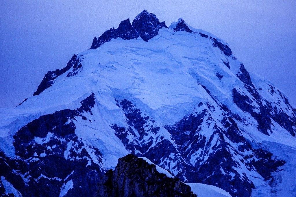
Telephoto view of the SE ridge, on left, and Tooth, Summit, and NW summit towers. Dusk.

July 19. We rested. Chris and I climbed nearby Bravo Peak. On July 20 we moved our camp to the base of the final tower, about 11,800. Because of wind, we built snow walls around our tents.
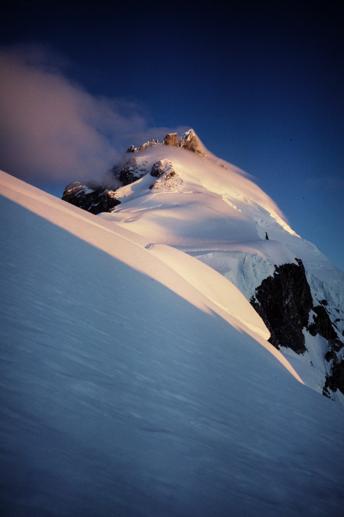
SE ridge and summit tower.
SE ridge, the Tooth, and Summit. Tracks from failed effort are visible.
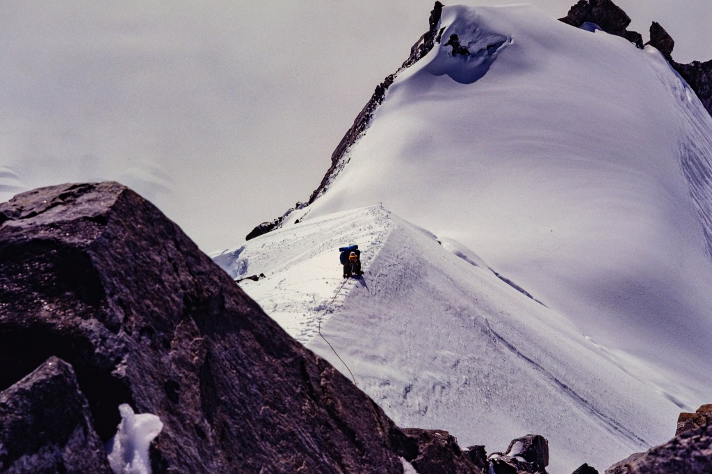
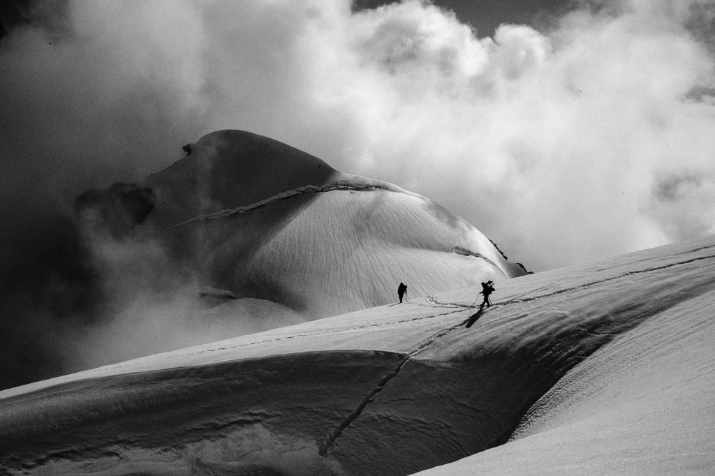
Joe moving camp up the SE ridge. Bravo Peak in upper right corner of photo.
Chris moving up.
New high camp with snow walls. Route to the top lies near center of rock tower.
Mts Combatant, Tiedemann, and Asperity in background.
Mt Munday
Summit. Route goes up the snow gully in lower middle, then into the shadowed rock cleft in center.

The Best Day

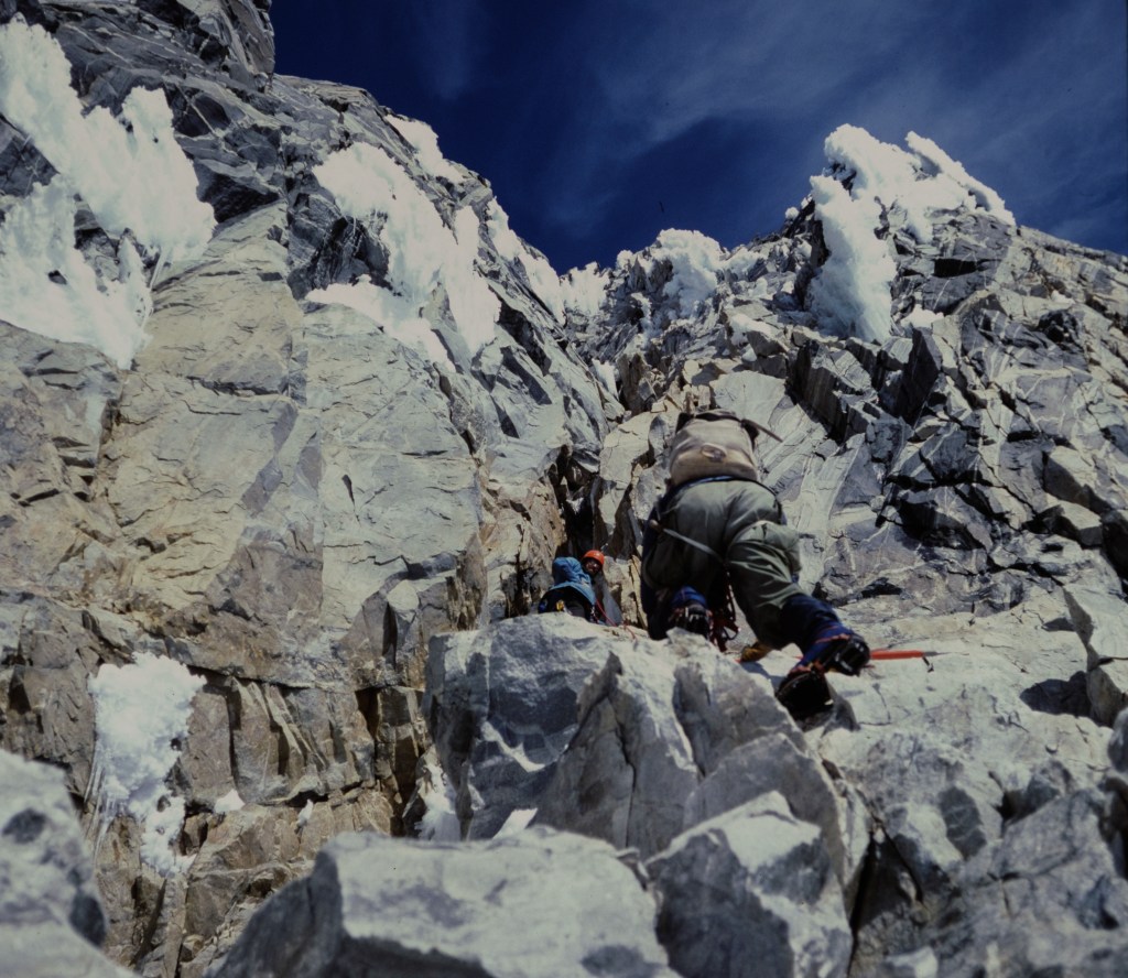
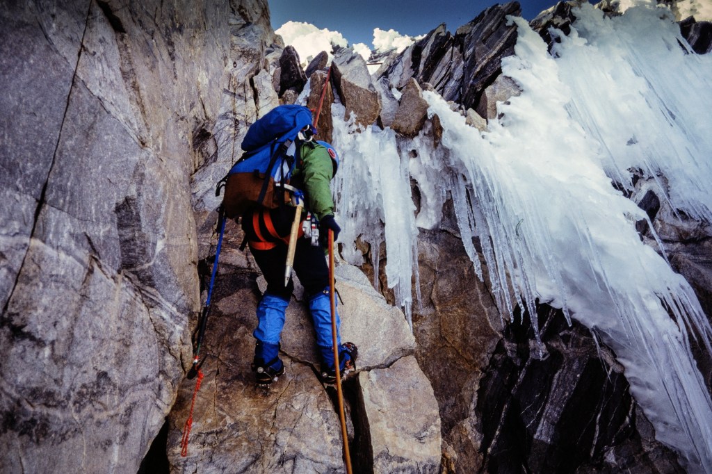
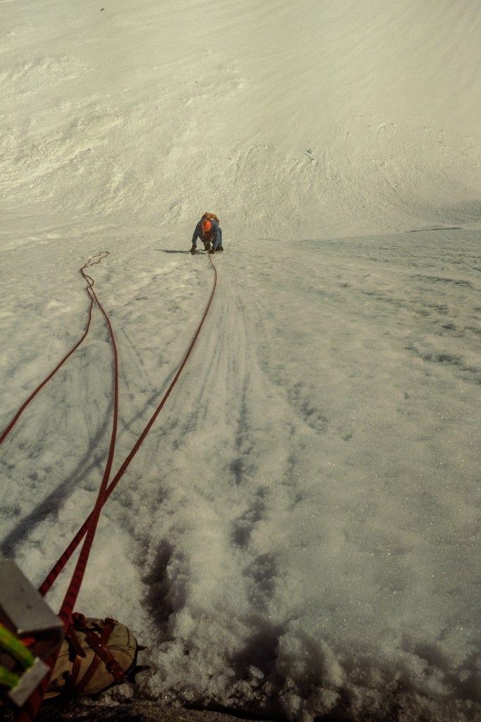
Diary entry: “July 21. Awake 2am. Ready to go by 4, but still too dark — we catnap with our boots on until 5:30. Then we start. As soon as we go my mood changes – I am excited, happy, and feel strong. Up to the notch between the main summit and the Tooth. Into a long rock gully. We are climbing on both rock and ice, wearing crampons which scrape on the rock. We protect ourselves with pitons and nuts in rock, screws in the ice. A chockstone blocks progress in the gully – we quickly overcome this by stepping up on nylon sling. Exit the gully on a ledge to left, then up and back right into the slot. Then the slope breaks back and we are on easier mixed rock and snow. I hear Gus call out – he is on top, 2pm. The top is a tiny snow tower; only two can go up at a time – are we actually standing on anything solid? Peaks stretch away for miles. Lovely sun. Then down and down and down, a mix of rappels and downclimbing with ice tools. At 9:30pm we are back at the tents. Water, food. I am smiling as I fall asleep.”
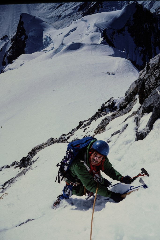
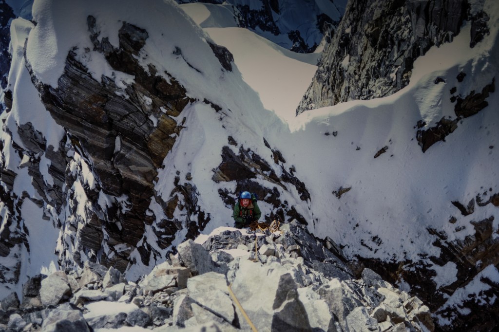
Chris. Note tents above his helmet. Bravo Peak in upper left.
Gap between Tooth and summit.
Gus and Joe. Chockstone above Gus’s orange helmet.
The Tooth. We are almost level with its summit.
I am on top. Gus and Joe are just below, starting descent. Our tents are on snow above their heads.
Chris joins me on top. A happy fellow. The Tooth is below his right elbow.
The NW summit.
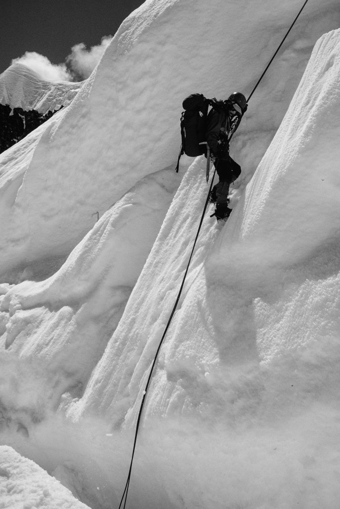
Rappeling down.
Chris rappels. Note crampons on his feet.
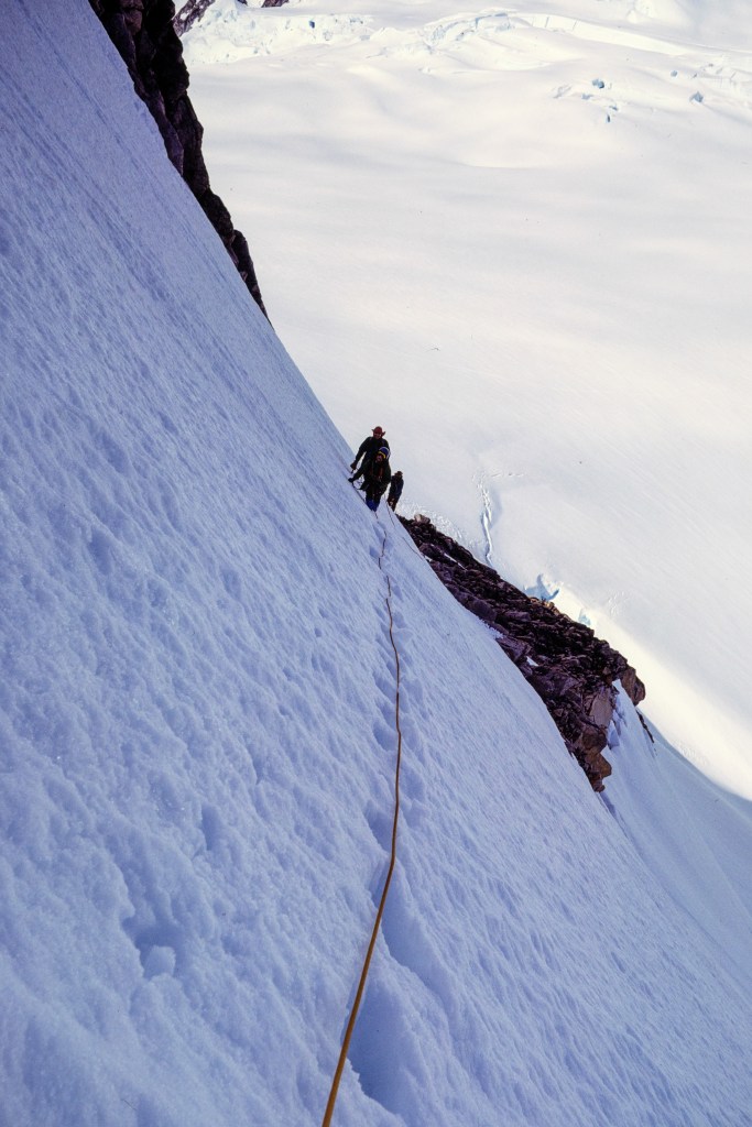
Descending the next day.
Gus and Joe. Bravo Peak in background.
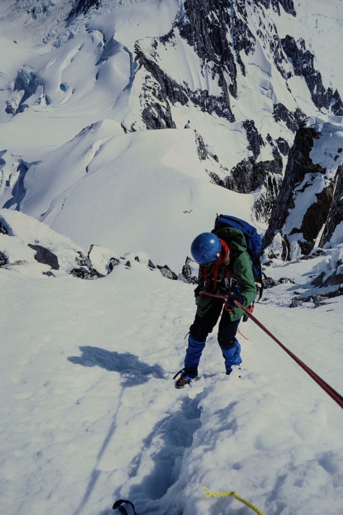
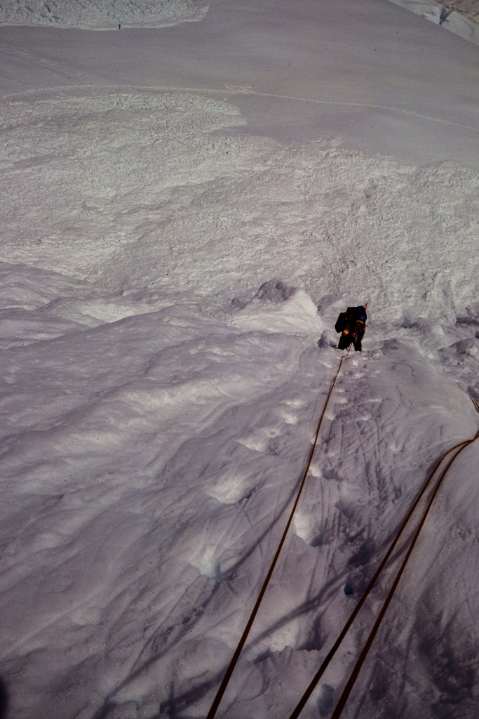
Rappel to the bergschrund. Avalanche debris below.
Crossing the bergschrund.

Aftermath

We hiked up to the Plummer Hut and climbed additional peaks (Heartstone, Dentiform, Serra III).

Gus and Joe approach the hut.
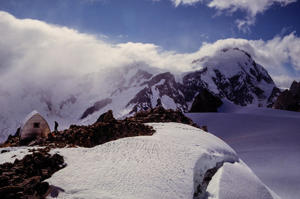
Hut on left, Bravo Peak in middle, Waddington in cloud on right.
Avalanche pours off Waddington.
Dawn view from the hut.
Summits everywhere.
Mount Heartstone.
Climbing Heartstone.
Heartstone.
Descending a slope.
Dentiform. We climbed this.
Serra III; highest point near middle. Gus and I climbed this.
Serra III from Tellot Glacier. Route goes to snow notch on left, then right up ridge.
Gus coming up Serra III. My boot is in lower left.
View from Serra III.
Our taxi arrives. Time to go home.

April 2024

            During April, Roberta and I traveled the Eastern Sierra from Owens Lake to Mono Lake, collecting photos. I decided to create this month’s blog using a selection of those pictures, mostly bird images. I will group the photos by location and list the places from south to north.

Owens Lake

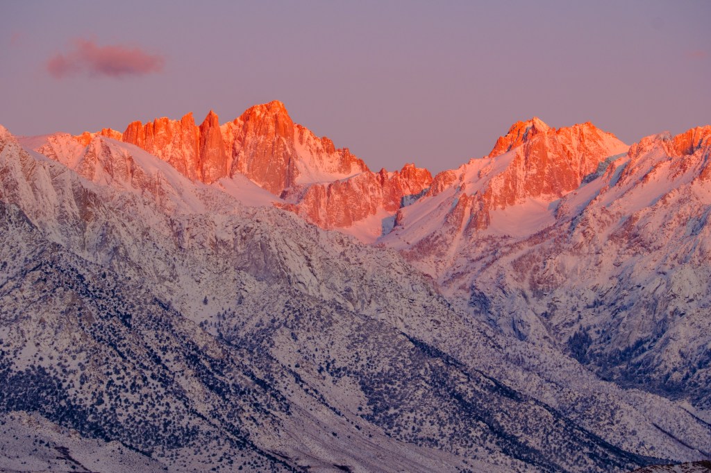
            On April Fools’ Day, we got up in the dark and drove to Owens Lake to photograph the dawn on Mt Whitney. It was cold and windy, so I froze taking pictures, while Roberta sat in the warm car sipping coffee; smart woman.

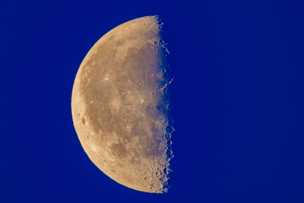
            The moon was at third quarter. The giant crater Copernicus is near the center of the photo below; this crater is fully lit and a white blanket of ejecta spreads out over a diameter of 300 miles. The crater walls are 13,000 feet high. Above and right is the crater Erastosthenes and the Appenine mountain range extends, from there, further up and right into the darkness of the terminator (the line between dark and light). The brightest area in this range is a feature that is white on its left side, dark on the right side; this is Mt Huygens, 18,000 feet, the highest lunar peak. So the tallest mountain I saw that morning was Huygens, not Whitney (14,505 ft). Lower in the picture, right on the terminator, are 3 big craters in a line. From top to bottom they are Ptolemaeus, Alphonsus, and Arzachel.
Third Quarter Moon

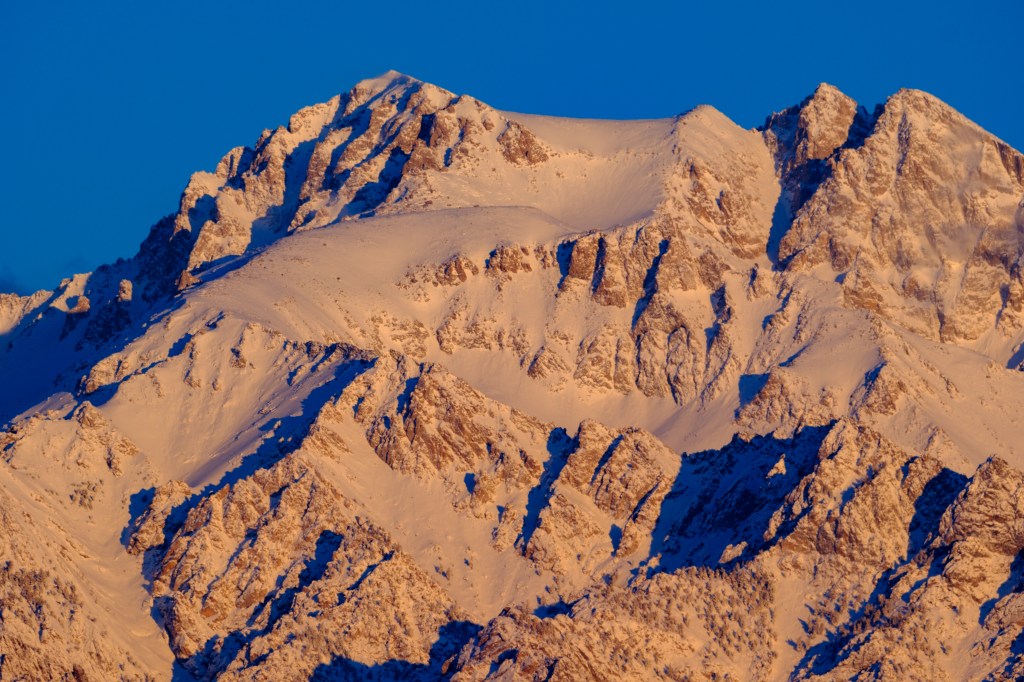
            In the photo below, the tall point left of center is Whitney.

Mt Whitney

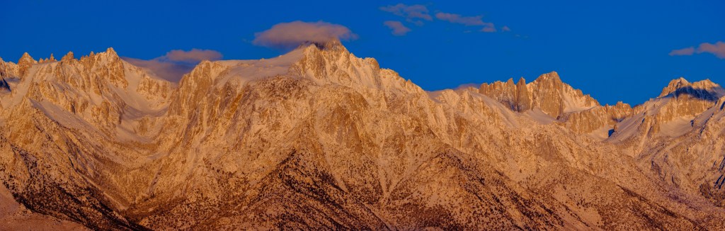
            Below, a panorama shows, from left to right, Sharktooth, Mt Corcoran, Mt LeConte, Lone Pine Peak (12,944) in the middle, and Mt Whitney on the right. Lone Pine Peak looks taller because it is closer.

            Mt Willliamson (14,375) is California’s second highest peak. The summit is on the left.

Mt Williamson

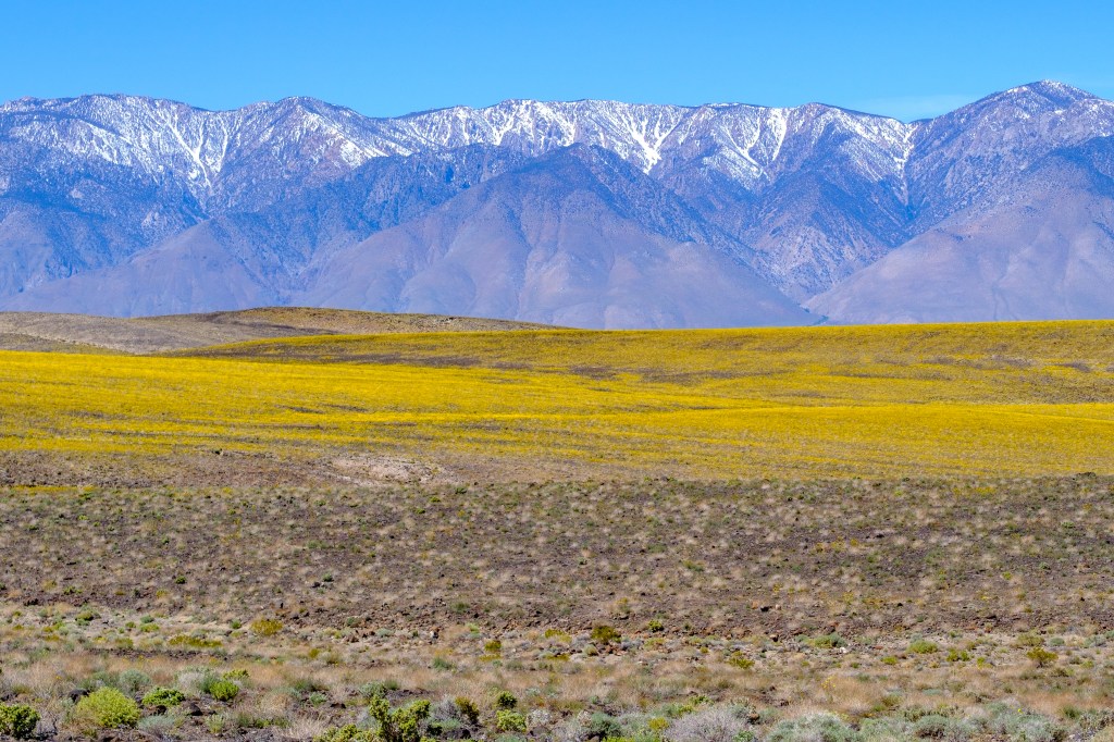
            South of Owens Lake, along Highway 190, there was a bloom of Desert Sunflowers. The southern Sierra is in the background.

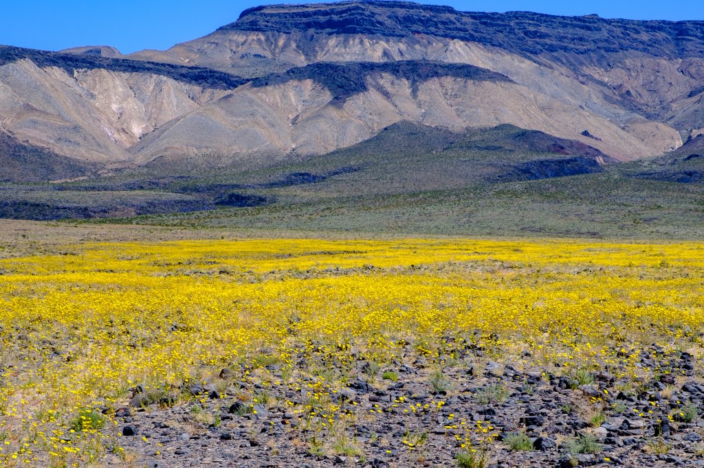
Desert Sunflowers. Malpais Mesa in background.

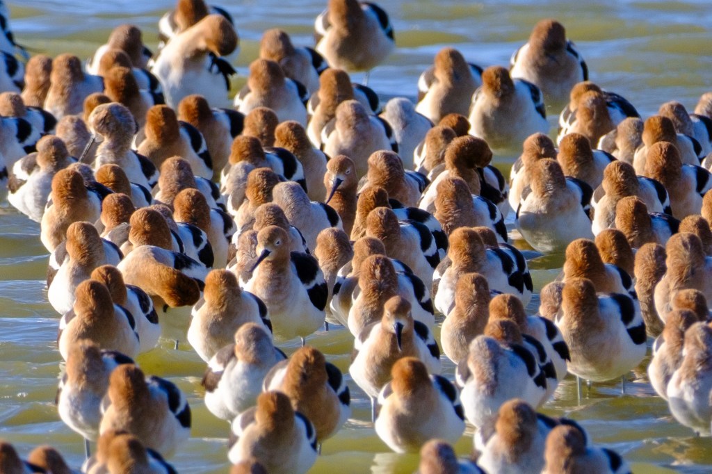
            On April 1, American Avocets were on Owens Lake, sheltering from the wind behind an elevated road. Their bodies are facing north, but most have turned their heads to face south, away from the cold wind.

American Avocets, Owens Lake

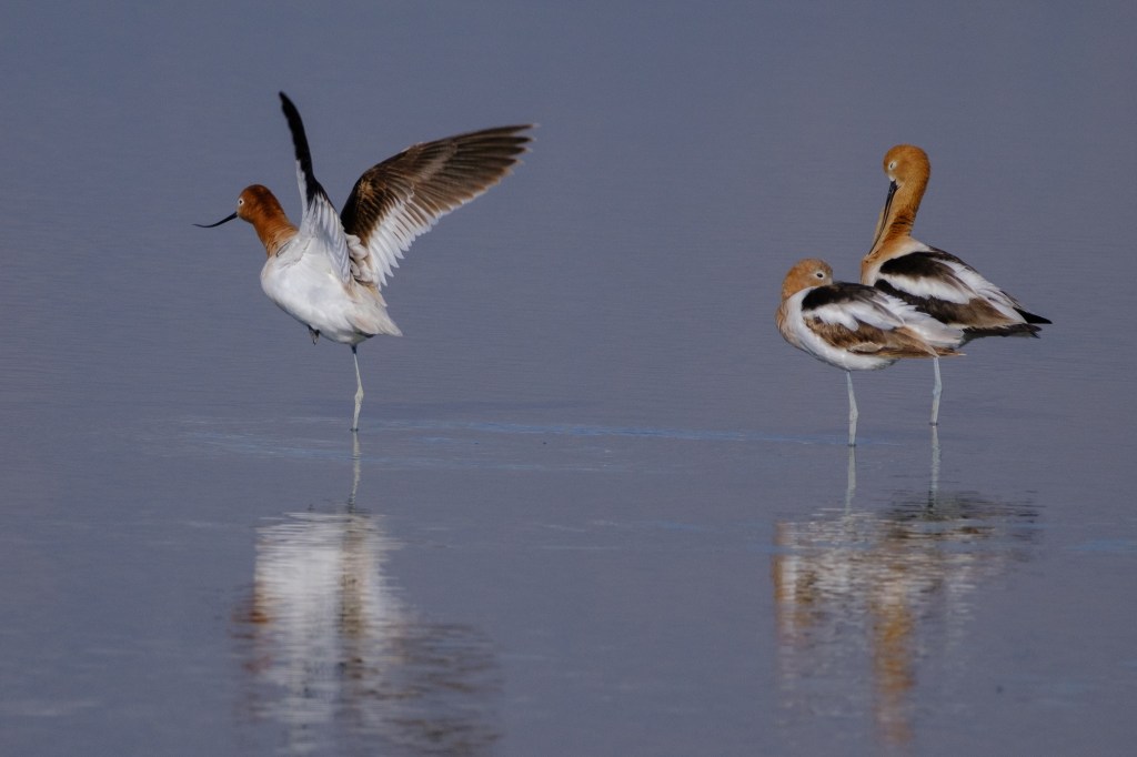
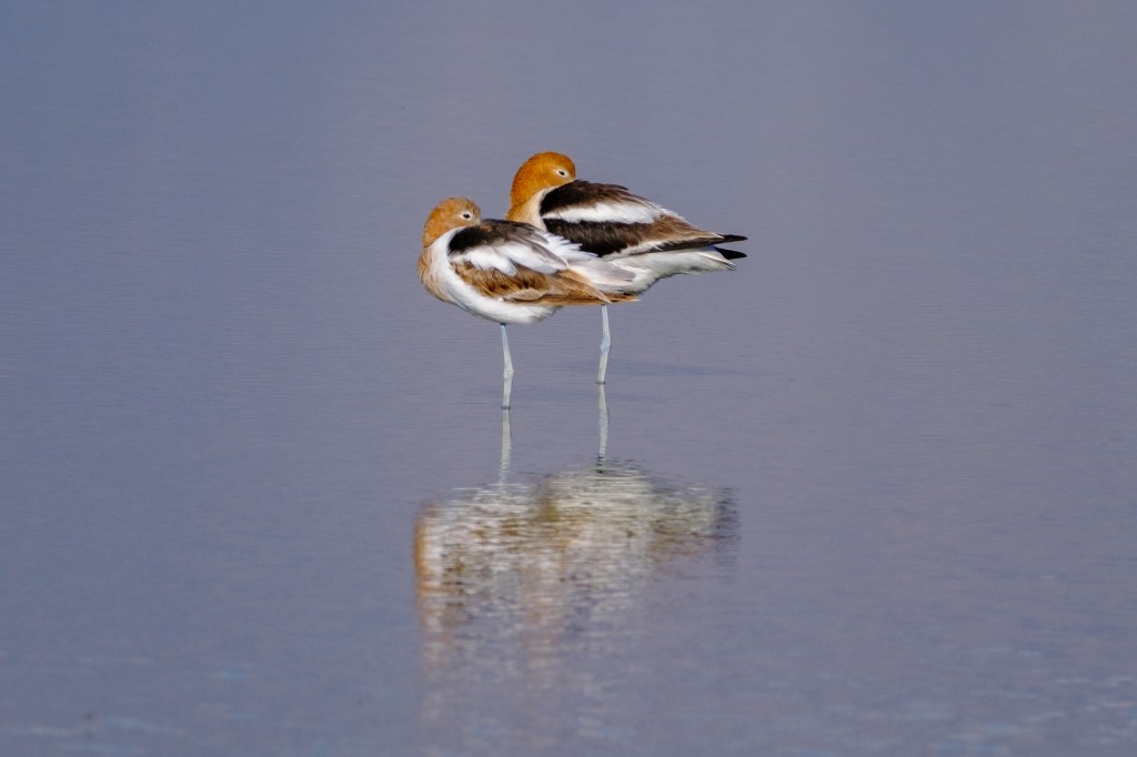
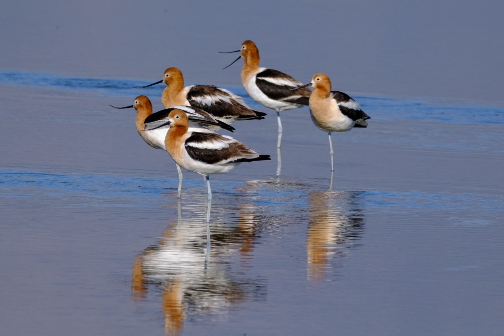
            On April 20 we joined the Owens Lake Bird Festival and toured the Lake with expert bird photographer Martin Powell. It was a warm, calm day. Many Avocets were standing around on one leg. In the first photo, an Avocet was hopping on one leg.

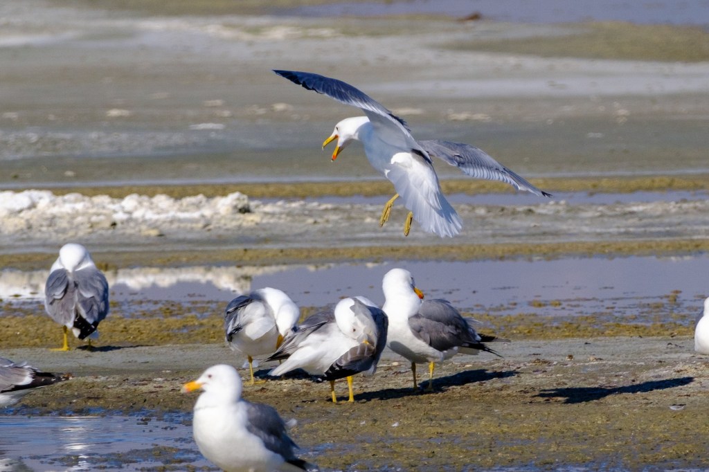
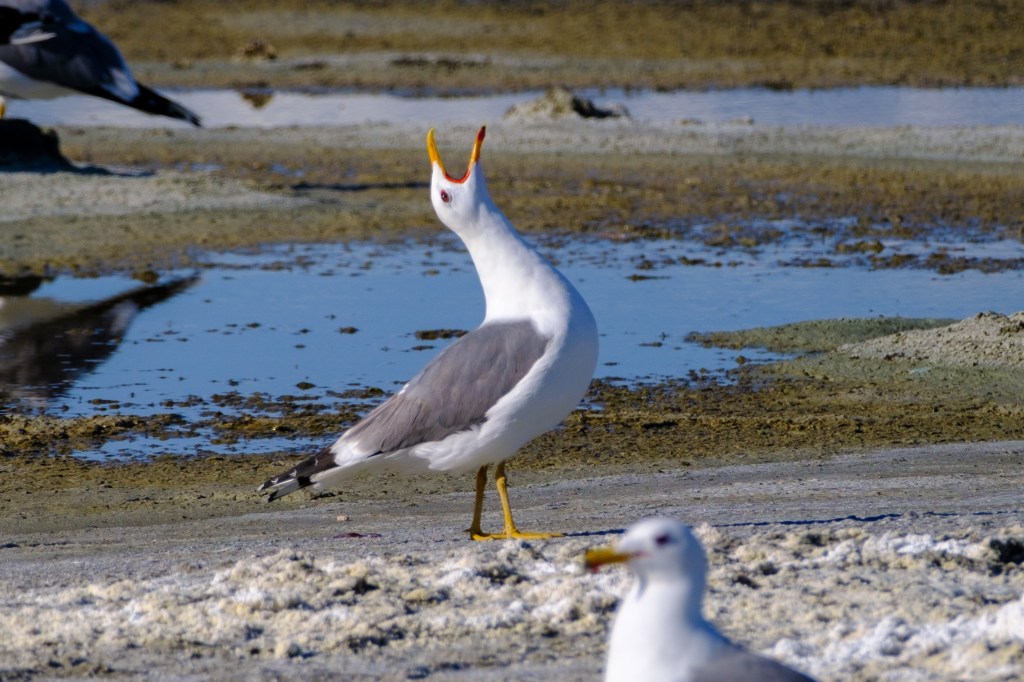
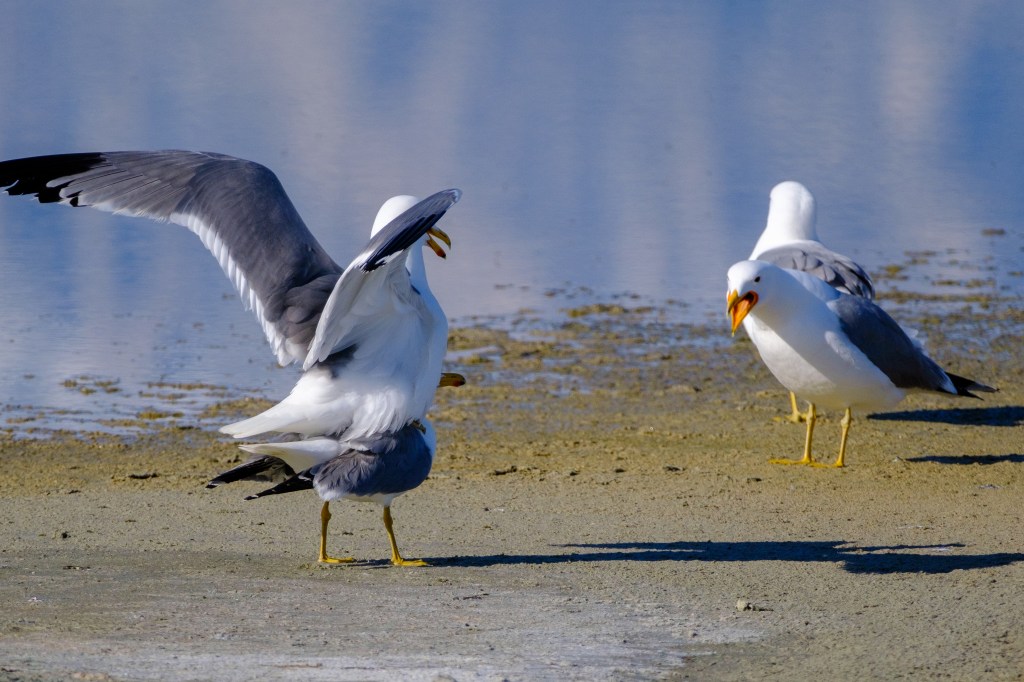
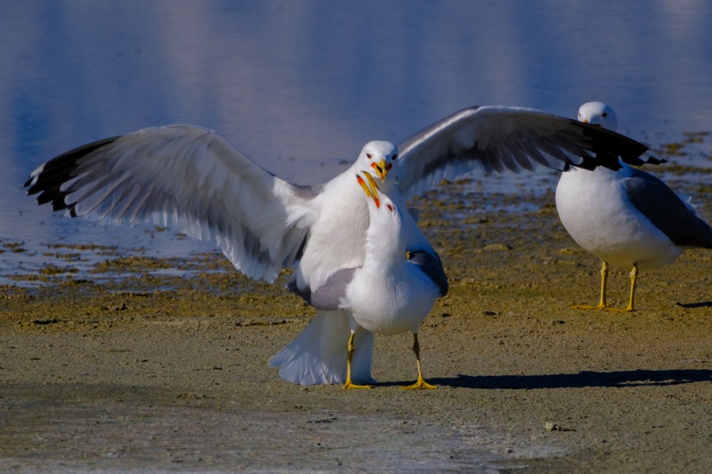
California Gulls migrate from the coast to the Owens Valley to breed.

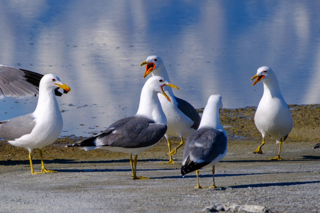
            One Gull couple gets serious about breeding; the Gull on the right is saying “Get a room!”

Will you still respect me in the morning?

            Least Sandpipers flying in front of the Sierra.

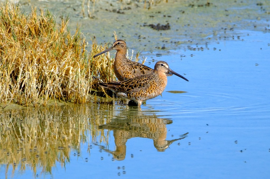
Long-billed Dowitchers have a dull red-brown plumage.

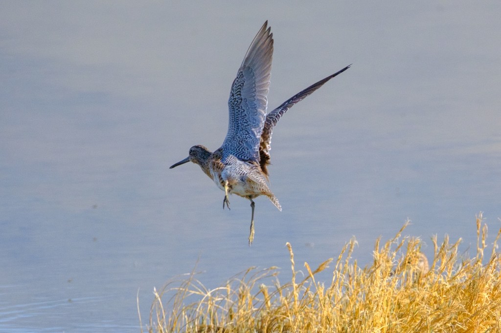
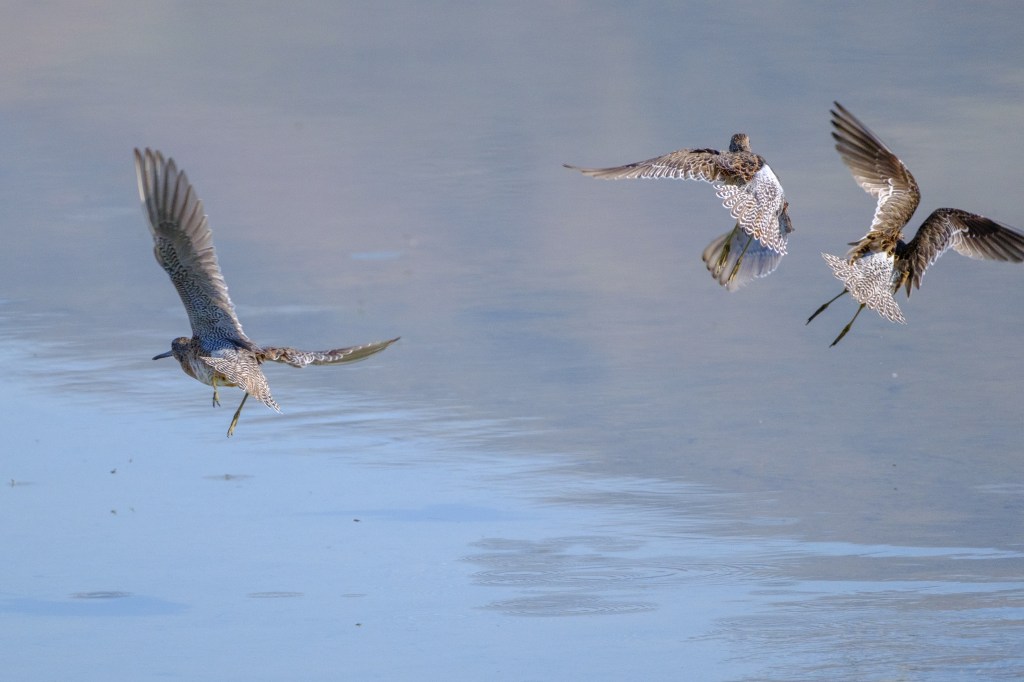
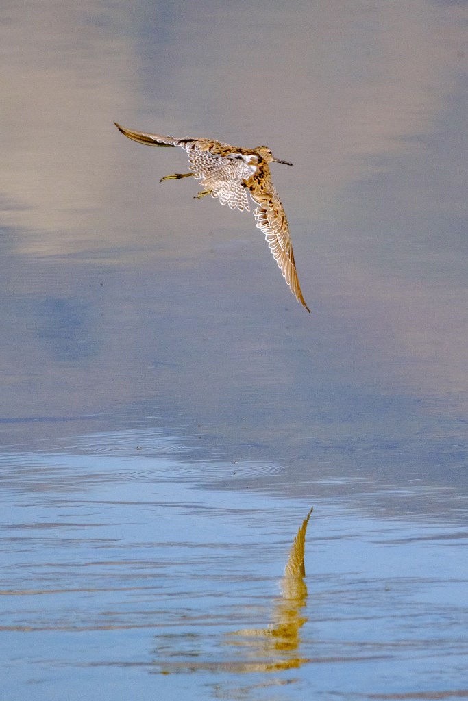
            But when Dowitchers take off, they reveal intricate patterns in their wing and tail feathers.

The Dowitcher below is reflected in the lake; it look as if a wing is reaching up from the water.

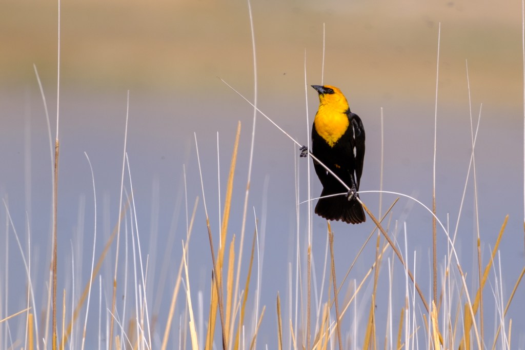
Yellow-headed Blackbirds are found in the reeds.

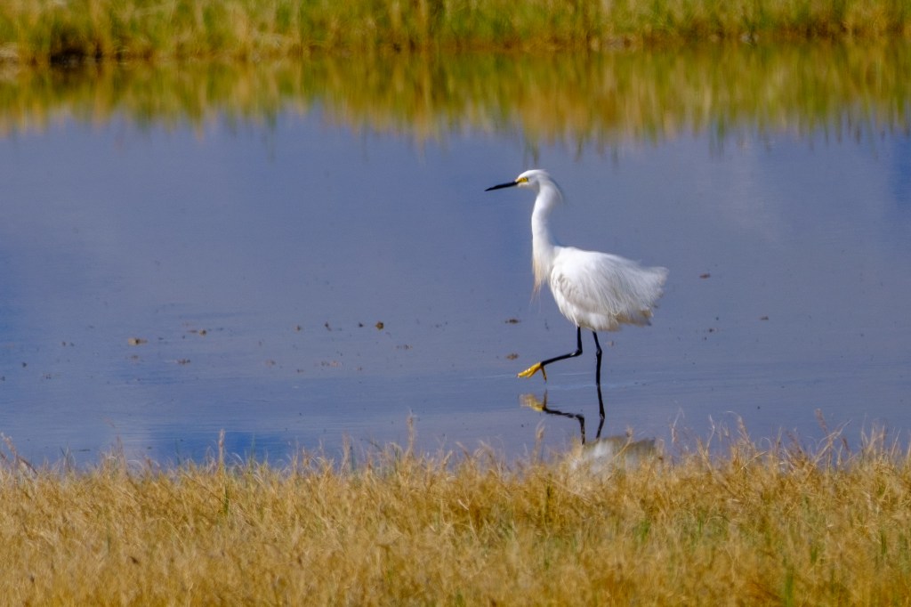
            A Snowy Egret, with breeding plumes, looks stately at first, but then shakes itself into a mess.

Buckley Ponds

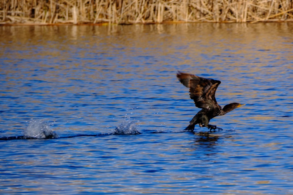
            The Ponds are just a few miles east of Bishop. Here a Double-crested Cormorant takes off by pushing on the water.

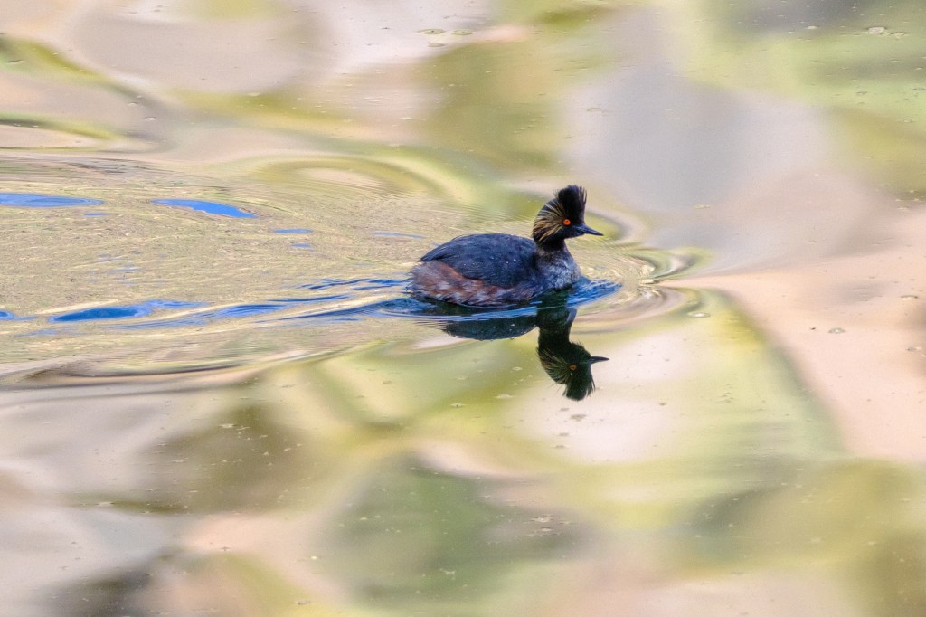
Eared Grebe
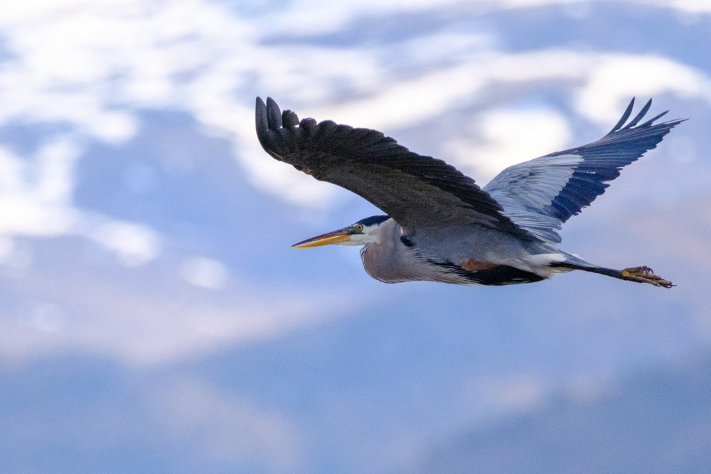
Great Blue Heron. White Mountains in background.

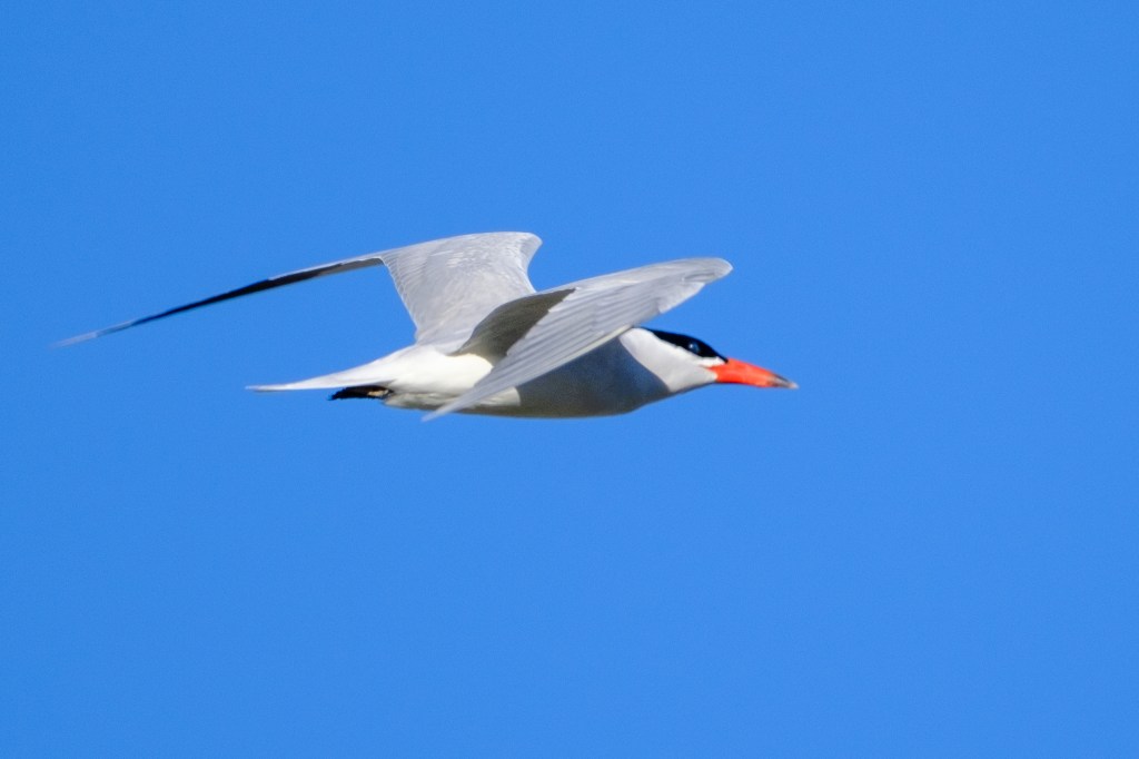
            Two Caspian Terns streaked past, heading north; I was lucky to get a shot. This bird may have spent the winter on the Mexico coast. I photographed two of them at the Ponds in April of 2022. They were feeding there for at least two days.

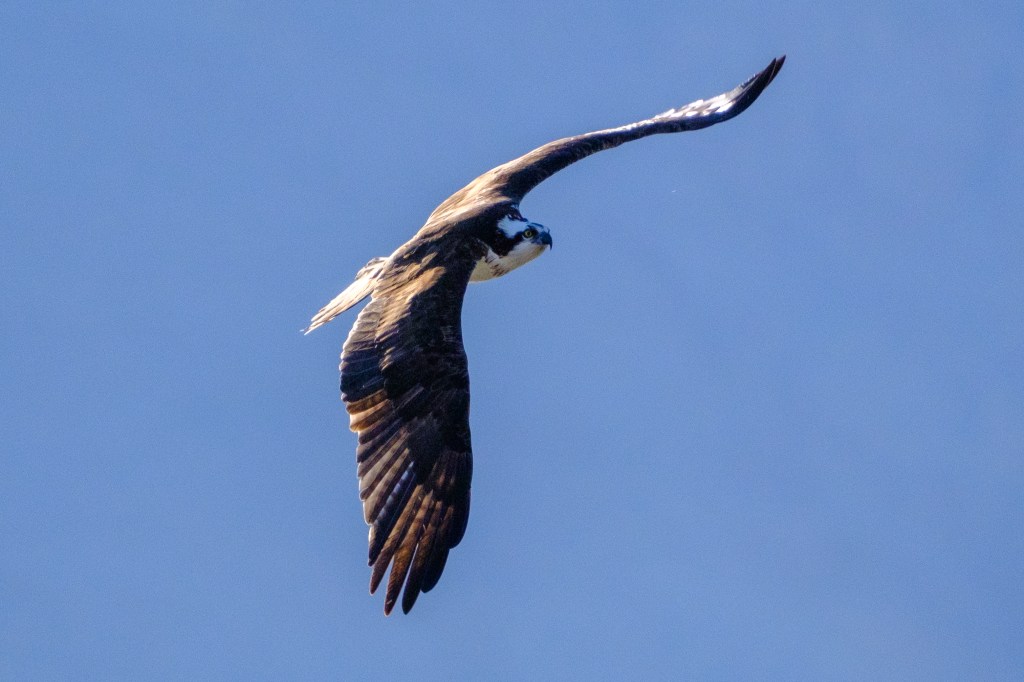
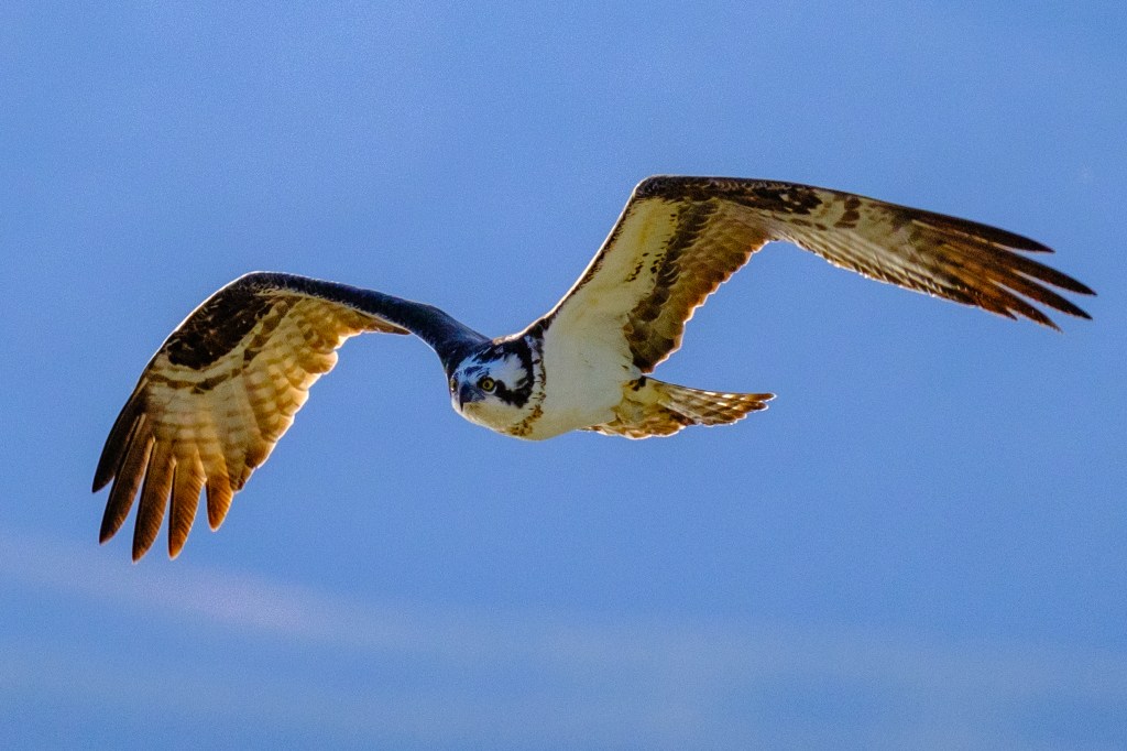
            An Osprey circled toward me, a turn that lasted 9 seconds; the camera captured over 100 images. Here are two of my favorites.

Bishop Creek Canal

            This area, including South Airport Road, is usually reliable for bird pictures.

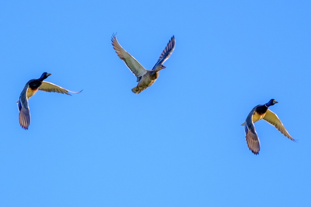
Mallards
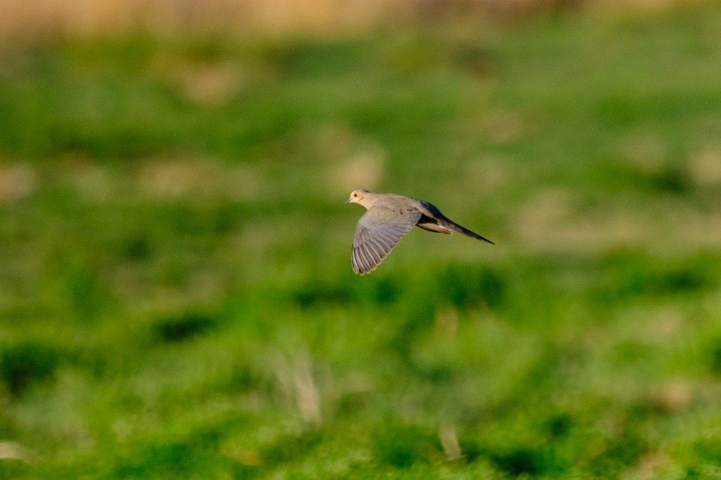
Mourning Dove
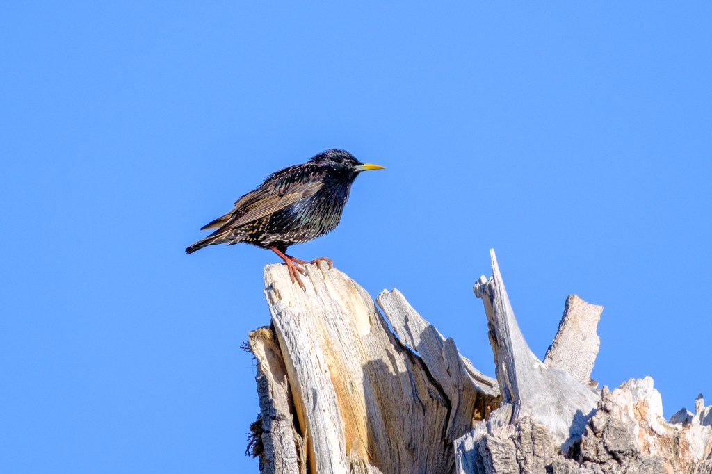
European Starling. Big toes!
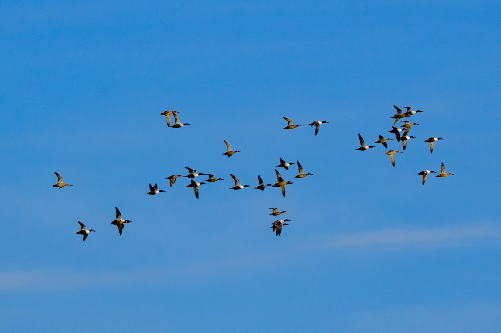
Northern Shovelers migrate north
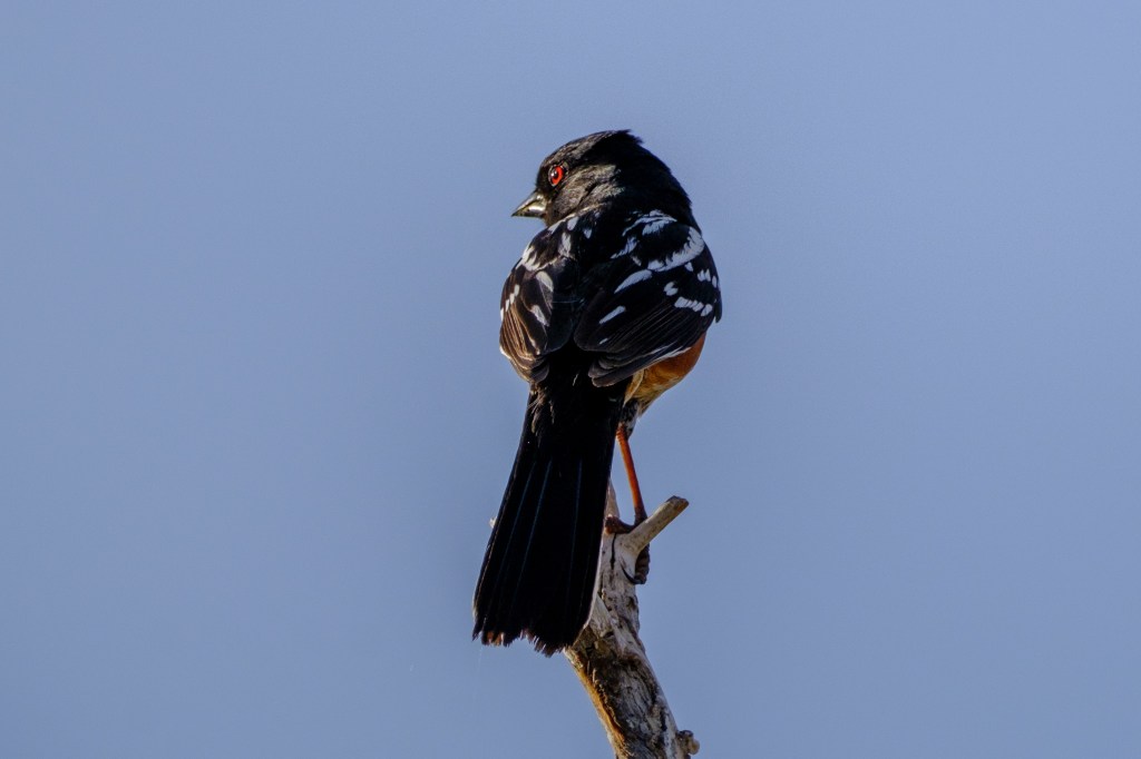
Spotted Towhee
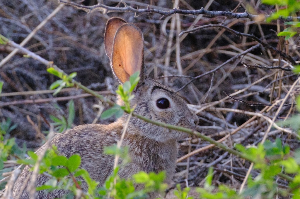
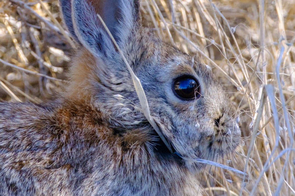
Desert Cottontail
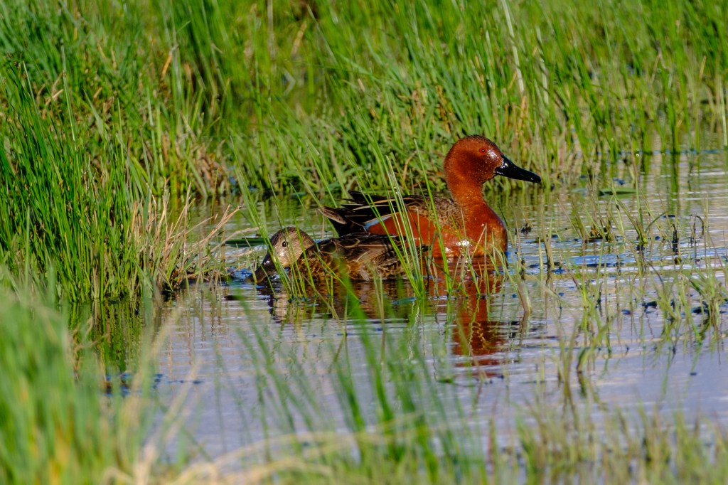
Cinnamon Teal

Western Bishop

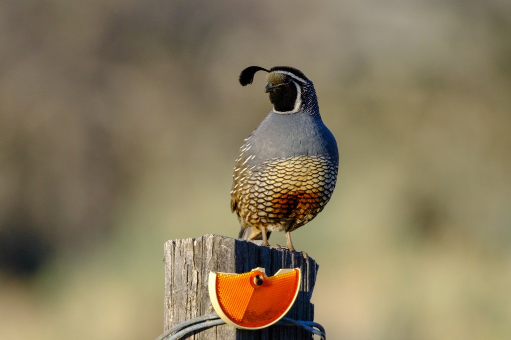
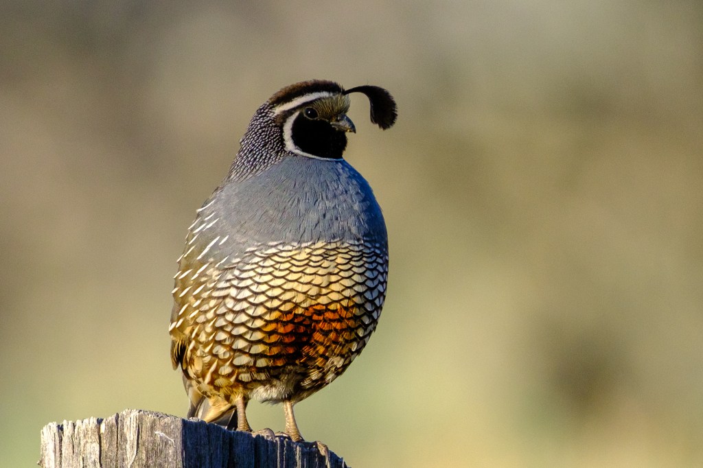
            California Quail, our State Bird, are common around Bishop. I find them hard to photograph; they usually run off quickly, so most of my pictures show Quail butts. But on Riata Lane, a male ignored me as I walked past.

The Sierra

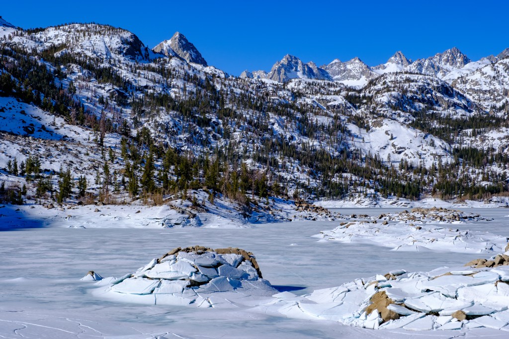
            Friends visited us in April. On the 25th we drove to Lake Sabrina at 9200 feet. Winter is still here. Fishing season opened in the valley at 5am on April 27, but it will be a while before fishing opens in the high Sierra.

Lake Sabrina

Dixon Lane and further north

            Just north of Bishop, on Dixon Lane, is a road with a green gate. Owls often nest here and other birds use the area. From Dixon Lane you can get nice views of the mountains.

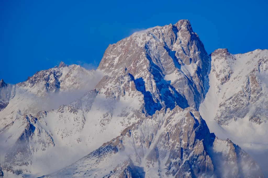
Mt Humphreys. Peaklet in foreground.
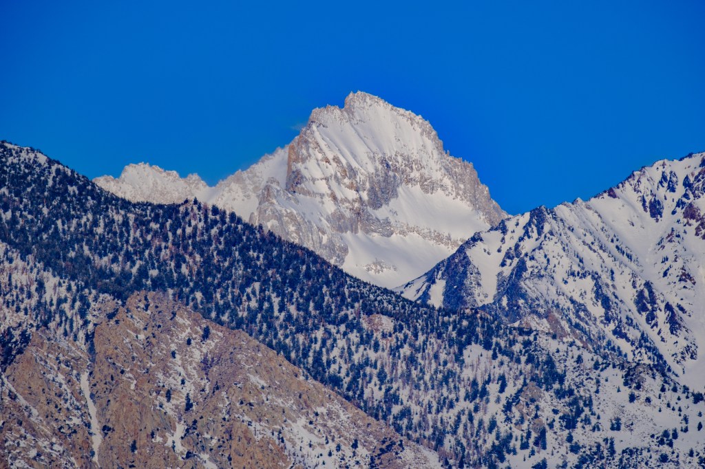
Bear Creek Spire

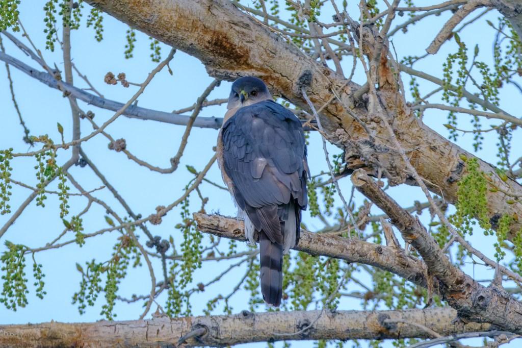
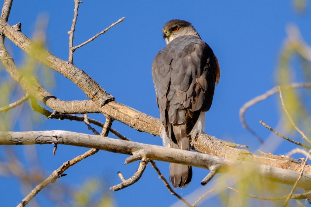
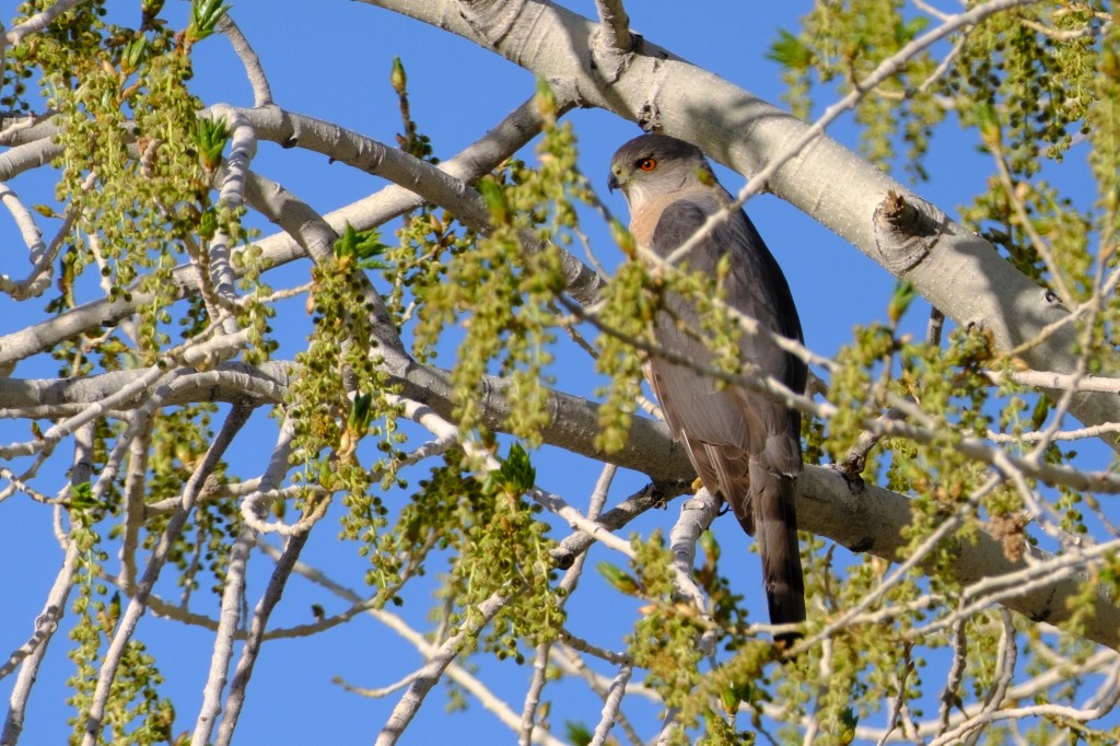
A Cooper’s Hawk was present.

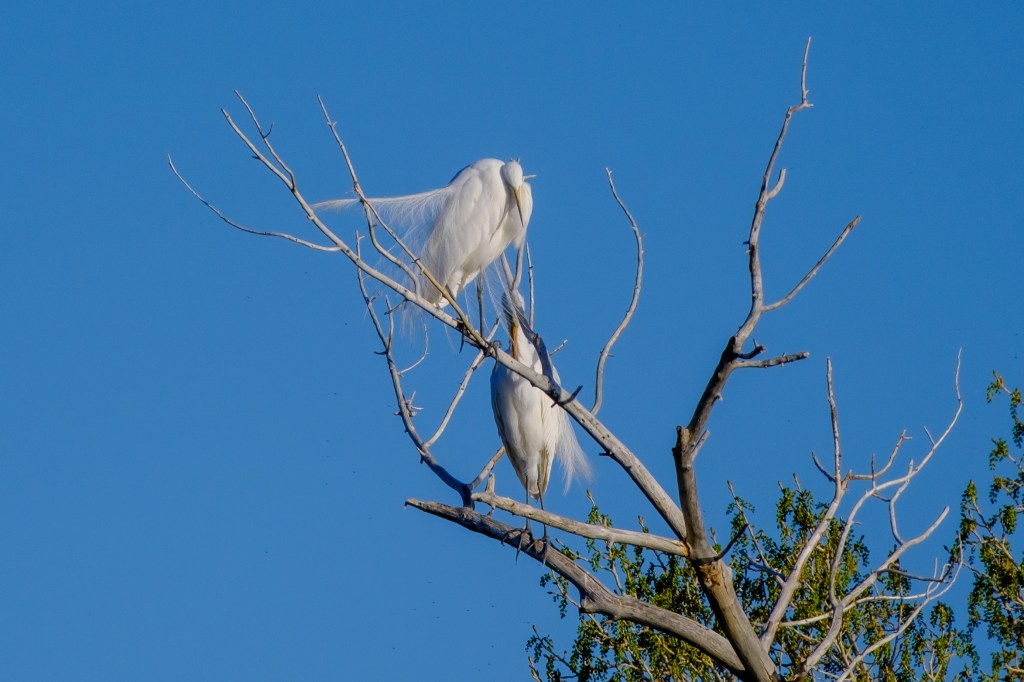
Great Egrets in breeding plumage
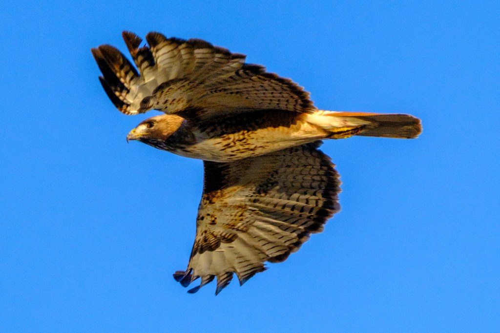
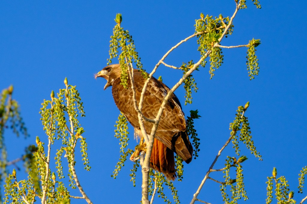
Red-tailed Hawk
Red-tailed Hawk

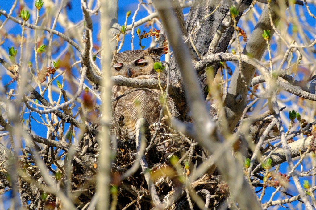
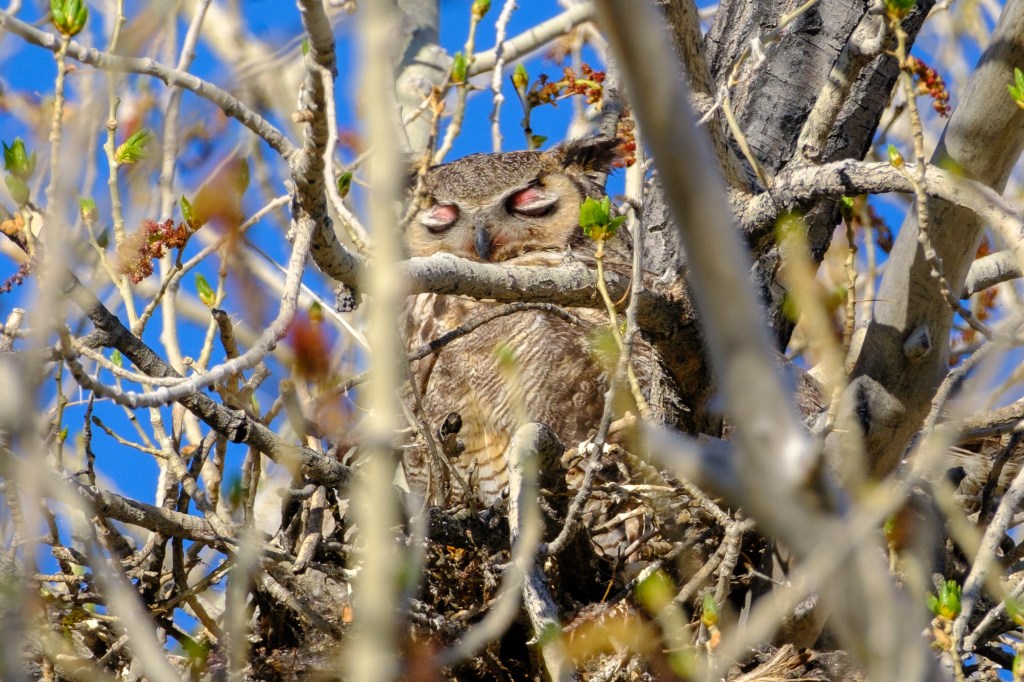
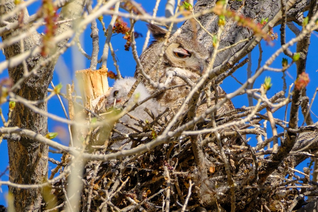
            This year the Great Horned Owls put their nest high in a tree with a lot of leaves. This made it hard to get pictures: inconsiderate of them. Why does this owl seem to be wearing red eye-shadow?

Great Horned Owls; adult and fledgling
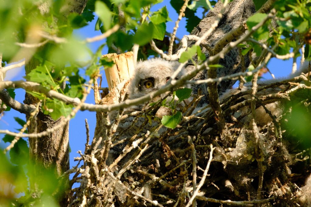
The baby looks ridiculous.
A week later. There are at least 3 babies in the nest.

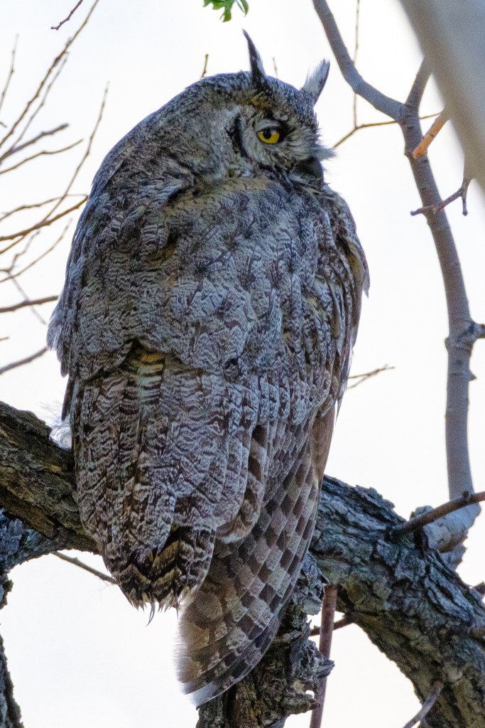
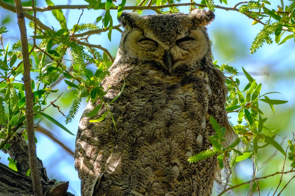
When you see a nest with one adult, the other owl is usually nearby. Finding them can be difficult, as they blend into the shadows of the Cottonwoods.

Pleasant Valley Reservoir

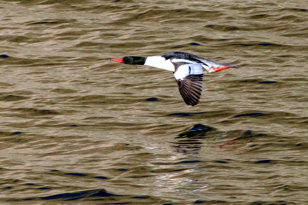
Common Merganser (male).
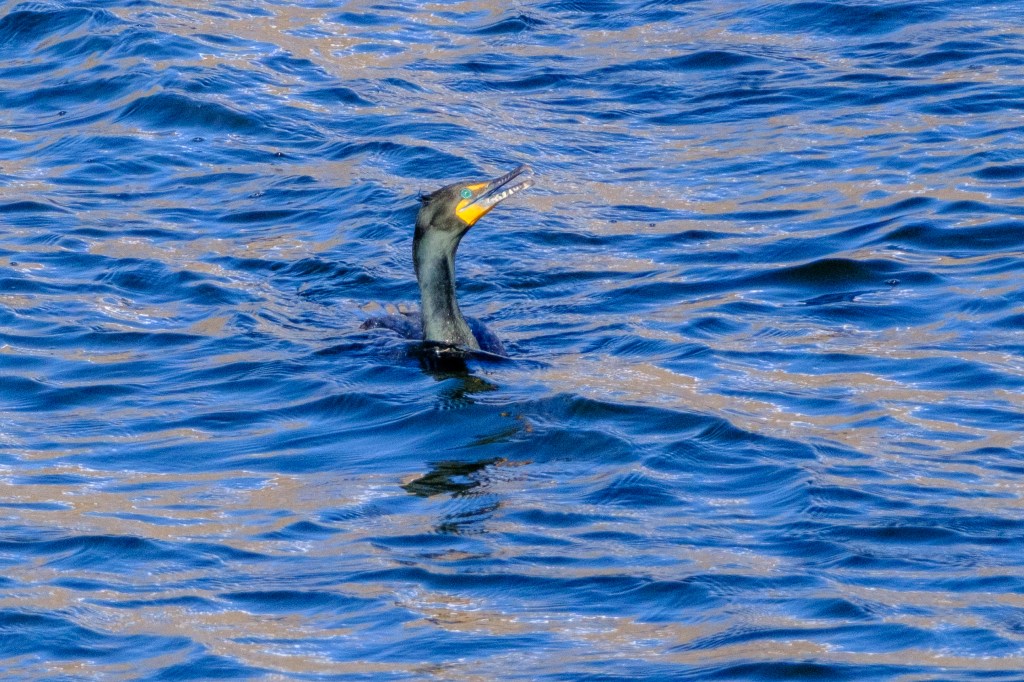
Double-crested Cormorant. Looks like it is sinking.
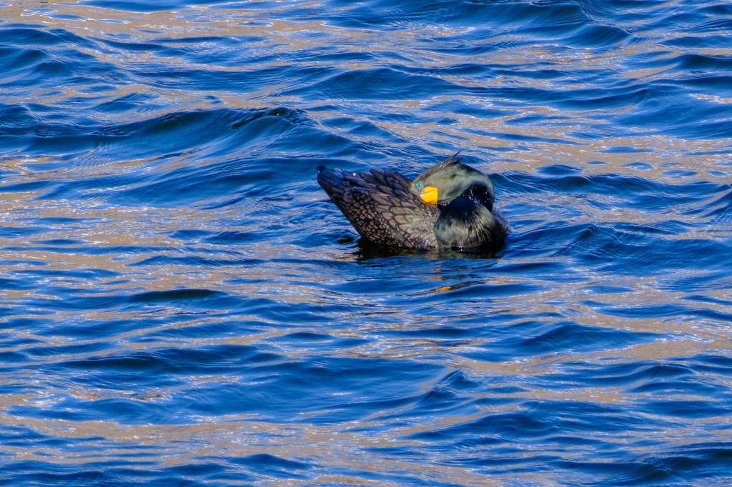
Double-crested Cormorant, preening. Eyes look like sewn-on blue buttons.
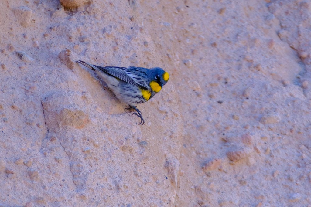
Yellow-rumped Warbler.
Eared Grebe.
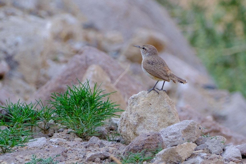
Rock Wren
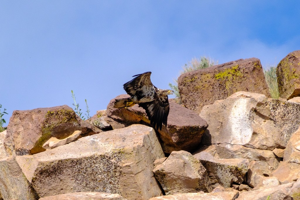
Immature Bald Eagle

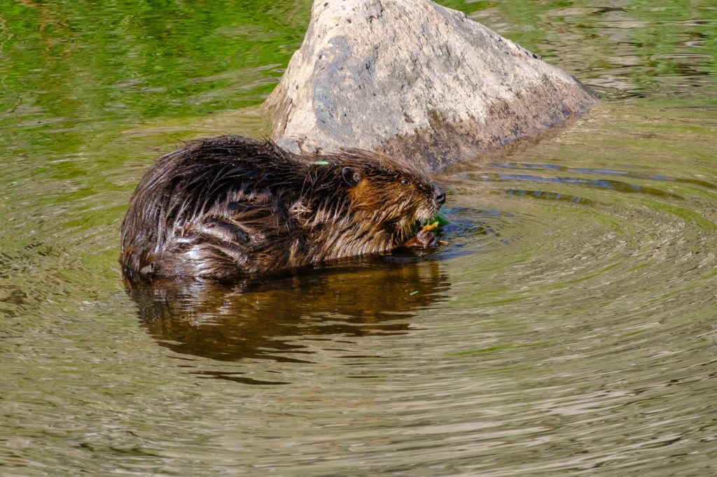
            It took me years to realize that Beavers are common in the waters near Bishop. The most obvious sign of their presence is a newly-downed Cottonwood, with tooth-marks on the remaining stump. Sinuous marks from their tails can be seen on dirt roads. But getting photos of these creatures has been hard. The pictures below were taken where the Owens River flows into the Reservoir.

American Beaver
Eating a Cottonwood branch.

Convict Lake

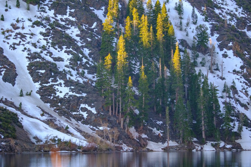
            We visited Convict Lake (elevation 7850 ft) on April 23. The ice has melted, but snow still lingers on the south shore and higher up along Convict Creek.

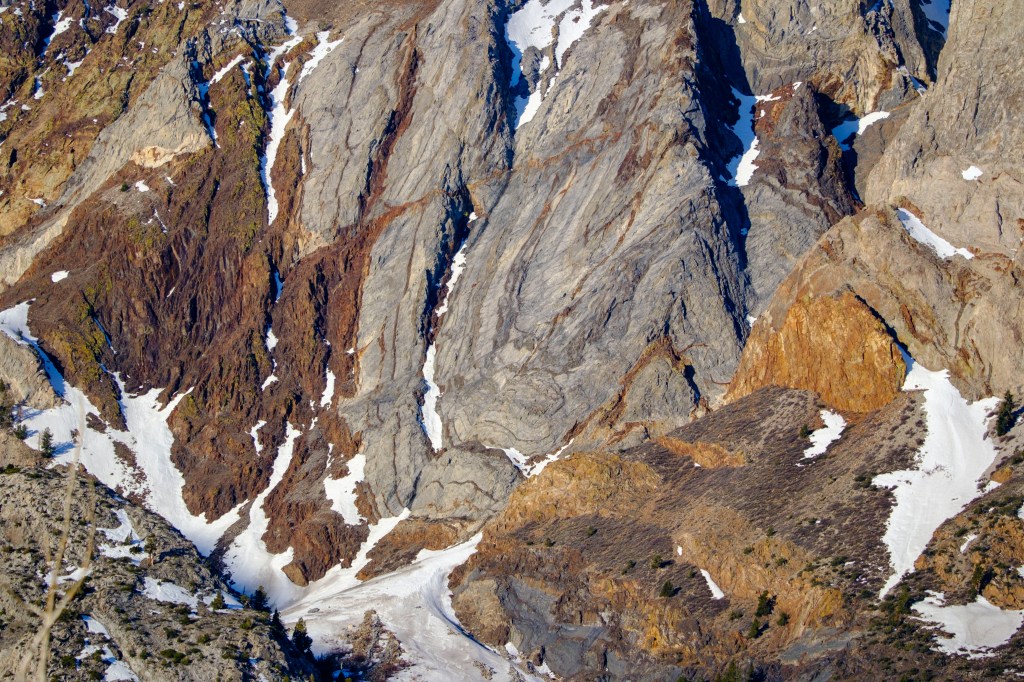
Twisted rock layers of Laurel Mountain
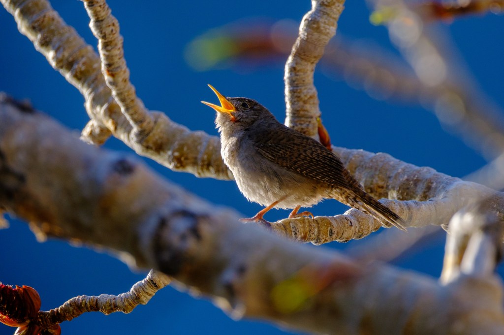
House Wren
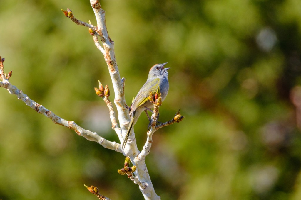
Green-tailed Towhee
Green-tailed Towhee

Mono Lake

            In June, thousands of birds will come here. But in April it is pretty quiet.

Desert Cottontail.
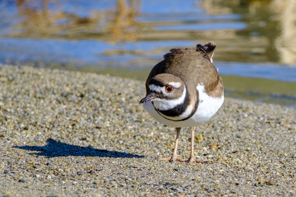
Killdeer.
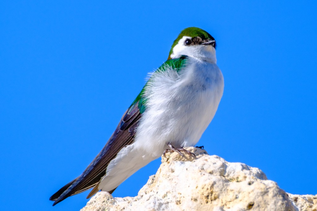
Violet-green Swallow